
One last engineering test planned for Ingenuity
Engineers plan to do one last engineering test with Ingenuity, slowly rotate its propellers while collecting imagery, likely from both the helicopter and Perseverance.
Teddy Tzanetos, Ingenuity Project Manager, said that NASA and JPL still aren’t sure what caused the damage to Ingenuity’s blades; it remains unclear whether the helicopter’s power dipped during landing, causing unwanted ground contact, or if it accidentally struck the ground to cause a “brownout.”
Tzanetos added that NASA and the Jet Propulsion Laboratory (JPL) will slowly rotate the helicopter’s blades and “wiggle” them, or adjust their angle, while collecting video in order to allow the team to determine the extent of Ingenuity’s damage. However, Tzanetos said that no matter what such imaging will show, the dual-rotor drone has flown its last flight and will soon end its mission.
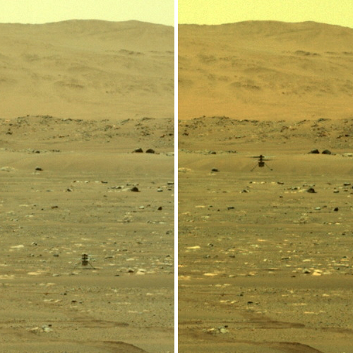
This test will likely not occur until Perseverance gets into a position where it can film the test also. The helicopter’s cameras look downward, so all it will be able to photograph is the shadow of those blades as they move. Perseverance can look directly at it, and if it gets into a position slightly higher than Ingenuity it can get a good viewing angle down at the blades.
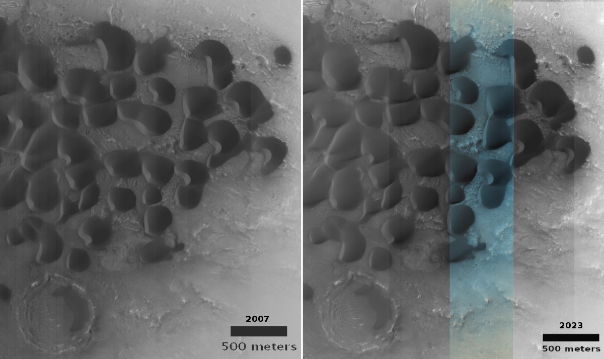
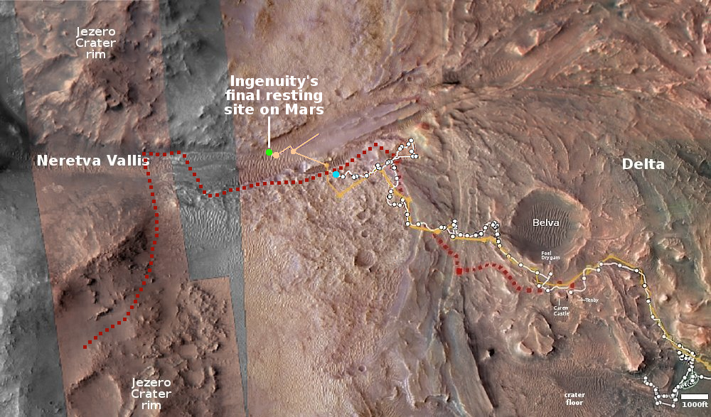
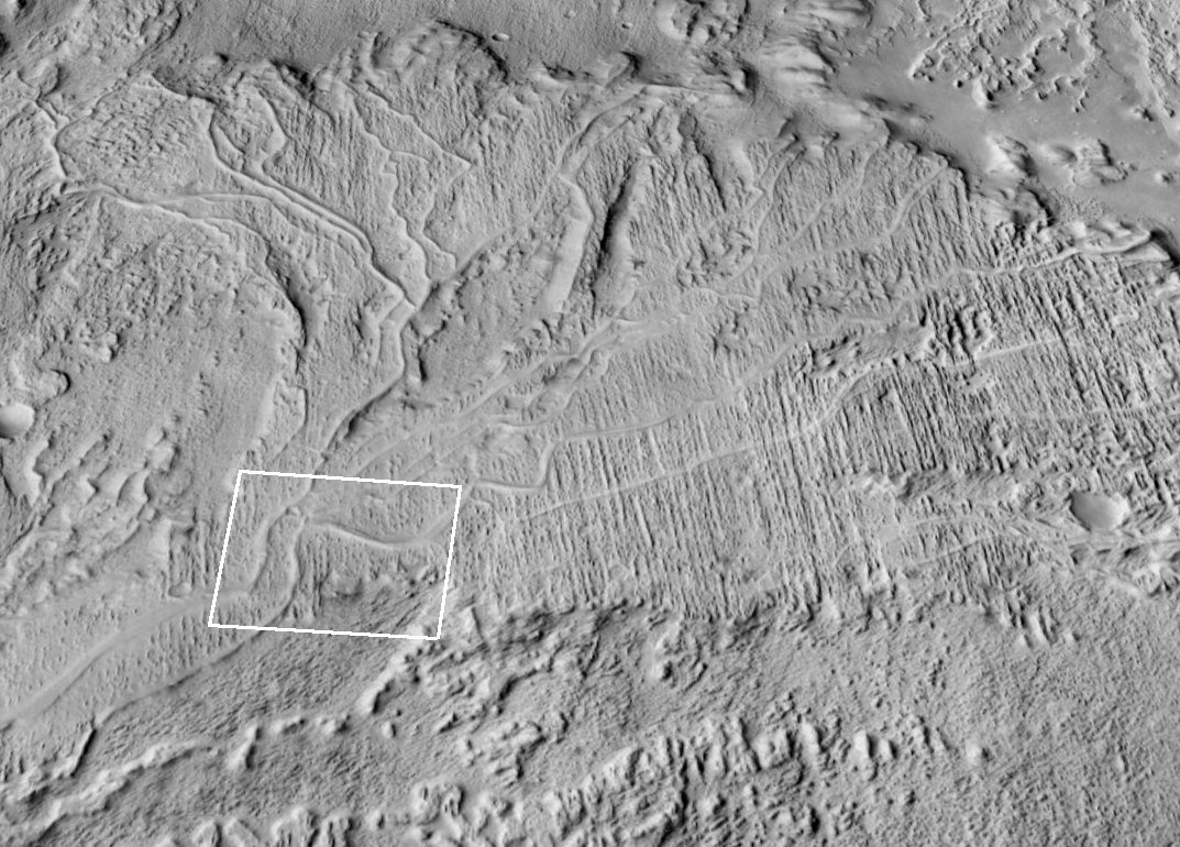
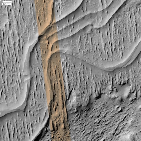
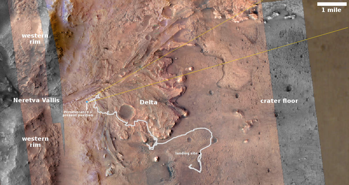
At the moment the rover is about a thousand feet to the east, though steadily working its way towards it.


