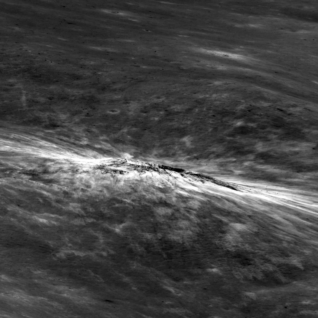
Scientist proposes aerobraking asteroids into Earth orbit

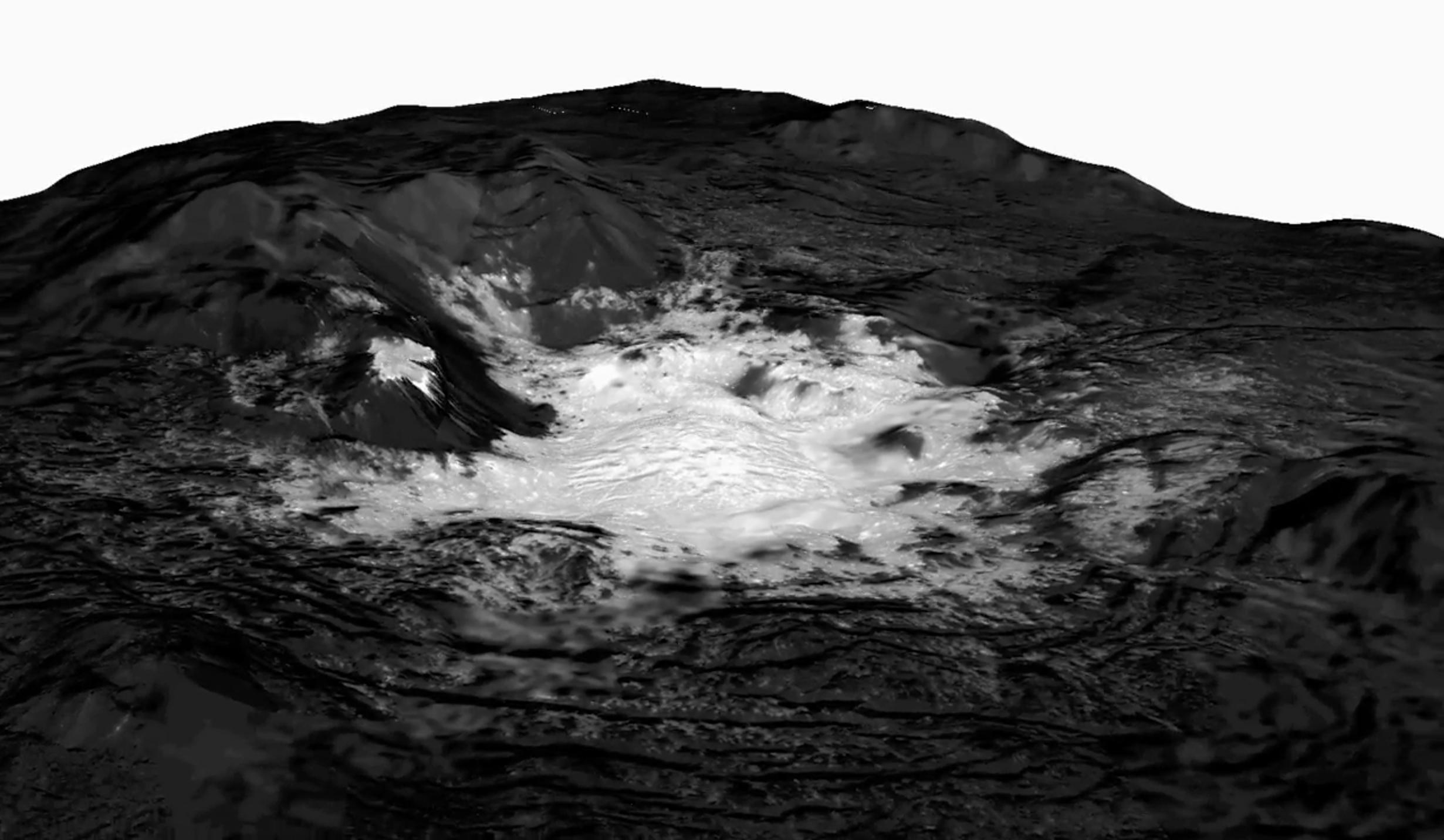
What could possibly go wrong? A scientist has proposed the use of the Earth’s atmosphere to aerobrake resource-rich asteroids into Earth orbit to make them easily available for mining.

In the new paper, Tan and colleagues propose using aerobraking to slow small asteroids enough that they don’t just shoot straight past Earth, but stay in orbit, where they could be mined for platinum or water. Those resources could then be taken to space stations to supply future missions or operations. Water, they write, could even be split into hydrogen and oxygen for fuel. All it would take is a precisely calculated push from an unmanned spacecraft, they report this month in Acta Astronautica.

And if the maneuver were done far enough from Earth—millions of kilometers, in most cases—it likely wouldn’t take much effort. That’s because a small push from far away would greatly change the angle of an incoming space rock’s path. Tan notes that each case would be different, depending on the trajectory of the target asteroid, and says that modifications might be necessary if the asteroid gets off track.

They propose doing this only with small asteroids, less than 100 feet in diameter.

I am sure my readers can outline the numerous problems with this proposal. From my perspective, the primary one is that it is almost impossible to predict the precise path of these kinds of asteroids. Their rotation and irregular shape combined with radiation pressure from the Sun tends to make their solar orbits somewhat chaotic and difficult to predict at the accuracy needed to safely nudge them into a close fly-by of the Earth.

New Horizons snaps first picture of Ultima

It isn’t much more than a tiny moving dot across a sea of stars, but on August 16, 2018 New Horizons was able to capture its first series of images of its January 1st fly-by target, the Kuiper belt object they have nicknamed Ultima Thule.

This first detection is important because the observations New Horizons makes of Ultima over the next four months will help the mission team refine the spacecraft’s course toward a closest approach to Ultima, at 12:33 a.m. EST on Jan. 1, 2019. That Ultima was where mission scientists expected it to be – in precisely the spot they predicted, using data gathered by the Hubble Space Telescope – indicates the team already has a good idea of Ultima’s orbit.

Ultima was 100 million miles away at the time.

The shift to smallsats by the U.S. military

Link here. The story focuses on the first planned constellation of smallsats, hopefully set for launch by 2021.

[DARPA] has mounted a program called Blackjack, which aims to loft a network of 20 prototype spy satellites to low Earth orbit (LEO) in 2021. These craft will be incredibly cheap compared to the current crop: The goal is get each satellite built and launched for about $6 million, said Thomas, the Blackjack program manager.

Blackjack aims to meet this ambitious cost target by leveraging developments in the private space sector. Several companies plan to establish huge constellations in LEO in the next few years, to deliver cost-effective internet service to people around the globe. SpaceX’s Starlink network, for example, will feature thousands of individual satellites.

Blackjack will integrate reconnaissance and communications payloads into standard commercial satellite bodies (known as buses) and take advantage of the high launch rate required to loft the mega-constellations, Thomas said. “The Blackjack approach assumes that we’re not going to be an anchor tenant. We’re not going to be driving these companies,” he said during the FISO presentation. “But we want to take advantage of that production line of spacecraft, the buses especially, that they’re going to be building. We want to take advantage of that launch and take advantage of all of those pieces.”

There’s a lot more at the link. If this first constellation works out, they will upgrade it to a constellation of 90 satellites. And it will based on buying the bulk of its product from the private sector instead of having the military build it. This will provide a wealth of business for smallsat manufacturers as well as smallsat rocket companies.

3D gun files still available to public despite judge’s ruling

Pushback: Despite a judge’s apparently unconstitutional ruling that banned the free give-away of the plans for printing 3D guns, the company that is producing them has instead made them available for purchase, at any price the buyer designates.

The ruling was intensely shaky and a jab to both the First and Second Amendment, so naturally Democrats were aroused.

But their celebration was premature.

Defense Distributed founder Cody Wilson crushed their short-lived happiness during a Tuesday press conference where he revealed that he actually won’t be stopped from sharing technical data; he will simply sell the files via his website, defcad.com. (Yes, he can do this.) “This judge’s order, stopping us from simply giving things away, was only an authorization that we could sell it, that we could mail it, that we could email it, that we could provide it by secure transfer. I will be doing all of those things, now,” announced Wilson.

“A lot of this to me was about principle,” he continued. “For many years, I just chose not to sell these files, because I’m an open-source activist. I believed in demonstrating that there was a right to commit this information to the public domain.”

“But, this is my opportunity to correct the media all in one place. To read headline after headline about how you can no longer 3D-print a gun, you can no longer have these files, this is not true. This has never been true. I now have to demonstrate this to you, forcefully, to deliver the point.”

There is no set price for the material; patrons are asked to give whatever they’d like in exchange. Wilson said the money would be used for further legal fees.

The judge’s ruling was completely bogus, especially since the Trump Justice Department had already settled the suit that the Obama Justice Department had brought. Moreover, since when can a judge ban the publication of any information the U.S.? His ruling appears to violate the First Amendment, and possibly the Second Amendment as well.

The search for Mars Polar Lander

A small section where Polar Lander might have crashed

In December 1999 the U.S. lander Mars Polar Lander was to set down near the southern polar cap of Mars. After an almost routine eleven month journey to Mars, all efforts to contact the spacecraft after its landing failed. A NASA review eventually concluded that the spacecraft had prematurely shut down its landing engines while the spacecraft was still far above the surface, and had therefore crashed to the ground.

Since then there have been extensive efforts to locate the lander’s remains on the surface, all to no avail. Though Mars Global Surveyor, in orbit at the time, tried to find it, its resolution was not sufficient. In recent years Mars Reconnaissance Orbiter (MRO) has taken several dozen high resolution images of the estimated landing area, two of the most recent were included in the August 2018 image release. The image on the right is a cropped section of one of those images, illustrating the difficulty of the search. (If you click on the image you can explore the full version.) The other image is quite similar.

As the southern polar cap shrinks and grows seasonally, it produces endless numbers of black spots from the release of underground dust as the carbon dioxide dry ice sublimates into gas. Moreover, the growth and retreat of the dry ice cap changes the landscape, periodically covering any remains of the rover as well as quickly removing many of the ground disturbances that the crash might have caused. In the almost two decades since the lander’s crash landing, about ten Martian years have passed, meaning that cap has melted and frozen ten times over this region in that time.

Images taken by MRO of Mars Polar Lander landing area

The image on the right shows the footprint of all the images that MRO has so far taken of the Mars Polar Lander landing area. If you are ambitious and want to get your name in the news, all you have to do is spend some time combing through those images and find the lander there. Every one of these images is available for public download at full resolution. Go to HiRise image archive, hover your mouse over latitude 77 degrees south, longitude 166 degrees east, and click several times to zoom in. You then change the selector icon at the top from “+” to “the arrow”. When next you click on any portion of that footprint it will show you a bunch of the images taken, all of which you can now download and inspect.

If you are successful and find the lander, please let me know. It would be nice to make that announcement here on Behind the Black.

Arecibo gets upgrade, new funding

Back from the dead: Threatened with closure only last year due to lack of funds, then damaged badly from Hurricane Maria, the Arecibo radio telescope in Puerto Rico has not only obtained a new operational funding from a new partner but also a $6 million upgrade.

The money will help design and build a super-sensitive set of antennas to be installed at the focal point of Arecibo’s dish. The 166 antennas, together part of the phased-array feed to be installed in 2022, are expected to significantly increase Arecibo’s capabilities. The phased-array feed will boost the telescope’s sky survey speed, making it five to six times faster than it is now, and it’ll enable the telescope to look at a larger piece of sky at one time.

…This month’s announced upgrade comes after years of uncertainty about Arecibo’s operations. In September 2017 Hurricane Maria caused about $14 million in damage to the telescope and ancillary buildings, some of which is still being repaired today. The facility lost its 430-megahertz line feed, which was used for atmospheric studies. Pieces of the antenna fell and punctured panels in the primary reflector of the main dish, forcing the replacement of 80–90 of the panels. There was also significant flooding under the primary reflector, which damaged some of the lines and heating facilities. In addition, several pieces of electronic equipment, some imagers, and laser rangers were damaged. Three buildings — a maintenance facility, a heater/transmitter building and a family unit — were also partially or completely destroyed due to rock and tree debris.

The hurricane was only the latest challenge for the observatory, after Arecibo had fought off repeated threats of closure over the previous decade due to NSF funding concerns. The latest situation was resolved last February, when a consortium led by the University of Central Florida took over operation and management of the observatory, significantly lessening the burden on NSF.

While Arecibo is no longer the world’s largest single radio dish, having been topped by China’s FAST radio telescope, it appears at least for now better positioned to do research. China does not yet have the radio astronomers experienced enough to operate its telescope, and so FAST at present is significantly under-utilized.

Hayabusa-1 sample pins down age of asteroid

Using particles gathered by Hayabusa-1 Japanese scientists have determined the age of the asteroid Itokawa.

Japanese scientists, including those from Osaka University, closely examined particles collected from the asteroid Itokawa by the spacecraft Hayabusa, finding that the parent body of Itokawa was formed about 4.6 billion years ago when the solar system was born and that it was destroyed by a collision with another asteroid about 1.5 billion years ago.

These results are only the beginning. As more samples return from more asteroids, scientists will start to add details to the overall history of the formation and evolution of the solar system, adding significant depth to the rough outline they presently have. And these new samples are already on the way, with both Hayabusa-2 and OSIRIS-REx approaching their target asteroids.

Inexplicable high latitude Martian terrain

Inexplicable high southern latitude Martian terrain

Strange image time! The image on the right, reduced in resolution to post here, comes from the August 1, 2018 image release from the high resolution camera on Mars Reconnaissance Orbiter (MRO). (If you click on the image you can see the full resolution version.) I have not cropped this image at all, so that you can see all of its swirling terrain.

This image did not come with a caption. The image site merely describes this terrain as having an “interesting morphology.” The location, in the very high southern latitudes (78 degrees south) just outside the southern rim of a very large crater, provides a slight explanation, as the growth and retreat of the Martian carbon dioxide polar caps is known to create very strange landforms. These swirling flows are obviously an example of one such landform.

The crater rim is just off of the top of the image and parallel with it. Therefore, the apparent erosional flows going around the hills and mesas are running parallel to the rim, not down from it. The black specks scattered about are probably points where dust was released as the carbon dioxide turned from ice to gas, a process that at the high latitudes on Mars often causes what planetary scientists call “spiders.”

I will not even try to make a guess at the process that formed what we see here. The image itself was taken on June 16, 2018 as part of a seasonal monitoring effort, which means scientists expect there to be changes occurring here from year to year as the polar cap shrinks and grown. An almost identical image had been taken two years ago, on December 18, 2016, and shows almost no black specks, probably because of the different time in the Martian year. A much closer comparison of both high resolution images would be necessary to tease out any more subtle changes.

EXOS completes successful test flight of reusable suborbital rocket

Capitalism in space: EXOS Aerospace yesterday completed a successful test flight of its reusable suborbital rocket, SARGE, at Spaceport America in New Mexico.

The company’s first Suborbital Autonomous Rocket with GuidancE, or SARGE, rocket lifted off from Spaceport America in New Mexico at approximately 2:15 p.m. Eastern. After reaching an unspecified peak altitude, the rocket descended under parachute, landing about 15 minutes later a short distance from the pad. The rocket’s nose cone, descending under a ballute, landed several minutes earlier.

The company didn’t immediately disclose technical details about the flight, such as the peak altitude, but in a live webcast of the launch appeared to be satisfied with the vehicle’s performance, despite the vehicle appearing to veer from its vertical trajectory briefly after liftoff.

“This was a very successful test for us,” said John Quinn, chief operating officer of Exos, on the webcast. “We’re very excited that we had all of our recovery systems operational.”

It sounds as if they were mostly testing the recovery systems that will allow the rocket and payload to land safely in a condition to fly again.

Trump administration cuts $200 million of Palestinian aid

The Trump administration today announced an additional $200 million cut of Palestinian aid.

“At the direction of President Trump, we have undertaken a review of U.S. assistance to the Palestinian Authority and in the West Bank and Gaza to ensure these funds are spent in accordance with U.S. national interests and provide value to the U.S. taxpayer,” the department said. “As a result of that review, at the direction of the president, we will redirect more than $200 million … originally planned for programs in the West Bank and Gaza.”

“This decision takes into account the challenges the international community faces in providing assistance in Gaza, where Hamas control endangers the lives of Gaza’s citizens and degrades an already dire humanitarian and economic situation,” the notice said, without providing additional details.

As long as the terrorist leadership in Gaza and the West Bank refuse to accept the right of Israel to exist, they simply do not deserve any American aid. This is a reasonable position, and it is also one that follows laws that Congress itself has passed.

The corruption centered on Mueller and Comey

President Trump might have his ethical issues, but at this point the questions surrounding him don’t hold a candle to the corruption revealed in two stories in the past two days about former FBI director James Comey and Special Council Robert Mueller.

The first story describes in enormous detail the flat-out whitewash that Comey and the FBI did in its investigation of the classified Clinton emails that had been found on an unclassified laptop owned by former Democratic congressman and convicted child molester Anthony Weiner. That whitewash included outright lies by Comey before Comgress.
» Read more

Los Angeles leftist groups call for “violence against the enemies of the people.”

They’re coming for you next: Los Angeles antifa leftist groups are now publicly calling for “violence against the enemies of the people” including “militant escalations [in the] defense of their undocumented working-class immigrant communities by any means necessary.”

The article describes a recent demonstration by these groups, describing how they threatened the police as well as innocent bystanders who happened to pass by.

Note also where the loyalties of these fascists lie. They scream support only for illegal immigrants, and are hostile to all Americans, both legal immigrants and native born. This illustrates that they real interest is the destruction of the United States and the idea of freedom for which it stands, not the illegal immigrants they are using as a pawn in this campaign.

If you live in California be aware that you likely no longer have the freedoms of an American. These jackbooted thugs, masked like the KKK, will soon be coming after you if you dare dissent from their agenda. And the Democratic Party government in charge there will likely allow them to get away with whatever violence they do.

Volcanic rills and lava tubes on Mars

Rills and lava tubes on Pavonis Mons

Cool image time! The image on the right, cropped somewhat to show here, was taken by Mars Odyssey of the southwestern slope of Pavonis Mons, the middle volcano of the line of three giant volcanoes located between the biggest volcano in the solar system, Olympus Mons, and the biggest canyon in the solar system, Marineris Valles. The slope goes down to the south, from the top to the bottom of the image. As noted on the image page,

The channel and nearby oval depressions are both related to the flow of lava. Narrow lava flows can create channels. The cooling of the top of the channel will form a roof over the flow, creating a tube beneath the surface. After the lava stops flowing the tube can empty, leaving a subsurface void. The roof will then collapse into the void forming the oval surface features.

I have added arrows to the image to draw your eye to the features that extend south in line with those oval depressions, eventually widening out to resemble a river delta, with the obvious rill probably indicating the lowest point in that delta.

Though the oval depressions are likely sections of a lava tube that collapsed, the features in line with those depressions suggest that the tube itself might still exist below the surface to the south, feeding into that delta where the rill meanders. It is also possible that my desire to find underground voids here, where glacier ice might possibly exist, might be skewing my conclusion. It could also be that the lava tube ended at these depressions, and what the features indicate is a wide surface flow, later embellished by the smaller flow of the meandering rill.

China reveals landing site for Chang’e-5 lunar sample return mission

The new colonial movement: In a recent paper Chinese scientists revealed their landing plans for the Chang’e-5 lunar sample return mission, presently scheduled for at 2019 launch.

If all goes according to plan, the robotic Chang’e 5 will land in the Rümker region, which lies within a huge basaltic lunar plain called Oceanus Procellarum (Latin for “Ocean of Storms”).

A recent paper lays out the scientific significance of this site, and what Chang’e 5 may be able to find there. “Recent studies find that the geological features and volcanic history of the moon are far more complex than previously thought, and many of the most interesting areas have been neither explored nor sampled,” states the study, which was led by Yuqi Qian of the School of Earth Sciences at the China University of Geosciences in Wuhan. “One such area is the northern Oceanus Procellarum region, which consists of very young (<2 Ga) [less than 2 billion years old] mare materials and hosts one of the largest volcanic complexes on the moon (Mons Rümker)."
For the study, the research team conducted a detailed geological mapping of the Rümker region using imagery, spectral and altimetry data.

Chang’e-5 should not be confused with Chang’e-4, which is set to launch in the fall to land on the Moon’s far side.

The choice of the volcanic region around the Ocean of Storms is significant, as it indicates that, for at least this mission, China is not focused on the possibly more valuable polar regions where water-ice might be present for future lunar bases. Instead, they are giving a priority to science and geology with this probe. They likely also picked this site because it is near the equator and therefore a bit easier to reach on this first daring sample return mission.

It does appear however that China is taking the long view. The landing choice here suggests to me that they plan many more missions to the Moon, and do not see anyone else in a position to compete with them for territory. The U.S., Russia, and Europe appear to be throwing their eggs into the basket of (F)LOP-G, which will merely orbit the Moon and eat up resources preventing these countries from planning and building any landing missions, for decades. India meanwhile might be a competitor, but at the moment it is far behind.

Hayabusa-2 science team lay out Ryugu landing schedule

At a press conference yesterday the Hayabusa-2 science team laid out their landing schedule for the spacecraft and its three tiny landers.

The first lander will be one of its two tiny MINERVA-II probes, and will take place in September. This will be followed by the German/French MASCOT probe in early October, followed in turn in late October by Hayabusa-2 itself.

The landings of the first two probes will help them pick Hayabusa-2’s landing site, as well as the site for last MINERVA lander.

Mission planners faced tough choices because the body almost uniformly strewn with boulders. “Ryugu is beautiful, but challenging,” said Aurélie Moussi, a collaborator from the French space agency CNES in Toulouse, at a press conference in Sagamihara, Japan, on 23 August.

…To minimize risks for MASCOT, mission planners mapped the topography of Ryugu and the distribution and size of the boulders on its surface. They ran computer simulations to produce a shortlist of ten options, and then picked one spot on the asteroid’s southern hemisphere. The choice reflected a number of criteria, including average temperatures on the ground and the materials that MASCOT will analyse with its four on-board instruments. “The other sites would have been just as good, or just as difficult,” says MASCOT payload manager Stephan Ulamec of the German Aerospace Center in Cologne. “Wherever we look, there is a lot of big boulders.”

It does appear that the boulder-strewn surface is posing a problem for the engineers.

Trump administration goes all in for LOP-G

The swamp wins! In a speech today Vice President Mike Pence made it clear that the Trump administration is giving its full endorsement to the construction of the Lunar Orbiting Platform-Gateway (LOP-G), as well as SLS and Orion. These big boondoggles, which will trap us in lunar orbit while the Chinese set up lunar bases and take possession of the surface and its resources, are going forward, with both the president’s support as well as Congress’s.

Providing further evidence that the Trump administration has bought into these projects, in his introduction of Pence NASA administrator Jim Bridenstine gave a big public endorsement to the executive secretary of the National Space Council, Scott Pace, a man who has been a big supporter of these projects of the bureaucracy. Pace believes we need these projects, despite the fact that they have been under construction for two decades, have cost an ungodly amount, and have literally flown nowhere.

Pence also said that they intend to have the space force a reality by 2020, and also hinted that the Trump administration is making a careful review on the future of ISS.

Overall, the speech was a big endorsement for government space, in every way, with the private sector designed not to lead as free Americans following their personal dreams but to follow, servants of the desires of the government and its wishes.

If you want to listen to about 30 minutes of pro-government promotion, I expect it will be posted here at some point.

Swooping over a lunar cold spot

cold spot crater

Cool image time! The oblique image on the right, reduced and cropped to show here, was taken by Lunar Reconnaissance Orbiter (LRO) of an unnamed crater on the Moon’s far side. (Click on the image to see the full picture.) What makes the crater of particular interest is that it during the long 14-day-long lunar night the area around this young crater quickly cools to a temperature about 10 degrees Fahrenheit colder than the surrounding terrain.

Einthoven cold spot crater, the subject of today’s Featured Image, is 1143 m wide, or about the size of Meteor Crater in Arizona. So far, it has no official name — we call it Einthoven cold spot crater because it is just south of Einthoven crater, which is old, degraded, and, at 69 kilometers in diameter, the largest crater in the neighborhood.

Though craters associated with cold spot anomalies are small, the cold spots themselves are often large. The Einthoven cold spot crater anomaly takes in 2070 square kilometers of terrain and extends up to 50 kilometers from the crater. That’s much too large an area for ejecta from the crater to cover, which eliminates the most obvious cold spot formation hypothesis: that material blasted from the crater during its formation could create the cold spot.

So, how to explain the cold spot anomalies? Some researchers invoke a cascading series of tiny secondary impacts traveling outward from the crater-forming asteroid impact, while others believe that gas produced by the impact flows through the top layer of lunar surface material. Either process might “fluff up” the surface, changing the way heat affects it. Few researchers, however, find these explanations to be 100% convincing.

Though the abstract of one science paper proposes using these cold spots as an easy way to quickly identify young lunar craters, the actual cold area of this particular crater does not correspond perfectly to the crater itself. The temperature map at the link shows that the colder region is not even centered on the crater, and has a very irregular shape. Using these mysteriously cold regions on the Moon to identify young impacts I think will be difficult and will have a very large margin of error.

NASA considering purchase of communications services

Capitalism in space: Rather than build its own communications satellites, as it has done in the past, NASA is now considering purchasing these services from private communications satellite companies.

NASA had been studying a next-generation communications system that would ultimately replace the current generation of Tracking and Data Relay Satellite (TDRS) spacecraft in Earth orbit, as well as support missions beyond Earth orbit. That included the possibility of partnerships with the private sector.

“Past networks have been expensive to operate and maintain because they were designed to only serve government customers, which has limited their ability to leverage commercial partnerships,” the agency said in its fiscal year 2019 budget proposal released in February. “The next generation project will engage with commercial industry through mechanisms such as services contracts, hosted payloads, and other public-private-partnerships to allow multiple commercial entities to partner with the Government in order to significantly reduce and eventually eliminate reliance on NASA or NASA contractor run ground systems.”

In a paper presented last year by several NASA officials at the International Astronautical Congress in Adelaide, Australia, the agency said working with both commercial and international partners would be among the elements of its next-generation architecture. “Using open, commercial, and international standards will enable the use of commercial services by specifying required performance and interfaces without specifying provider-specific capabilities,” the paper stated. “Commercial entities will compete based on price, quality, timeliness, support and other factors that maintain a competitive environment.”

That desire to work with the commercial sector, along with harnessing new technologies like optical communications, was a reason cited by NASA a year ago for not exercising an option for an additional TDRS satellite under a contract NASA awarded to Boeing in 2007. The last satellite built under that contract, TDRS-M, launched in August 2017.

Using commercial communications satellites makes perfect sense. It will be faster, provide more redundancy, and will save the taxpayer a lot of money.

Arianespace’s Vega launches European satellite to study the Earth’s winds

Arianespace’s Vega rocket has successfully launched a European satellite dubbed Aeolus designed to study the Earth’s winds.

Funded by the European Space Agency and built by Airbus Defense and Space, the 480 million euro ($550 million) Aeolus mission is nearly two decades in the making. Since receiving ESA’s formal go-ahead in 2002, Aeolus has suffered numerous delays as engineers encountered problems with the mission’s laser instrument.

Aeolus will gather the first comprehensive worldwide measurements of wind speed — over oceans and land masses — from Earth’s surface to an altitude of nearly 100,000 feet (30 kilometers).

Data collected by the Aeolus satellite will be fed into numerical weather prediction models, replacing simulated “boundary conditions” in the computers models with near real-time measurements from space.

The updated leader board for the 2018 launch standings:

22 China
15 SpaceX
8 Russia
6 ULA
5 Arianespace

In the national race, the U.S. and China remained tied at 22.

Oblique mosiac of bright spot on Ceres

Cerealia Facula on Ceres

Cool image time! With the Dawn spacecraft now swooping with 22 miles of the surface of Ceres every 27 hours, the science team has assembled a spectacular oblique image of Cerealia Facula, one of the dwarf planet’s bright spots thought to be brine deposits that at some point erupted up from below the surface.

The image on the right, reduced in resolution to show here, shows that mosaic. If you click on the image you can see the full resolution version. From the image webpage:

This mosaic of Cerealia Facula combines images obtained from altitudes as low as 22 miles (35 km) above Ceres’ surface. The mosaic is overlain on a topography model based on images obtained during Dawn’s low altitude mapping orbit (240 miles or 385 km altitude). No vertical exaggeration was applied.

There are a lot of intriguing details in the full resolution image. I have highlighted one feature, indicated by the white box and shown in full resolution below.
» Read more

EXOS to test fly reusable suborbital rocket in New Mexico

Capitalism in space: EXOS Aerospace has chosen Spaceport America in New Mexico as the location where it will test fly its reusable suborbital rocket dubbed SARGE.

EXOS has completed the design, test and build; has received its FAA launch license and completed the final integration and test hovering for the rocket. A successful test flight is needed to solidify the company’s plans to use the technology as the basis for a planned reusable Orbital class vehicle, the company said in a pres release issued Tuesday.

“We are excited to enter into the testing phase of our SARGE platform at Spaceport America, and even more excited to reveal our plans for our Jaguar Reusable (first stage) LEO launcher,” EXOS COO John Quinn said in a prepared statement. “We look forward to enabling space research, manufacturing and educational opportunity for the world by providing frequent suborbital flights that provide fast and affordable access to space.”

Spaceport American CEO Dan Hicks said a successful test flight could lead to further testing and development at the spaceport.

EXOS is another one of the host of new smallsat rocket companies vying for expected large launch needs in the 2020s. For Spaceport America, a state-run spaceport that was built for Virgin Galactic and its hyped surge in space tourism that never happened and thus has seen practically no activity for the past decade, this announcement is helpful in its effort to attract other launch business.

1 2 3 4 7