Lava-draped terrain on Mars
Cool image time! Continuing this week’s series of lava-related images from Mars (previous posts here, here, and here), today’s post is ironically the first to actually show lava flows.
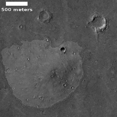
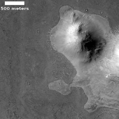
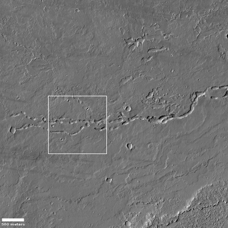
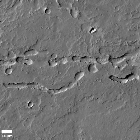
The two images to the right, reduced and cropped to post here, are sections taken from an uncaptioned picture, titled “Lava-Draped Surface in Cerberus Palus” and found in the most recent download from the high resolution camera on Mars Reconnaissance Orbiter (MRO).
It is obvious why the MRO scientists gave this image this title. The hills in both pictures clearly seem to stand up like islands in a surrounding sea of frozen lava. Older craters, created prior to the lava flow, are partly obscured by the lava flows, their interior floors filled and their rims broken as the lava flooded this region.
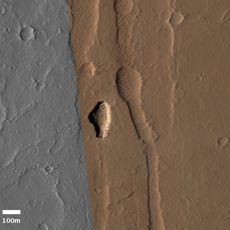
Nor are these the only high points captured in the image that this flood of lava inundated. If you look at the full image there is even a low mound where it appears the surrounding lava flood worked its way up the hill’s gently sloping flanks only to freeze just before it completely covered the top of the mound.
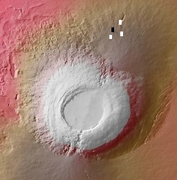
The location of this image, shown by the red box in the overview map below and to the right, gives us a hint where the lava came from, though the distances involved to the nearest giant volcano, Elysium Mons, are so large it is likely that this flow is not directly linked to that volcano.
» Read more

