
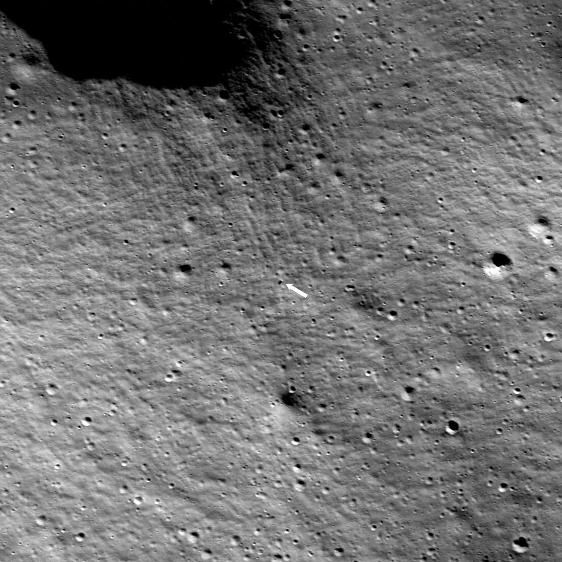
The strange surface of the perennial dry ice cap at Mars’ south pole
Click for original image.
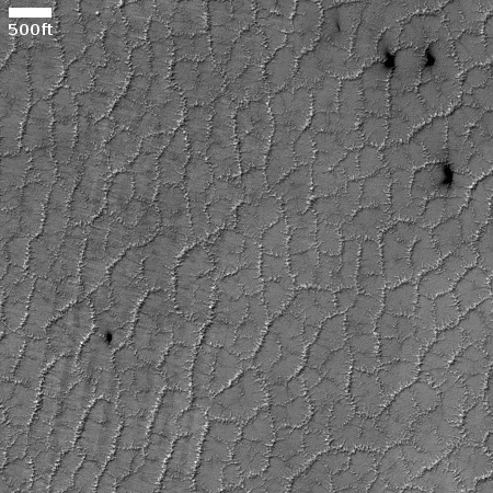
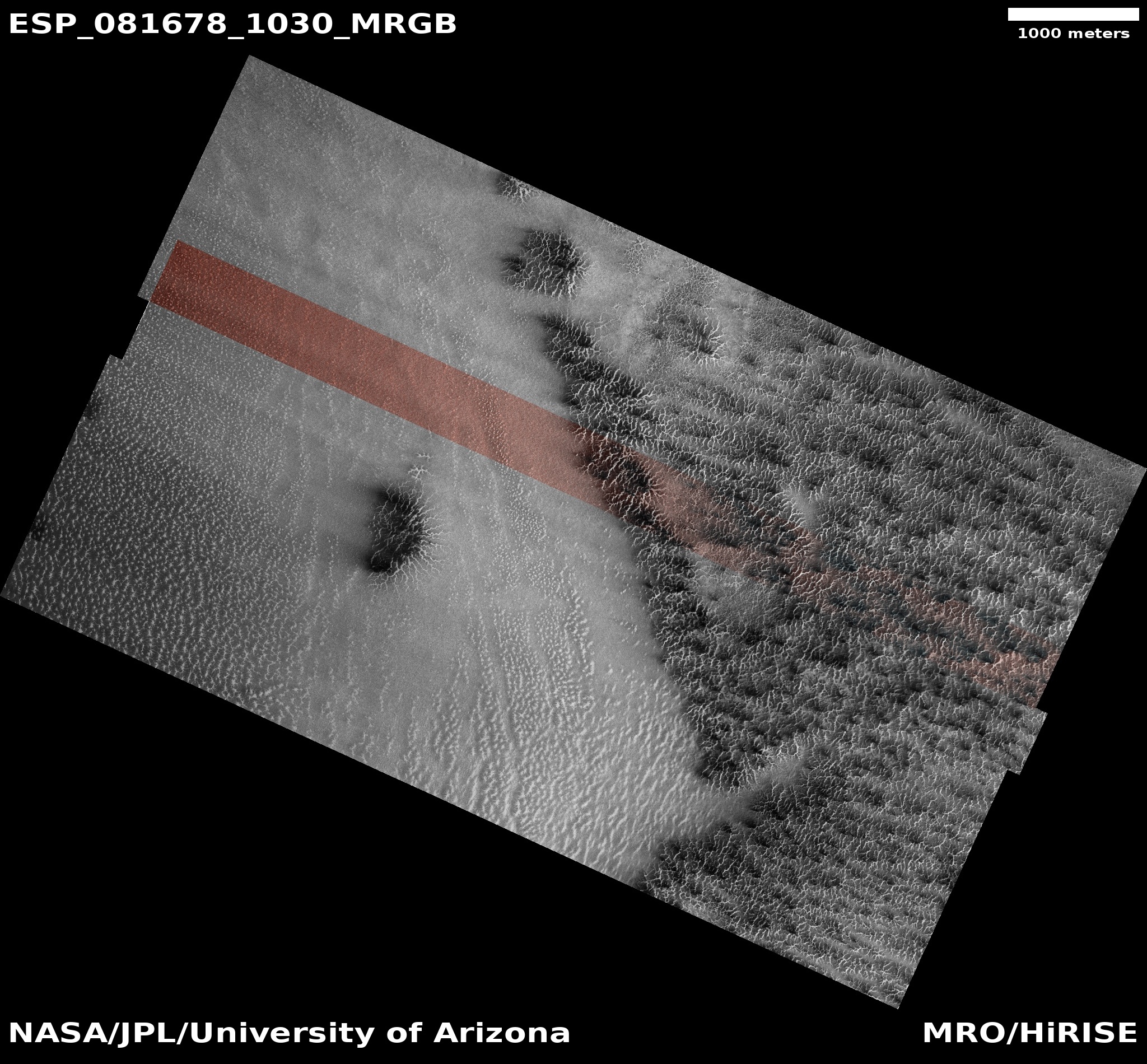
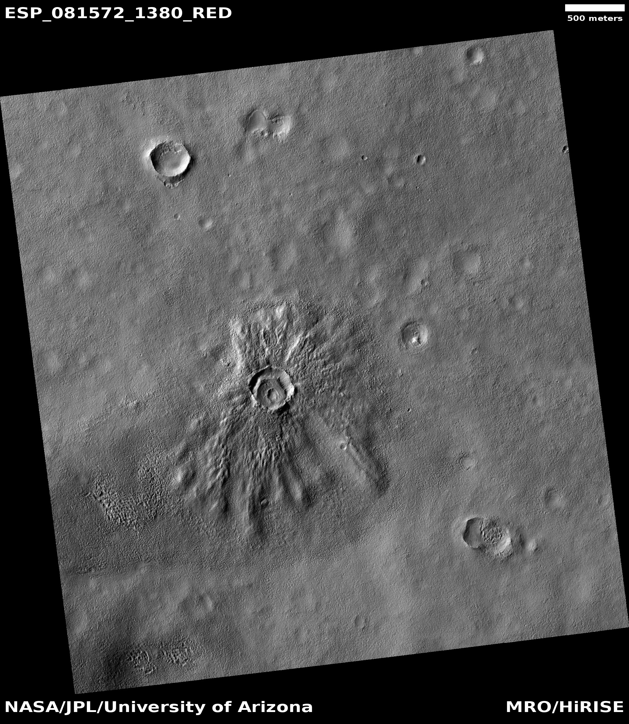
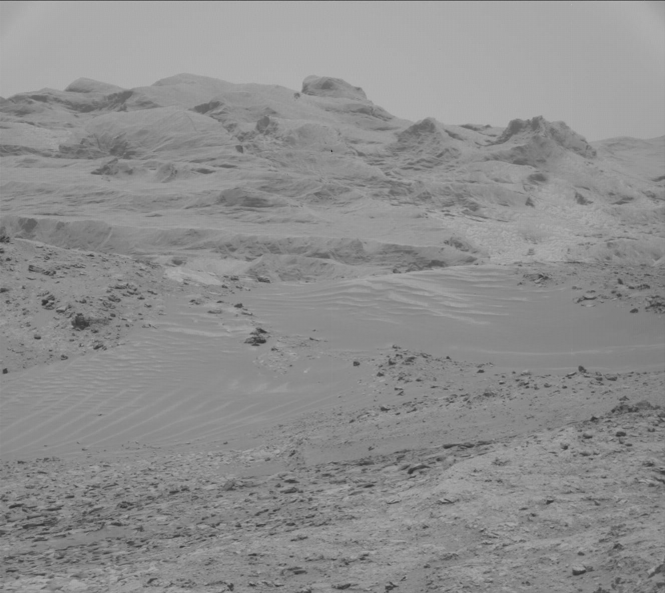
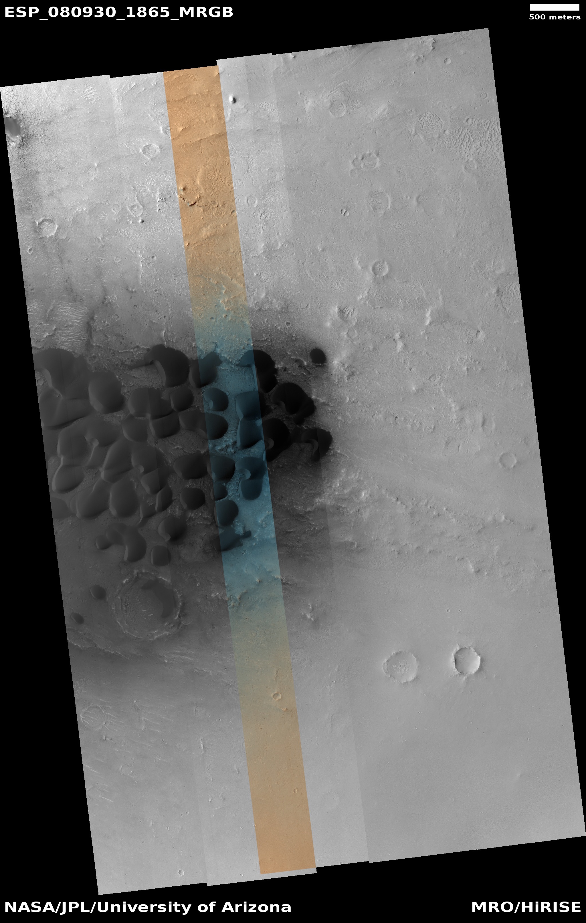
Cool image time! The picture to the right, cropped to post here, was taken on January 24, 2024 by the high resolution camera on Mars Reconnaissance Orbiter (MRO). It shows a region about 180 miles from the south pole of Mars.
This terrain is intriguing because is the pattern of ridges that cover it entirely. I have simply cropped the original image to show these ridges in highest resolution. The full image shows them covering a region much larger than this.
What are we looking at? Because it is near the pole, it is likely that the black splotches are caused by carbon dioxide gas breaking through the winter mantle of dry ice that covers the poles during the winter months and then sublimates away, from the bottom, each spring. As the dry ice turns to CO2 gas that gas is trapped, until it can find a weak spot in the overlying mantle. When the pressure builds enough, the mantle breaks, the gas escapes, and as it does so it deposits the dark dust around the breakage. That dust fades as the mantle disappears.
Sounds good, eh? Not so fast.
» Read more

Click for original image.
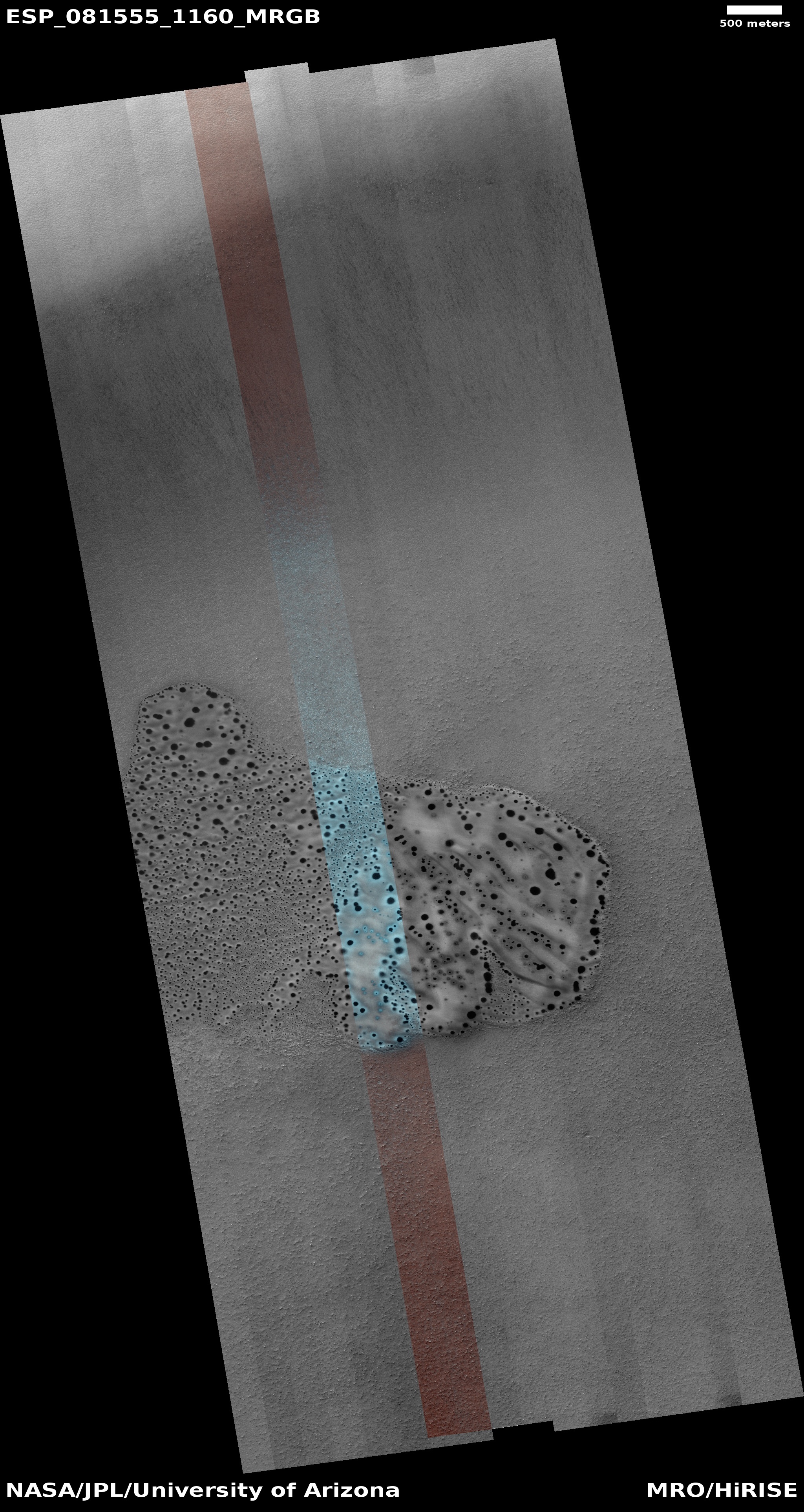
Cool image time! The picture to the right, cropped to post here, was taken on January 24, 2024 by the high resolution camera on Mars Reconnaissance Orbiter (MRO). It shows a region about 180 miles from the south pole of Mars.
This terrain is intriguing because is the pattern of ridges that cover it entirely. I have simply cropped the original image to show these ridges in highest resolution. The full image shows them covering a region much larger than this.
What are we looking at? Because it is near the pole, it is likely that the black splotches are caused by carbon dioxide gas breaking through the winter mantle of dry ice that covers the poles during the winter months and then sublimates away, from the bottom, each spring. As the dry ice turns to CO2 gas that gas is trapped, until it can find a weak spot in the overlying mantle. When the pressure builds enough, the mantle breaks, the gas escapes, and as it does so it deposits the dark dust around the breakage. That dust fades as the mantle disappears.
Sounds good, eh? Not so fast.
» Read more


