
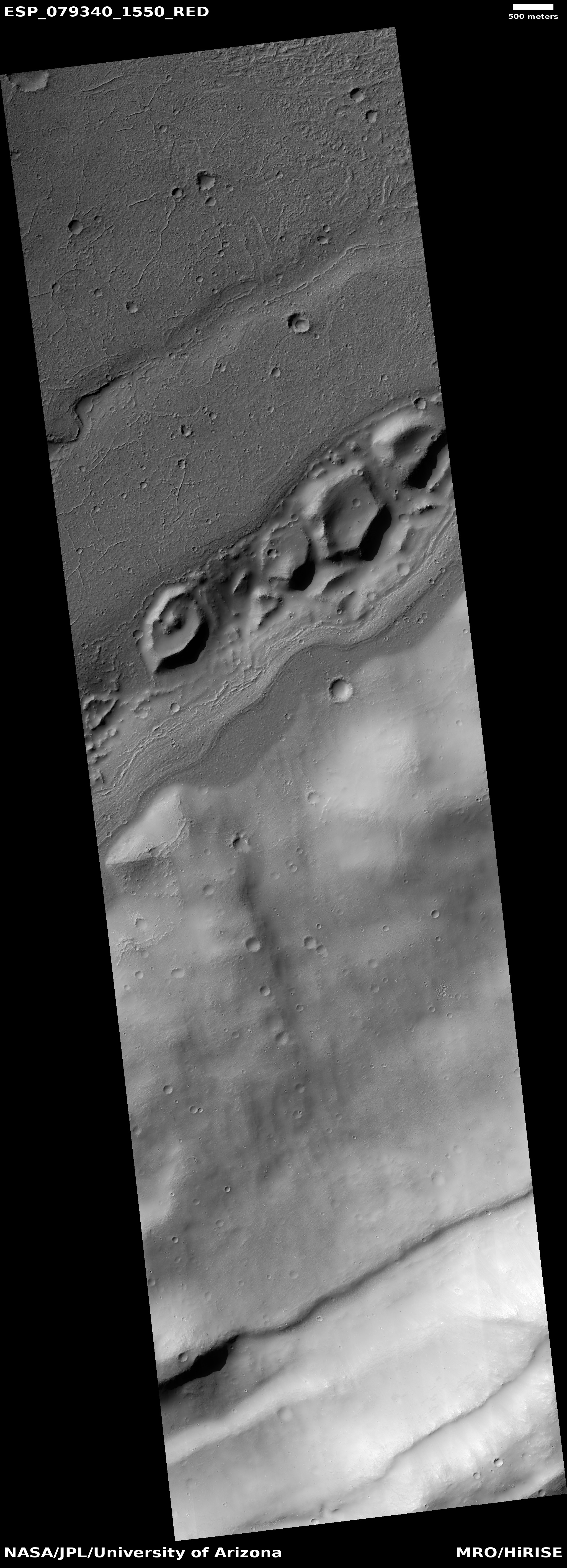
The base of the long and deep south rim of Valles Marineris
Click for original image.
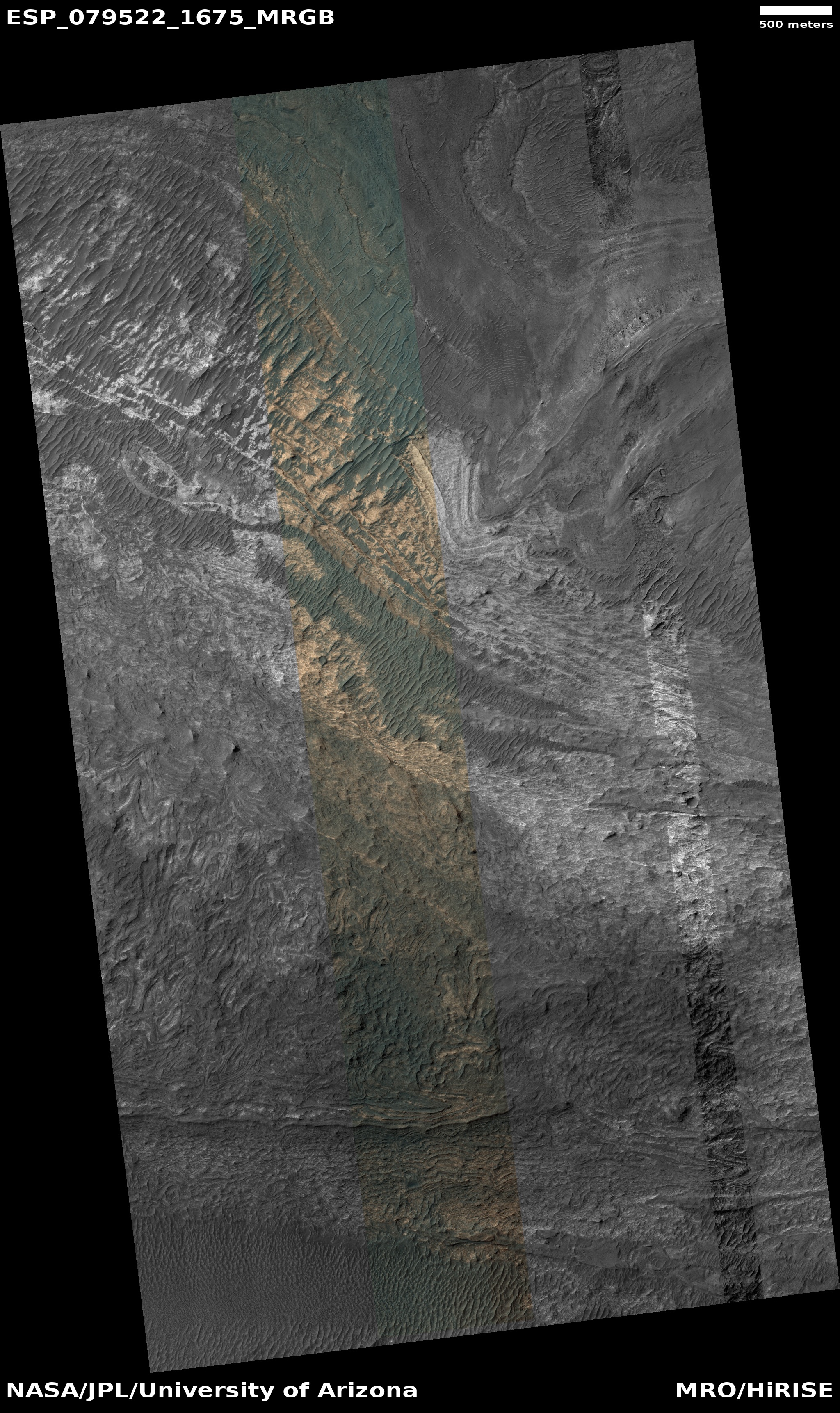
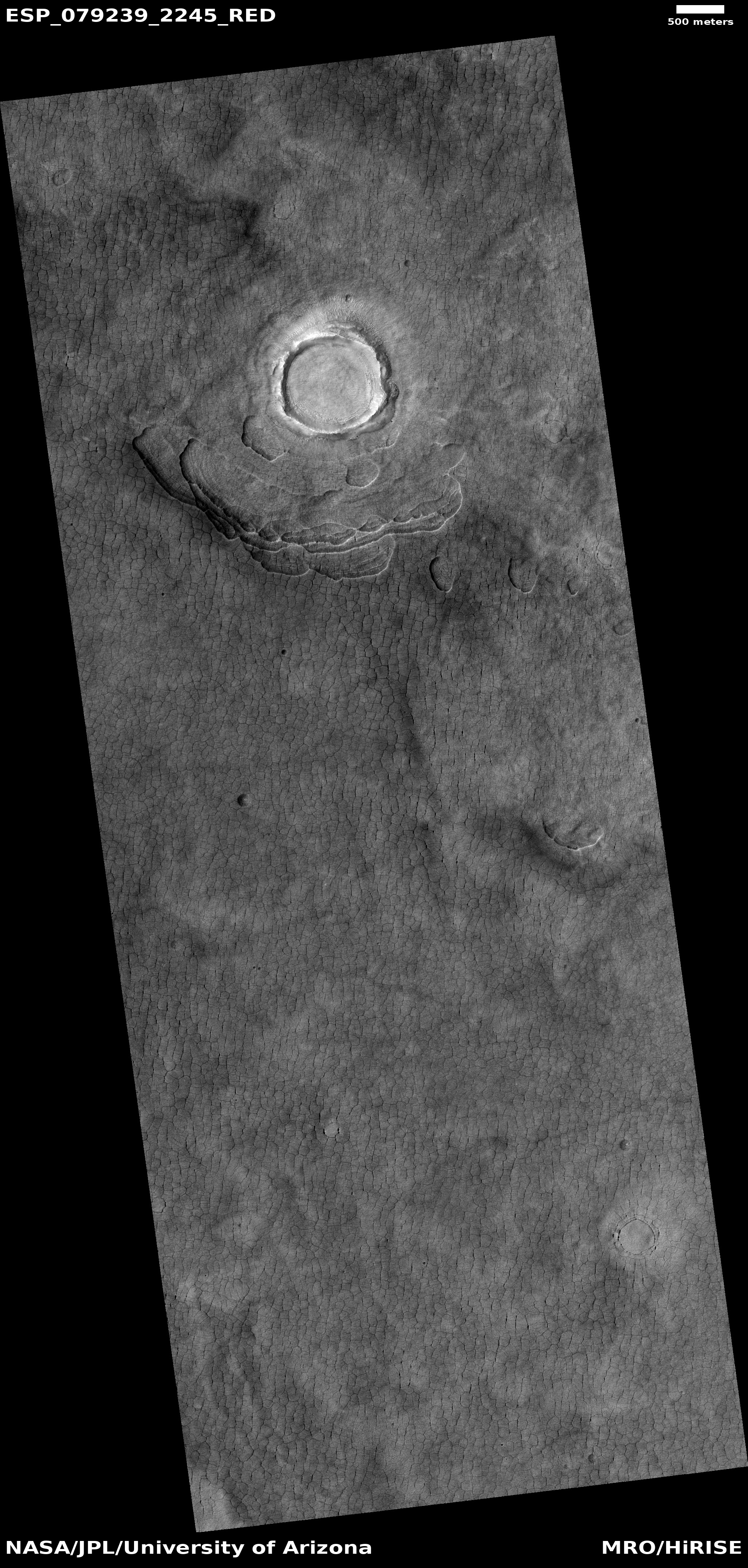
Cool image time! The picture to the right, rotated, cropped, reduced, and sharpened to post here, was taken on July 14, 2023 by the high resolution camera on Mars Reconnaissance Orbiter (MRO), showing the very bottom section of the long and endlessly deep south slopes of Valles Marineris, the largest known canyon in the solar system.
The many layers here are likely evidence of repeated volcanic flood lava events, over several billion years, after which the canyon formed.
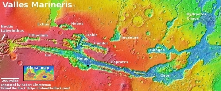
On the overview map above the black dot in the southeast section of the area of the canyon dubbed Melas marks this location. The picture’s northeast corner is essentially the floor of Valles Marineris. From this point the elevation gain to the southwest corner of the picture 3.5 miles away is about 3,300 feet.
The rim itself however is far far higher, about fifty miles farther to the southwest and climbing about 22,000 feet more. Along those fifty miles you’d have to also climb over two intervening mountain ranges, one about 4,000 feet high and the second about 6,000 feet high.
Valles Marineris is big, so big it is hard to imagine a canyon this size. It makes many moutain ranges on Earth seem small.


