
Scientists believe they have found evidence of largest carbon molecules yet in Curiosity drill sample
The uncertainty of science: Scientists analyzing material drilled out by the Mars rover Curiosity back in 2013 now believe the sample included the largest carbon molecules yet found on Mars.
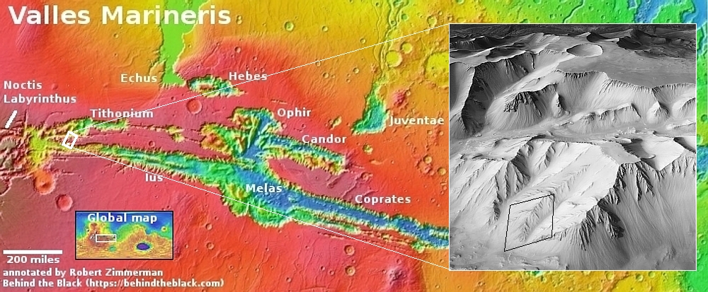
The detection of these long and large carbon molecules was based not on actual Martian data, taken at a site dubbed Cumberland on the floor of Gale Crater, but on follow-up lab work on Earth.
The recent organic compounds discovery was a side effect of an unrelated experiment to probe Cumberland for signs of amino acids, which are the building blocks of proteins. After heating the sample twice in [the Curiosity] SAM’s oven and then measuring the mass of the molecules released, the team saw no evidence of amino acids. But they noticed that the sample released small amounts of decane, undecane, and dodecane [thought to be fragments of fatty acids].
Because these compounds could have broken off from larger molecules during heating, scientists worked backward to figure out what structures they may have come from. They hypothesized these molecules were remnants of the fatty acids undecanoic acid, dodecanoic acid, and tridecanoic acid, respectively.
The scientists tested their prediction in the lab, mixing undecanoic acid into a Mars-like clay and conducting a SAM-like experiment. After being heated, the undecanoic acid released decane, as predicted. The researchers then referenced experiments already published by other scientists to show that the undecane could have broken off from dodecanoic acid and dodecane from tridecanoic acid.
Based on this Earth lab work, the scientists now suggest that Mars could also have these much longer carbon molecules that are associated with biological processes.
Very intriguing, but we must exercise caution. Curiosity did not detect such molecules, only evidence that they might exist on Mars. And even if they do exist on Mars, this is not evidence that Mars has or once had biological life. While such large molecules on Earth are usually associated with biological processes, they do not have to be, as the scientists readily admit in their abstract. Furthermore, in the alien environment of Mars there could be many non-biological processes we don’t even yet understand that could explain their existence.


