
Why this place in Valles Marineris is NOT a good place to establish trails and inns

Click for original image.
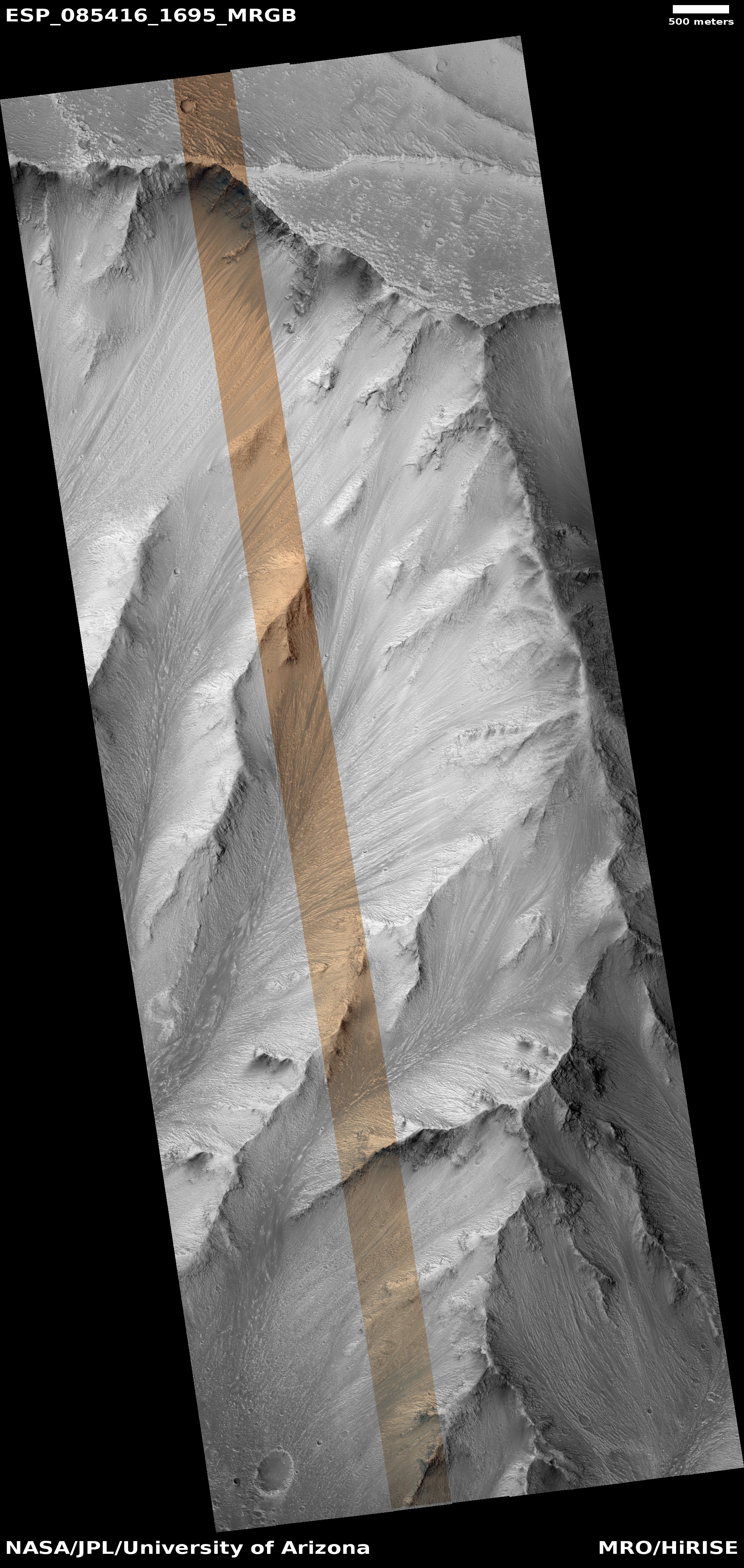
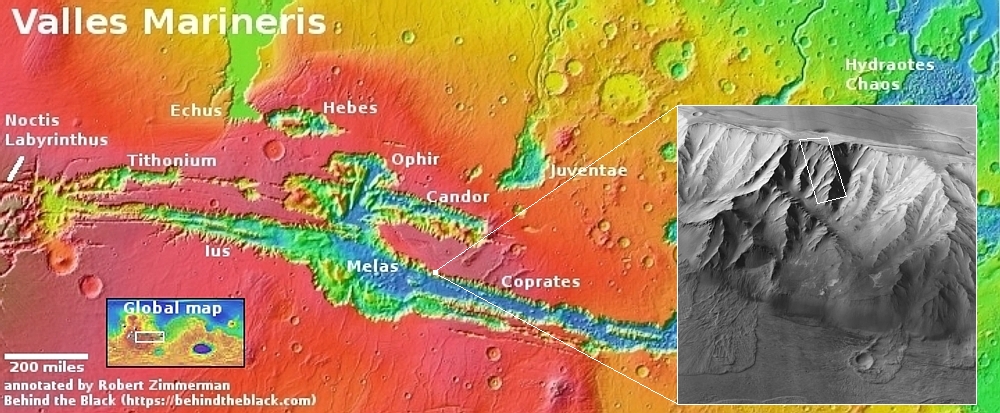
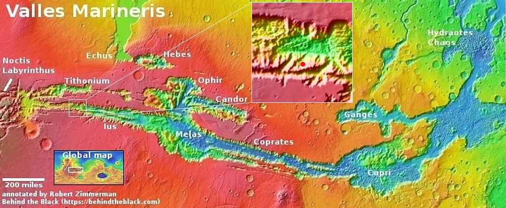
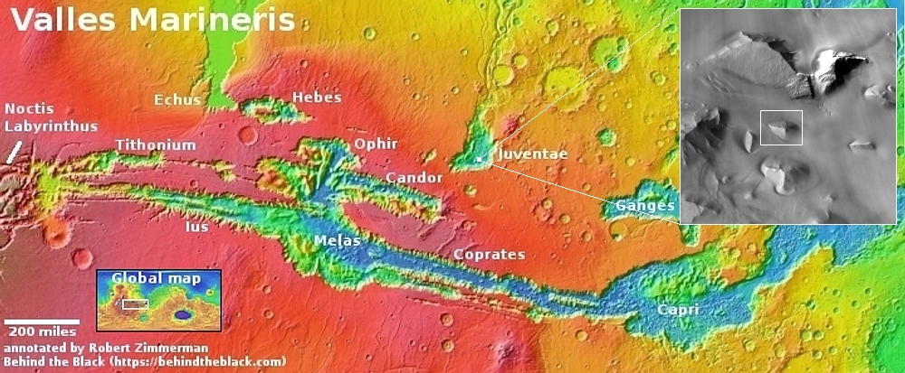
In my cool image yesterday I highlighted a location along the north rim of the gigantic Valles Marineris canyon on Mars that appeared a great place to establish a hiking trail. The trail would take hikers down from the rim to the floor of the canyon, a distance of more than 20 miles with an elevation loss of more than 31,000 feet, more than the height of Mount Everest. The image to the right shows the top of that trail, at the rim. The white dot on the overview map above shows its location in Valles Marineris.
Because of the trail’s length I also suggested that future colonists would likely set up inns along the way, so that hikers would have places to stay as they worked their way downhill day-by-day.
There is however one major reason not to build at this particular location, and it involves the most significant geological detail I noticed in the picture to the right. Note the arrows in both this image as well as the inset above. In the picture they mark a sudden drop paralleling the rim. In the inset they also show a series of parallel cracks further north.
The cliff and the cracks suggest that the entire cliff of this part of the north rim has subsided, and is in fact beginning to separate from the plateau, and will soon (in geological terms) collapse into a spectacular avalanche. If you look at the cliff face in the inset you can see two extended outflow piles that apparently came from smaller earlier such collapses.
Could this entire cliff face, the size of Mount Everest, actually separate and crash into the canyon? If you have doubts, then take a look at the image below.
» Read more


