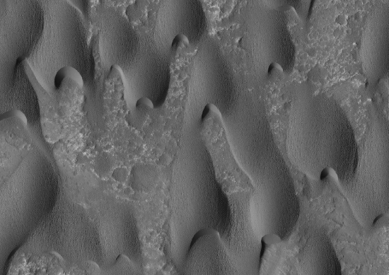
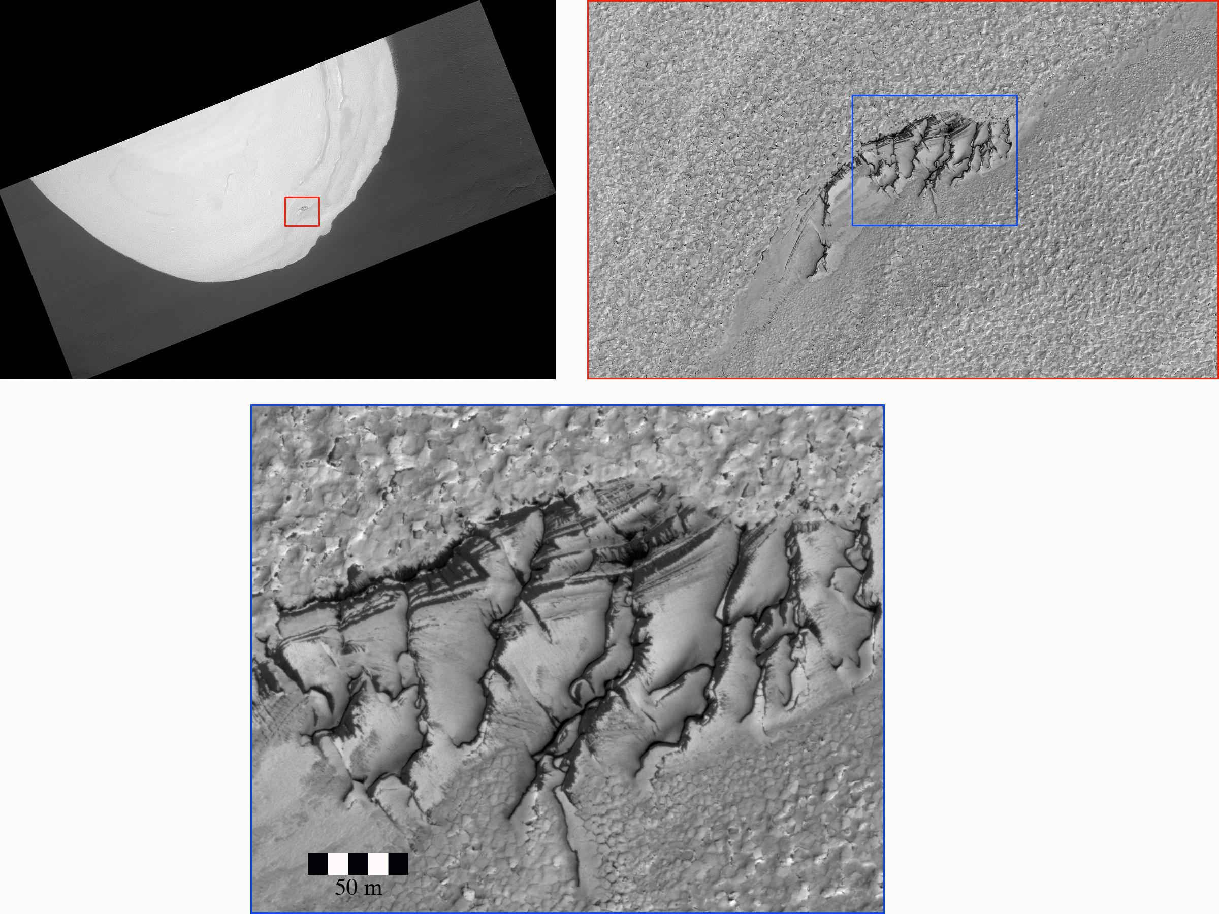
Saturday’s weekly dump of publications from the American Geophysical Union also included a paper that showed visual proof of avalanches on Mars! In this case, the location is Russell Crater, “a large crater in the southern hemisphere that exposes a large dune field in its center.” The avalanches occur because a frost layer made up of dry ice and a little bit of frozen water builds up on the crest of the dunes. When that frost melts, dark streaks about three to six feet wide and about 150 feet long appear, flowing downhill. The scientists believe these are avalanches made up of “a mixing of sand, dust, and unstable CO2 gas.”
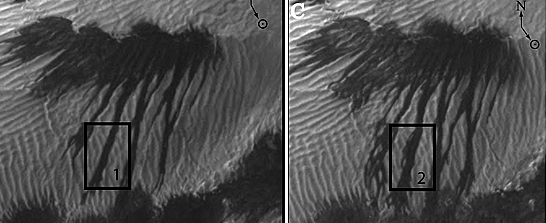
Before and after shots of the dark streaks flowing down the dune.
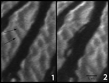
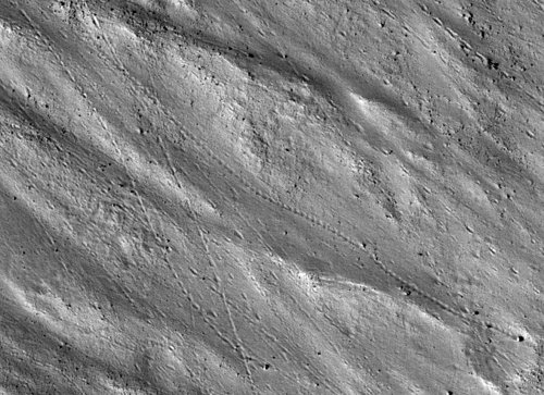
Close-ups of the streaks, before and after.
