
The weird landscape in Mars’ glacial country
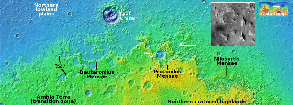
Glacier country in the northern mid-latitudes of Mars
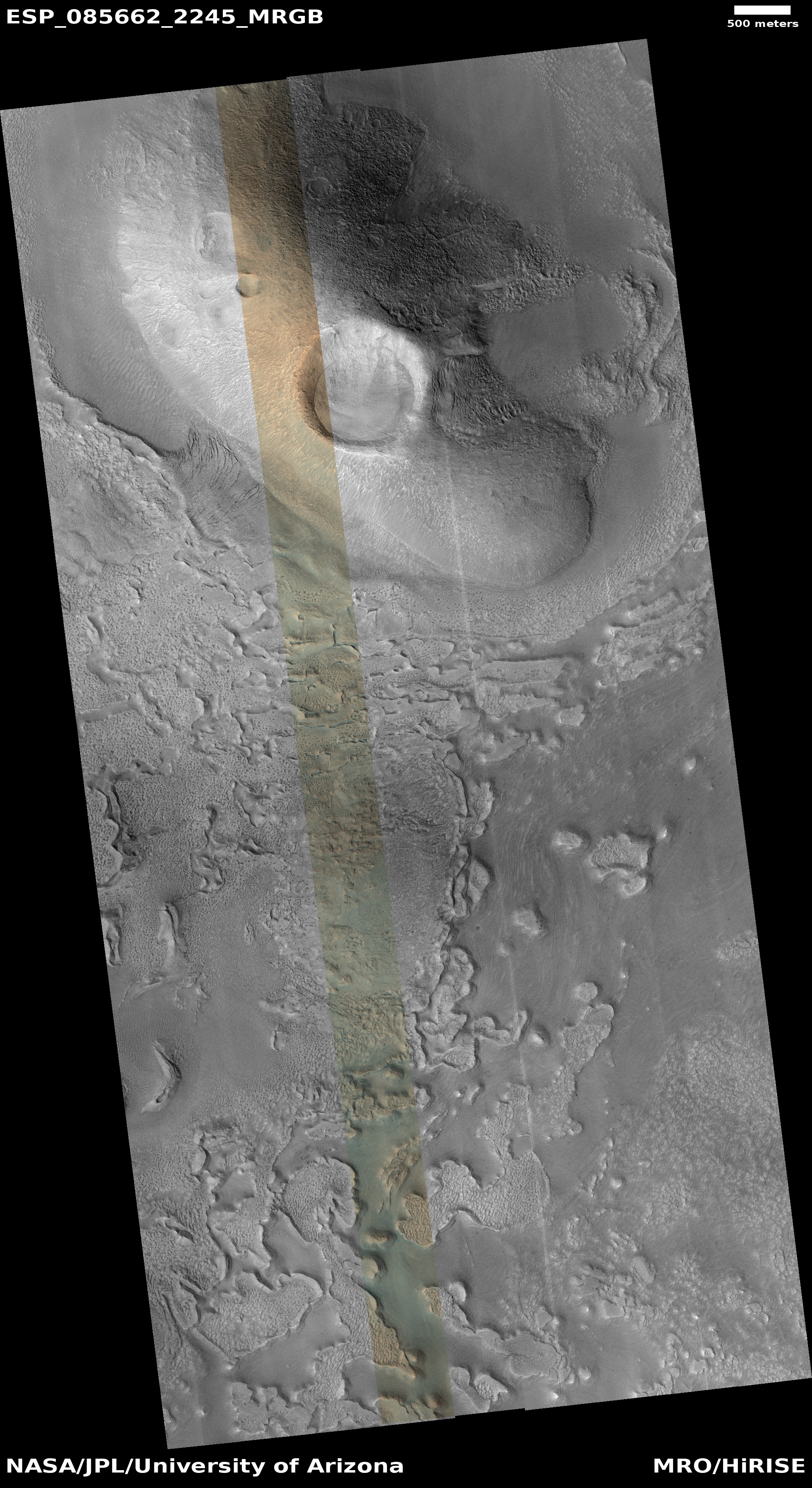
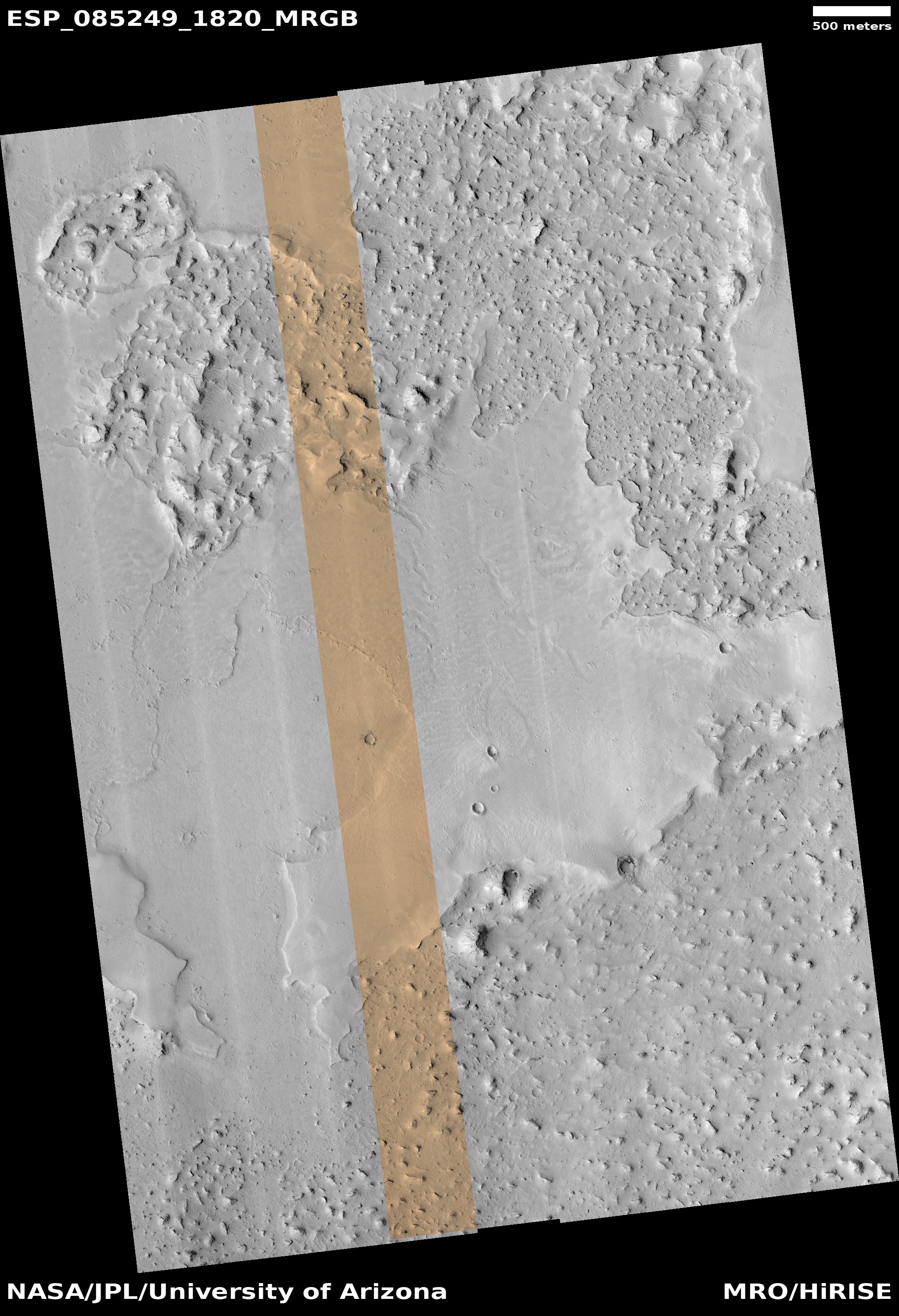
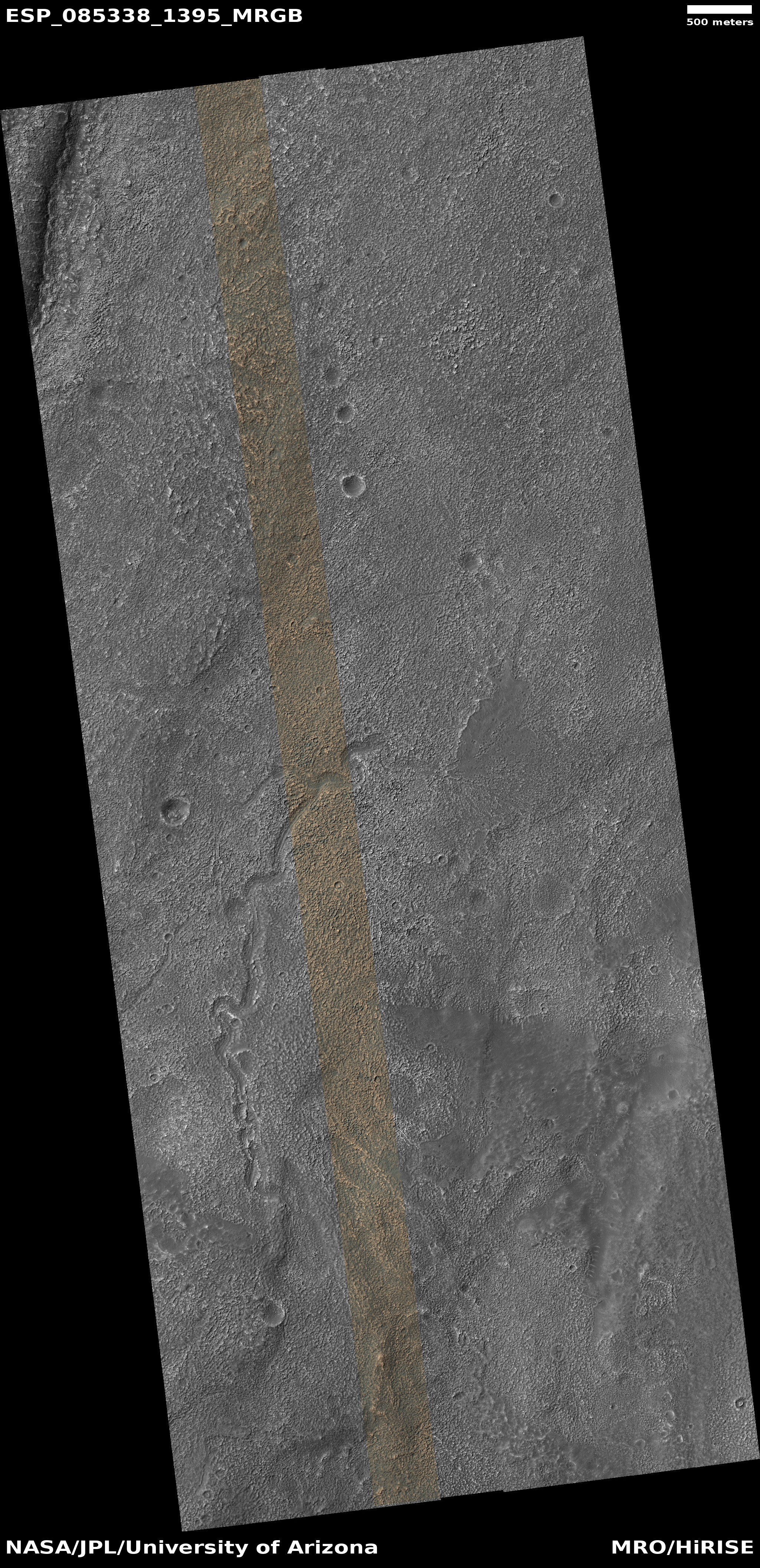
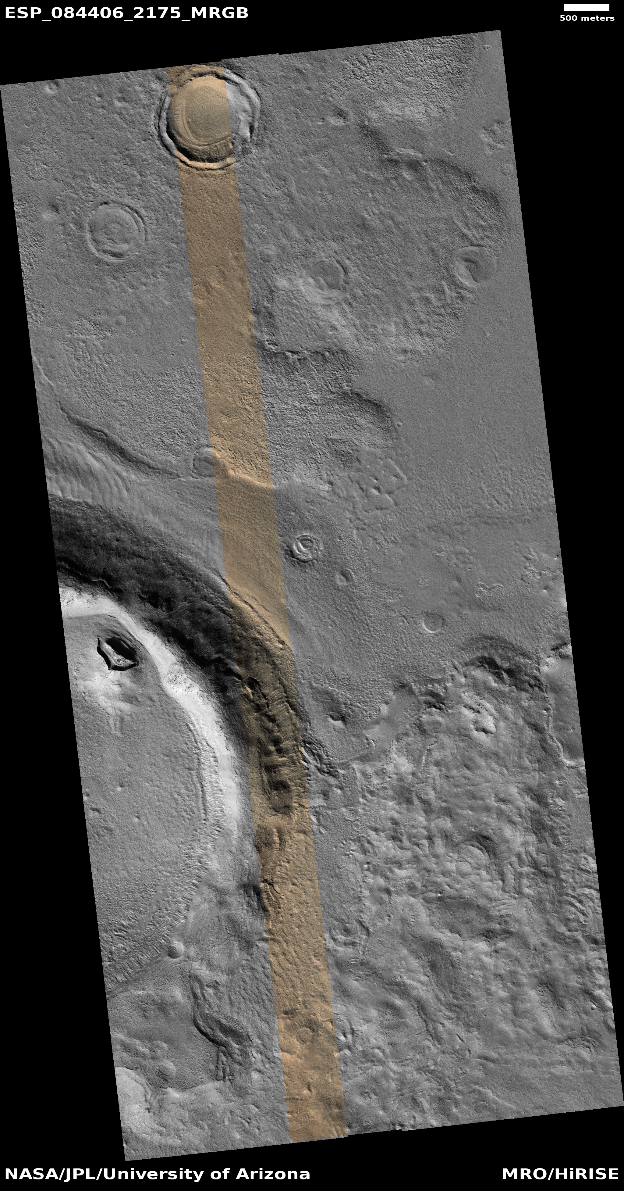
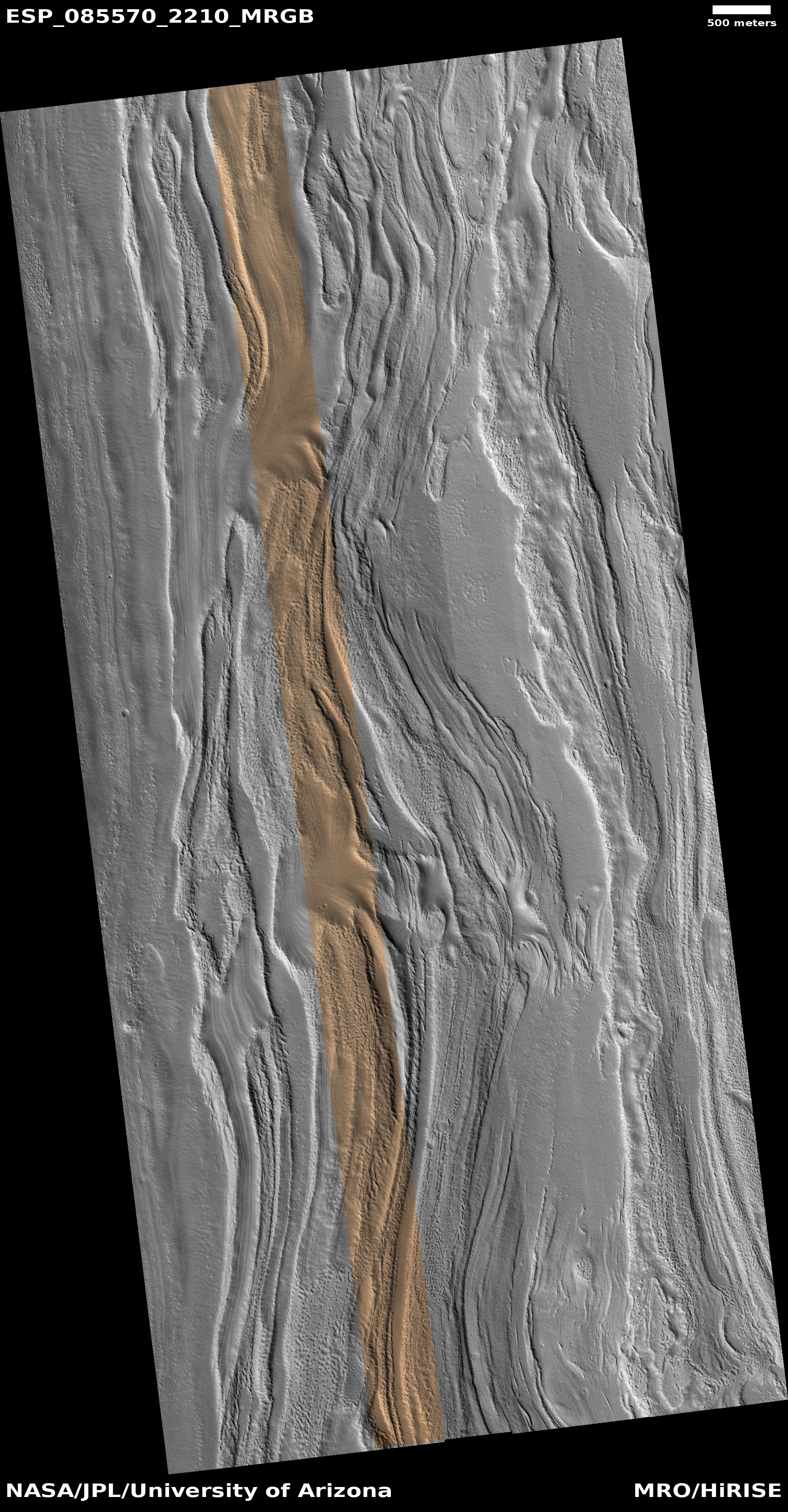
Cool image time! The picture to the right, rotated, cropped, reduced, and sharpened to post here, was taken on November 4, 2024 by the high resolution camera on Mars Reconnaissance Orbiter (MRO).
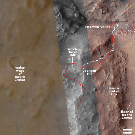
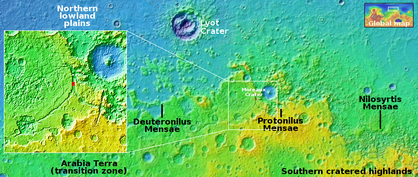
The science team labels the features in the lowland below the mesas “ribbed terrain.” To me it looks like peeling paint. What it is however is glacial material, a lot of it. The white dot on the overview map above marks the location, in the middle of the 2,000-mile-long mid-latitude strip in the northern hemisphere I label glacier country, because practically every high resolution image of this region shows glacial features like those on the right.
The mesa with the crater on top gives a clue on the geological history. This is chaos terrain, a region of random mesas cross-crossed with canyons and wide low plains, as shown in the inset. The entire surface was probably once at the same height as the top of that mesa with the crater. Over time glacial ice eroded away along fault lines. As that sublimation process continued, the fault lines widened to became canyons, then the flat plains, with the isolated mesas remaining between.
The “peeling paint” terrain is likely a layer of ice that is in the process of sublimating away.


