
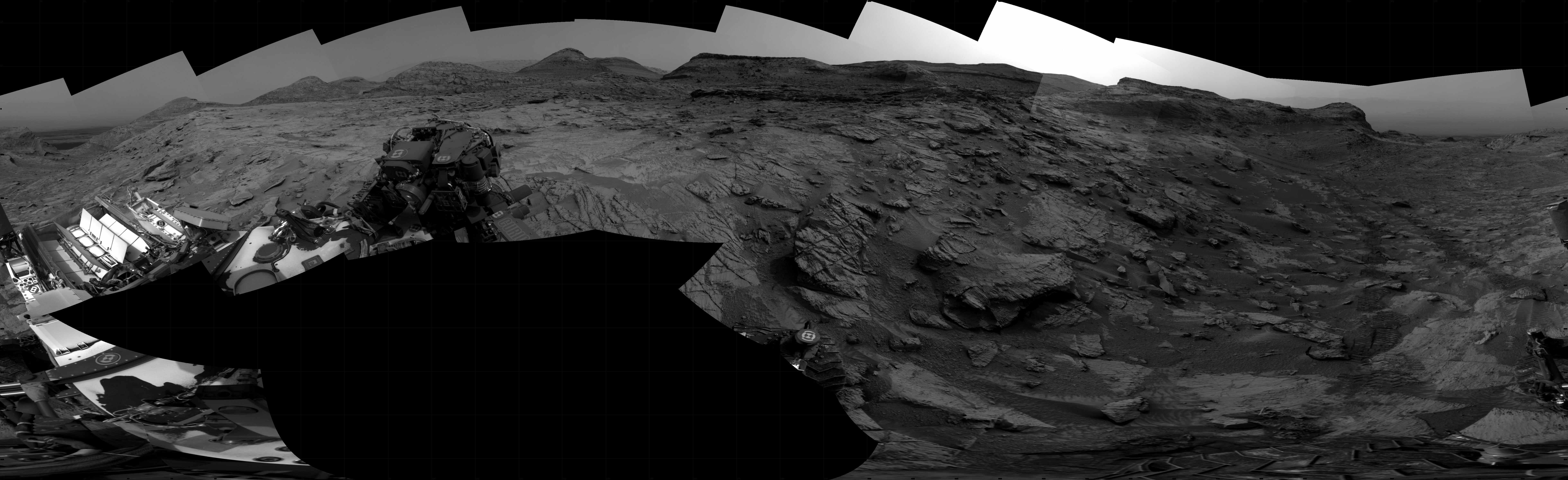
Curiosity celebrates ten years on Mars
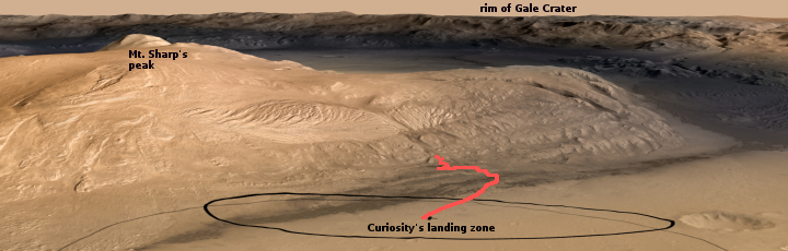
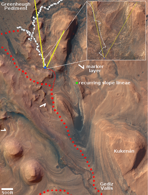
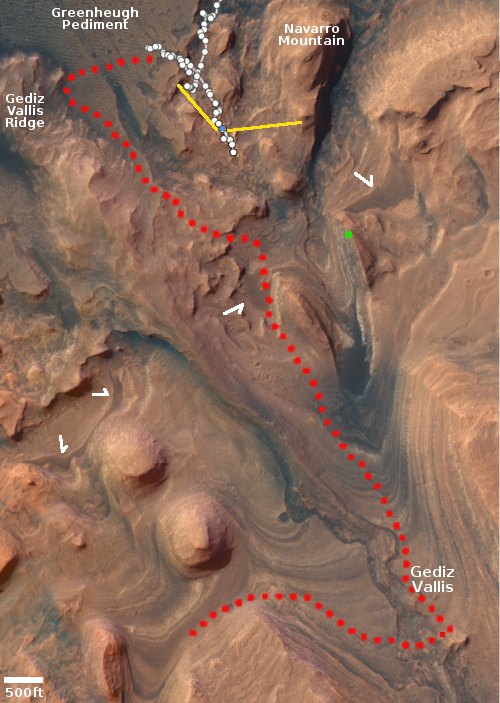
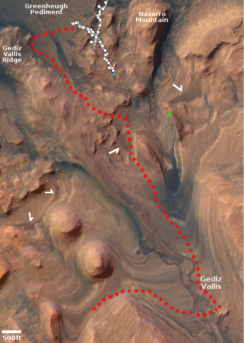
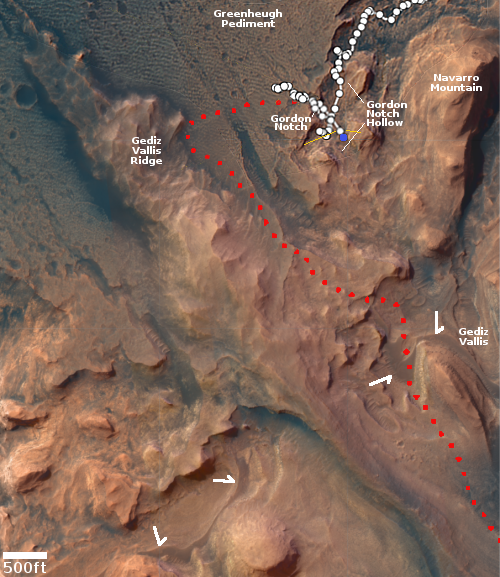
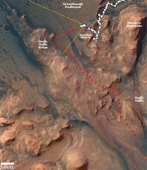
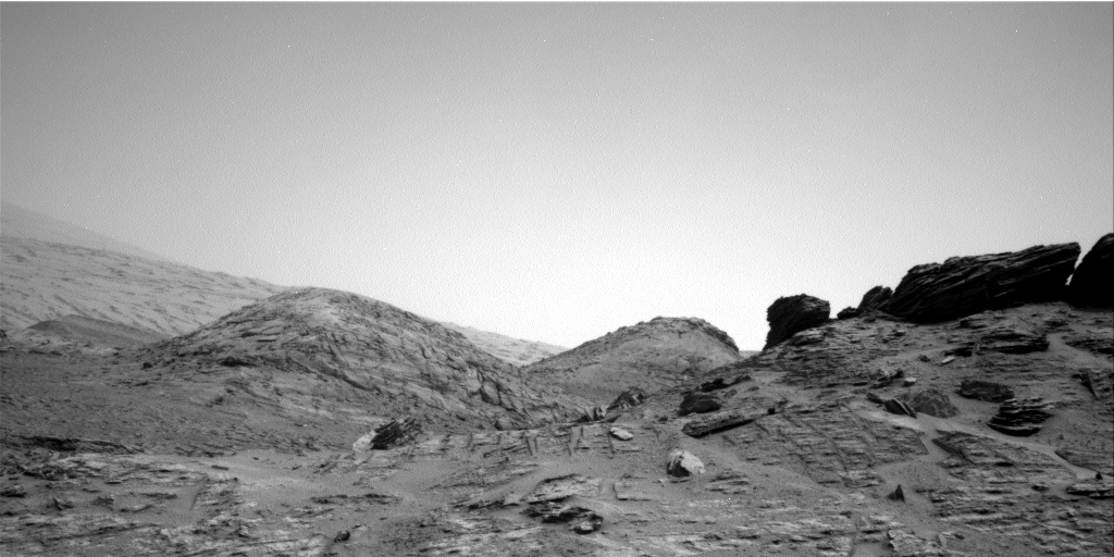
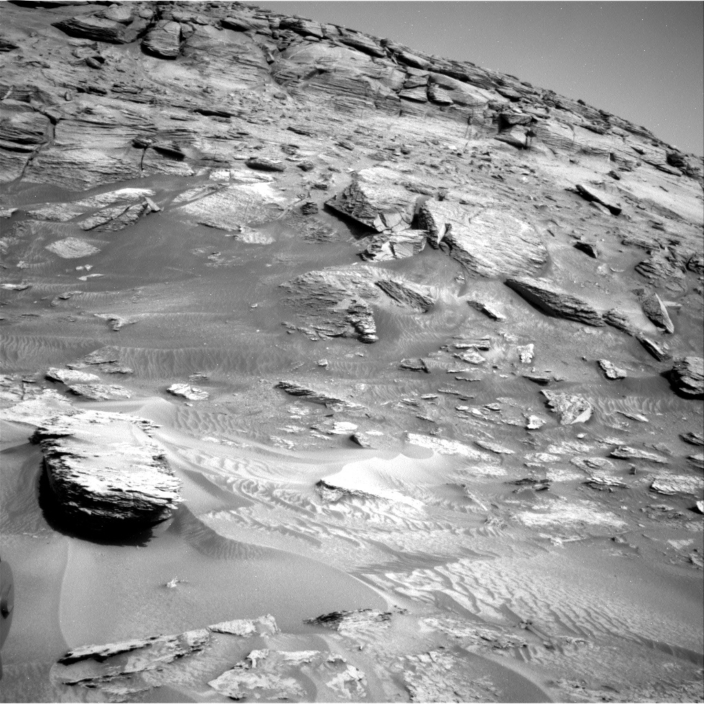
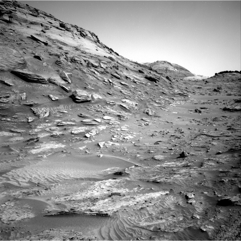
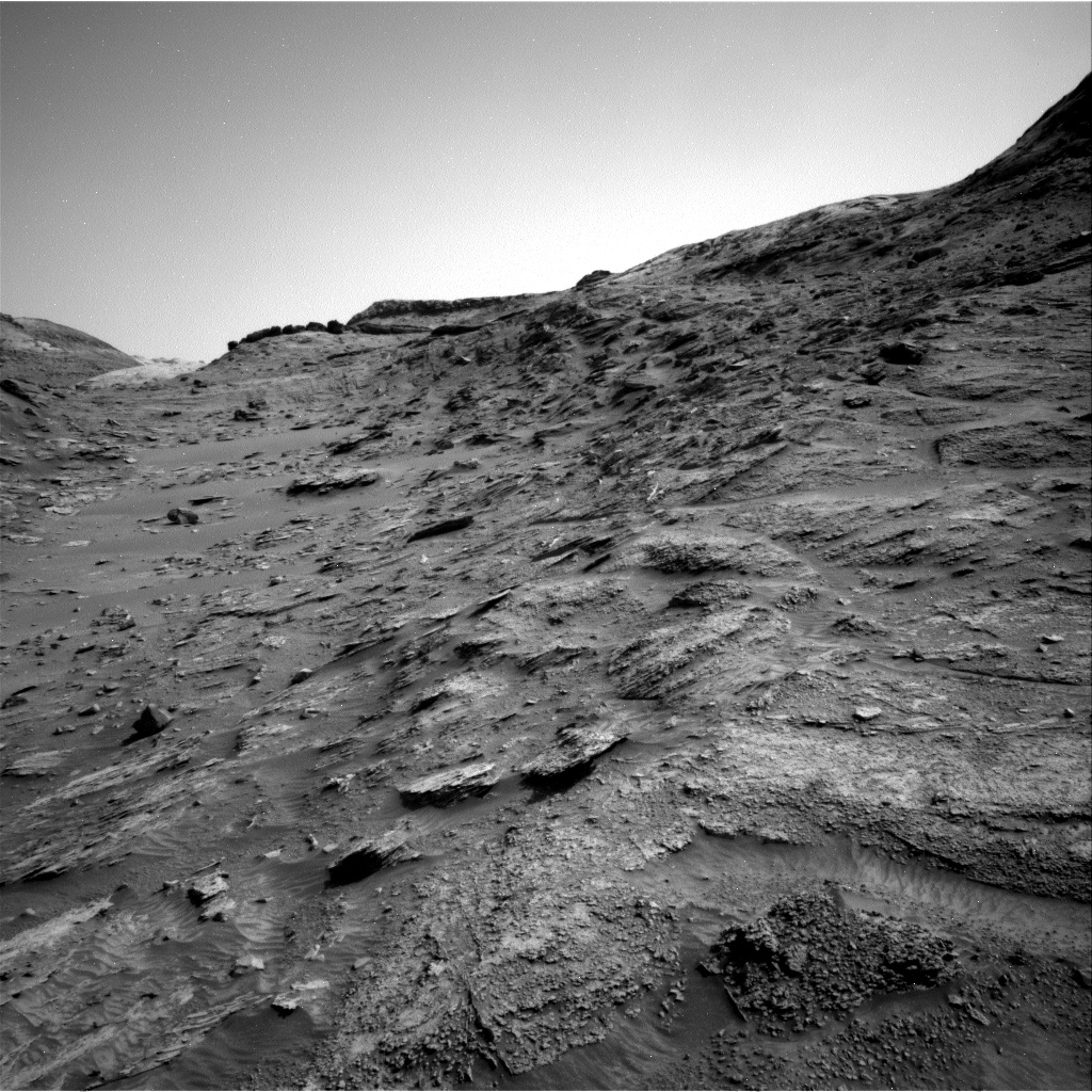
Sometime today the rover Curiosity will celebrate its tenth anniversary on Mars. The oblique graphic of Gale Crater above, first released by the science team shortly before landing in 2012, has been further annotated with a red line to show the rover’s journey since then. As noted by Scott VanBommel, Planetary Scientist at Washington University, today on the science team’s blog:
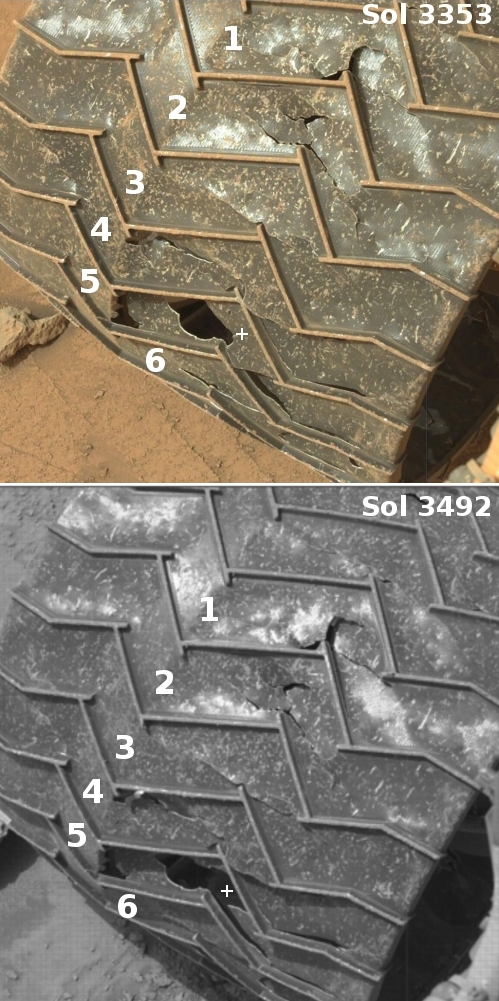
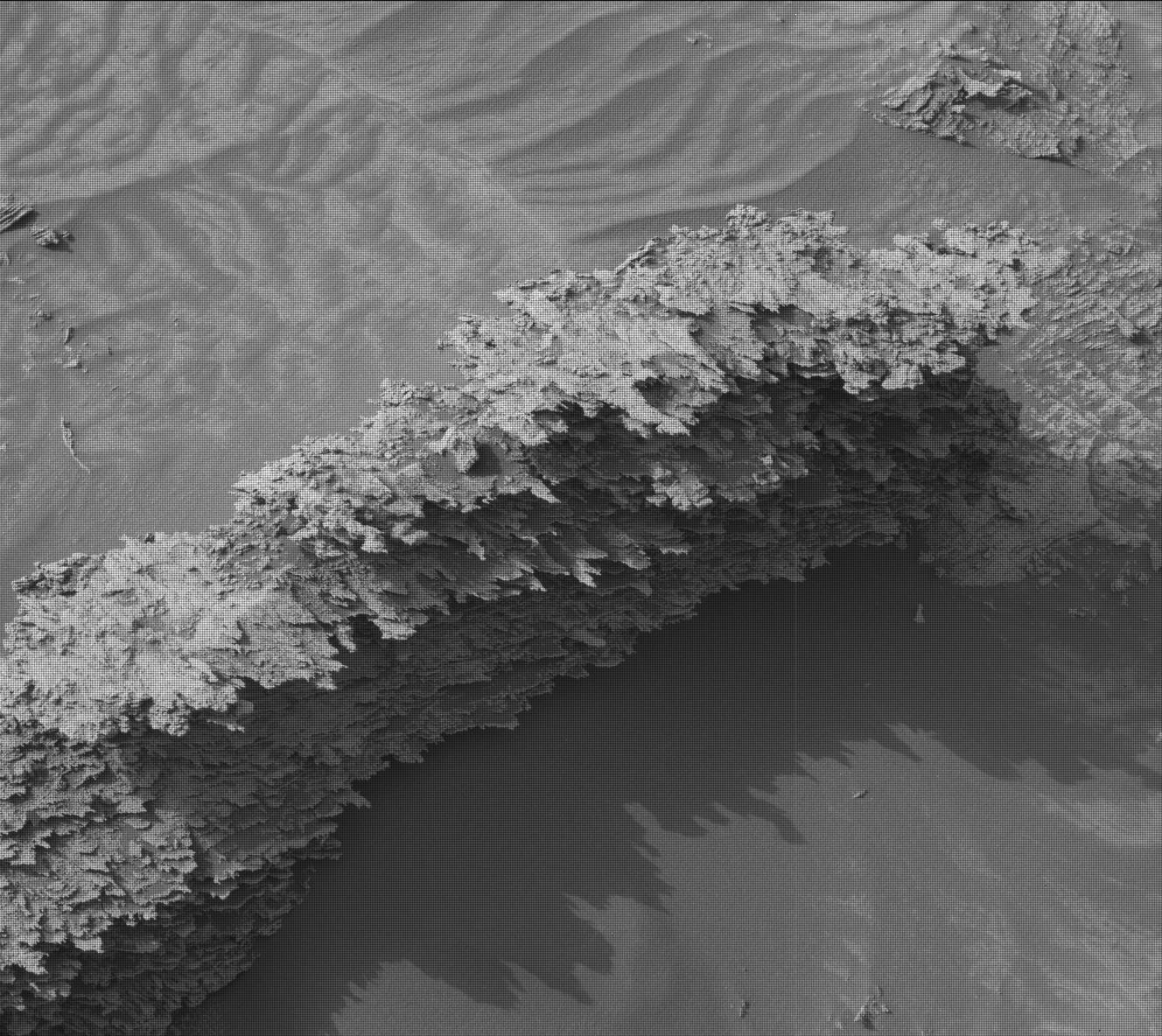
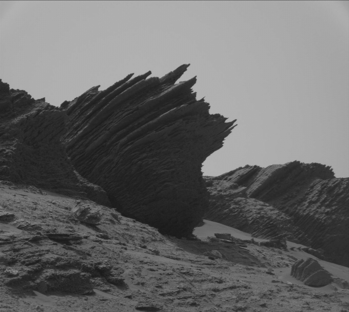
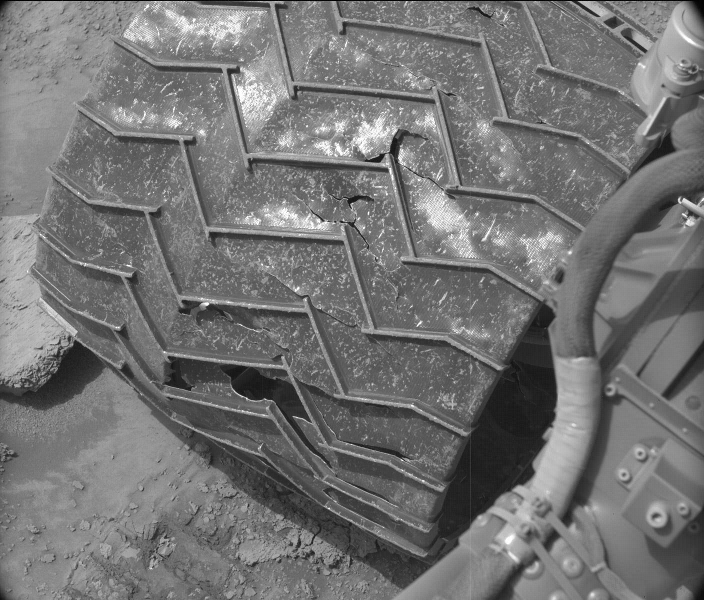
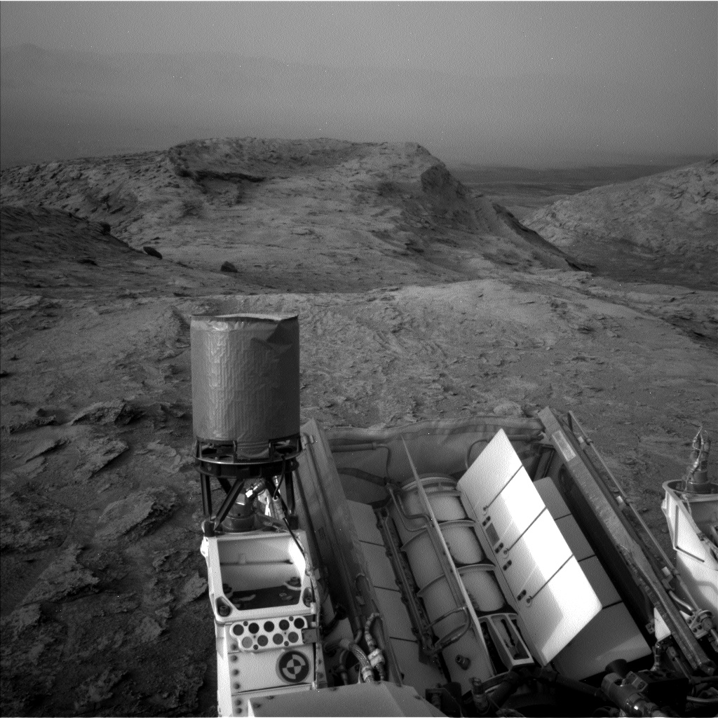
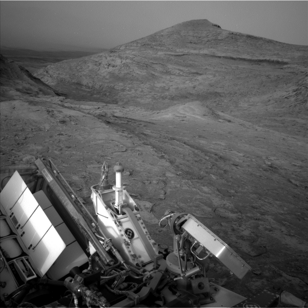
As we the science and engineering teams have aged this last decade, so has Curiosity. The toll of ten years and nearly 28.5 km [17.7 miles] of Mars driving shows with every MAHLI wheel imaging activity, with less energy available for a plan, and with aging mechanisms. This is the life of a Mars rover. Spirit and Opportunity were no different, yet they persisted and paved the way scientifically and technologically for the rovers of today. Curiosity has made numerous scientific discoveries during these ten years, emphasized by the over 500 science team publications, with many more ahead as we continue our ascent and exploration of Gale crater and Mount Sharp.
I look forward to the next ten years.
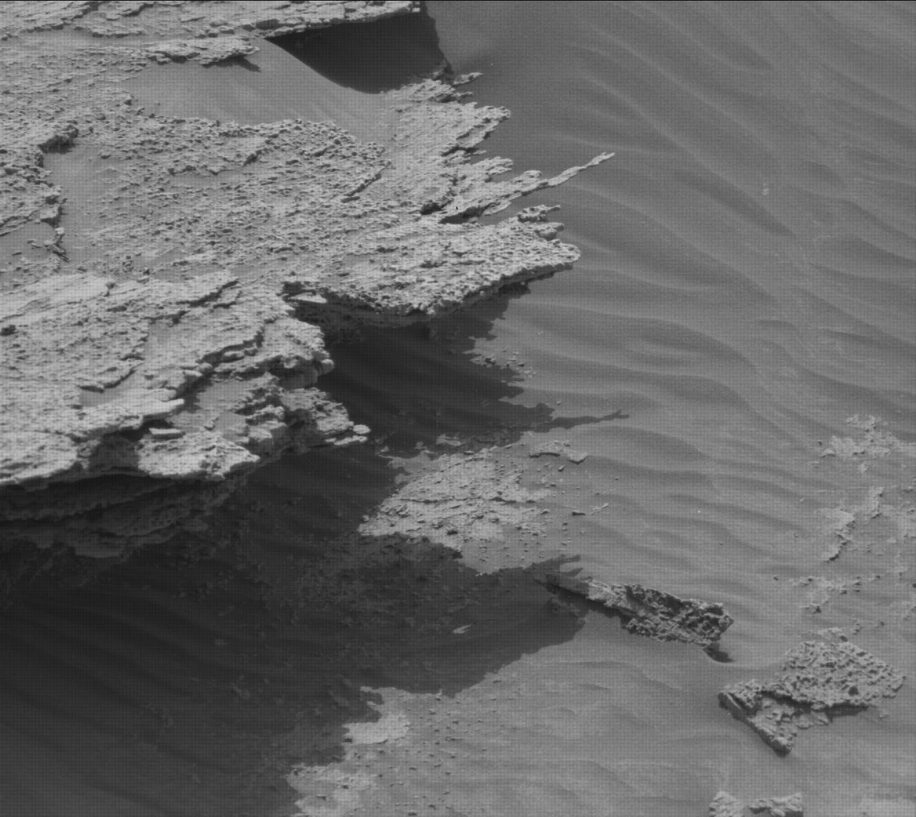
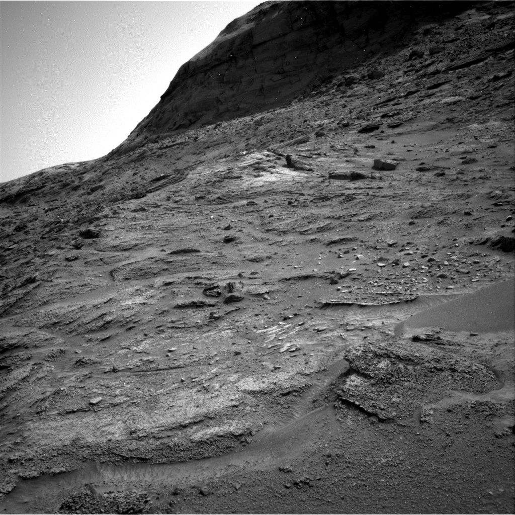
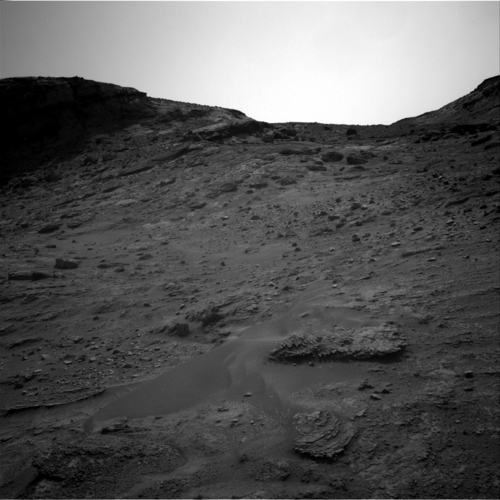
Despite that aging, Curiosity’s general condition appears quite excellent, with its wheels the greatest concern but generally holding up. Based on the last ten years, the rover is likely to remain operational for at least ten more years, if not longer.
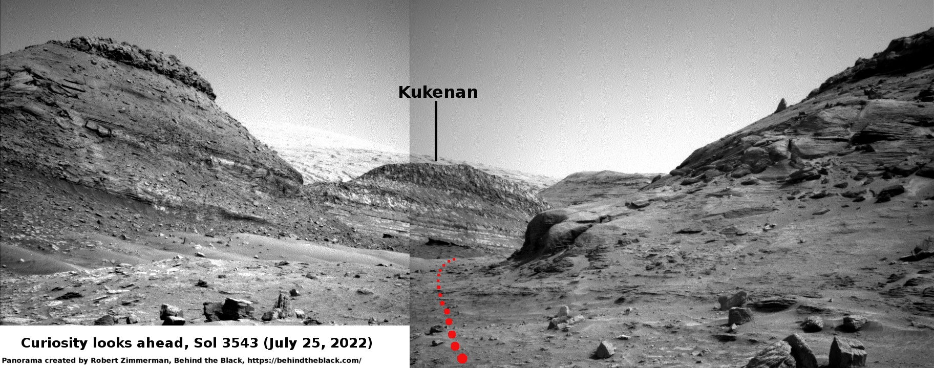
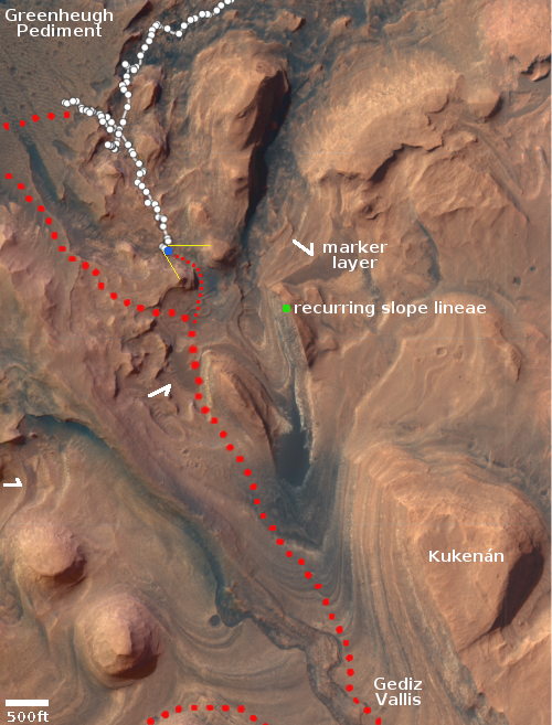
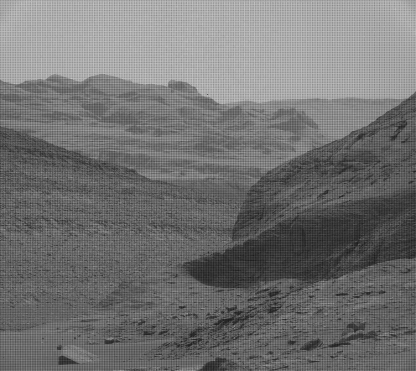
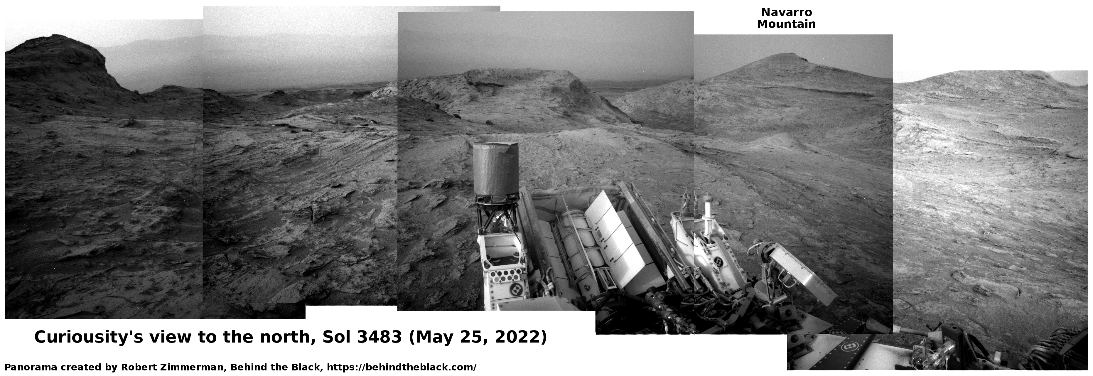
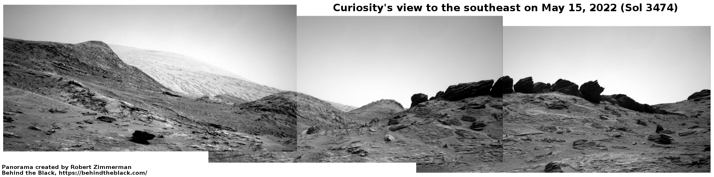
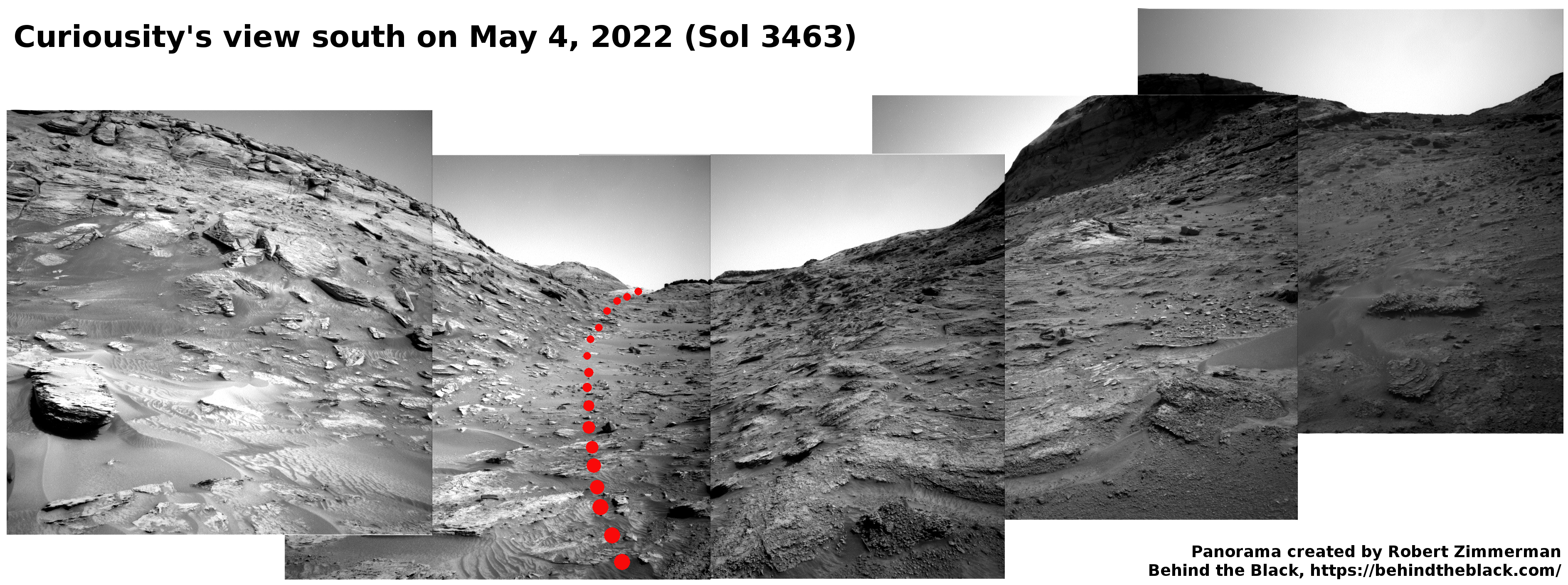
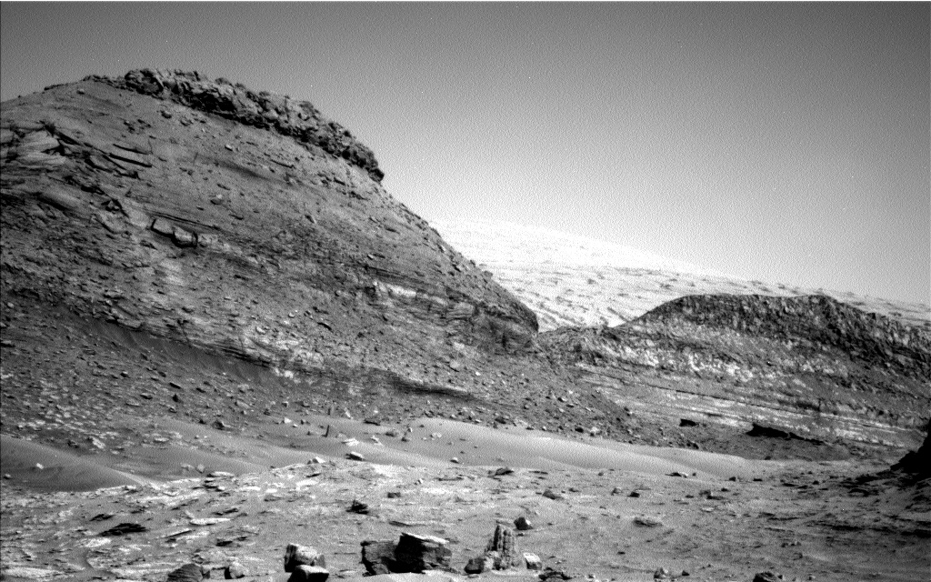
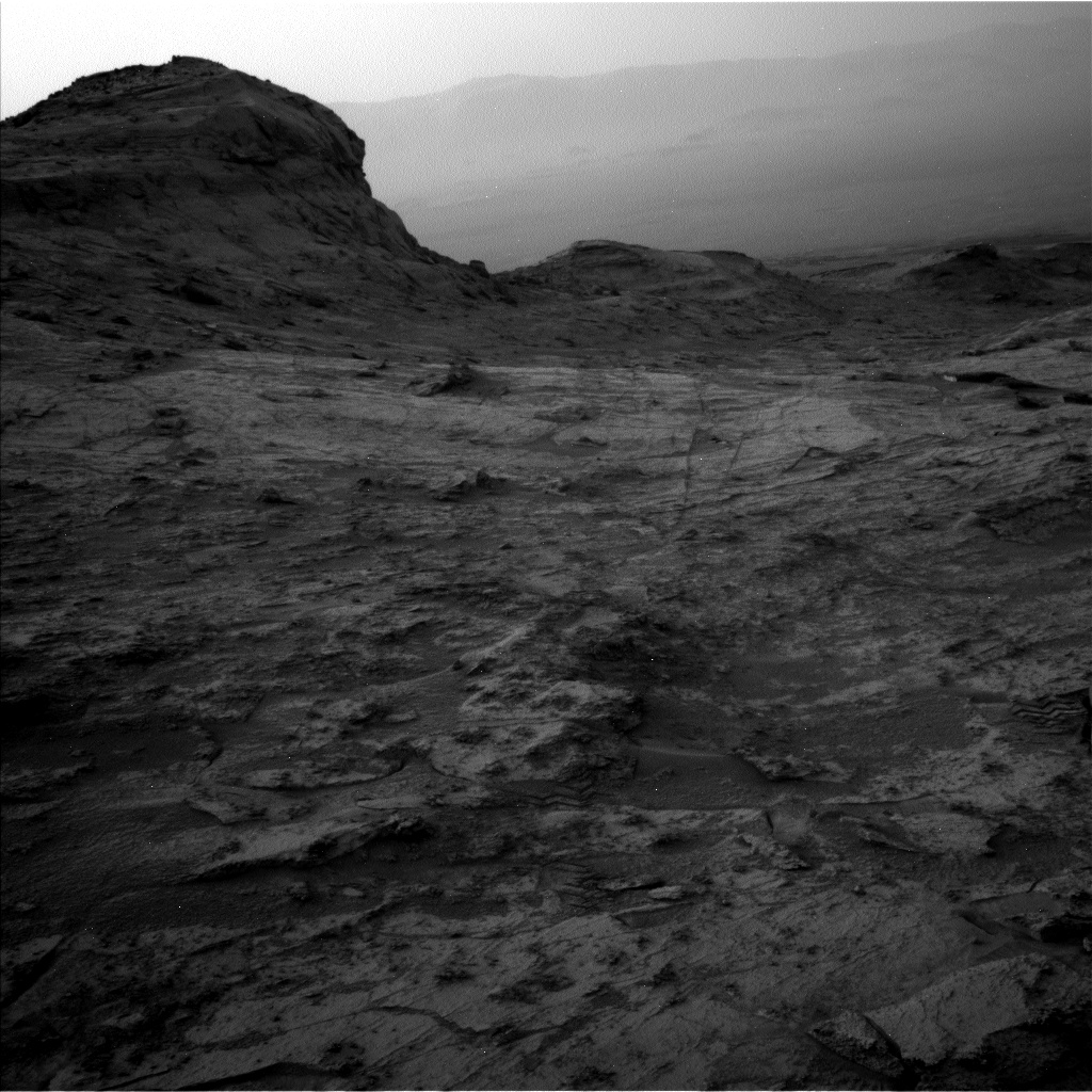
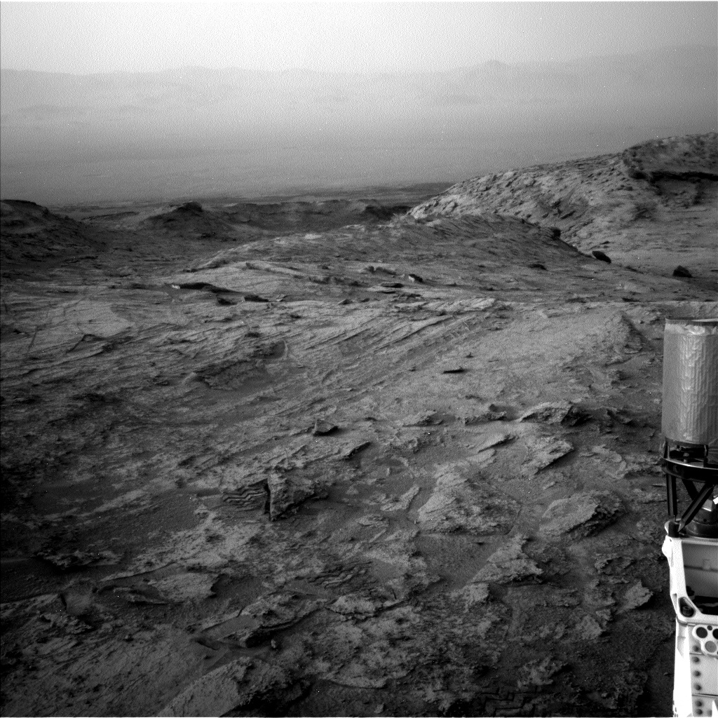
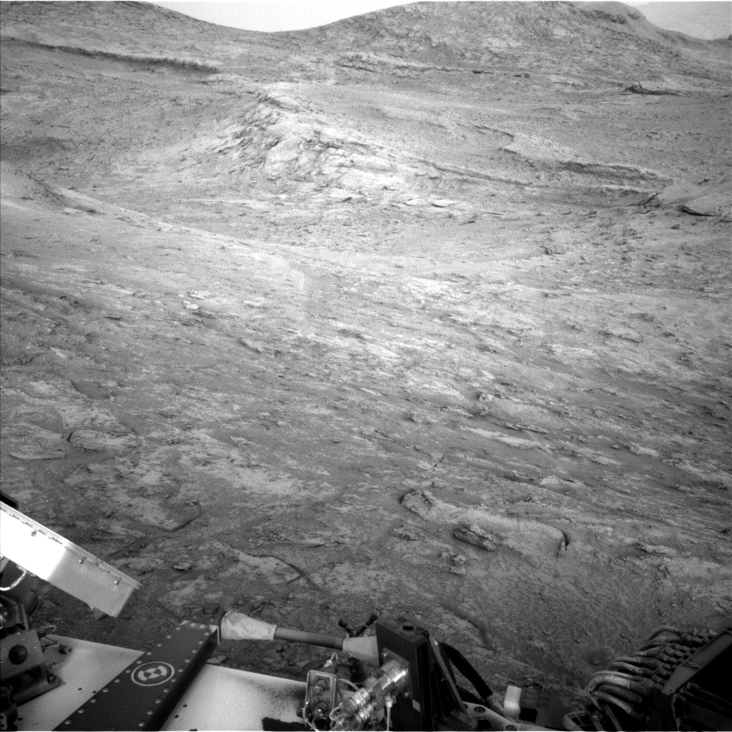
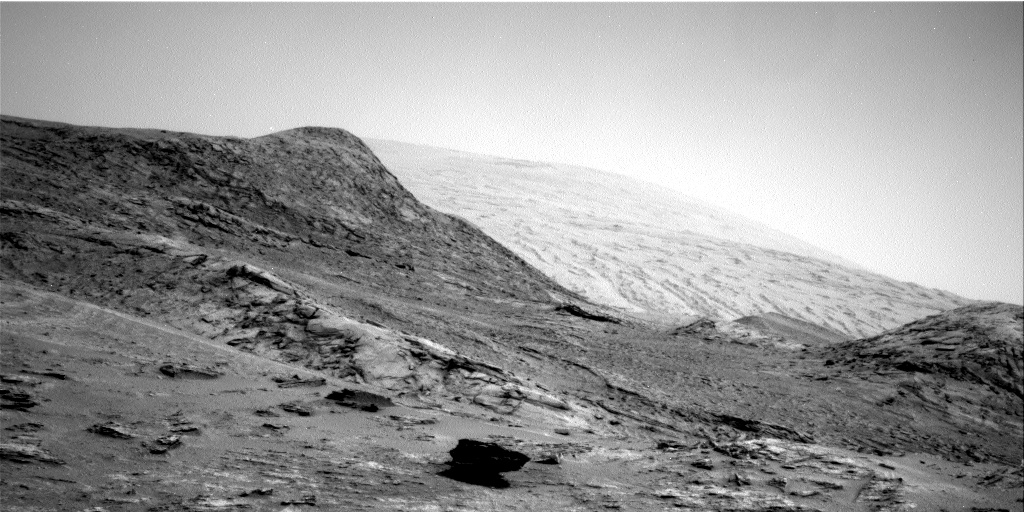
In the more immediate future, the rover is only days away from getting its first good look down into Gediz Valles, that canyon on the graphic above that it has been traveling towards since day one.
A good review of five of Curiosity’s biggest discoveries using its sample analysis instrument can be found here.


