
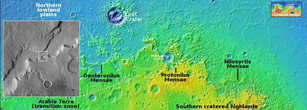
Meandering channel in Mars’ southern cratered highlands
Click for original image.
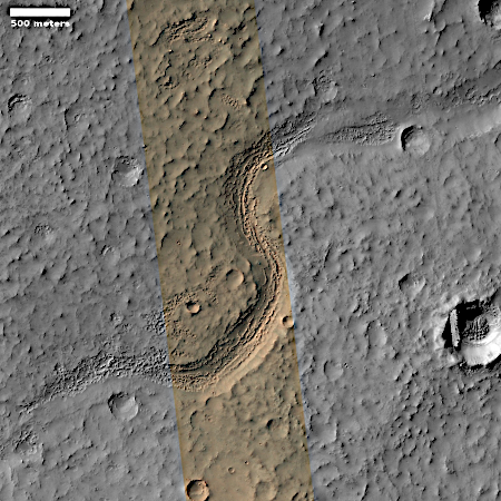
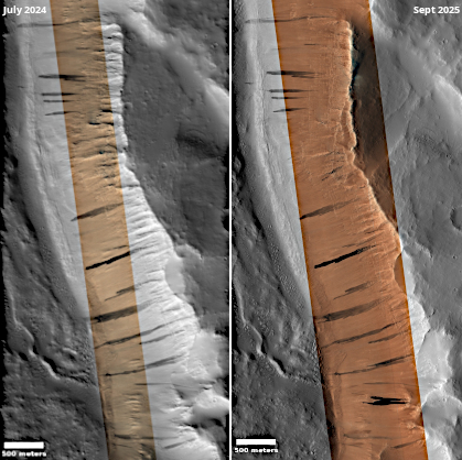
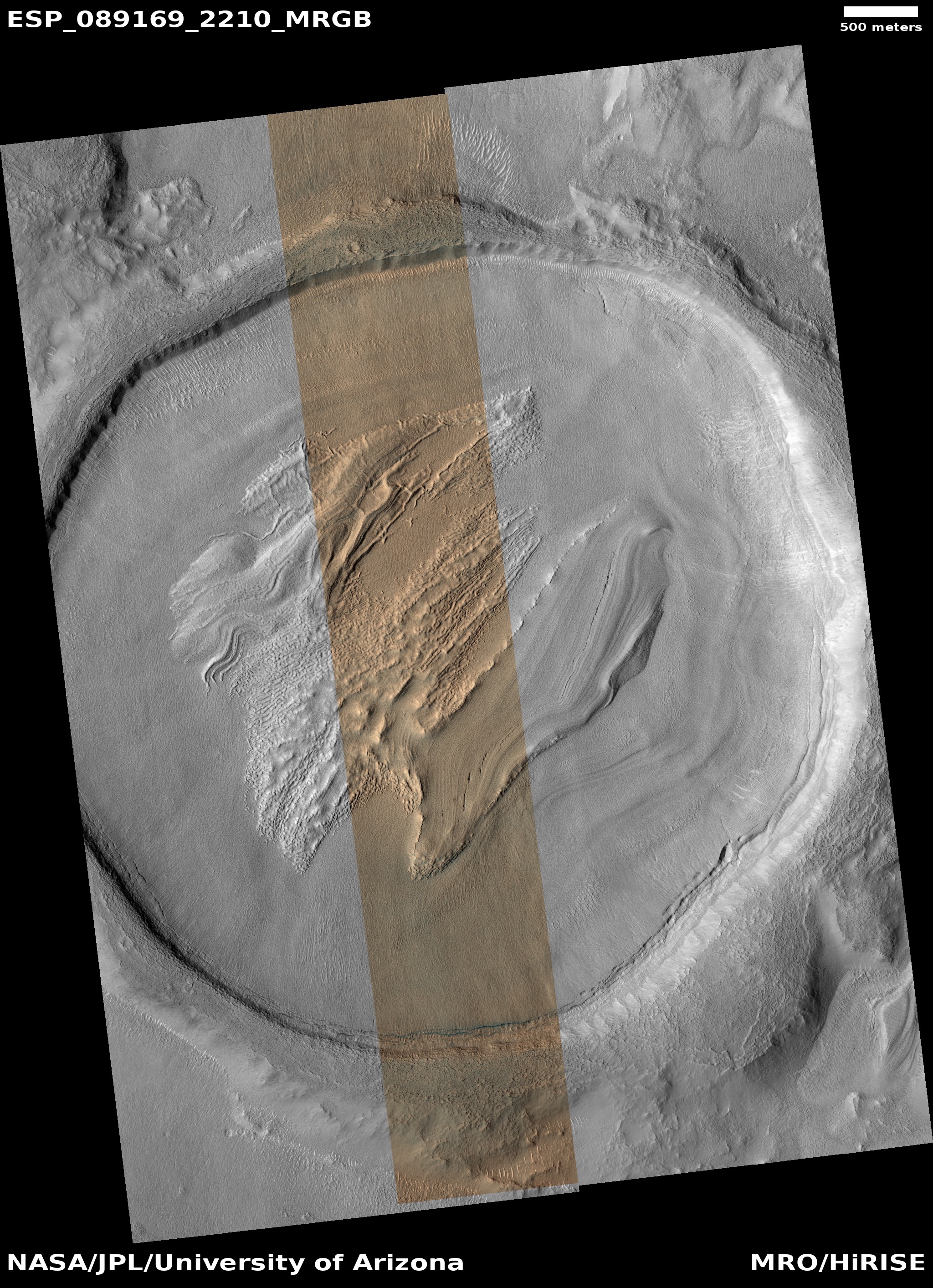
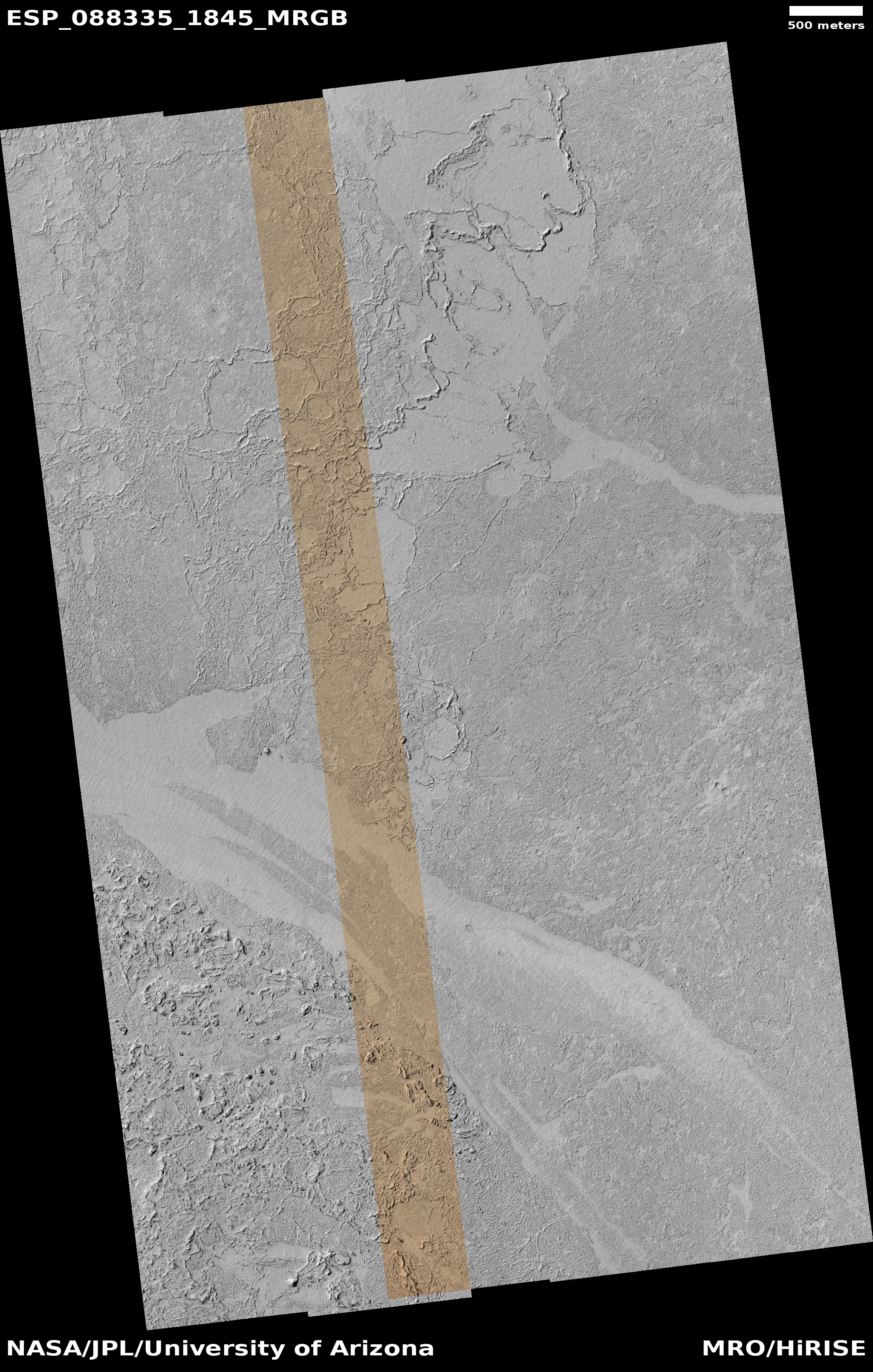
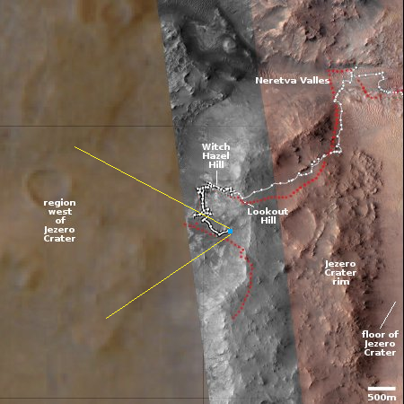
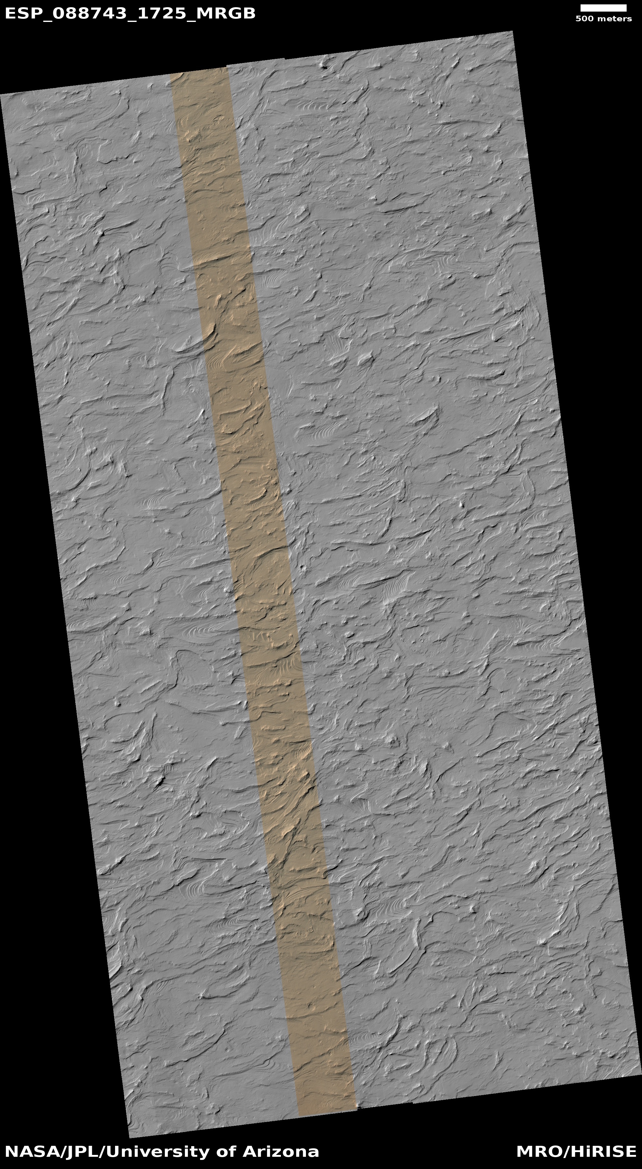
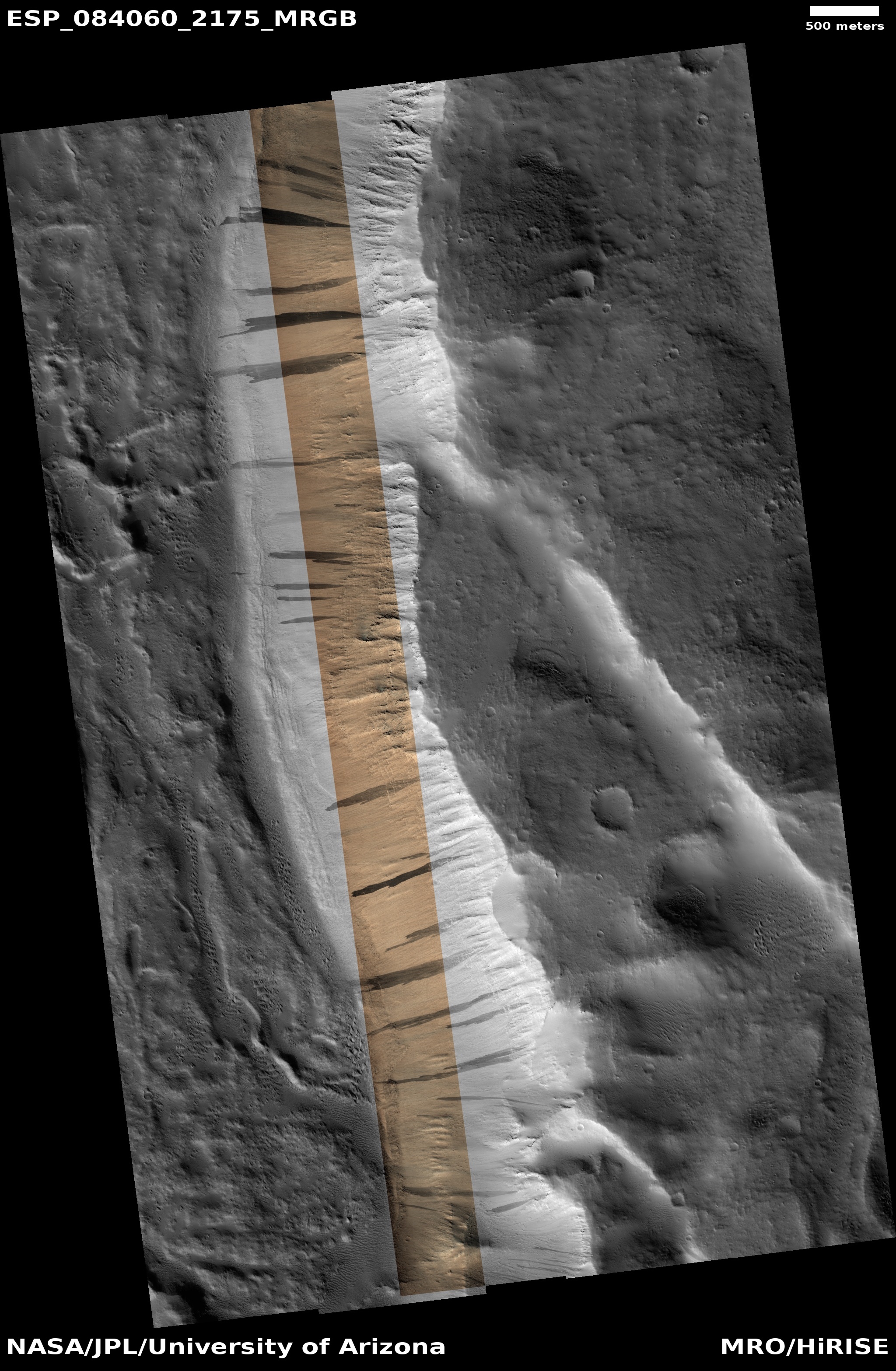
Cool image time! The picture to the right, cropped, reduced, and sharpened to post here, was taken on August 30, 2025 by the high resolution camera on Mars Reconnaissance Orbiter (MRO).
Dubbed a “channel” by the MRO science team, it shows us a meandering canyon with a floor that seems filled with corroded linear features seen frequently on Earth glaciers. Here, the linear ridges appear broken, in many places missing, and in other places so broken their linear nature disappears.
If this was on Earth and I was a global warming activitist, I would immediately claim that the glacier has been evaporating away due to a warming climate caused by SUVs and Republican intransigence. This however is on Mars, where there are no SUVs or Republicans. So what is going on?
» Read more
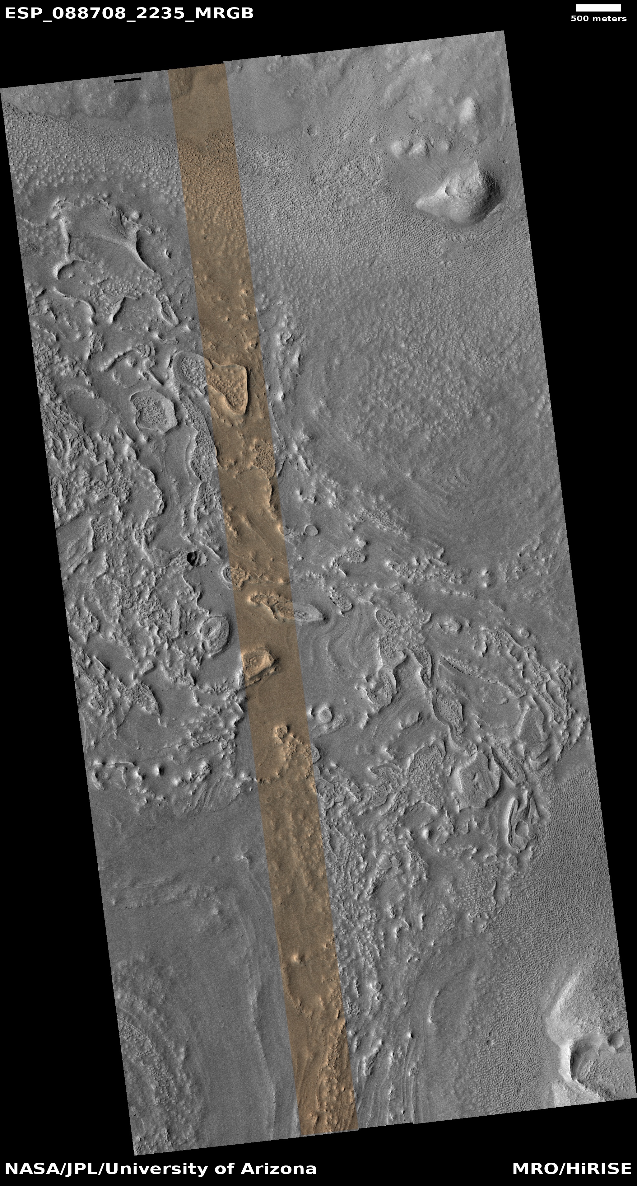
Click for original image.
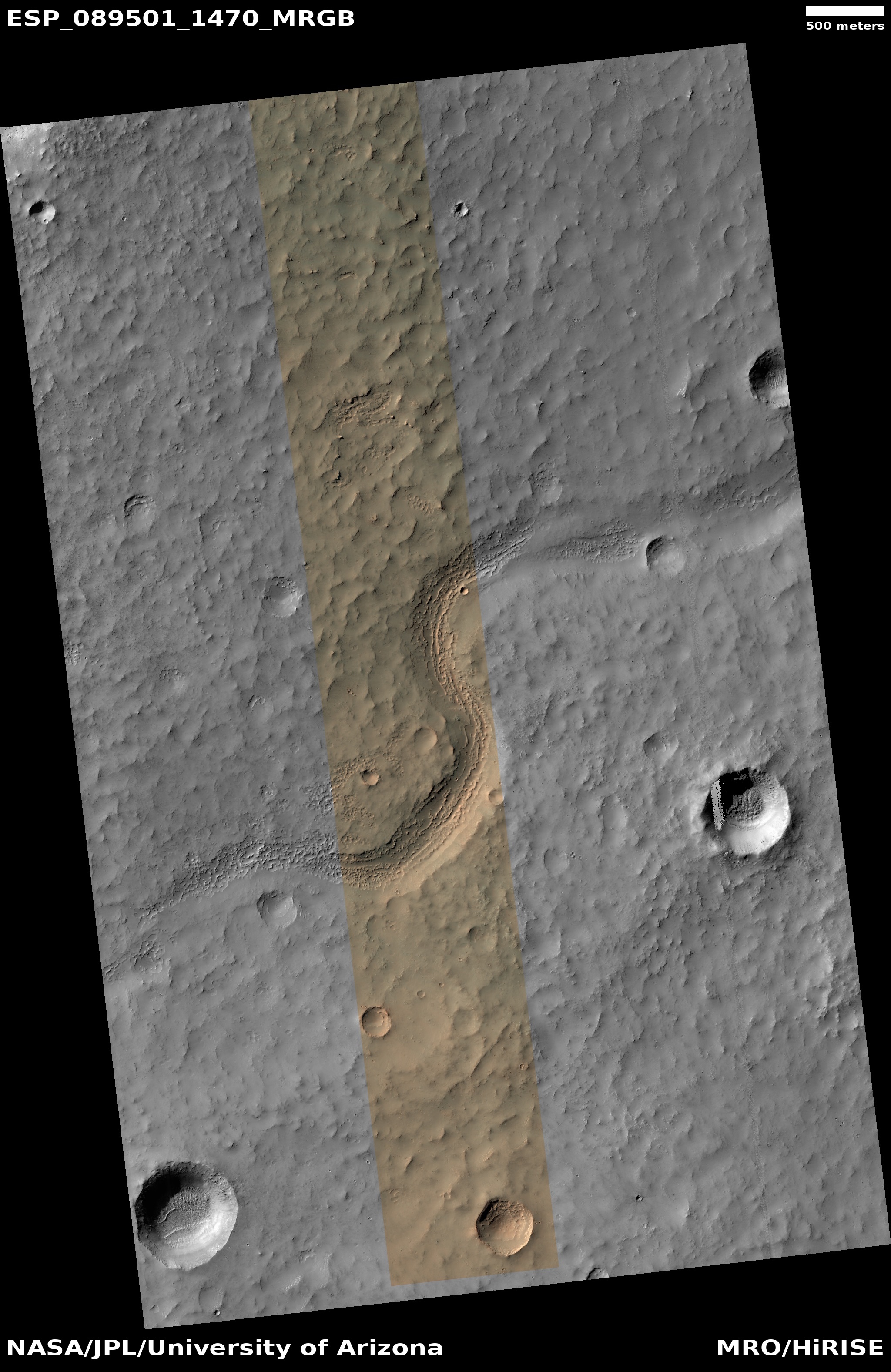
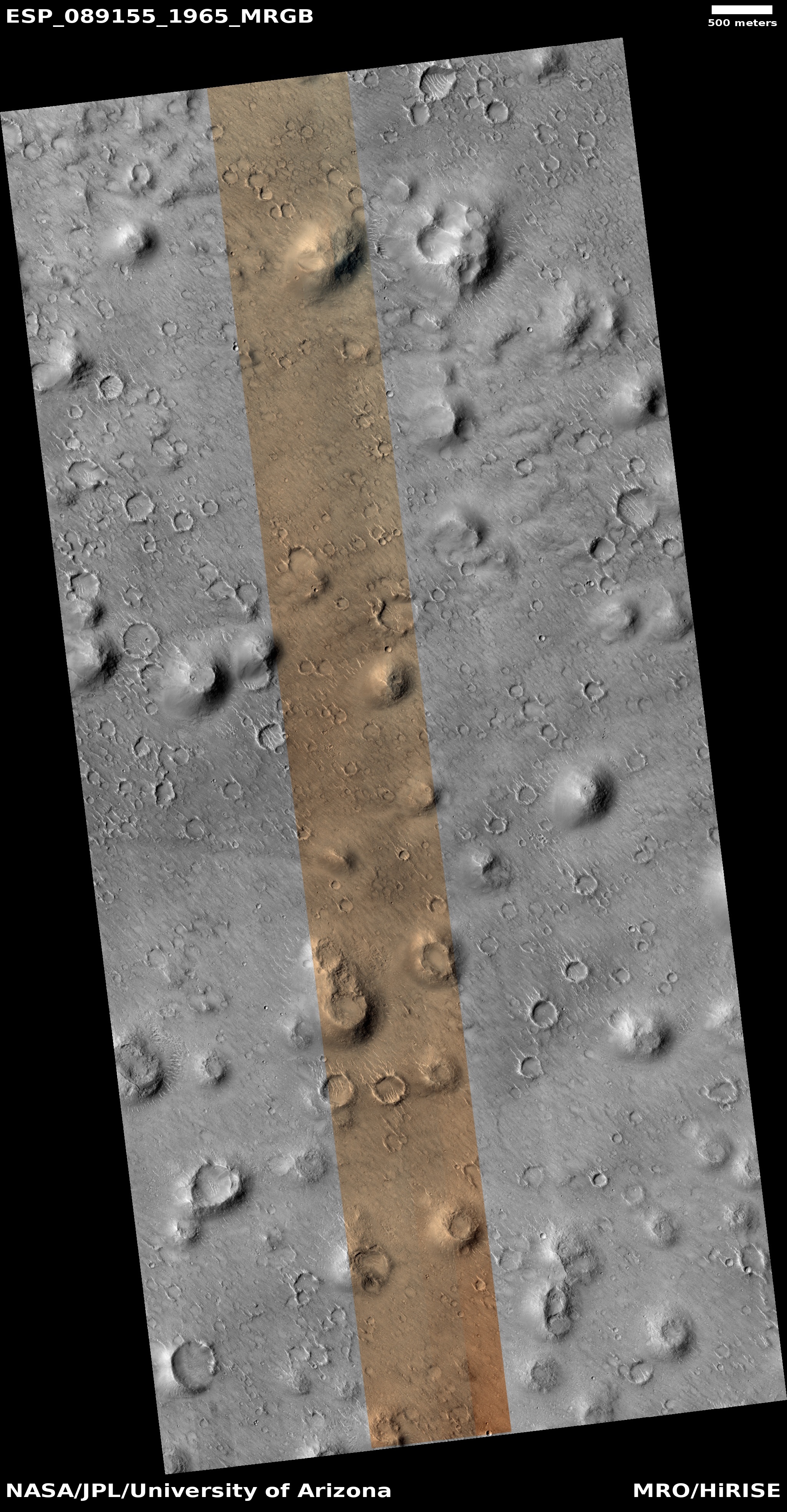
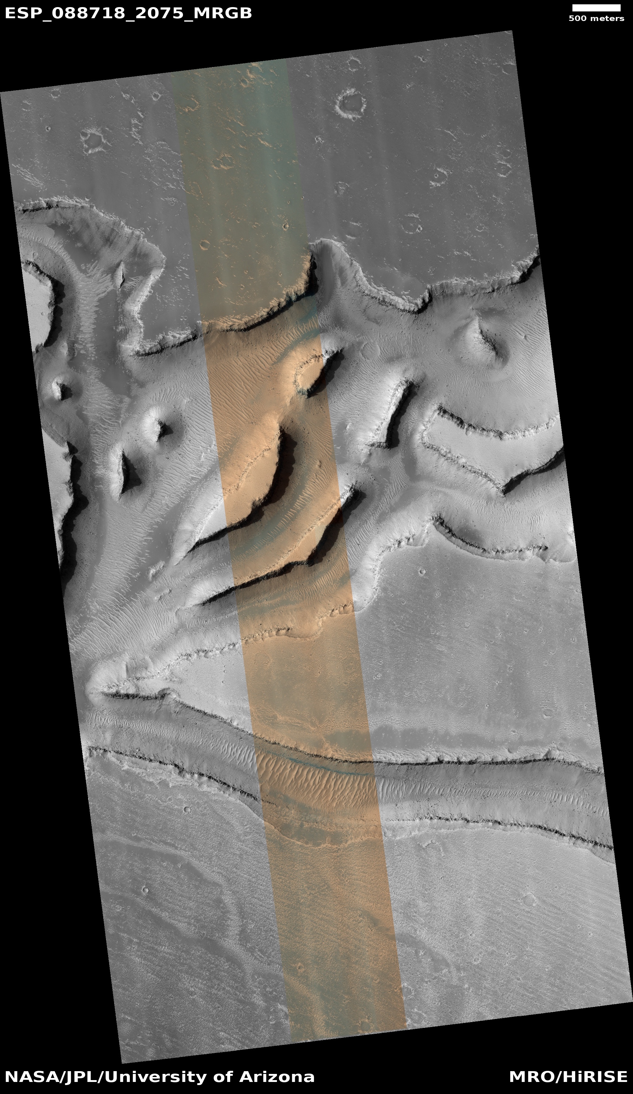
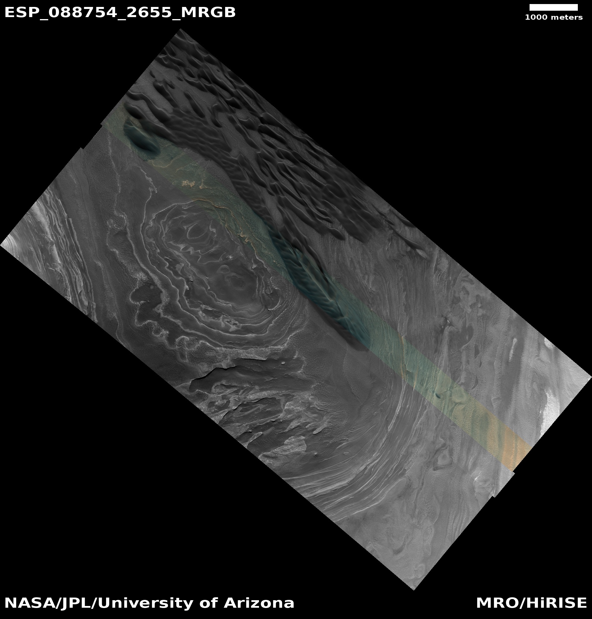
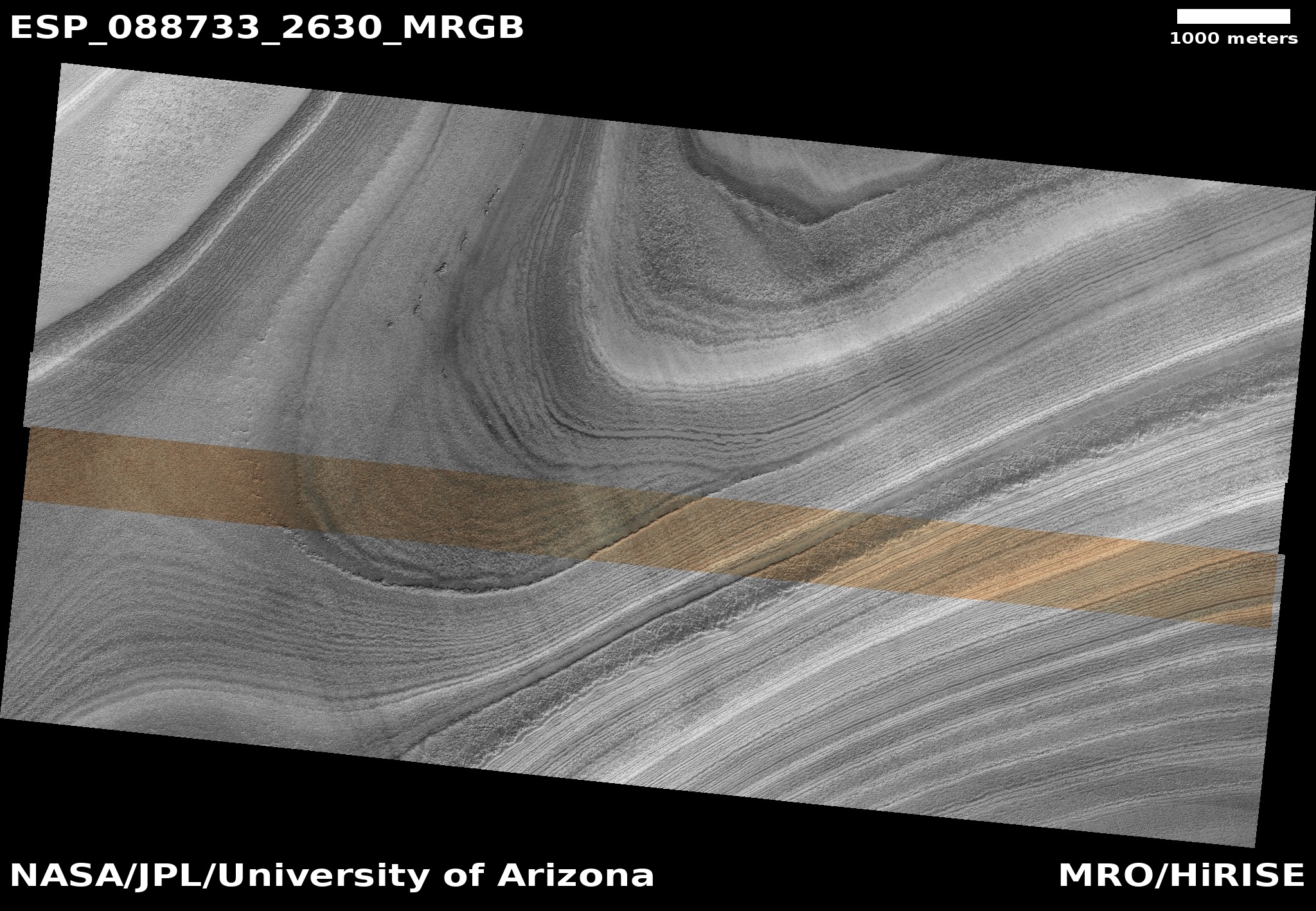
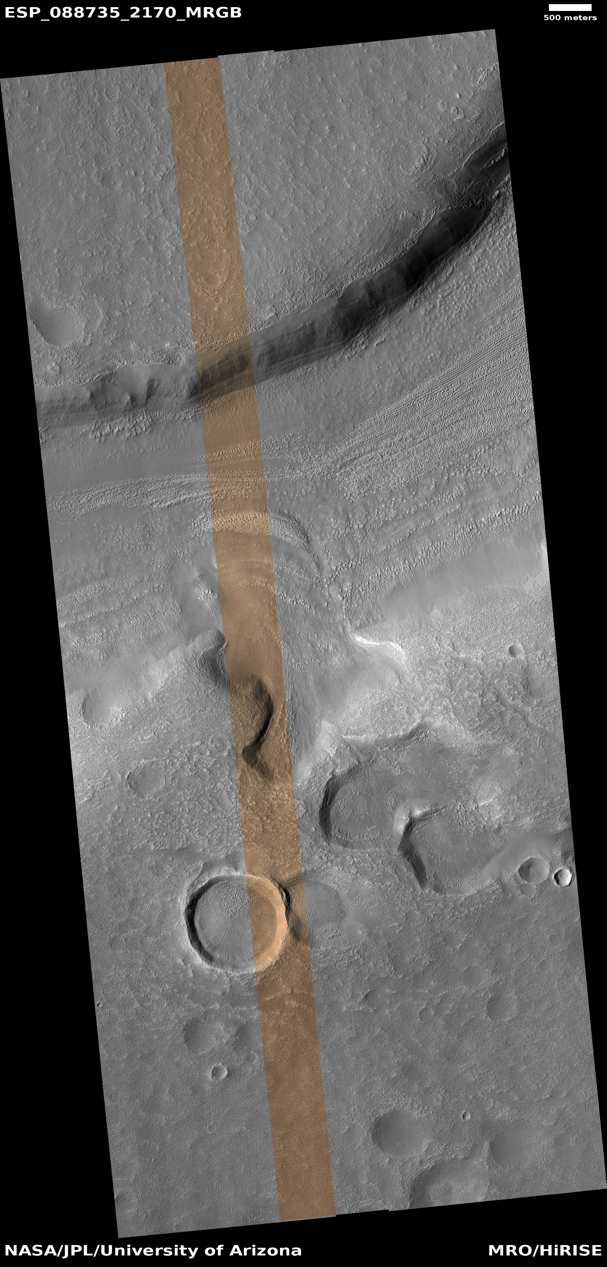
Cool image time! The picture to the right, cropped, reduced, and sharpened to post here, was taken on August 30, 2025 by the high resolution camera on Mars Reconnaissance Orbiter (MRO).
Dubbed a “channel” by the MRO science team, it shows us a meandering canyon with a floor that seems filled with corroded linear features seen frequently on Earth glaciers. Here, the linear ridges appear broken, in many places missing, and in other places so broken their linear nature disappears.
If this was on Earth and I was a global warming activitist, I would immediately claim that the glacier has been evaporating away due to a warming climate caused by SUVs and Republican intransigence. This however is on Mars, where there are no SUVs or Republicans. So what is going on?
» Read more


