Eroding glacier on Martian slope?

Click for original image.
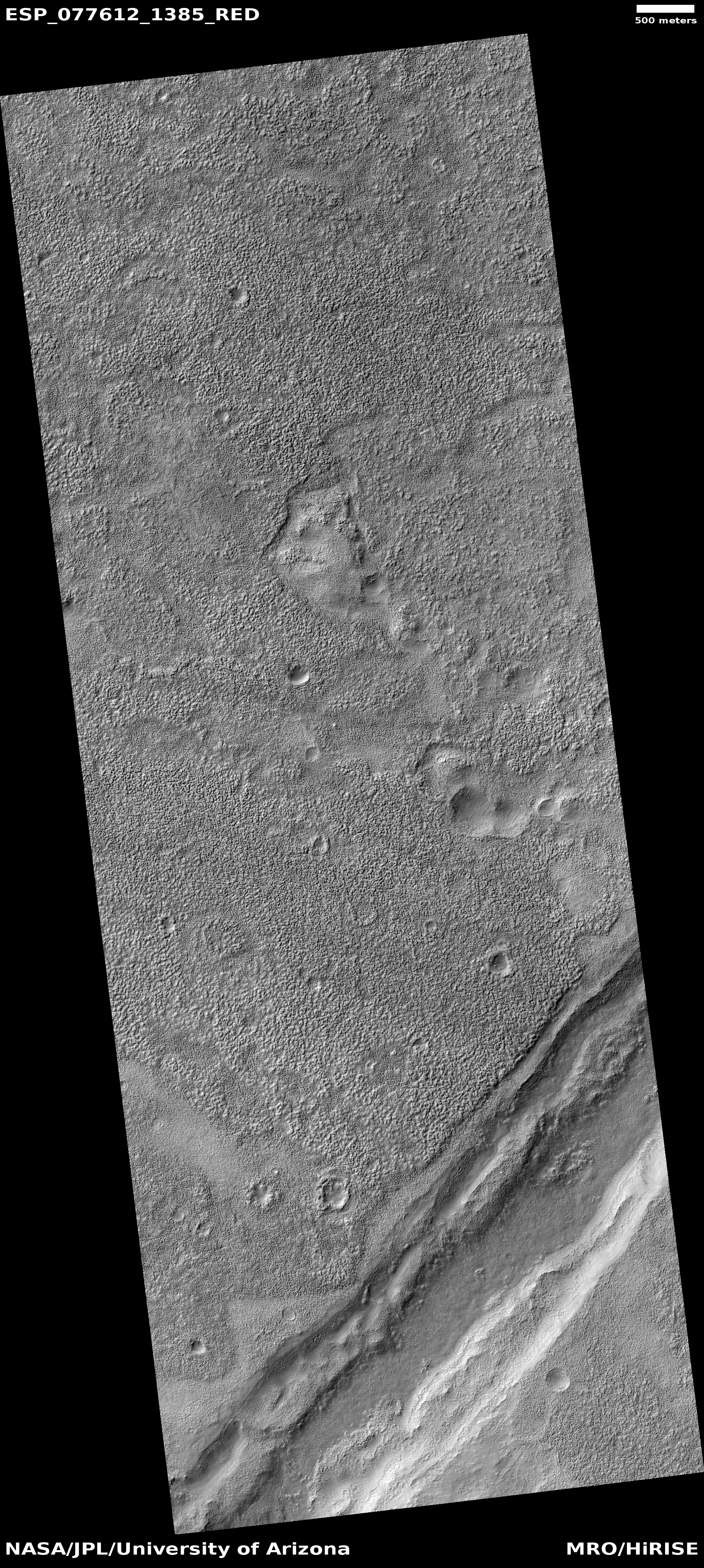
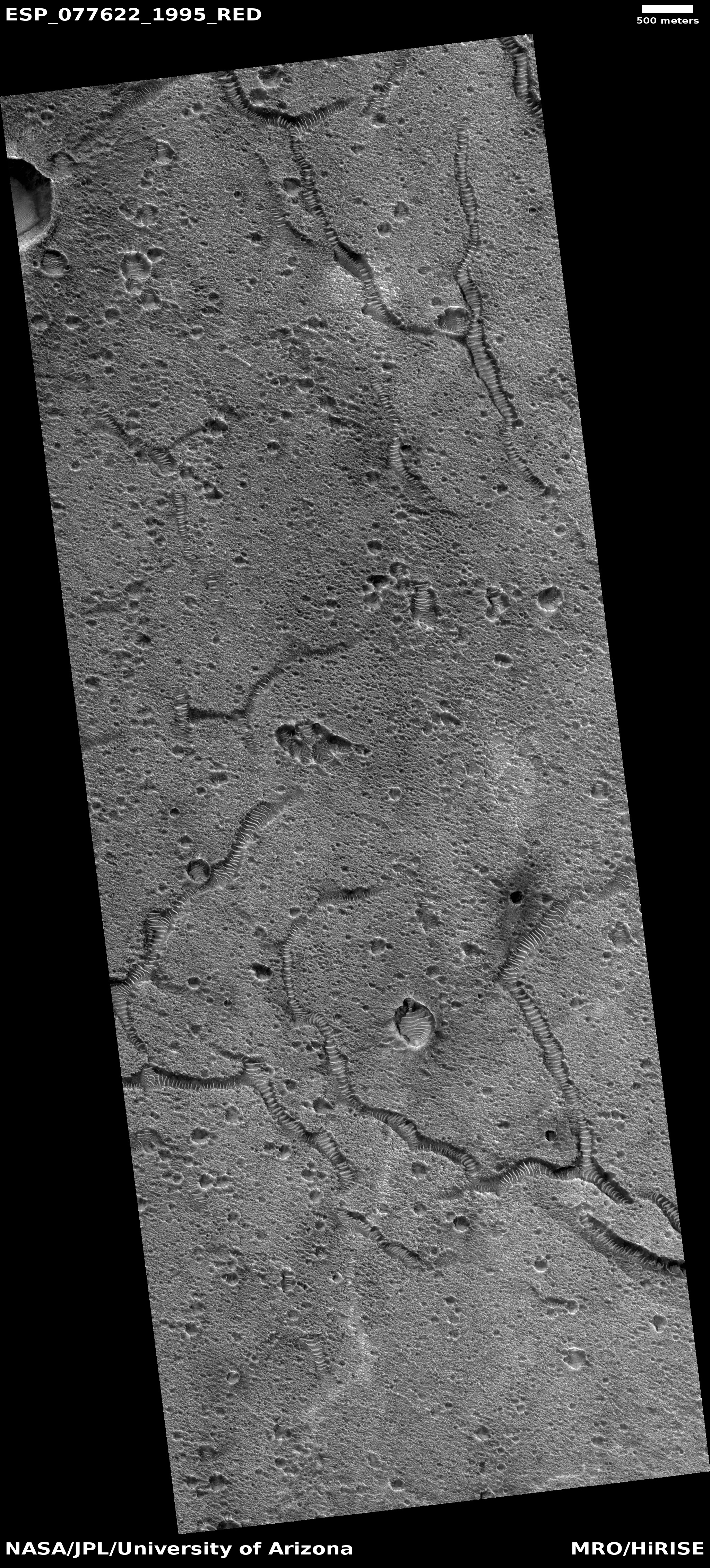
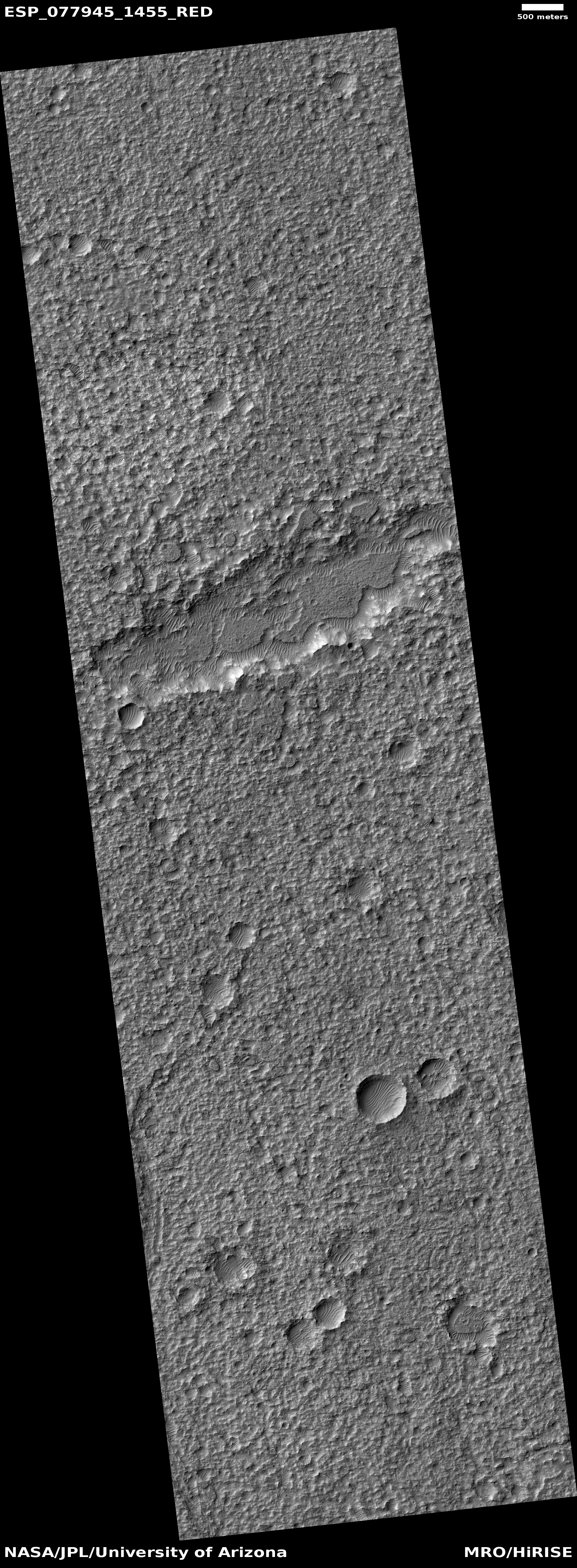
Cool image time! The picture to the right, enhanced, cropped, reduced, and sharpened to post here, was taken on April 1, 2023 by the high resolution camera on Mars Reconnaissance Orbiter (MRO). It shows what the science team labels as “Rough Ground and Bright Exposures” on the flanks of a wide mountain range on Mars, whose highest point is about 4,400 feet higher to the northeast and about 30 miles away.
The arrow indicates the downhill grade. Notice the smooth flat areas that seem to only partially cover much rougher terrain below. To my eye this top layer resembles an Earth glacier that has partly sublimated or melted away, exposing the rougher bedrock below that has been ground and scraped by the glacier previously.
However, this is not on Earth, so assuming it is like an Earth glacier is dangerous.
» Read more