
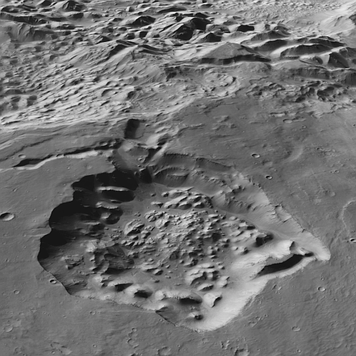
The first glacial evidence found on Mars back in 2007
Click for original image.
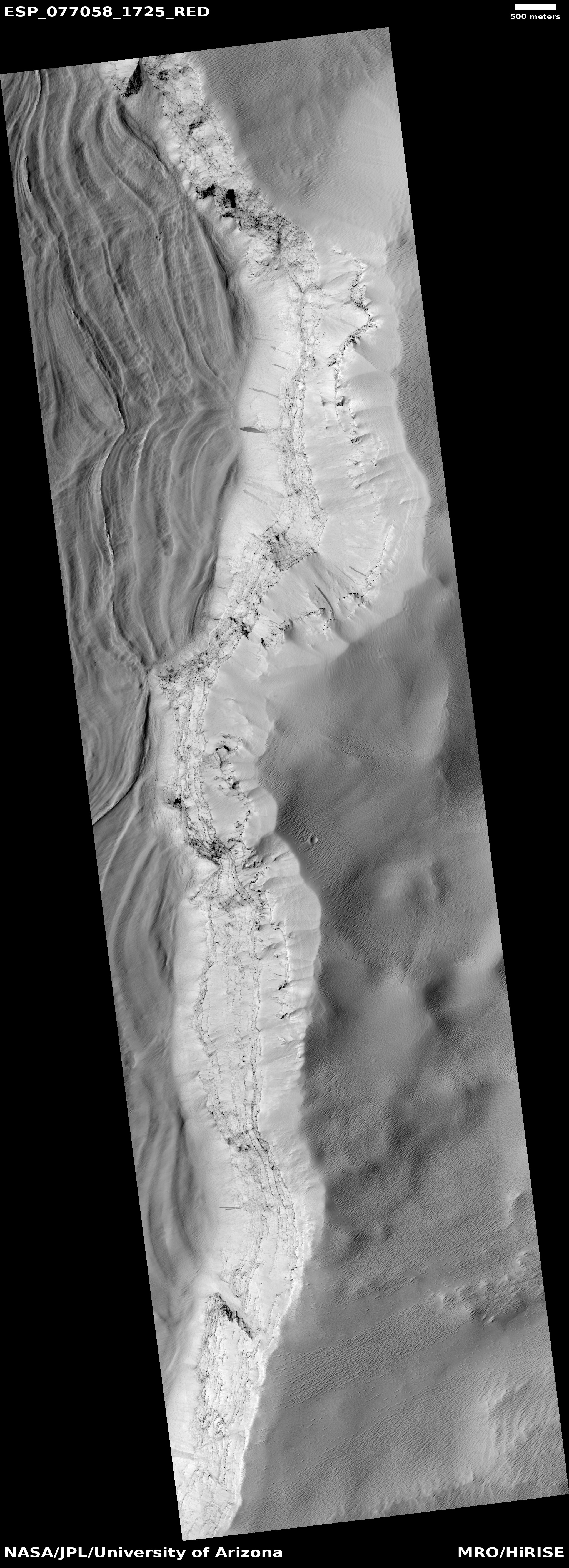
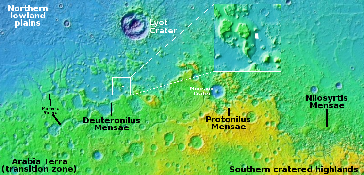
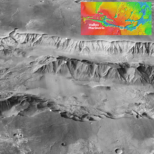
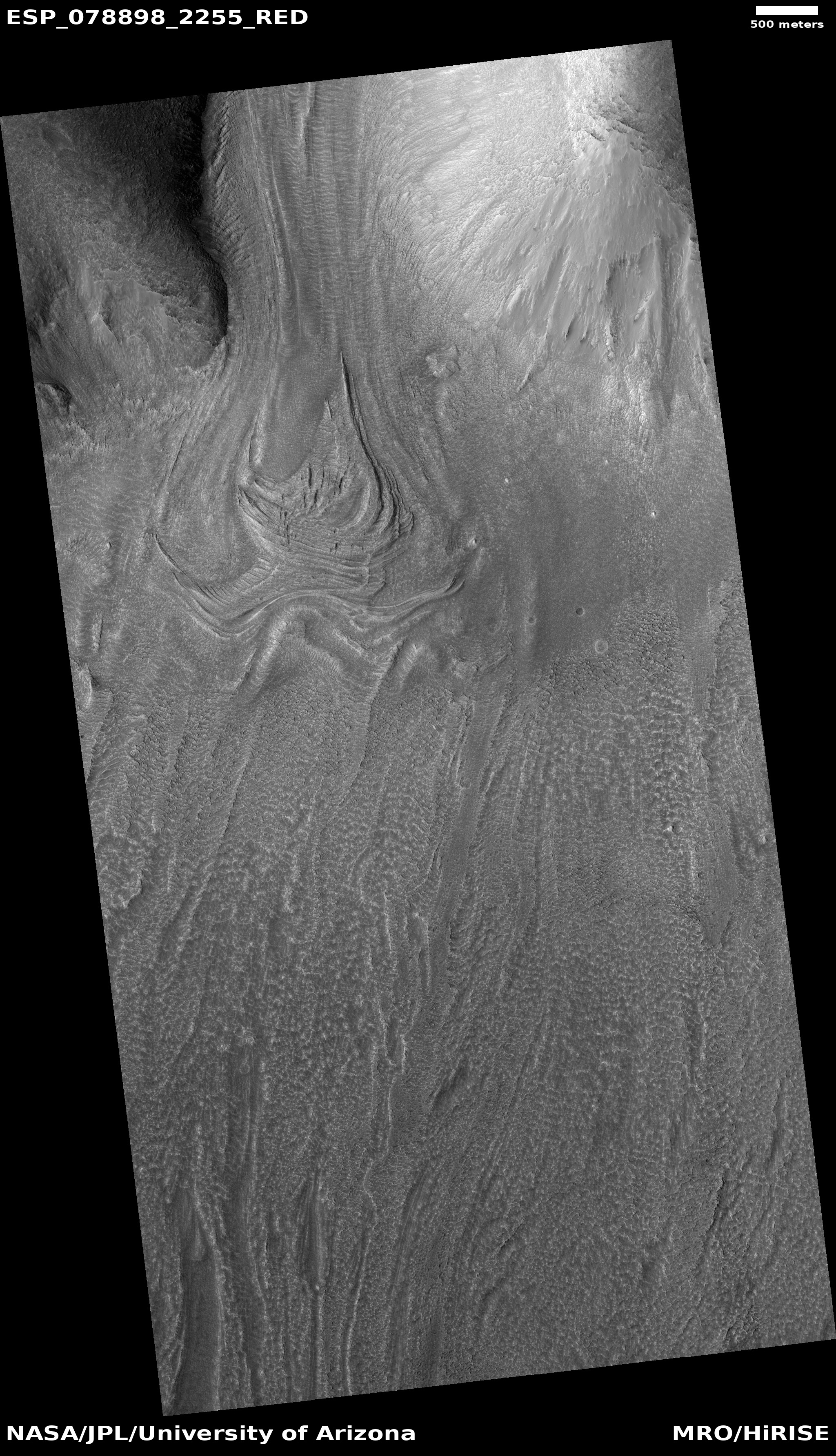
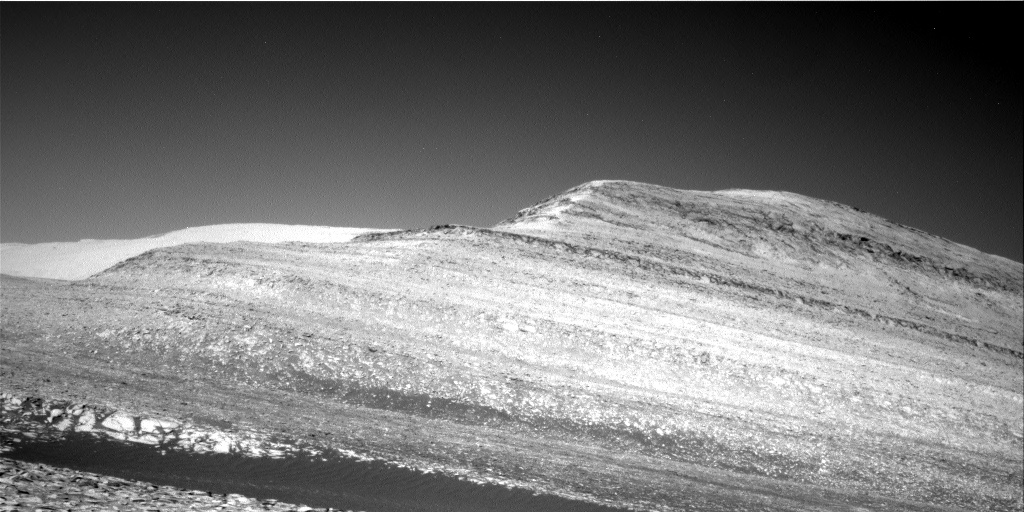
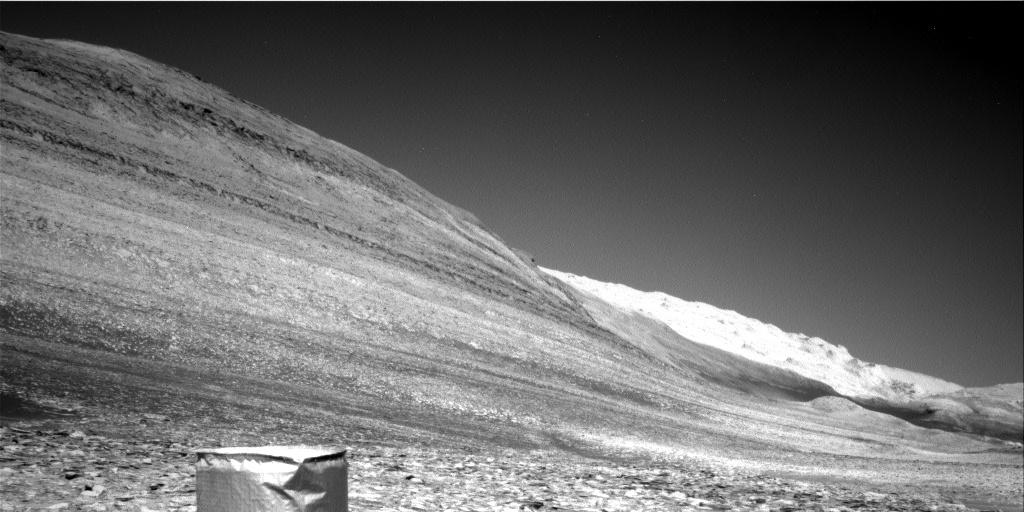
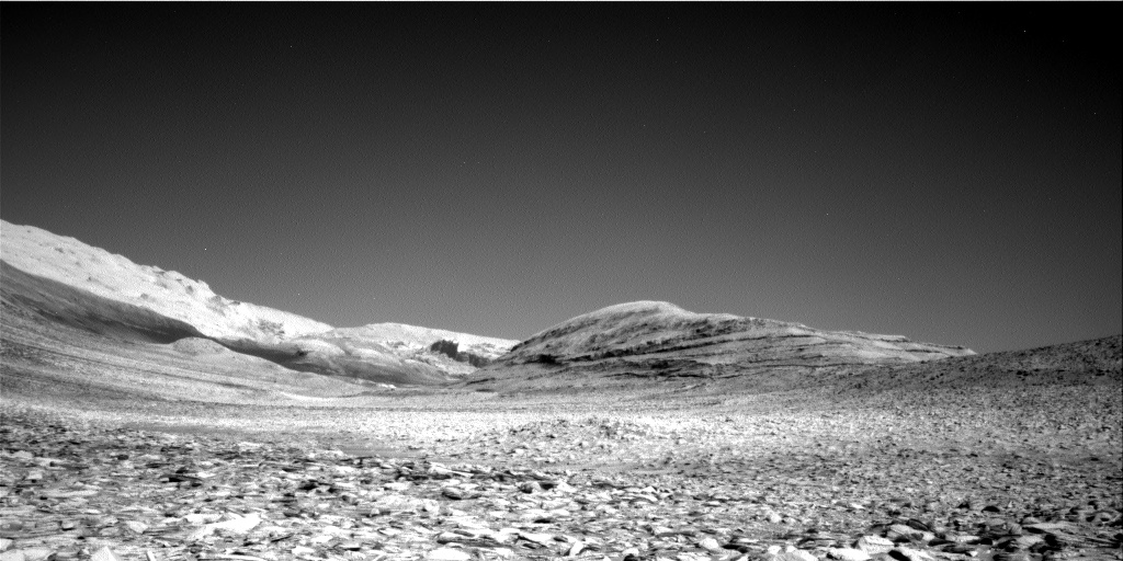
Cool image time! The picture to the right, cropped, reduced, sharpened, and annotated to post here, was taken on January 3, 2023 by the high resolution camera on Mars Reconnaissance Orbiter (MRO). It shows the eastern wall of what the scientists call a graben, a large depression caused when the ground inside the depression suddenly shifted downward.
The elevation difference between the high and low points is about 3,500 feet. The streaks on the lower half of the cliff wall are slope streaks, a phenomenon unique to Mars that remains at this moment unexplained. Though the streaks resemble avalanches, they do not change the topography in any way, have no debris pile at their base, and appear instead to be a stain that appears at random times of the year that fades with time.
What is intriguing about this picture however is the wavelike floor on its western half. At first glance these waves suggest some form of dust dunes or lava flows, but neither conclusion appears correct. Instead, we are looking at what was one of the first discoveries on Mars of what scientists have determined to be glacial features.
» Read more


