
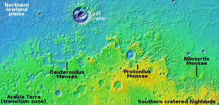
Ingenuity completes 21st flight on Mars
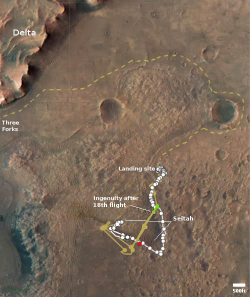
Click for interactive map.
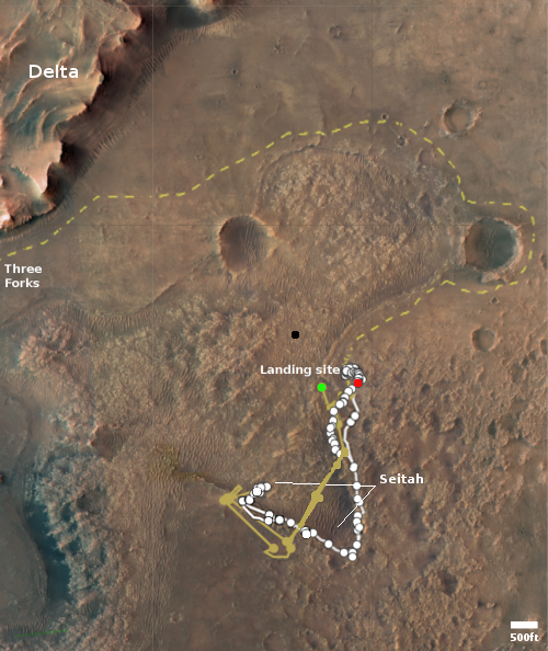
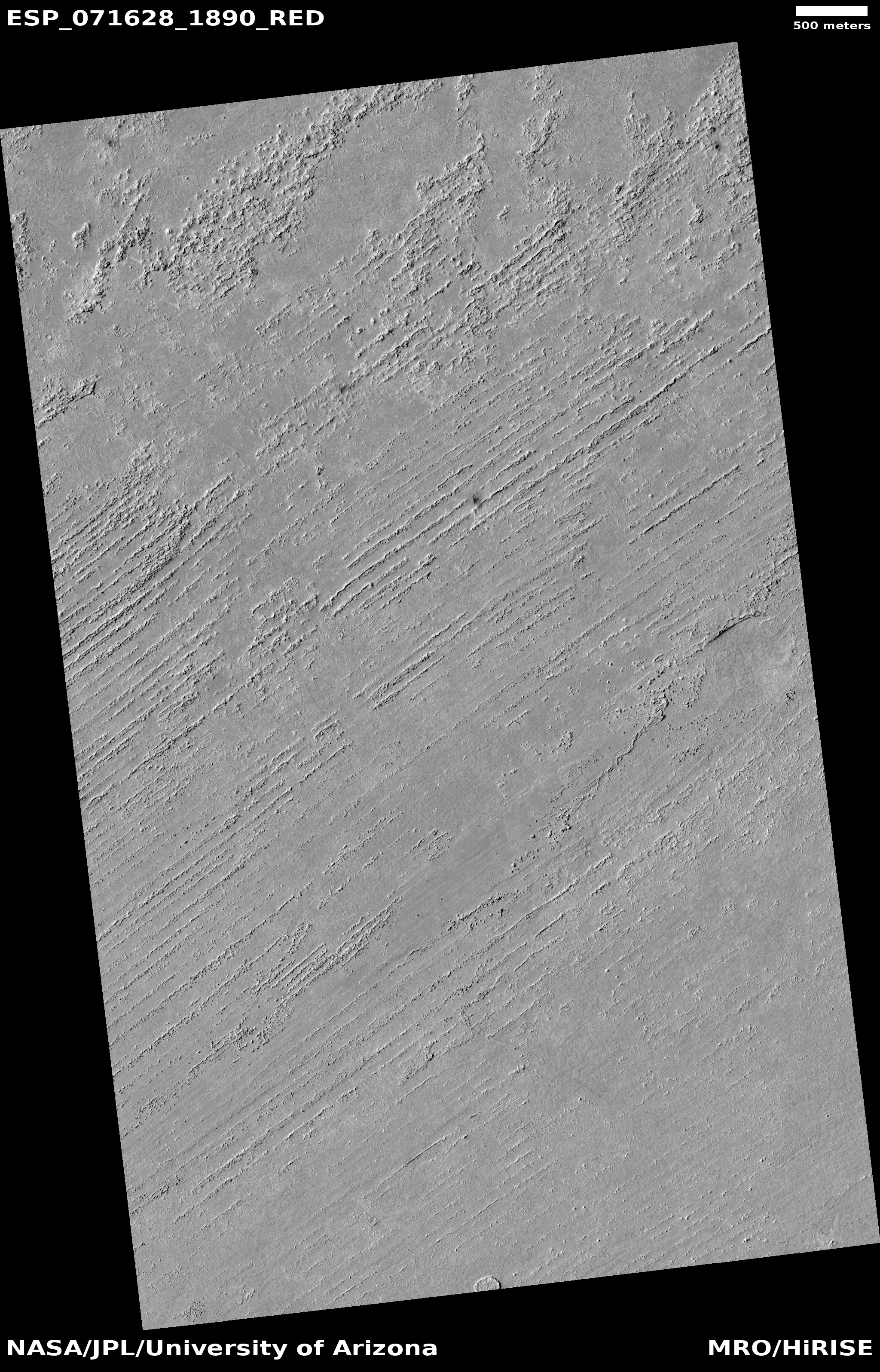
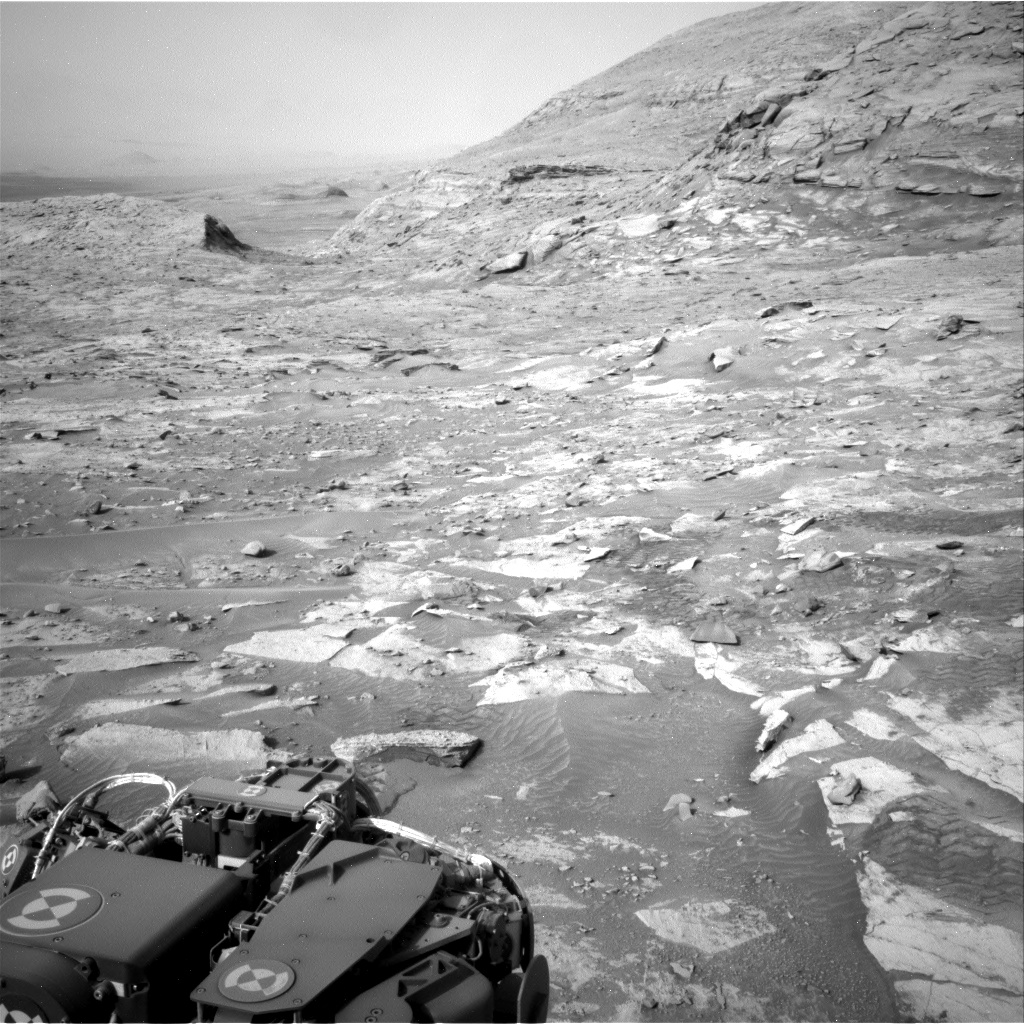
According to a tweet today from JPL, the Mars helicopter Ingenuity has successfully completed its 21st flight on Mars, traveling 1,214 feet in two minutes and nine seconds at an average speed of 12.6 feet per second.
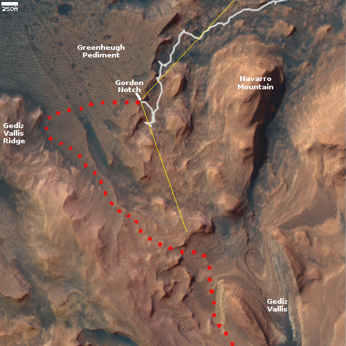
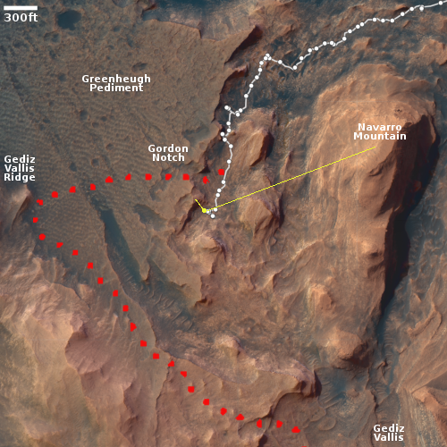
The red dot on the map to the right shows Perseverance’s location as of today. The green dot indicates Ingenuity’s position before the 21st flight. Since neither the Perseverance nor the helicopter teams have posted any updates describing the 21st flight, it is difficult to indicate a precise location for its landing site. All we know is that the helicopter is supposed to fly to the northwest, cutting across the rougher region while the rover follows the tan dotted line around that rough region, with both targeting the delta to the northwest.
As a guess, I have placed a black dot about 1,200 feet to the northwest.
Click for interactive map.
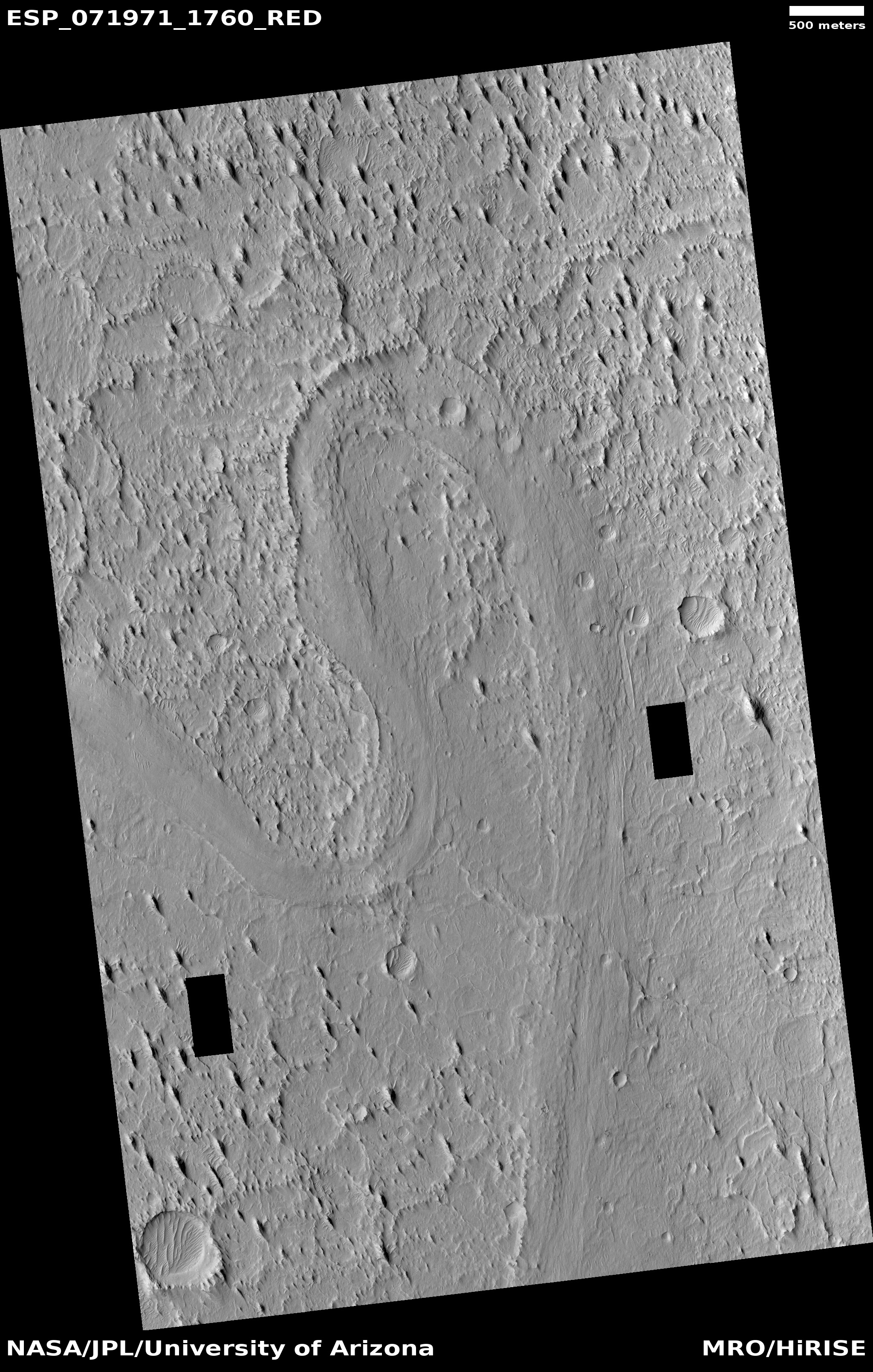
According to a tweet today from JPL, the Mars helicopter Ingenuity has successfully completed its 21st flight on Mars, traveling 1,214 feet in two minutes and nine seconds at an average speed of 12.6 feet per second.
The red dot on the map to the right shows Perseverance’s location as of today. The green dot indicates Ingenuity’s position before the 21st flight. Since neither the Perseverance nor the helicopter teams have posted any updates describing the 21st flight, it is difficult to indicate a precise location for its landing site. All we know is that the helicopter is supposed to fly to the northwest, cutting across the rougher region while the rover follows the tan dotted line around that rough region, with both targeting the delta to the northwest.
As a guess, I have placed a black dot about 1,200 feet to the northwest.


