
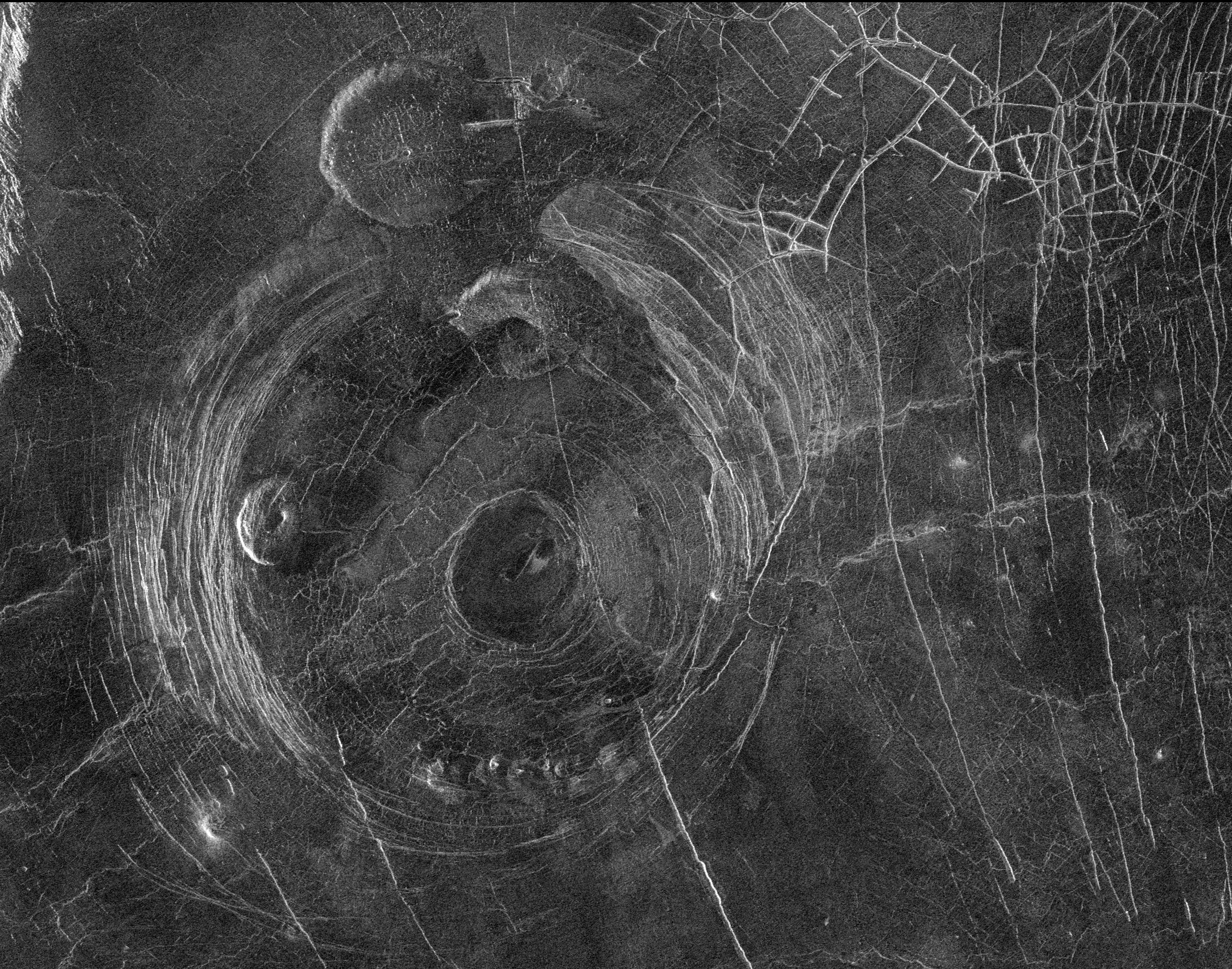
A Martian crater, ice, and dust devil tracks
Click for original image.
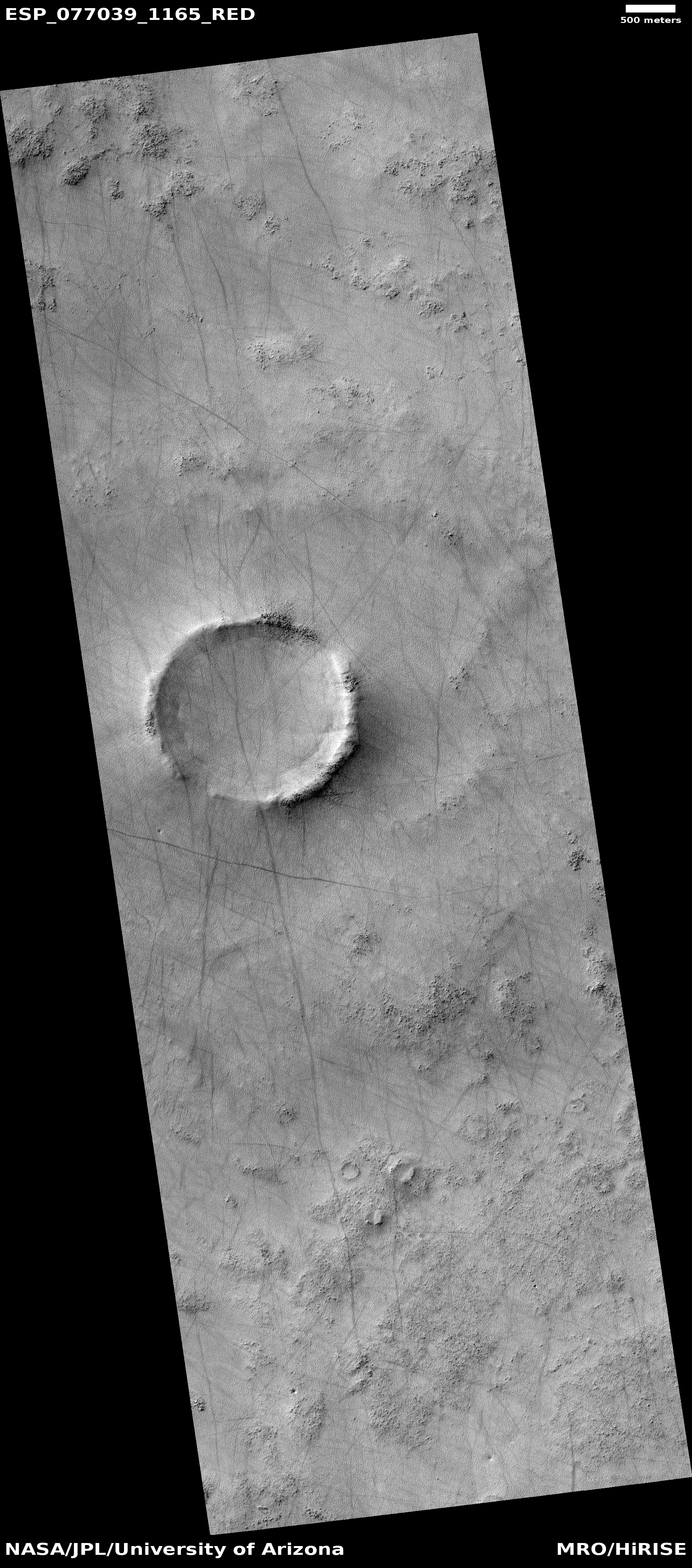
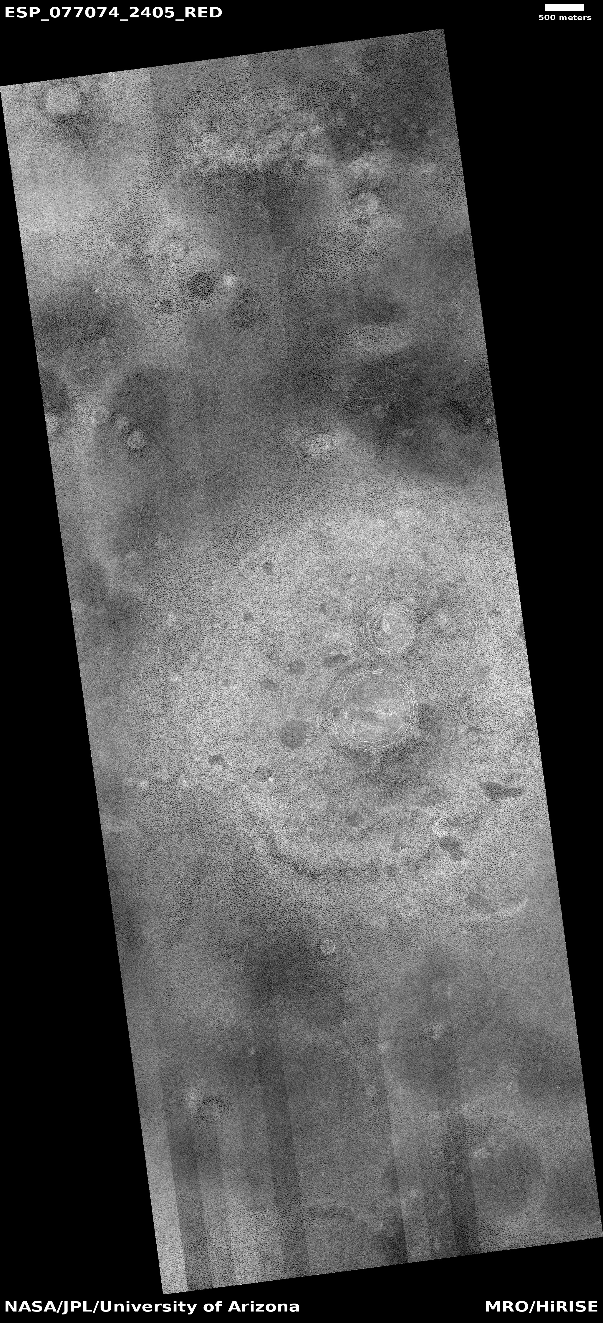
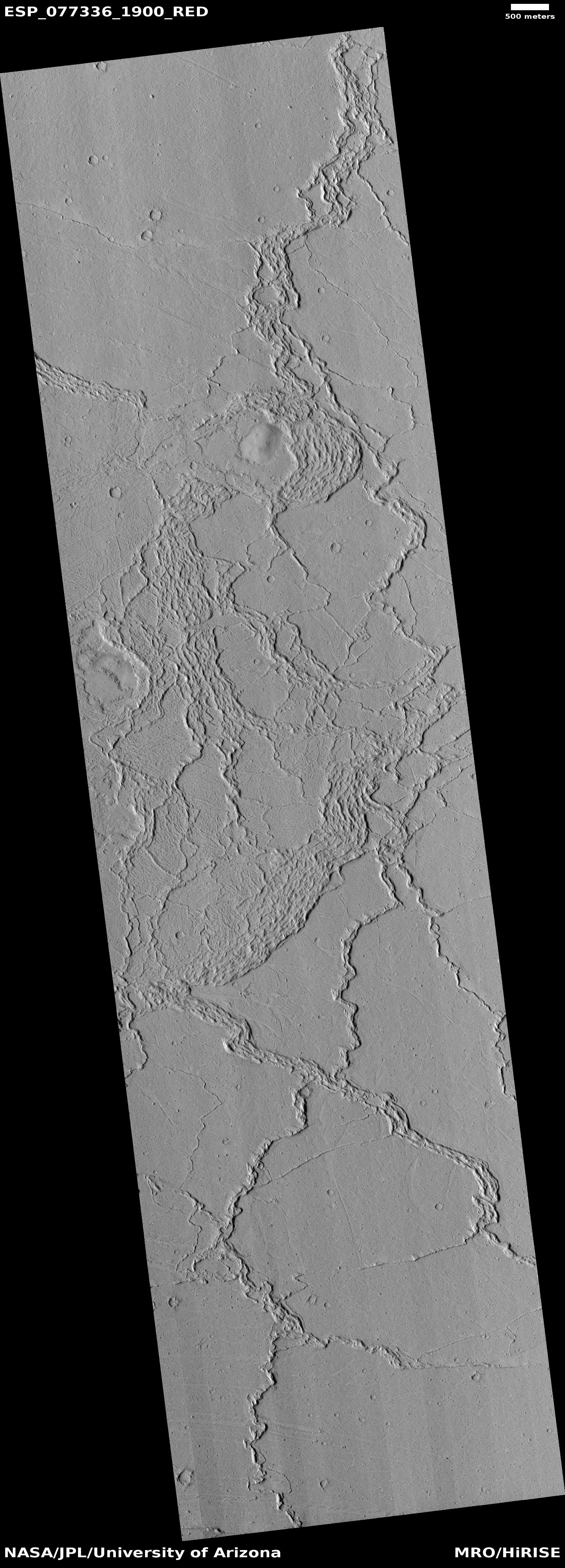
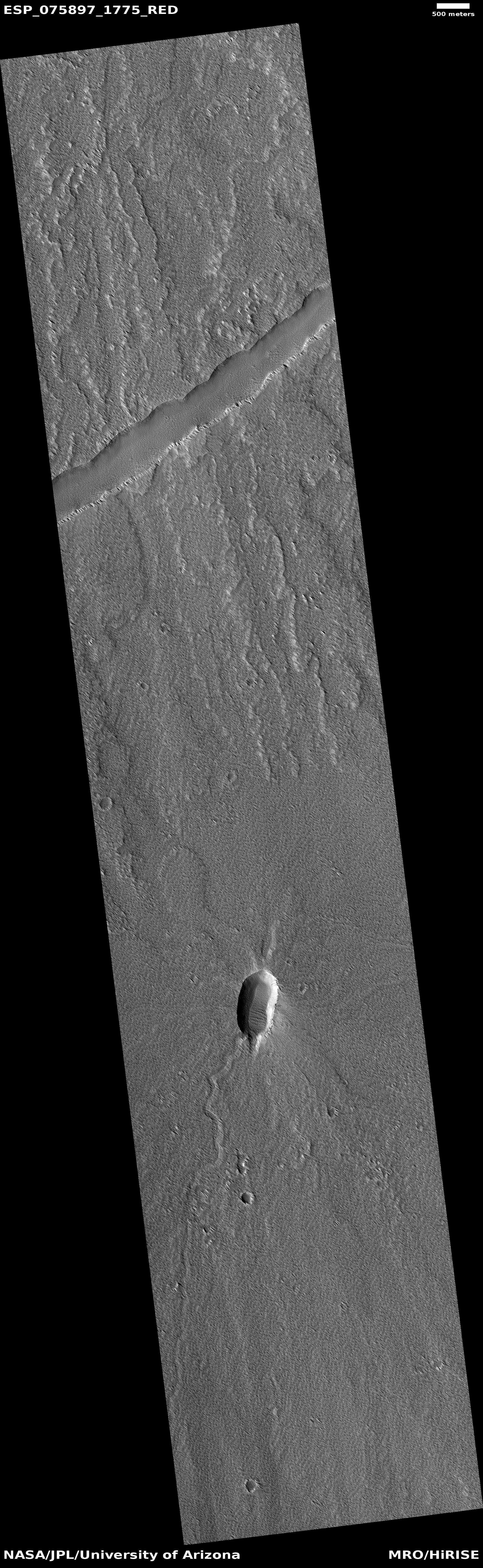
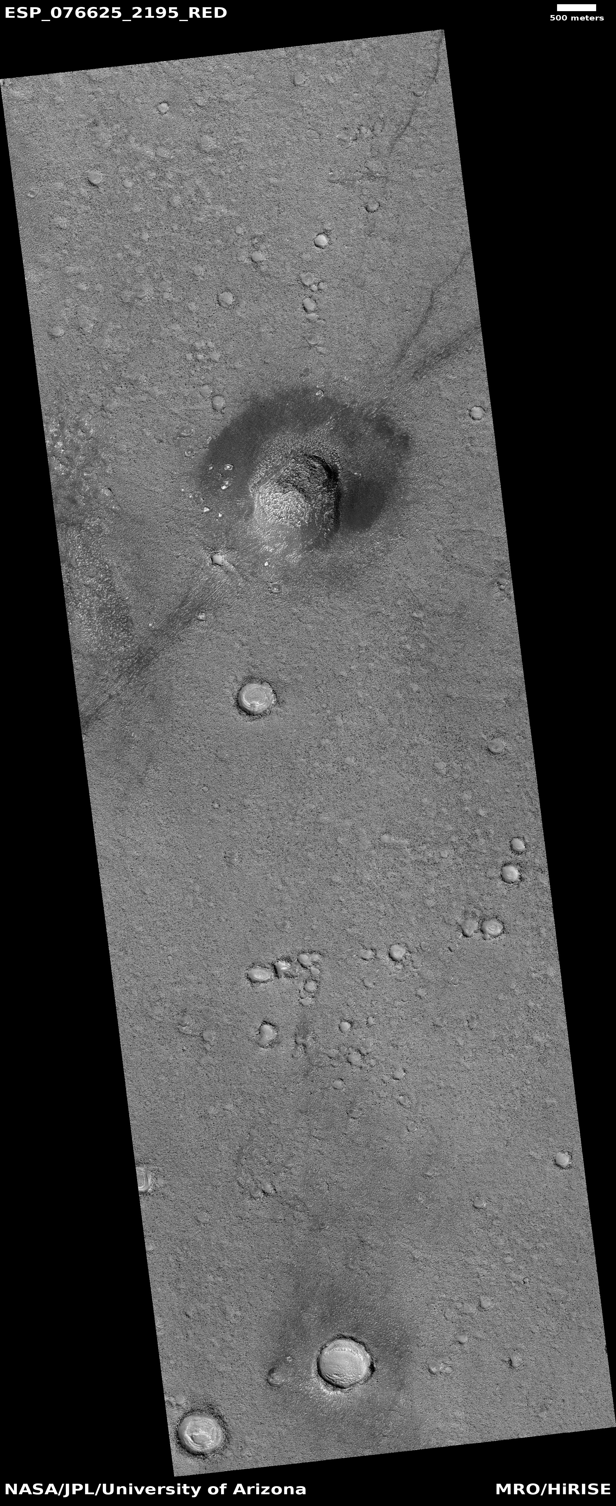
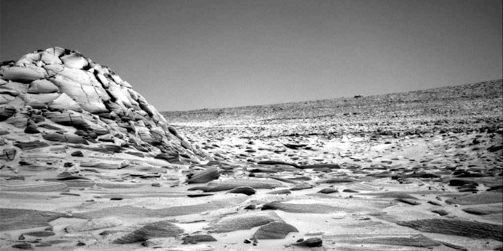
Cool image time! The picture to the right, rotated, cropped, reduced, and sharpened to post here, was taken on January 2, 2023 by the high resolution camera on Mars Reconnaissance Orbiter (MRO). It is once again a terrain sample image, taken not for any specific research but to fill a gap in the schedule so as to maintain the camera’s proper temperature.
What this picture shows is that even though Mars has a thin atmosphere that produces dust devils, the propagation of dust devils is not uniform across the red planet’s surface. In this picture there are a lot of devil tracks, going in many different directions. Yet few of the many cool images I post from MRO show this number of tracks. In many cases the ground might not be agreeable to leaving tracks, but that cannot be the entire explanation.
» Read more


