
Ingenuity completes 36th flight; preps for its 37th
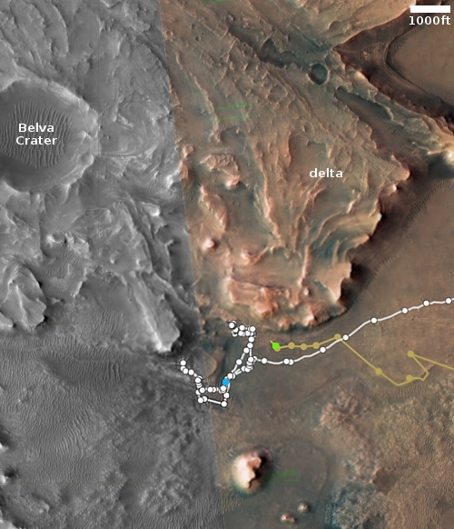
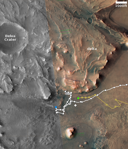
Click for interactive map.
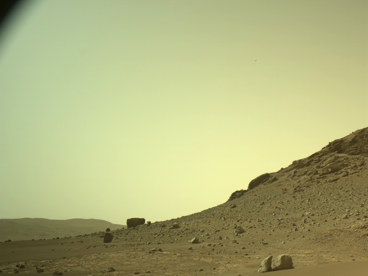
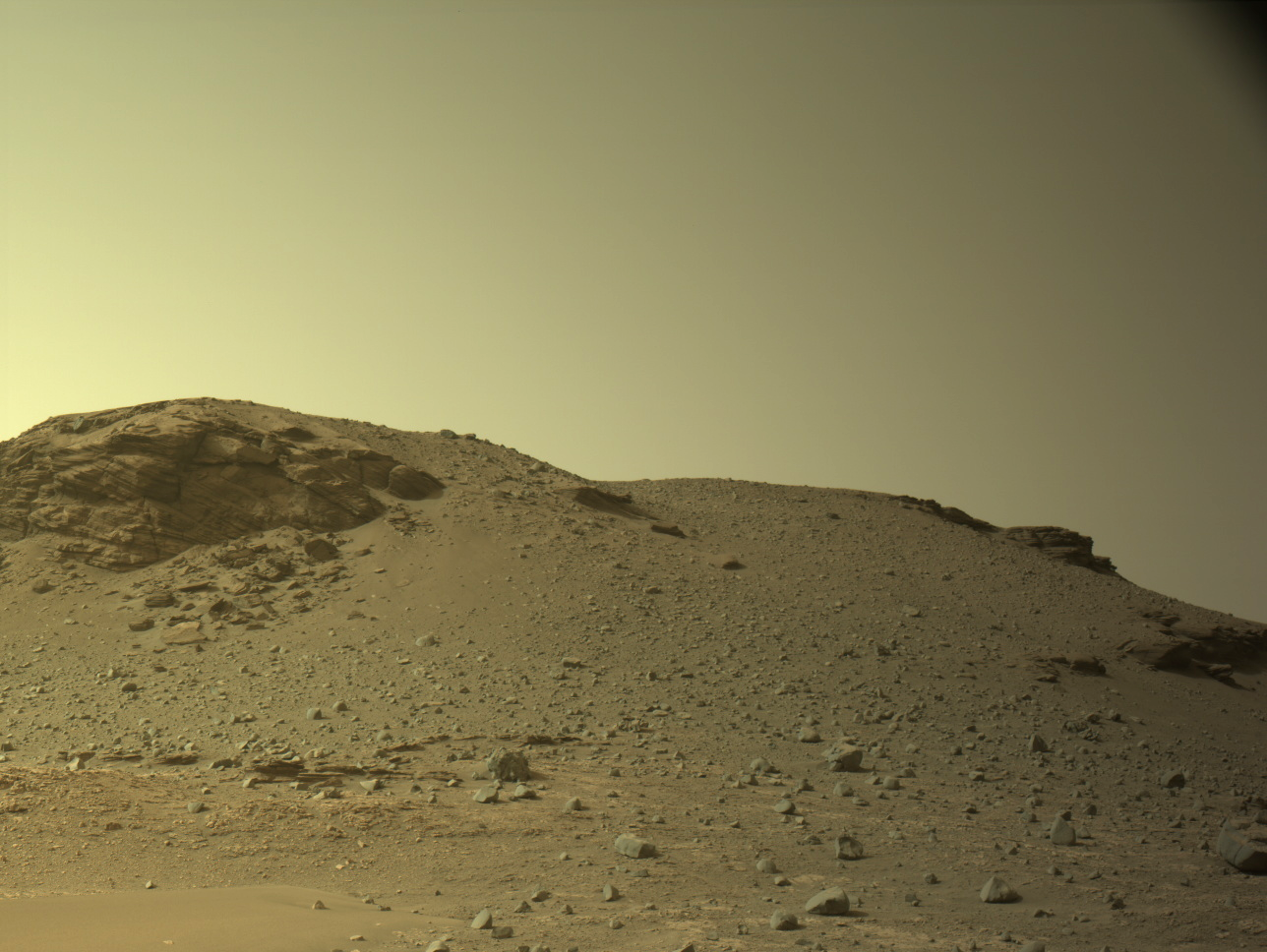
Ingenuity on December 10, 2022 successfully completed 36th flight, flying about 180 feet to the northwest and then returning the same distance to land at its take-off point.
This was the third flight in a row to land at this point, and was also the third flight since the Mars helicopter’s software was upgraded to allow it to fly higher and over rougher terrain.
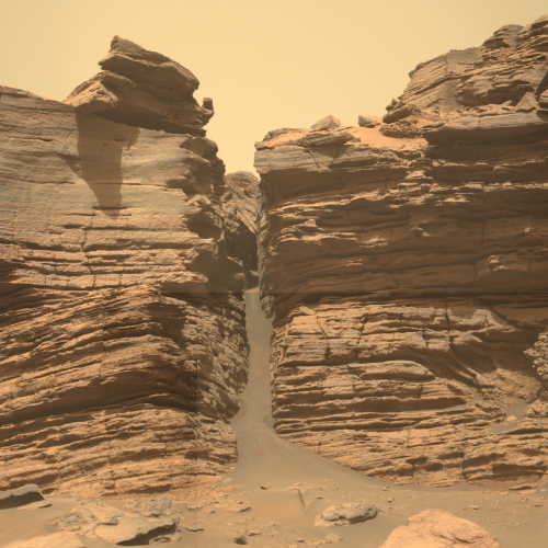
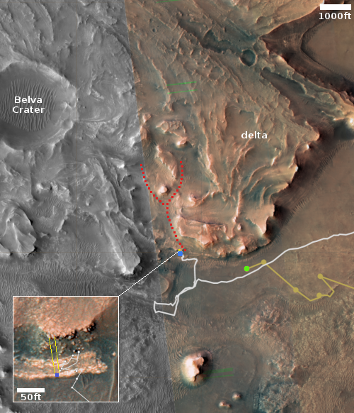
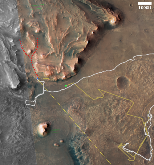
The green dot on the map to the right shows Ingenuity’s present position. The blue dot shows where Perseverance presently sits. The rover has been moving eastward, away from the cliff face to the west where it had gathered more core samples, including the first to contain surface regolith (that is, the dirt of Mars).
Engineers are already planning Ingenuity’s 37th flight, which is scheduled for tomorrow and will reposition the helicopter to a new landing spot.
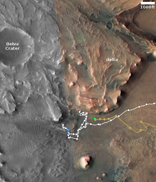
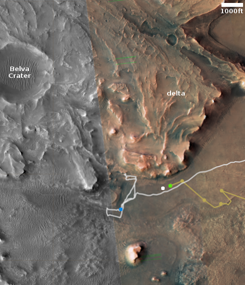
Click for interactive map.
Ingenuity on December 10, 2022 successfully completed 36th flight, flying about 180 feet to the northwest and then returning the same distance to land at its take-off point.
This was the third flight in a row to land at this point, and was also the third flight since the Mars helicopter’s software was upgraded to allow it to fly higher and over rougher terrain.
The green dot on the map to the right shows Ingenuity’s present position. The blue dot shows where Perseverance presently sits. The rover has been moving eastward, away from the cliff face to the west where it had gathered more core samples, including the first to contain surface regolith (that is, the dirt of Mars).
Engineers are already planning Ingenuity’s 37th flight, which is scheduled for tomorrow and will reposition the helicopter to a new landing spot.


