
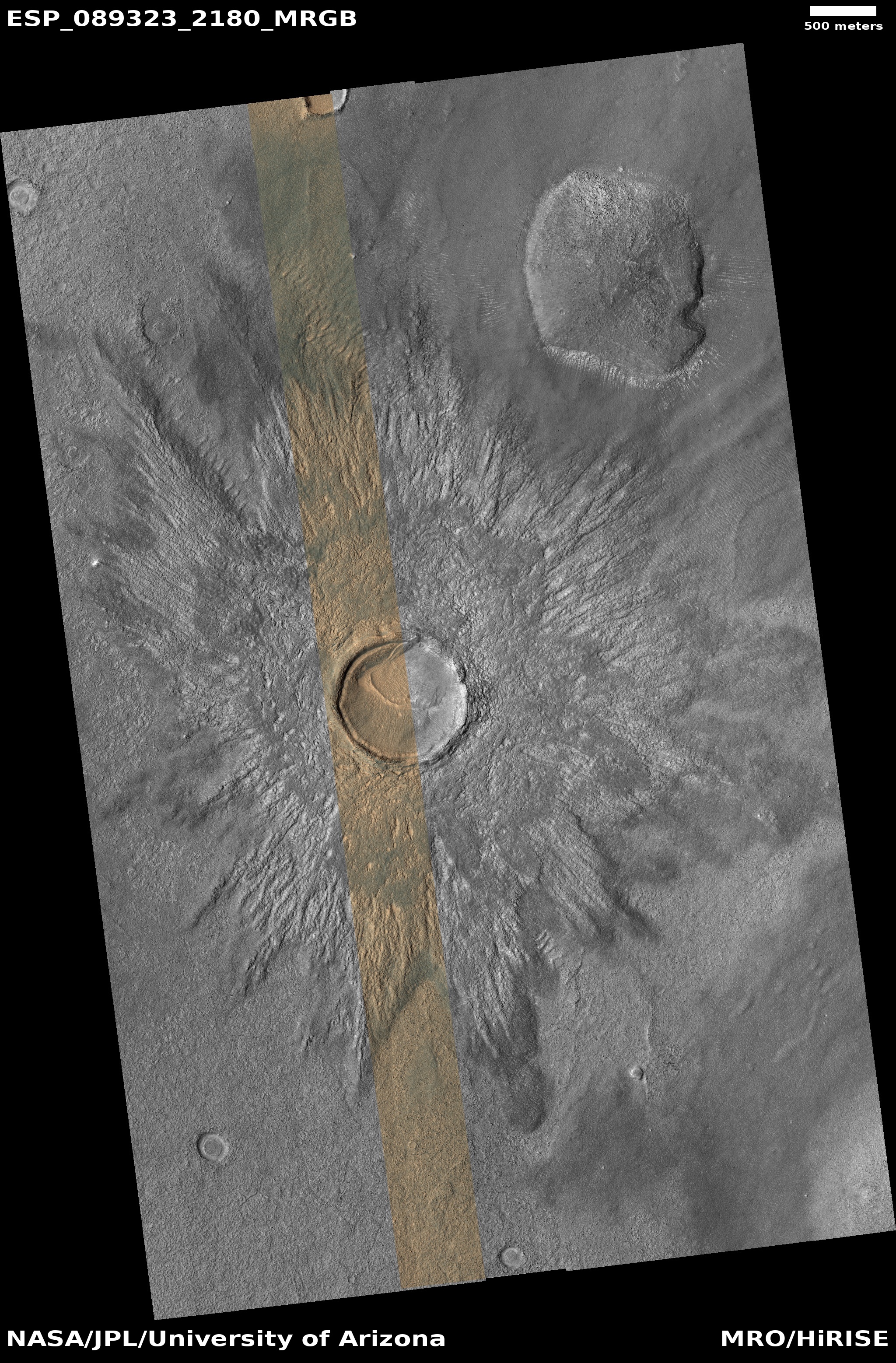
A “thermal anomaly” in young Martian lava

Click for original image.
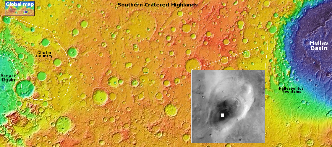
Cool image time! The picture to the right, cropped and reduced to post here, was taken on May 1, 2026 by the high resolution camera on Mars Reconnaissance Orbiter (MRO).
The science team labels this picture “Thermal Anomaly in Young Lava Flows”. The anomaly, indicated by the arrow, is the distinctly blue floor of the unnamed small 300-foot-wide crater about a third of a mile east of that 30-foot-high mesa. According to MRO guidelines [pdf] for interpreting the colors the camera produces:
Frost and ice are also relatively blue, but bright, and often concentrated at the poles or on pole-facing slopes. Some bedrock is also relatively bright and blue, but not as much as frost or ice, and it has distinctive morphologies.
The guidelines say more, but based on this information it suggests the floor of that crater is unusually cold, able to hold frost and ice. The picture was taken during the Martian winter, so seeing frost inside this crater at this time is possible, though its location, deep inside the dry equatorial regions of Mars where no near surface ice is generally found, tells us that if this is frost, it is truly unusual, deserving the description of “an anomaly.”
» Read more


