
The mad mountains of Mars

Click for original image.
Click for interactive map
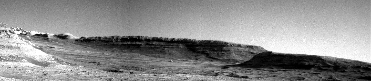
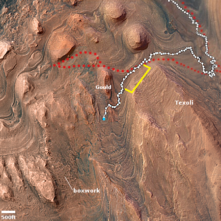
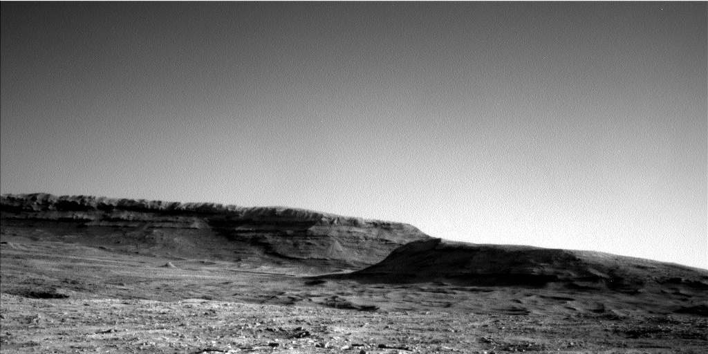
Cool image time! The picture above, cropped to post here, was taken on June 10, 2025 by the high resolution camera on the Mars rover Curiosity, and shows some of the stranger terrain found higher up the flanks of Mount Sharp in Gale Crater.
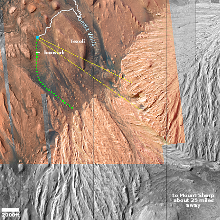
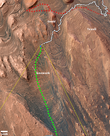
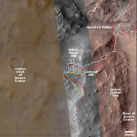
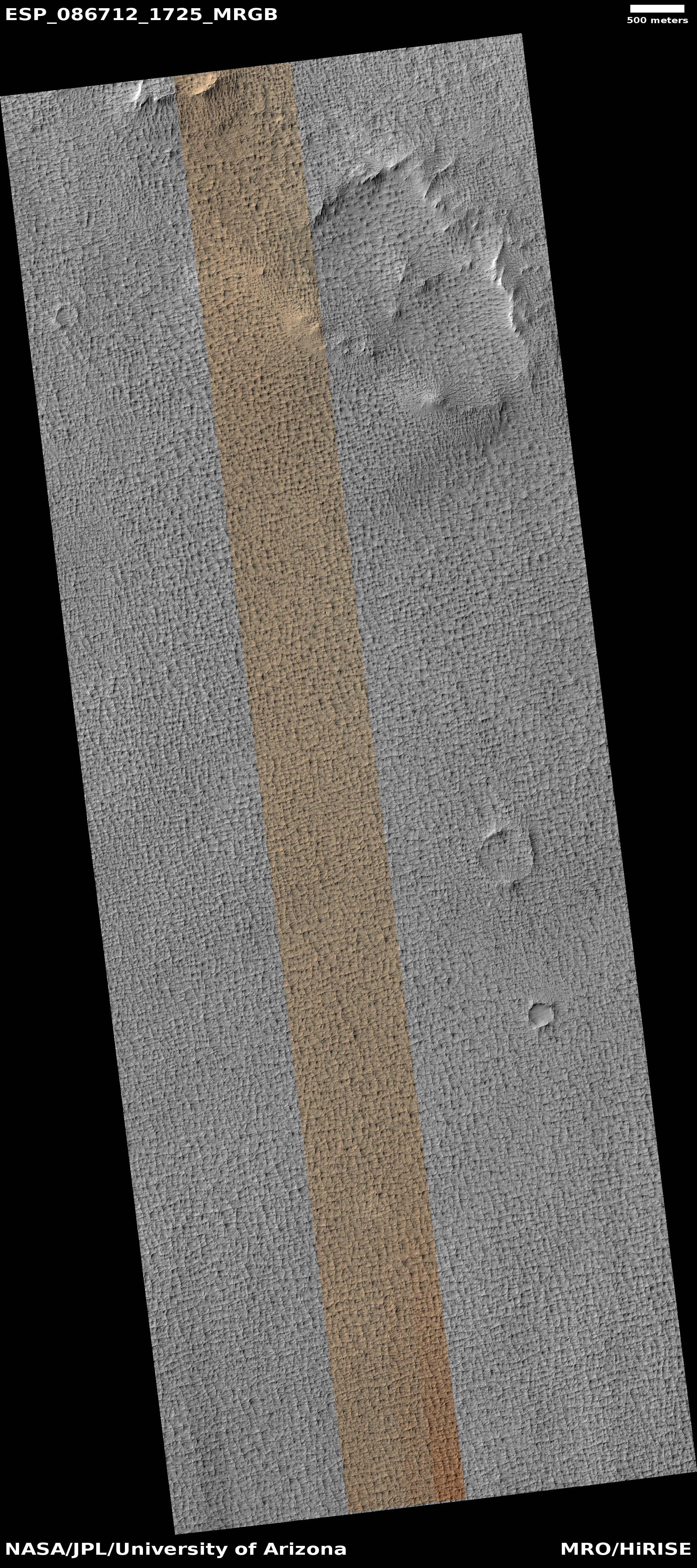
The blue dot on the overview map to the right marks Curiosity’s present position, where it is doing another drilling campaign into the first boxwork geology it has encountered. The white line marks its past travels, while the green dotted line its planned route.
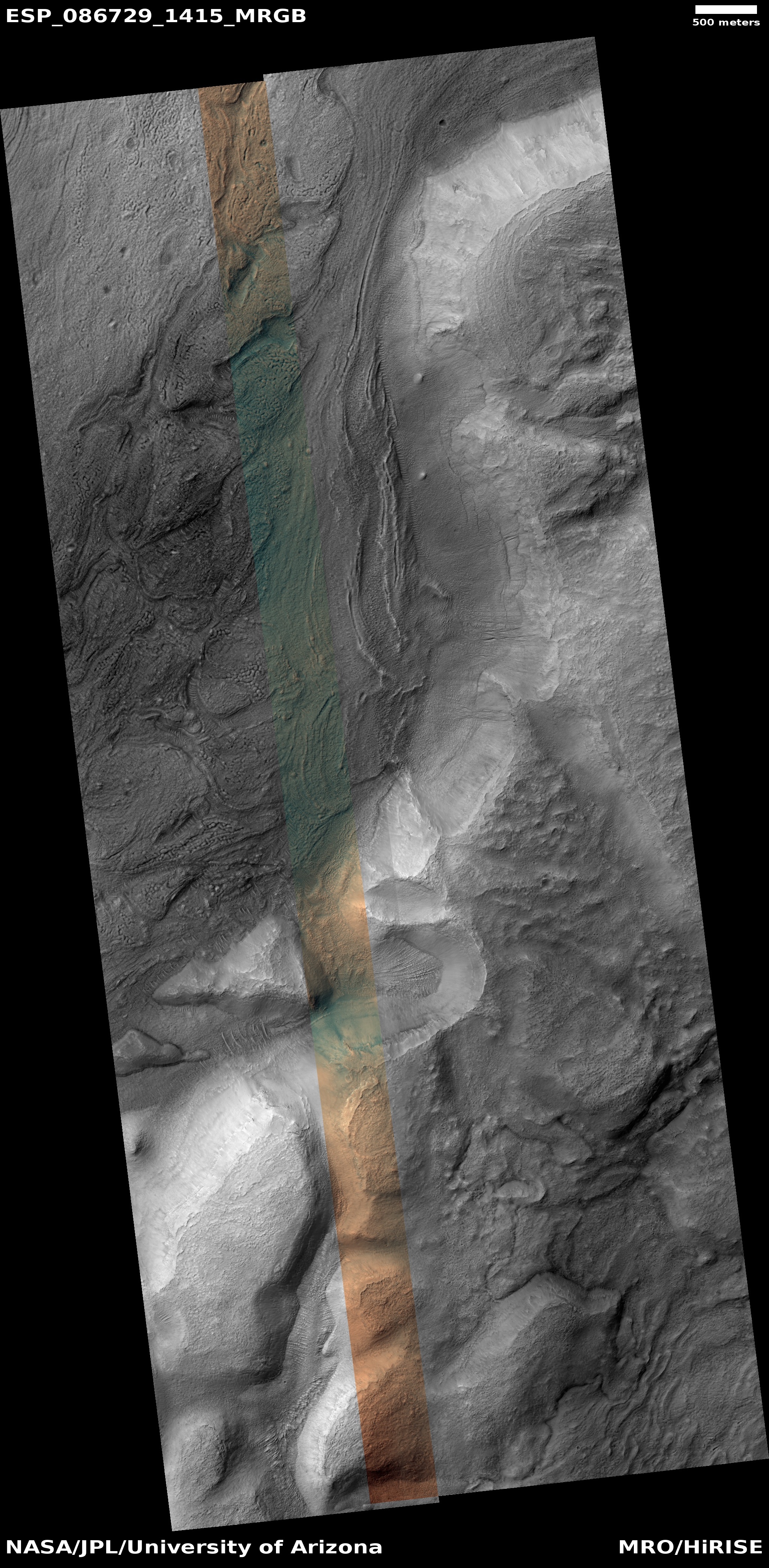
The yellow lines indicate the area seen in the picture above. The wild mountain peaks on the horizon are part of the sulfate-bearing unit that appears very bright in the overview map. The material that makes up this terrain appears to be very easily eroded, based on its features as seen from orbit, as well as Curiosity’s distant view. Whether that erosion was wind, water, or ice, remains undetermined, and is the main question Curiosity will attempt to answer once it gets there, likely in a year or so.
Regardless, the landscape appears almost like it soft sand being washed away.
Where the rover will go next the science team has not yet decided. It will definitely continue uphill, but they do not yet know the route they will take through that sulfate-bearing unit.


