ExoMars successfully completes long mid-course burn

ExoMars 2016, the European/Russia orbiter/lander mission on its way to Mars, successfully completed a 52 minute mid-course engine burn today in preparation for its October 19th arrival at Mars.

Officially known as the deep-space maneuver, DSM, it was the longest engine burn for the ExoMars-2016 mission before the Mars orbit insertion on October 19, 2016. As a result of the July 28 orbit correction, the spacecraft will need less propellant during its maneuvers in the vicinity of the planet and the Schiaparelli lander will experience slightly less thermal loads during its planned entry into the Martian atmosphere.

6 comments

NASA guesses SpaceX’s Dragon-Mars mission will cost $300 million

At a meeting of NASA’s Advisory Council yesterday a NASA official estimated that SpaceX will probably spend about $300 million on its Dragon mission to Mars.

Asked by the committee how much SpaceX was spending, Reuter indicated that the companyโ€™s investment was 10 times that of NASA. โ€œThey did talk to us about a 10-to-1 arrangement in terms of cost: theirs 10, ours 1,โ€ he said. โ€œI think thatโ€™s in the ballpark.โ€ Given NASAโ€™s investment, that implies SpaceX is spending around $300 million on Red Dragon.

SpaceX has not disclosed its estimated cost of the mission, or how it will pay for it. โ€œI have no knowledgeโ€ of how the company is financing the mission, Reuter said when asked by the committee.

I suspect that the guess is significantly wrong. NASA is providing $32 million. SpaceX plans to charge customers $90 million for a single Falcon Heavy launch, which means its cost for that launch is likely half that, say $45 million. That adds up to $77 million. The cost for a Dragon capsule is not even close to $223 million, which is what remains if NASA’s guess is right, which based on this rough estimate I seriously doubt. I would bet that a single Dragon probably costs far less than $20 million. Remember, they are nothing more than basic manned capsules, and SpaceX is building enough of them to almost have an assembly line going.

So, let’s round up and say that the cost for the mission is really about $100 million (including NASA’s contribution). Other costs, such as the staff to run the mission for at least a year, will increase this cost, but not enough to bring the total to NASA’s guess of $300 million. I suspect that SpaceX will not spend anything close to $100 million of its own money for this Dragon mission to Mars.

All in all, this amount of investment seems reasonable, based on the scale of costs in the launch industry. And SpaceX’s willingness to invest some of its own money for this mission is probably wise. In publicity alone it is priceless.

9 comments

Curiosity’s way forward

Panorama with balanced rock

As Curiosity moves up into the foothills of Mount Sharp the terrain is getting increasingly interesting. The image above is a panorama I have created from three Left Navigation Camera images posted here on Sunday evening. It shows what I think will be the general direction mission scientists wish to send Curiosity. (Note that the top of the leftmost mesa is not as flat as shown, as its top was cut off in the original image.)

Below is a Mars Reconnaissance Orbiter image showing Curiosity’s present position from above. I have annotated it to show the general view as shown in the above image. I have also marked on both the location of the balanced rock first photographed on July 7.
» Read more

1 comment

A glacier on Mars

A glacier on Mars

Cool image time! The image on the right, cropped and reduced in resolution, is a Mars Reconnaissance Orbiter picture taken on March 28, 2016 of a glacial flow coming down off of mountains in Mars’ northern mid-latitudes. The mountains are to the south and beyond the bottom right. The flow is to the northwest. The full image can be found here. As noted on the image site,

These flow-like structures were previously called โ€œlobate debris aprons,โ€ but the Shallow Radar (SHARAD) instrument on [Mars Reconnaissance Orbiter] has shown that they are actually debris-covered flows of ice, or glaciers. There is no evidence for present-day flow of these glaciers, so they appear to be remnants of past climates.

Need I say it? This is water, on Mars, and in abundance. Think that this might be good real estate when those first settlers arrive?

1 comment

Route to Balanced Rock

Route to Balanced Rock on Mars

The image above is a panorama I have created from the raw images taken by Curiosity’s left navigation camera today, using this image for the left half and this image for the right half. They show the terrain in front of the rover, including the balanced rock on the horizon, indicated by the arrow.

I have no idea what route the science team plans, but looking at all of the images, as well as their desire to get a closer look at the rock, I suspect they will head up to the left on the smoother ground, aiming almost directly at the balanced rock. I also suspect that they will eventually veer right before getting to the rock, since the rover can’t go over the rough terrain in that area. Stay tuned to find out.

4 comments

More bright spots on Ceres

More bright spots on Ceres

Cool image time! The most recently released Dawn image of Ceres, cropped on the right, included these bright streaks running down the side of an unnamed crater. They are especially intriguing because they so much resemble the seepage lines scientists have found on slopes on Mars. On Mars the lines appear to come and go on a seasonal basis, while on Ceres they appear to have been caused by a one-time event, after which not much has changed. In both cases, however, they appear to be caused by some liquid seepage that came from below the surface.

0 comments

Balanced rock on Mars

Balanced rock on Mars

Cool image time! Prior to going into safe mode Curiosity’s mast camera took a series of images of its surroundings, as is routine as the rover travels. Among those images was the image above, though I have cropped it and reduced its resolution to show here. It reveals a balanced rock on the horizon. It also shows, as do the other survey images, how increasingly rough the terrain is becoming that Curiosity is traveling through.

The Curiosity science team has no intention of getting too close to this rough terrain, but they do hope to get better views of this rock as they continue the rover’s journey uphill.

1 comment

Curiosity in safe mode

For the first time in three years, Curiosity has entered safe mode.

On July 2, Mars rover Curiosity ceased science operations on the slopes of Mount Sharp after a fail safe was tripped, forcing the nuclear-powered robot into a low-power “safe mode.” According to a NASA Jet Propulsion Laboratory report, preliminary information communicated by Curiosity suggests an “unexpected mismatch between camera software and data-processing software in the main computer” may have been the culprit and the rover’s automated systems took over, preventing any permanent damage from being caused.

They are in communications with the rover, and expect a full recovery.

0 comments

Weird dunes on Mars

Weird dunes on Mars

Cool image time! The image on the right, cropped and reduced in resolution to fit here, shows an area of inexplicable dark dunes located in Mars’ high northern latitudes. Located in a circular depression (whose outline can be seen across the top and left side of the image), geologists only partly understand the processes producing these dunes. As the noted on the release webpage:

However, a circular depression (probably an old and infilled impact crater) has limited the amount of sand available for dune formation and influenced local winds. As a result, the dunes here form distinct dots and dashes. The โ€œdashesโ€ are linear dunes formed by bi-directional winds, which are not traveling parallel to the dune. Instead, the combined effect of winds from two directions at right angles to the dunes, funnels material into a linear shape. The smaller โ€œdotsโ€ (called โ€œbarchanoid dunesโ€) occur where there is some interruption to the process forming those linear dunes. This process is not well understood at present and is one motivation for HiRISE to image this area.

Be sure to look at the full image, as it covers a wider area and shows dunes that travel in all directions, forming mazelike patterns that no theory presently explains.

3 comments

Our limited understanding of the Martian climate through time

The uncertainty of science: Annual Reviews periodically publishes papers providing a detailed scientific review of the present state of knowledge in a variety of fields. They do this by collecting the papers in volumes focused on general areas of research, such as Astronomy and Astrophysics, Plant Biology, and even Sociology.

Today I received the announcement of the publication of the 44th volume of the Annual Review of Earth and Planetary Sciences, listing the volume’s table of contents. While there were many interesting papers on a variety of planetary subjects that interested me (“The climate of Titan,” “Impacts of Climate Change on the Collapse of Lowland Maya Civilization,” and “The Lakes and Seas of Titan”), one paper in particular, entitled “The climate of early Mars”, intrigued me enough after reading the abstract to download it and read it in its entirely. (As a science journalist I have free access to the full text of these papers. While the abstract is free to all, if you wish to read the full text you need to either buy it, or visit a university library that subscribes to each particular series.)

As a review I found the paper quite fascinating. It provided an excellent overview of our present understanding of Mars’s climate history, information that is especially useful to me in reporting on the results from the various Martian orbiters and rovers, as it gives me a wider context and allows me to better understand and analyze each press announcement. This in turn allows me to distinguish between a real discovery of some importance and a garbage press release that is really nothing more than a sales pitch for more funding.

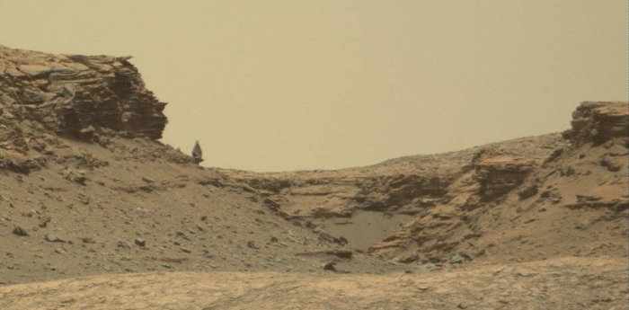
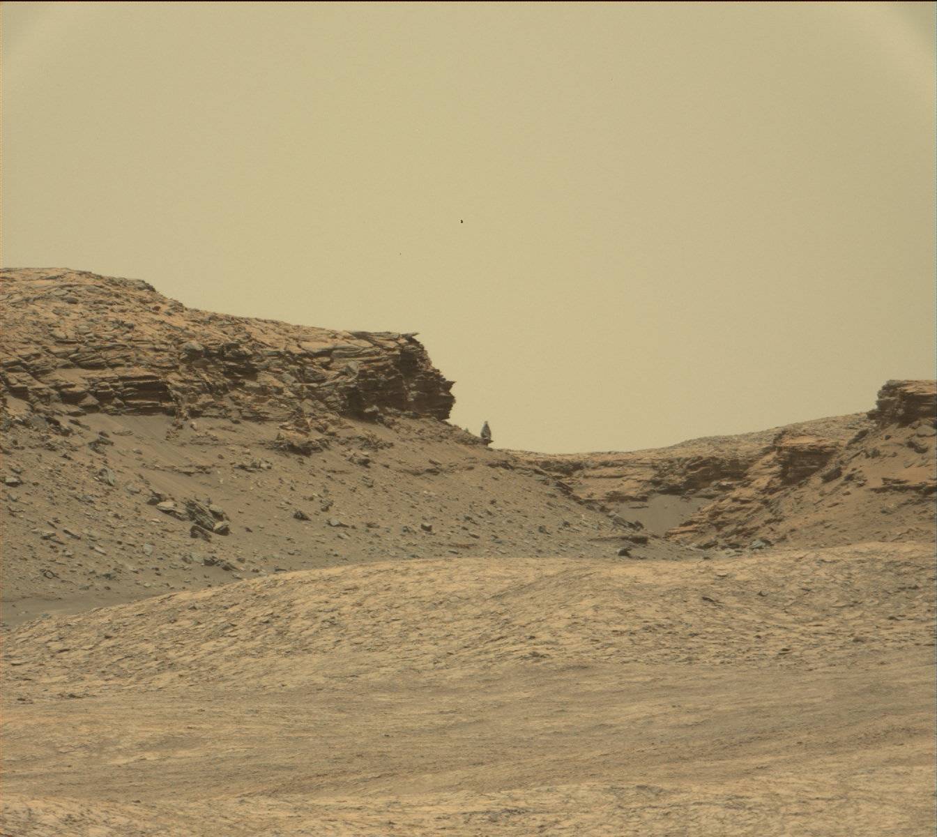
The bottom line of this paper however is this: We know without doubt, based on a lot of geological evidence, that approximately 3 to 4 billion years ago liquid water existed on the Martian surface, leaving behind complex valley drainage networks similar to those created by flowing water on Earth. In addition, the data from the rovers has also found evidence, clays and other minerals, that could only have formed if water once flowed on the surface. What we don’t know is how that liquid water could have existed. The data so far does not provide any clear mechanism for warming the climate enough as well as producing a thick enough atmosphere to allow liquid water to flow. To quote the paper:

In summary, no single mechanism is currently accepted as the cause of anomalous warming events on early Mars.

The data also suggests that an ocean on Mars was unlikely, though not impossible. Instead, it appears that if any warming events occurred to produce liquid water, they were temporary and short-lived. What caused those warming events, however, remains a scientific mystery.

The paper also made clear once again the complexity of climate science, and how difficult it is to develop climate models that explain the geological evidence, not just on Mars, but on Earth as well. As the paper also noted, “Just like the climate of Earth today, the ancient climate of Mars was probably complex, with multiple factors contributing to the mean surface temperature.” And like the climate of Earth, many of those multiple factors remain uncertain and poorly understood. It will be many years before we really understand how Mars got to be the way it is.

Likely, to figure it out we will have to go there ourselves and poke around with our own hands.

1 comment
1 169 170 171 172 173 212