
Peeling brain terrain in Martian crater

Click for original image.
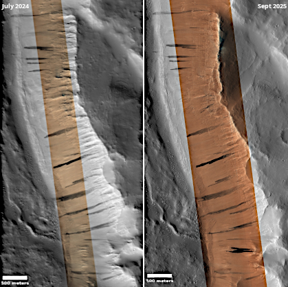
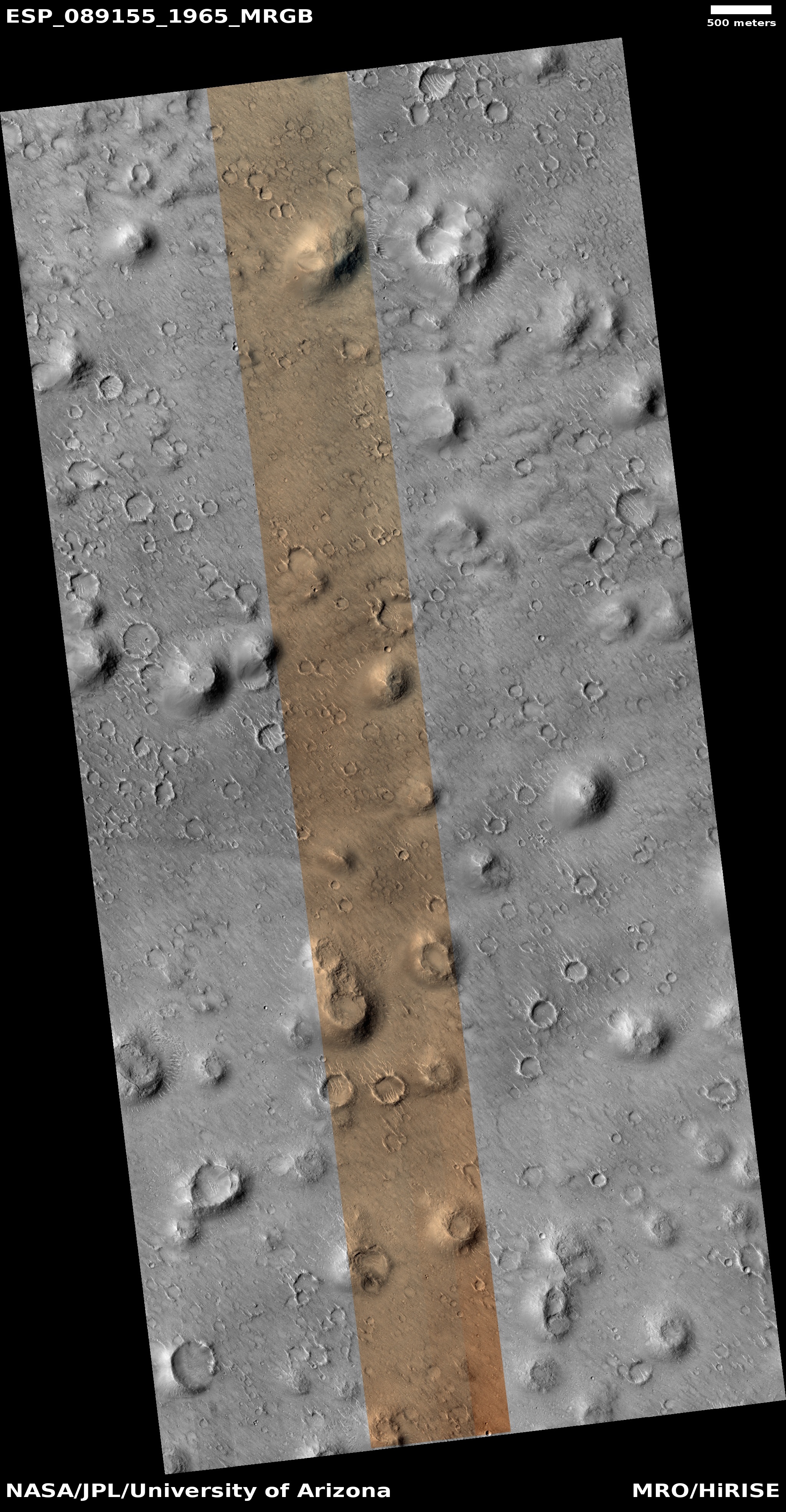
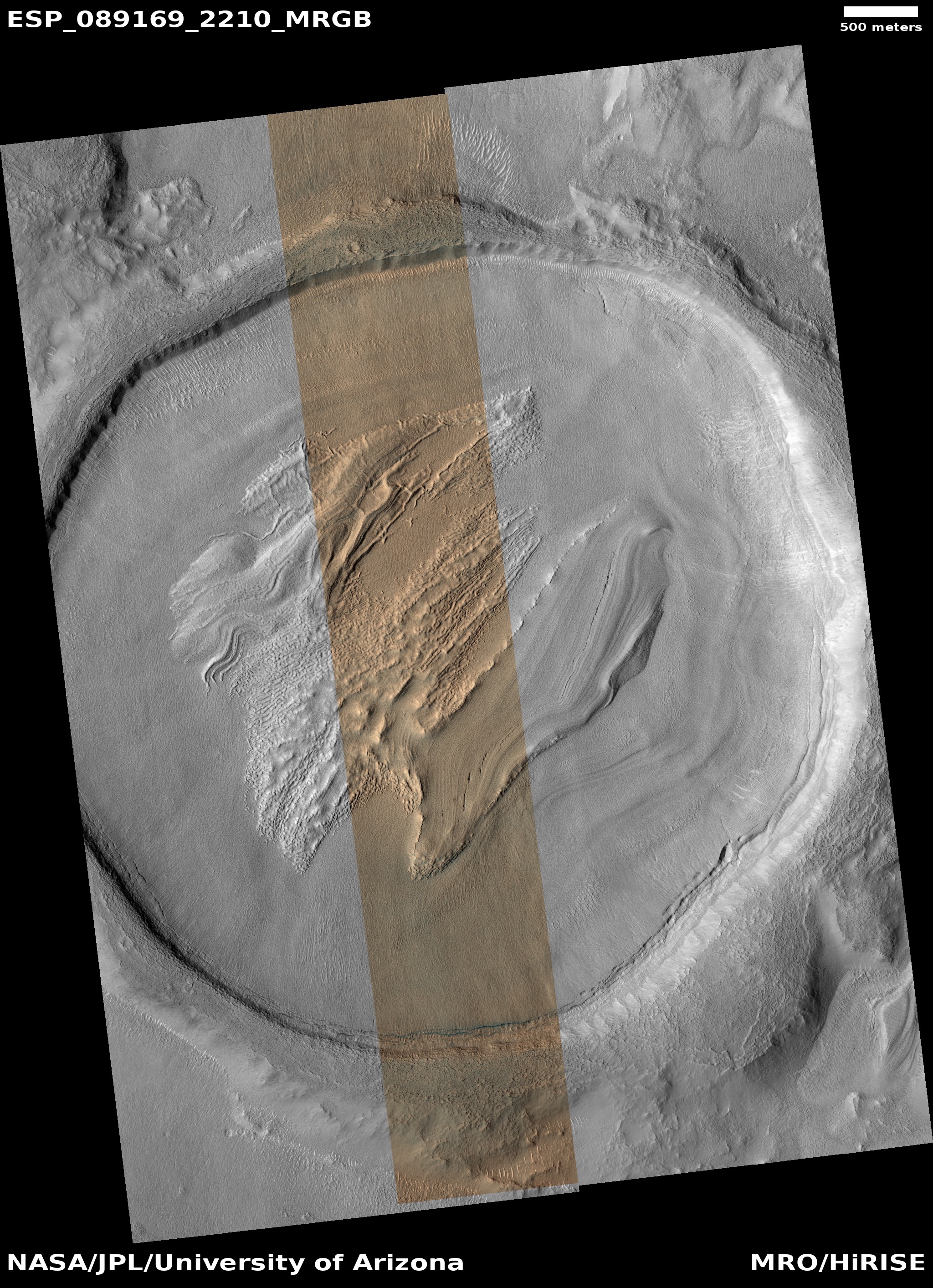
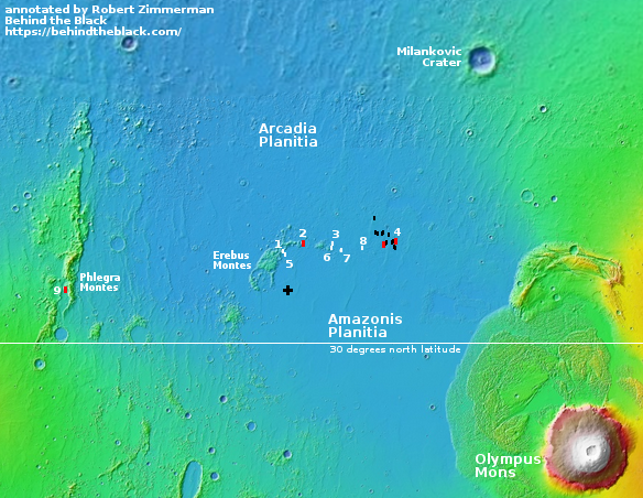
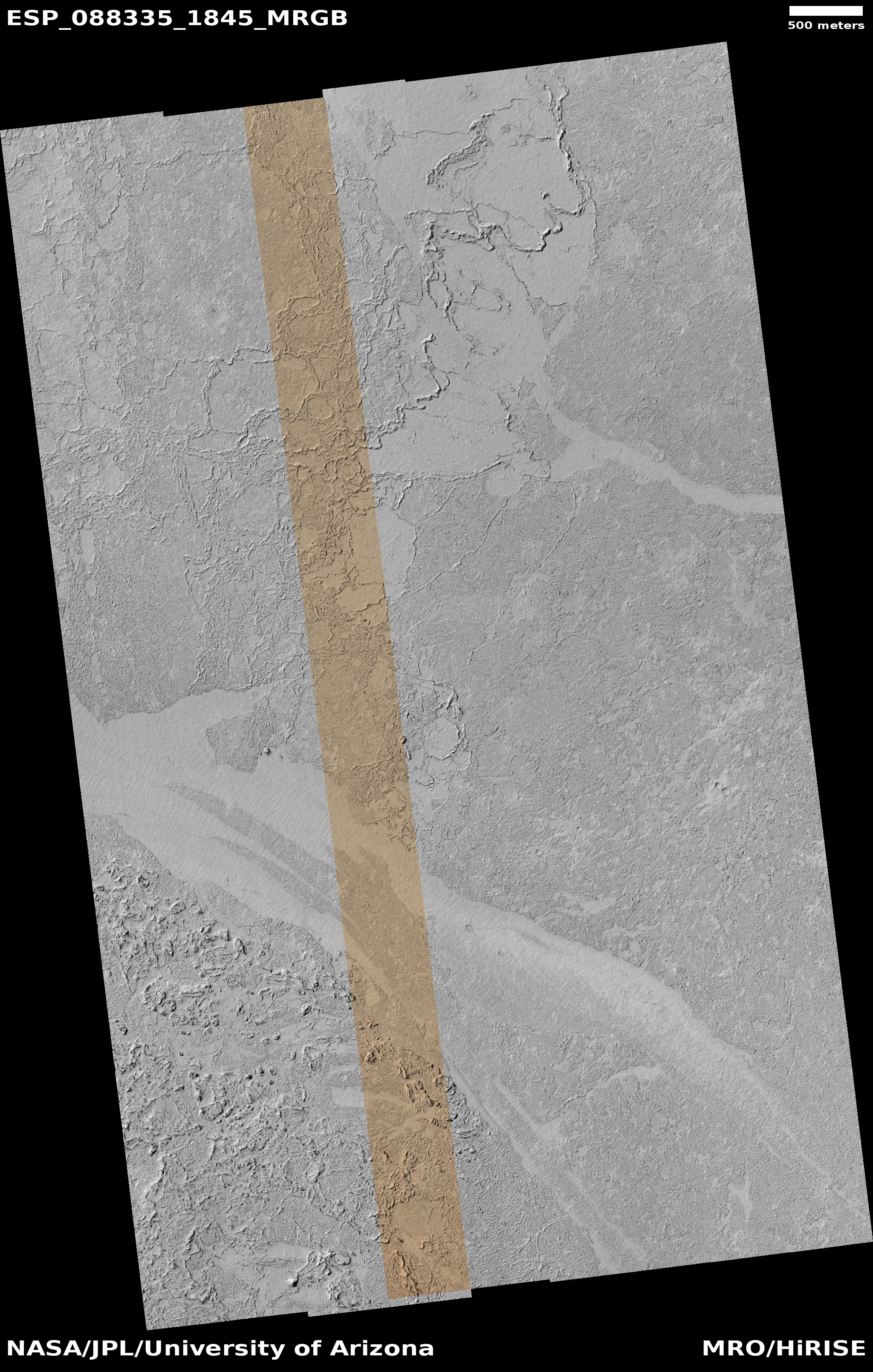
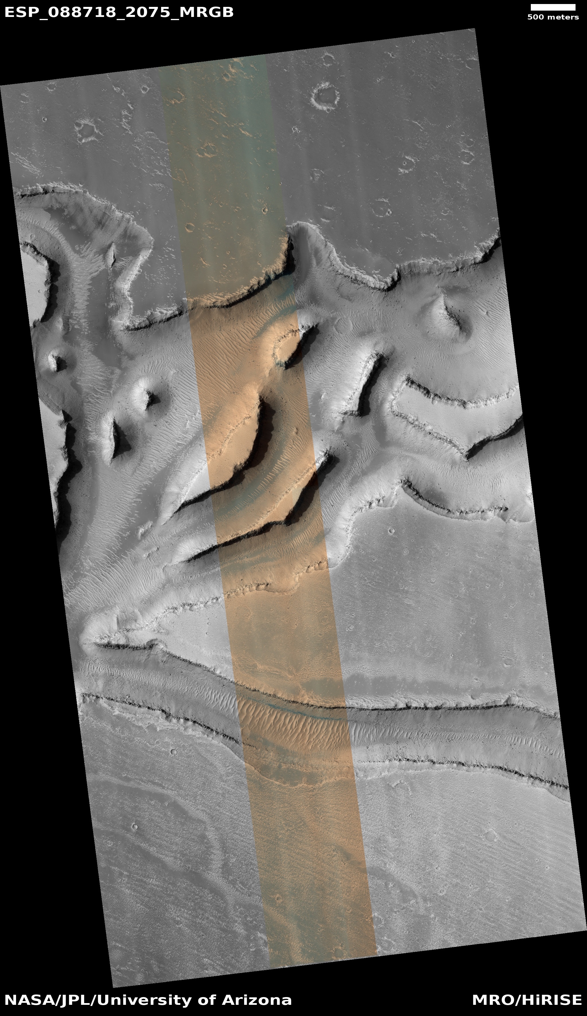
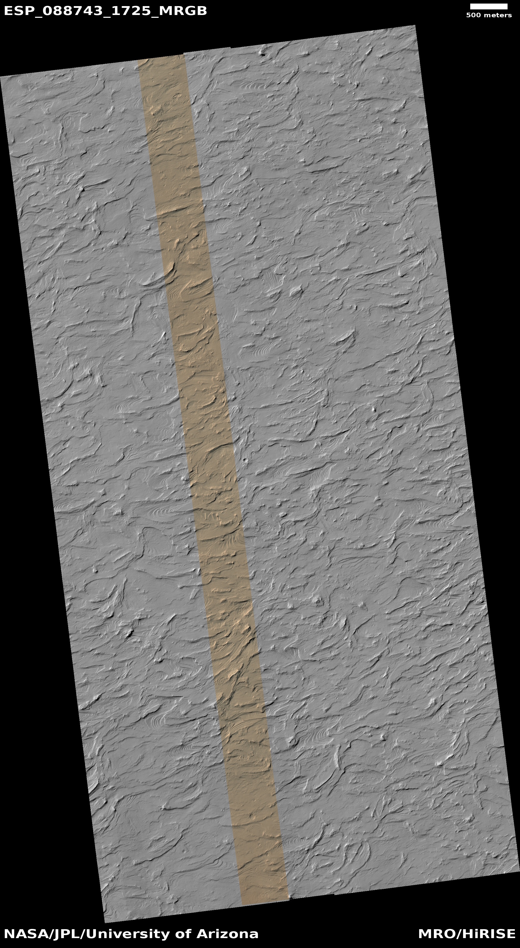
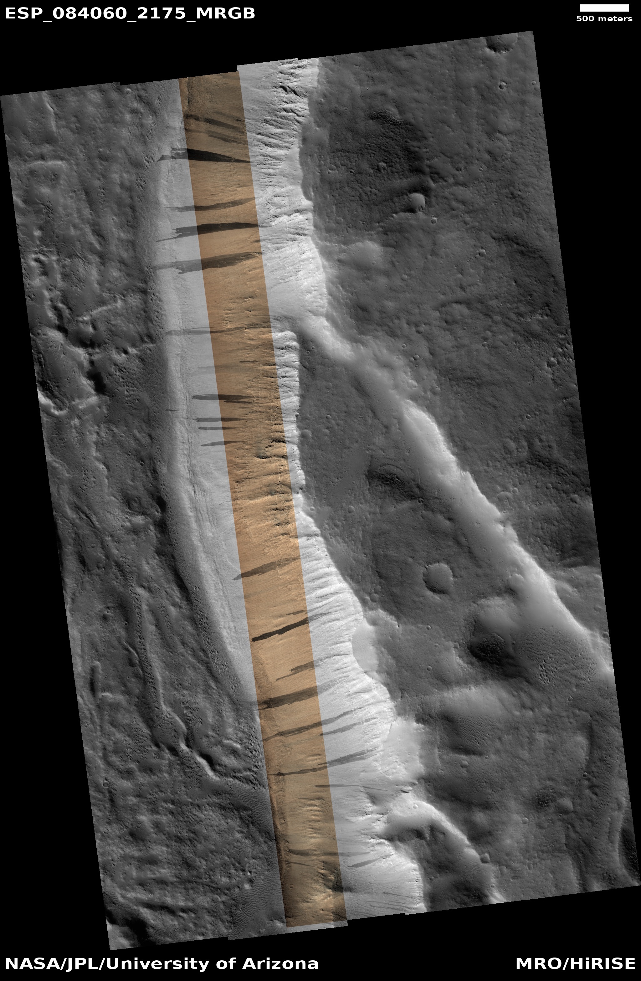
Today’s cool image takes us once again back to Mars’ glacier country, the 2,000 mile-long mid-latitude strip in the northern hemisphere where almost every image shows glacier features. The picture to the right, cropped, reduced, and sharpened to post here, was taken on September 4, 2025 by the high resolution camera on Mars Reconnaissance Orbiter. It shows a small section of the floor of an unnamed 13-mile-wide crater, highlighting what the science team labels vaguely as “features.”
Those features appear to be glacial debris whose surface alternates between peeling gaps and the unique Martian geology dubbed “brain terrain”, whose formation is not yet understood but is believed to be associated with near surface ice.
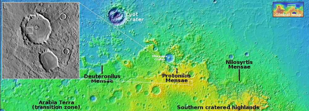
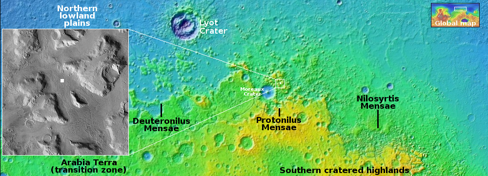
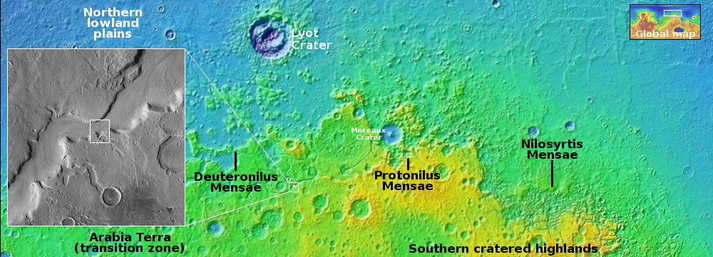
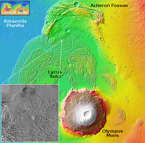
The location is indicated by the white rectangle on the overview map above. At 36 degrees north latitude, this crater is deep within that mid-latitude strip where a lot of glacial features are routinely found. If you look at the inset, you can see that all the nearby craters appear to have formed in what appears to be slushy ground, their rims not very pronounced or distorted and their floors shallow, as if the ground melted like ice upon impact but very quickly solidified.
Mars is not a dry place. Future colonists will likely build their first cities around 30 degrees latitude, close enough to the equator to get warmer temperatures, but close enough to the near-surface ice found just a few degrees poleward, in a place such as this.


