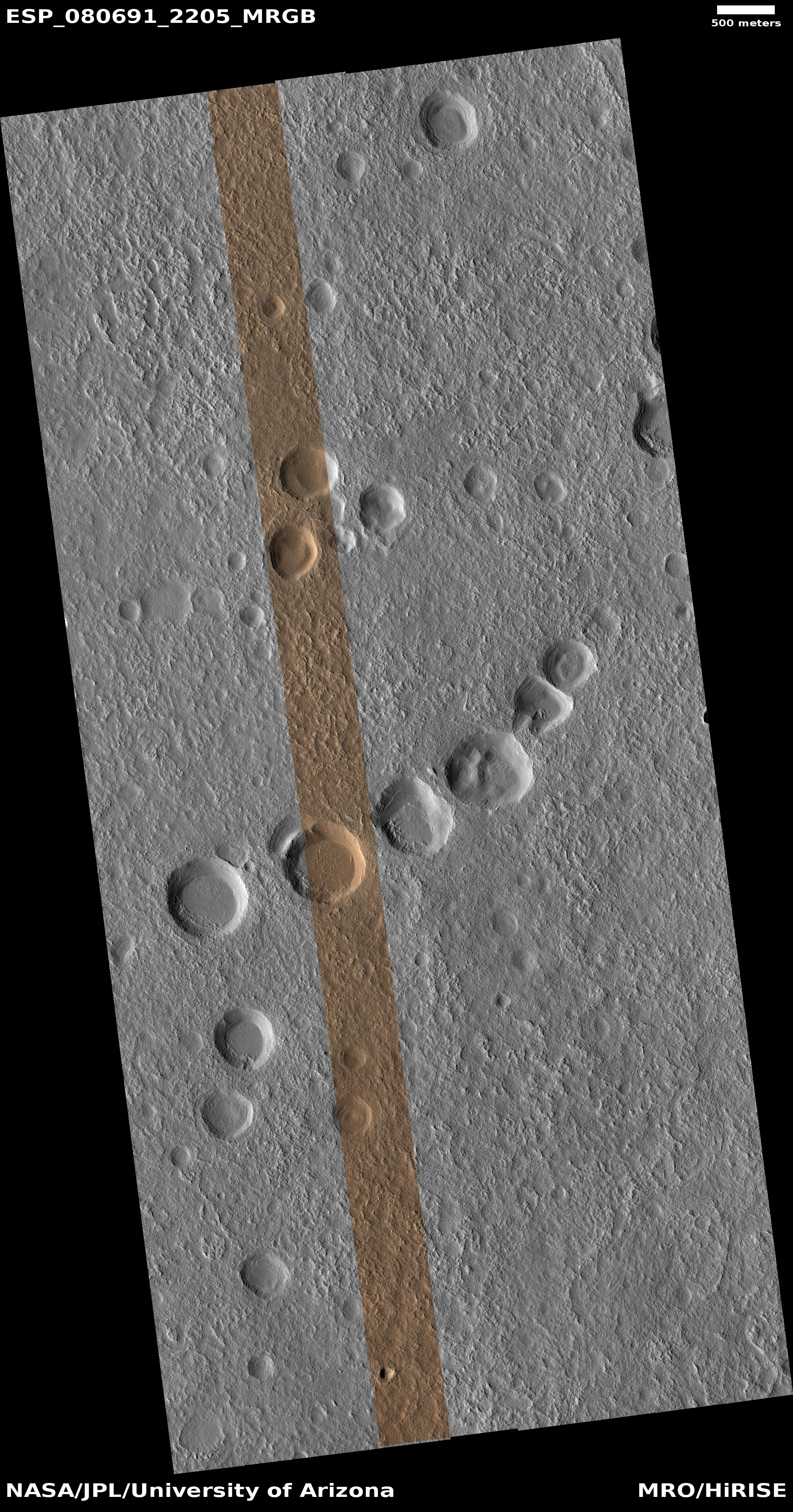
What the Milky Way would look like if it was presently a star forming powerhouse

A galaxy as seen by Hubble and Webb
For the original images go here and here.

Cool image time! The two pictures to the right, taken respectively by the Hubble and Webb space telescopes of the same galaxy, shows us many different features of a barred galaxy, located about 35 million light years away. From the caption for the Hubble image:

This picture is composed of a whopping ten different images taken by the Hubble Space Telescope, each filtered to collect light from a specific wavelength or range of wavelengths. It spans Hubbleโ€™s sensitivity to light, from ultraviolet around 275 nanometres through blue, green and red to near-infrared at 1600 nanometres. This allows information about many different astrophysical processes in the galaxy to be recorded: a notable example is the red 656-nanometre filter used here. Hydrogen atoms which get ionised can emit light at this particular wavelength, called H-alpha emission. New stars forming in a molecular cloud, made mostly of hydrogen gas, emit copious amounts of ultraviolet light which is absorbed by the cloud, but which ionises it and causes it to glow with this H-alpha light.

Therefore, filtering to detect only this light provides a reliable means to detect areas of star formation (called H II regions), shown in this image by the bright red and pink colours of the blossoming patches filling NGC 1559โ€™s spiral arms.

The Z-shaped blue indicates the stars and its most distinct spiral arms. Astronomers presently believe that the Milky Way is also a barred spiral like this, though its star-forming regions are thought to be far less extensive and distinct.

The Webb infrared image matches the Hubble data, with the false color blue indicating the near-infrared and the false color red the mid-infrared. As with the Hubble picture, the red indicates the galaxy’s extensive star forming regions.

0 comments

Two Russian astronauts mark one year in orbit

Russian astronauts Oleg Kononenko and Nikolay Chub today marked the one year anniversary of their launch in 2023, thus marking another Russian yearlong mission in space.

The two cosmonauts were sent to the orbit aboard the Soyuz MS-24 manned spacecraft, which blasted off from the Baikonur space launch center on September 15, 2023. The third crew member on board was NASA astronaut Loral O’Hara, who returned to the Earth on April 6, 2024. Kononenko and Chub, as well as NASA astronaut Tracy Dyson, will travel back aboard the Soyuz MS-25 spacecraft, whose departure is scheduled for September 23.

Their return next week will not mark a record for the longest flight in space. That belongs to Valeri Polykov, who occupied the Soviet-built Mir space station in the mid-1990s for one year, two months, and two weeks in the mid-nineties, or 438 days. The second longest flight was by Sergey Avdeev, 380 days on Mir in 1998-1999, with the third longest flight by Sergey Prokopyev, Dmitry Petelin, and Franco Rubio, 371 days in 2022-2023.

When Kononenko and Chub return on September 23rd, their flight will 373 days long, passing the 2022-2023 mission.

Note that only one American is on this list. A few have flown almost a year, but only Rubio has made it, and that was forced on him unplanned because of problems with the Soyuz capsule that brought him into orbit. He was forced to stay up an extra six months and come down on the next Soyuz.

The reason for this lack of long American flights is entirely NASA’s fault. It has consistently resisted doing such long missions, even holding the Russians back during the first two decades of ISS’s operation. The Russians no longer follow NASA’s timidity, and have been doing more such missions, because such missions will be the only way to gather the necessary medical data needed for future missions to Mars.

Meanwhile, NASA hesitates, and sometimes touts eleven-month missions (such as Scott Kelly’s) as year-long missions, a blatant lie that our propaganda press repeats mindlessly. I fully expect the first planned year-long American mission will be done privately, outside of our government, once Starship begins flying regularly.

2 comments

Bad consequences from the medical profession’s panic/lies over COVID continue to build

The results of COVID policy decisions of our medical community
The results of COVID policy decisions
for our medical community

Several stories in the past week illustrate how the medical community dug itself a deep hole with its dishonest panic and over-reaction to COVID and its response to it.

First the background from 2020: Rather than follow past very successful policies involving new epidemics, whereby only the sick and aged were quarantined while everyone else went about their normal lives, intentionally spreading the new respiratory virus to those with which it was relatively harmless so that the entire population could quickly get herd immunity and thus quickly choke the virus out, our modern medical community, in conjunction with government health officials who had political motives, chose to quarantine everyone, destroying the economy and the livelihoods of millions while actually allowing the disease time to spread to the aged and sick, killing many more than were necessary.

Numerous studies have confirmed the failure of the lockdown and mandate policies during COVID. Sweden for example essentially followed those traditional policies, never locking down or mandating masks or shots. It was blasted for that decision, with many in the health community predicting massive deaths from COVID. Instead, studies have now proven that Sweden had the lowest mortality in Europe from 2020โ€“2022.

That’s the background. The new stories this week illustrate the consequences. First, a recent peer-reviewed study found that trust in doctors has crashed since 2020. The numbers are quite shocking:
» Read more

24 comments

Perservance looks back from on high

Perservance's view looking back down Neretva Vallis
Click for original image.

Cool image time! The picture above, cropped to post here, was taken on September 9, 2024 by the left navigation camera on the Mars rover Perseverance, looking east and back along the route from which the rover had come.

The view is somewhat more spectacular than most Perseverance images because the rover took it during its on-going climb up unto the rim of Jezero Crater, as shown by the overview map below. The blue dot marks Perseverance’s present position, while the yellow lines indicate the area covered by the picture above, taken several days earlier.

The haze in the picture also suggests that the local dust storm first noted in late August might be clearing somewhat. This isn’t certain, however, as the previous picture was using the rover’s high resolution camera to look at distant hills (thus more obscured), while the picture above was taken by the left navigation camera looking more widely and at nearer objects.

Overview map
Click for interactive map.

1 comment

Intuitive Machines targeting January 2025 for launch of its next lunar lander

The landers either at or targeting the Moon's south pole
The landers either at or targeting the Moon’s south pole

The company Intuitive Machines is now aiming to launch its second Nova-C lunar lander, dubbed Athena, during a January 1-5, 2025 launch window.

The landing site is indicated on the map to the right, on the rim of Shackleton crater and almost on top of the south pole. While Chang’e-7 is targeting the same crater rim, it is not scheduled for launch until 2026.

The lander will not only include a drill for studying the surface below it, it will release a small secondary payload, the Micro-Nova Hopper, which will hopefully hop down into the permanently shadowed craters nearby.

The launch will also carry a lunar orbiter, dubbed Lunar Trailblazar, which will not only do spectroscopy of the lunar surface, looking for water, it will also be used as a communications relay satellite with Athena. That orbiter, designed to demonstrate the ability to build a smallsat at low cost, was previously threatened with cancellation because its builder, Lockheed Martin, went way over budget.

0 comments

New gravity map of Mars released

New global map of Mars gravity field
Click for original image.
Using both seismological data compiled over four years by the InSight Mars lander as well tiny changes in the orbits of Martian satellites, scientists have now created a global gravity map of the red planet, indicating the regions below the surface that are either low or high density.

That map is above, annotated by me to indicate some of Mars’ major surface features.

The density map shows that the northern polar features are approximately 300-400 kg/m3 denser than their surroundings. However, the study also revealed new insights into the structures underlying the huge volcanic region of Tharsis Rise, which includes the colossal volcano, Olympus Mons.

Although volcanoes are very dense, the Tharsis area is much higher than the average surface of Mars, and is ringed by a region of comparatively weak gravity. This gravity anomaly is hard to explain by looking at differences in the martian crust and upper mantle alone. The study by Dr Root and his team suggests that a light mass around 1750 kilometres across and at a depth of 1100 kilometres is giving the entire Tharsis region a boost upwards. This could be explained by huge plume of lava, deep within the martian interior, travelling up towards the surface.

I once again note that the largest impact basin on Mars, Hellas Basin, sits almost exactly on the planet’s far side from Tharsis, and appears to have a light density. This contrast once again makes me wonder if the origin of that impact and the Tharsis Bulge are linked.

13 comments

A fluted mesa on Mars

A fluted mesa on Mars
Click for original image.

Cool image time! The picture to the right, cropped, reduced, and sharpened to post here, was taken on July 9, 2024 by the high resolution camera on Mars Reconnaissance Orbiter (MRO). It shows what the science team labels a “silica-rich mound”, as indicated by the bright streaks on all the high ridge points.

The flat-topped mesa on the right drops about 200 feet to the valley floor. The rims of that depression to the west rise about 50+ feet higher, while mesa nose in the upper left rising another 50+ feet more.

Was the depression caused by an impact? If so, the landscape has changed radically since that impact occurred, with most of the surrounding terrain eroded away. The two flat-topped mesas hint at the ancient surface when that impact occurred.

A wider view however raises questions about this impact theory.
» Read more

1 comment

Scientists re-create on Earth the sublimation of Mars’s winter mantle of dry ice

Spiders created on Earth
Click for original image.

Scientists have successfully re-created on Earth the process on Mars that creates the unique “spider” formations seen in the the Martian south pole region, produced when the winter mantle of dry ice begins to sublimate away into a gas.

The study confirms several formation processes described by whatโ€™s called the Kieffer model: Sunlight heats the soil when it shines through transparent slabs of carbon dioxide ice that built up on the Martian surface each winter. Being darker than the ice above it, the soil absorbs the heat and causes the ice closest to it to turn directly into carbon dioxide gas โ€” without turning to liquid first โ€” in a process called sublimation (the same process that sends clouds of โ€œsmokeโ€ billowing up from dry ice). As the gas builds in pressure, the Martian ice cracks, allowing the gas to escape. As it seeps upward, the gas takes with it a stream of dark dust and sand from the soil that lands on the surface of the ice.

At the south pole, the ground below the mantle is stable enough that each winter the trapped CO2 gas follows the same path to the same points where the dry ice cracks, slowly creating “tributaries” that combine to form the spider formations.

The picture to the right, cropped, reduced, and sharpened to post here, comes from figure 9 of the paper [pdf]. It shows the lab-created spiders formed by this simulated process, thereby confirming this hypothesis about how the spiders form.

0 comments

Ispace targeting a December launch for its second attempt to softland on the Moon

Landing zone for Resilience lander

At a press conference yesterday officials of the Japanese company Ispace announced that they are now targeting a December 2024 launch of their second Hakuto-R lunar lander, dubbed “Resilience”, with the landing site located in the high mid-latitudes of the near-side of the Moon.

The map to the right indicates that location, inside Mare Frigoris. Atlas Crater is where Ispace attempted but failed to soft land its first lunar lander, Hakuto-R1, in April 2023.

This new lander will be launched on a Falcon 9 rocket. It carries six commercial payloads. It also appears the company decided to go for an easier landing site on this second mission. Rather than try to land inside a crater, it is targeting a very large and flat mare region, thus reducing the challenges presented to its autonomous software.

Ispace already has contracts both with NASA ($55 million) and Japan’s JAXA space agency ($80 million) for two more future landers, so a successful landing this time is critical to the company’s future.

0 comments

A map of Io’s hot spots based on Juno data

The hot spots on Io
Click for original image.

The uncertainty of science: Using the JIRAM infrared camera on the Jupiter orbiter Juno, scientists have now created a global map of volcanic activity, showing where it appears the hottest and greatest activity is located.

That data is illustrated by the graphic to the right, taken from figure 1 of the paper. The top row shows the coverage of the planet, with Io’s southern hemisphere getting the fewest observations. The bottom row shows the observed regions with the greatest heat. This quote from the abstract is most revealing:

Using JIRAM, we have mapped where volcanoes are producing the most power and compared that to where we expect higher heat flow from the interior models. Our map doesn’t agree with any of these models very well. JIRAM observed more volcanic activity at the poles than we expected to see based on previous observations. However, since the south pole was only observed twice, it’s possible that these observations don’t represent the average volcanic activity of the south pole. Very bright volcanoes that may have been continuously active for decades were also imaged during these Juno fly-bys, some of which are nearer the poles than the equator.

The conflict between the data and the theories could very well be explained simply by the short term nature of these observations. The models could very well be right, over centuries. For example, the new volcano discovered by Juno is near the equator, suggesting with time those models will turn out to be correct.

Or not. A lot more observations will have to be made of Io before any model of its volcanic activity can be considered trustworthy.

0 comments

Juno discovers new volcano on Io

New volcano on Io
Click for original image.

By comparing images taken twenty-seven years apart by the the Jupiter orbiters Galileo and Juno, scientists have discovered that during that time a new volcano appeared on the volcano-strewn Jupiter moon Io.

The two pictures to the right show the surface change on Io during those 27 years.

Analysis of the first close-up images of Io in over 25 years, captured by the JunoCam instrument on NASAโ€™s Juno mission, reveal the emergence of a fresh volcano with multiple lava flows and volcanic deposits covering an area about 180 kilometres by 180 kilometres. The findings have been presented at the Europlanet Science Congress (EPSC) in Berlin this week.

The new volcano is located just south of Ioโ€™s equator. Although Io is covered with active volcanoes, images taken during NASAโ€™s Galileo mission in 1997 did not see a volcano is in this particular region โ€“ just a featureless surface.

If anything, it has been somewhat surprising how little change the new Juno images have found on Io’s surface, considering its intensely active volcanic geology, with volcano plumes from eruptions captured in images repeatedly. Some volcanoes have shown change, but new features such as this new volcano have not previously been identified.

At the same time, the amount of high resolution imagery of the planet’s surface has been somewhat limited. Galileo sent back far fewer pictures than planned because its main antenna never deployed, and Juno had only a handful of close fly-bys. It will take a mission dedicated to studying Io to better map its violent surface.

1 comment

Engineers successfully switch thrusters on Voyager-1

The Voyager missions
The routes the Voyager spacecraft have
taken since launch.

Because of an increasing number of clogged thrusters on the almost half-century old Voyager-1 spacecraft, now flying just beyond the heliosphere of the solar system, engineers needed to switch thrusters recently, and successfully did so in a complex dance of engineering.

They had to switch from one thruster, in which a fuel line has become increasingly clogged in the last few years due to age, to an another thruster in a different system. The switch however required other careful preparations, since Voyager-1’s nuclear power supply has dropped to a point where they have been forced to shut down almost all operations. Thus, the thrusters are not getting heated as they once were, and turning on the replacement thruster in this condition could damage it.
» Read more

4 comments
1 62 63 64 65 66 729