
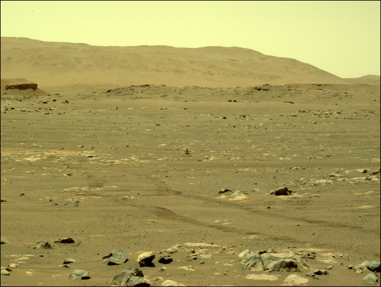
Curiosity looks back at its entire journey

Click for high resolution mosaic. Original images here, here, here, and here.
Click for interactive map.
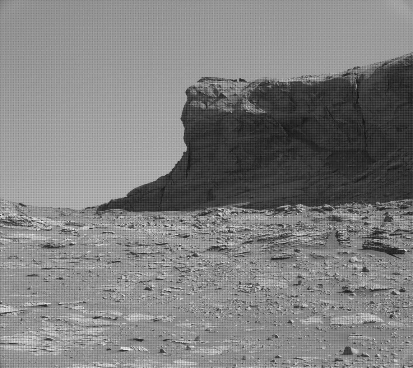
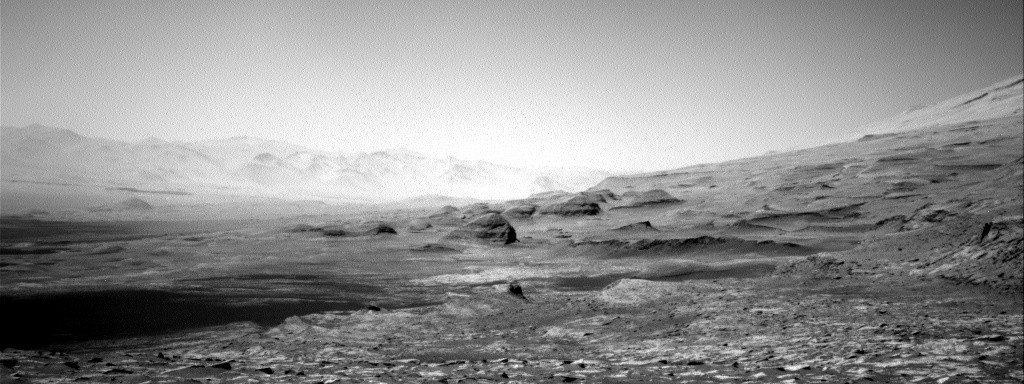
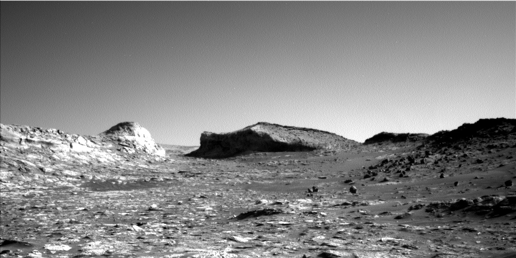
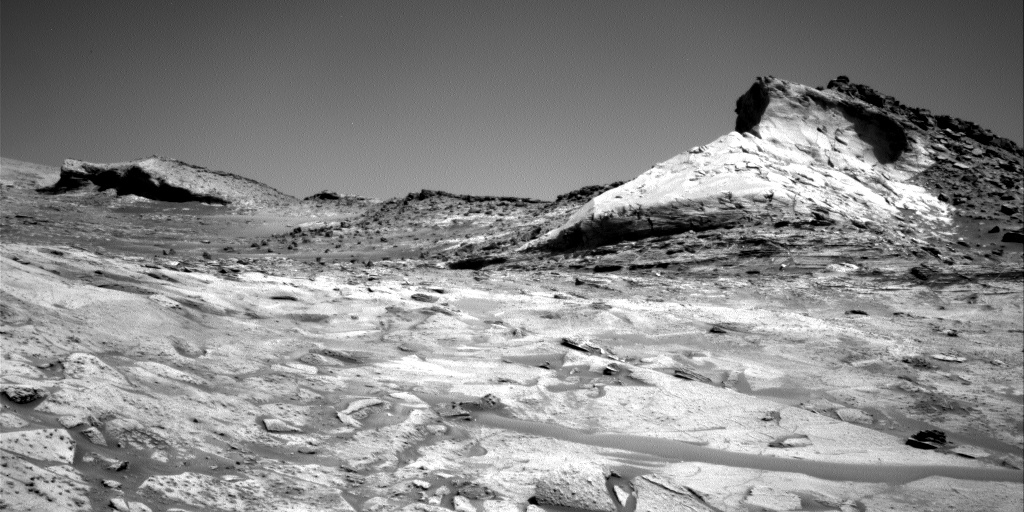
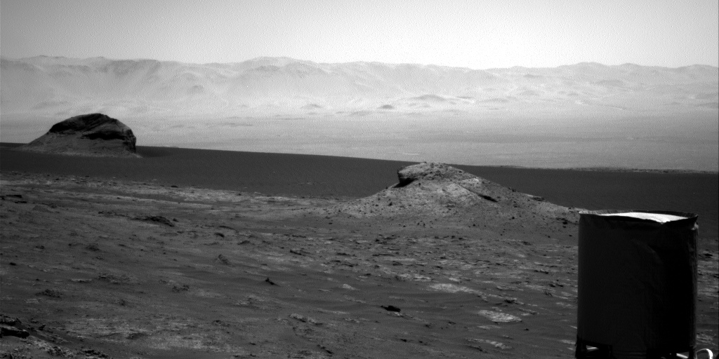
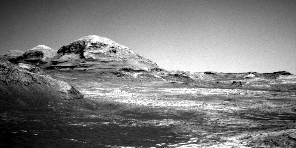
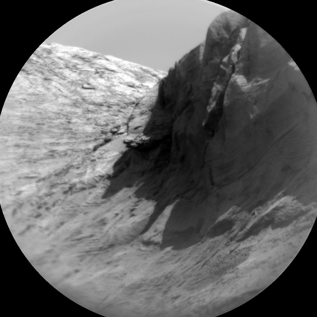
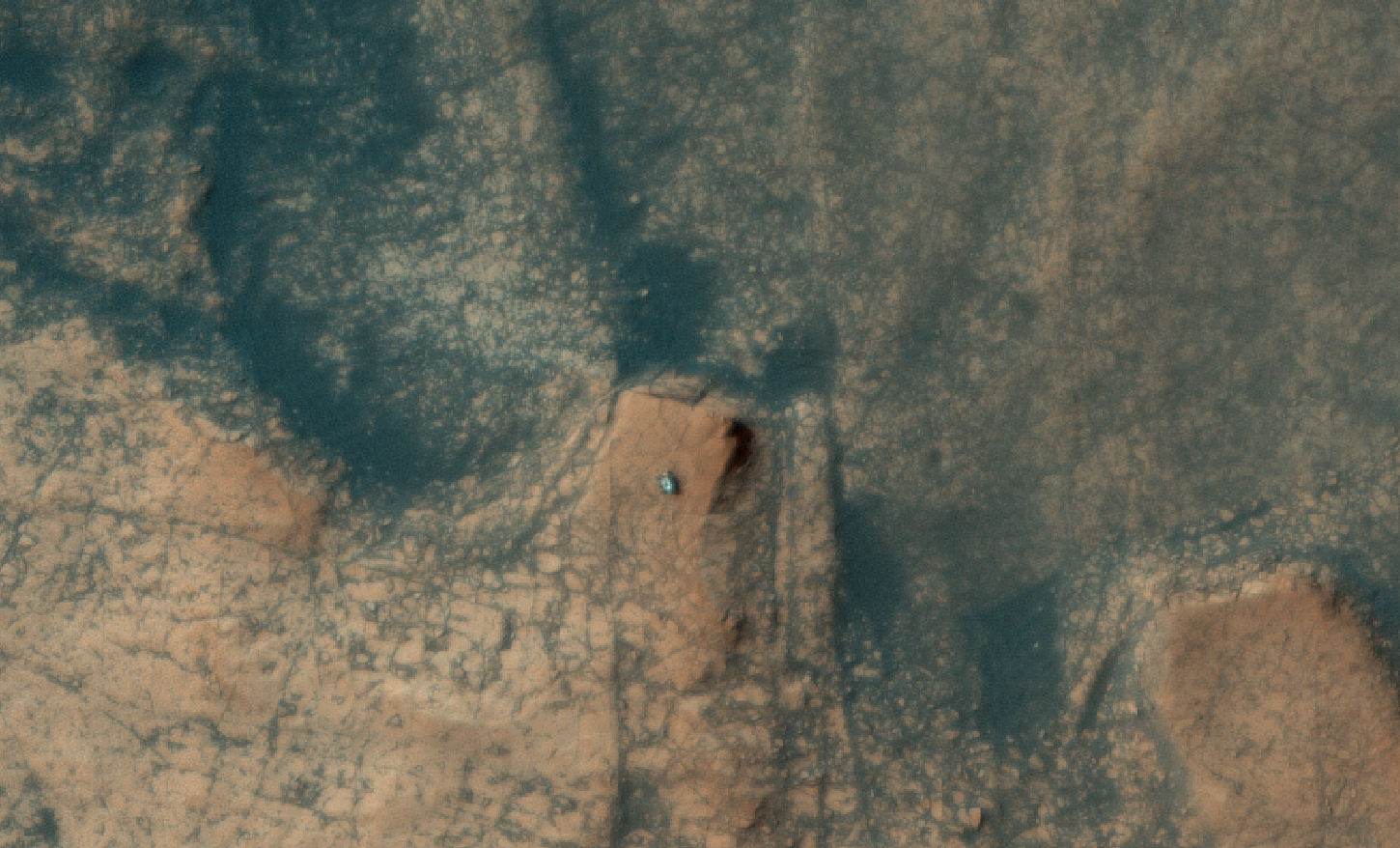
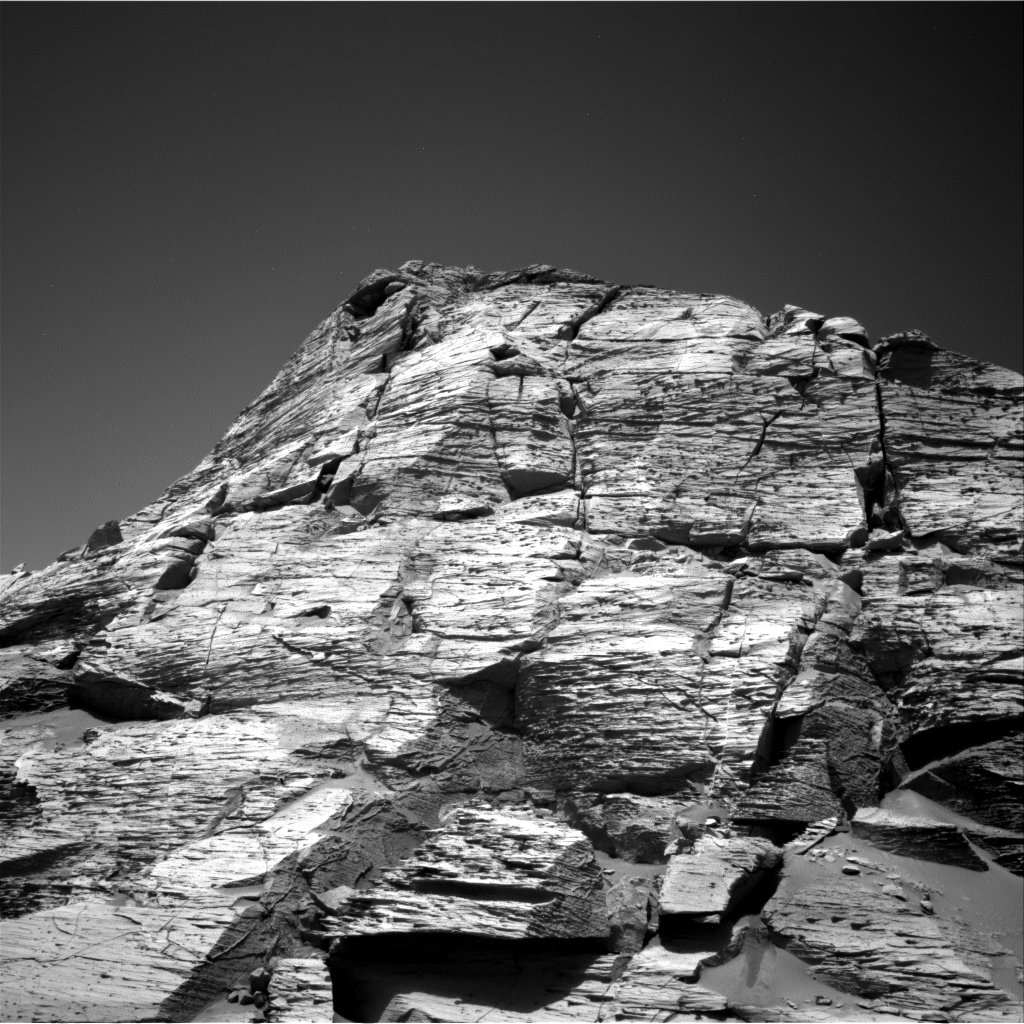
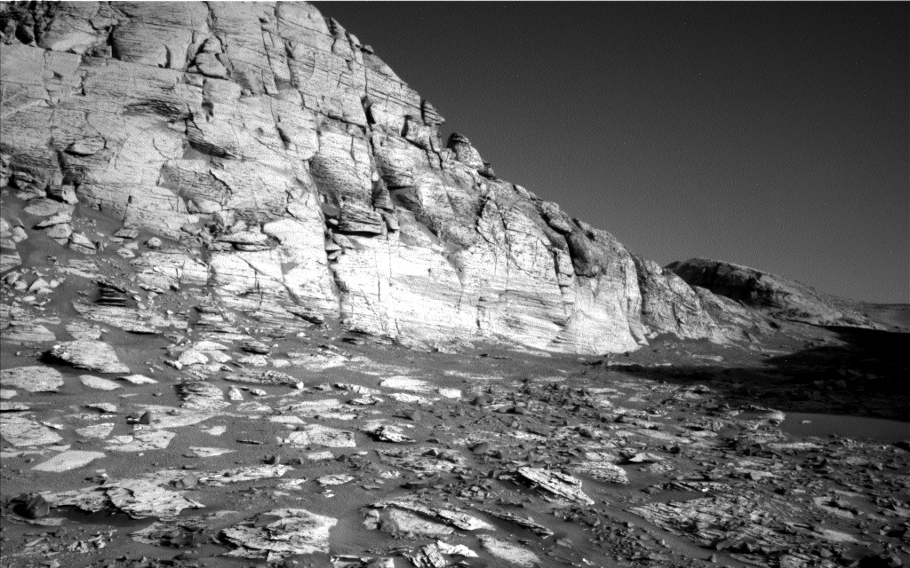
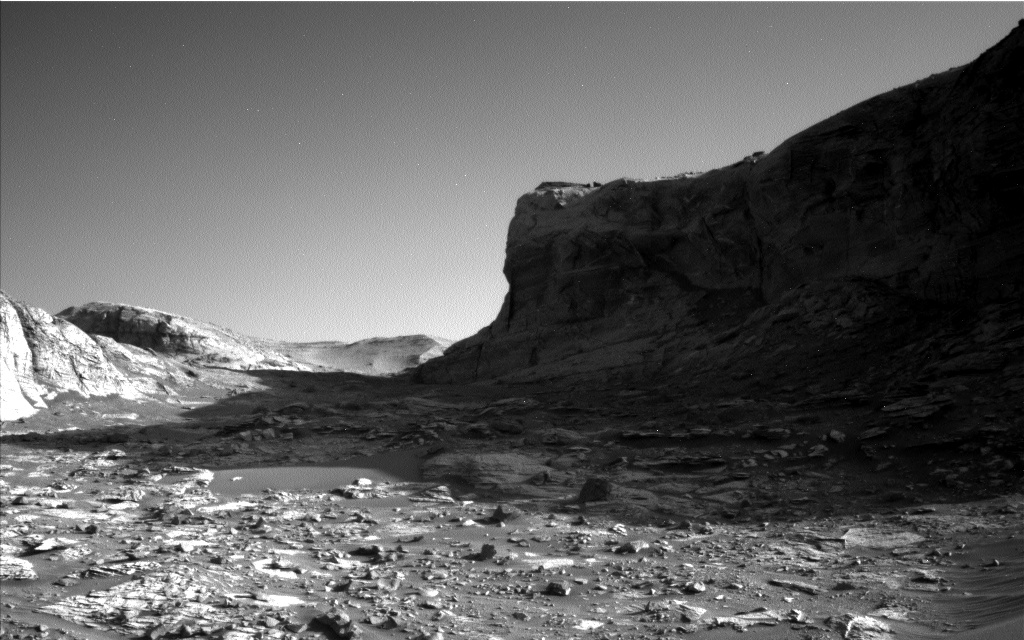
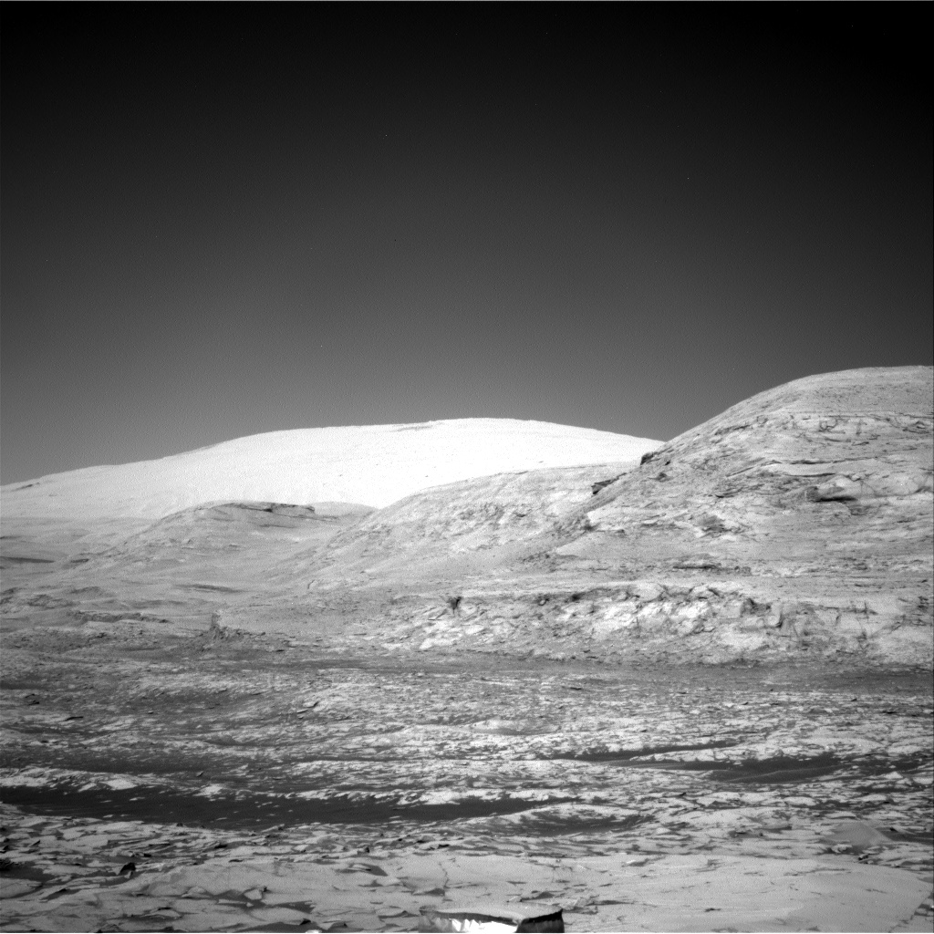
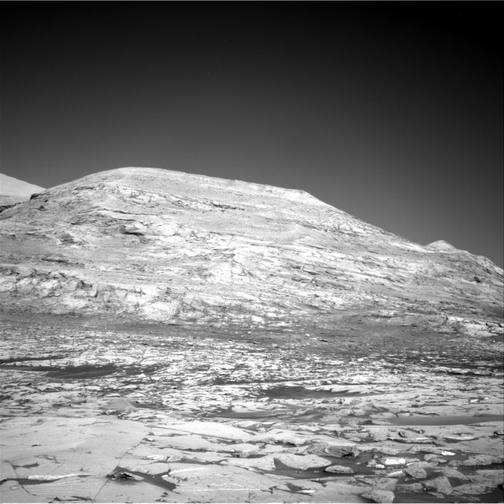
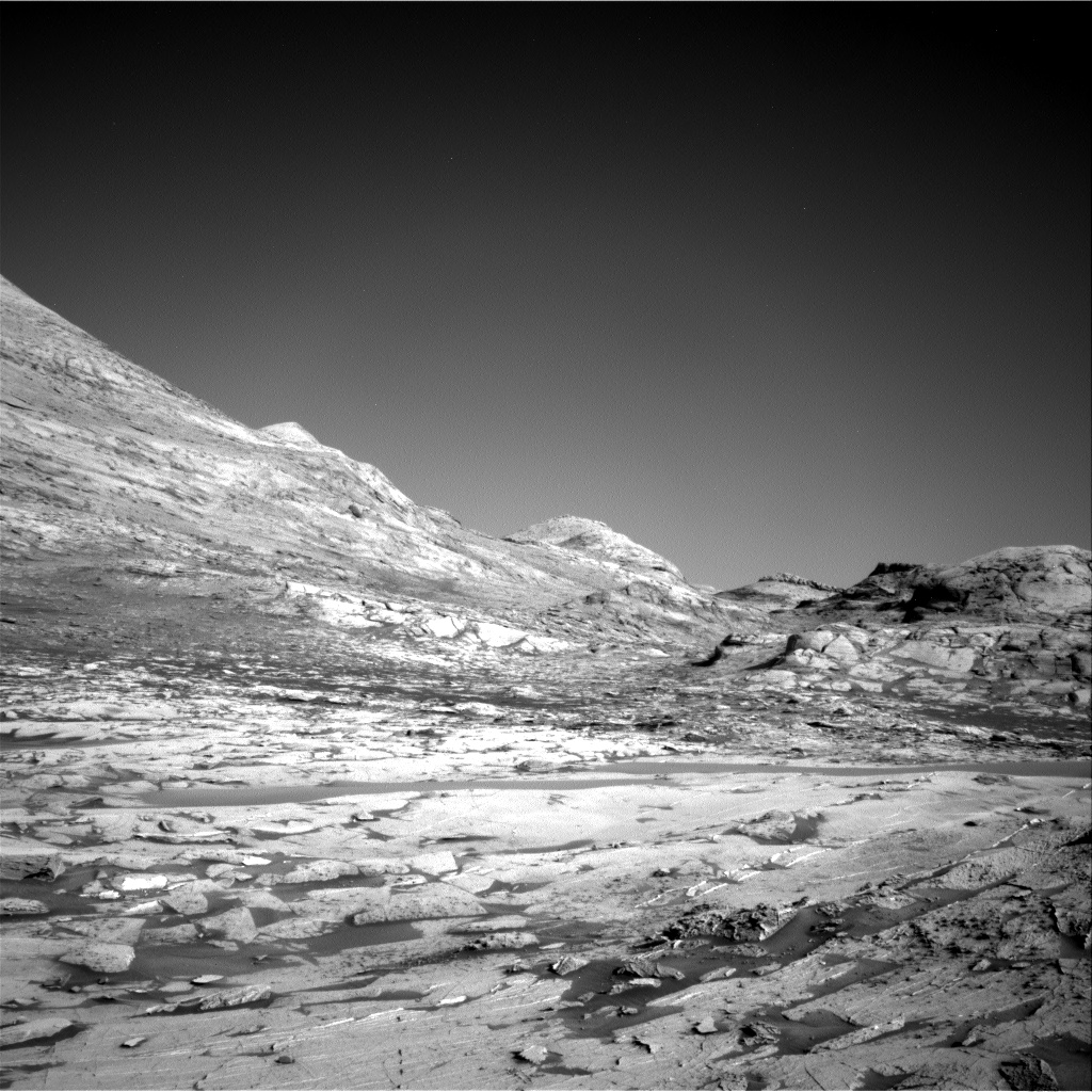
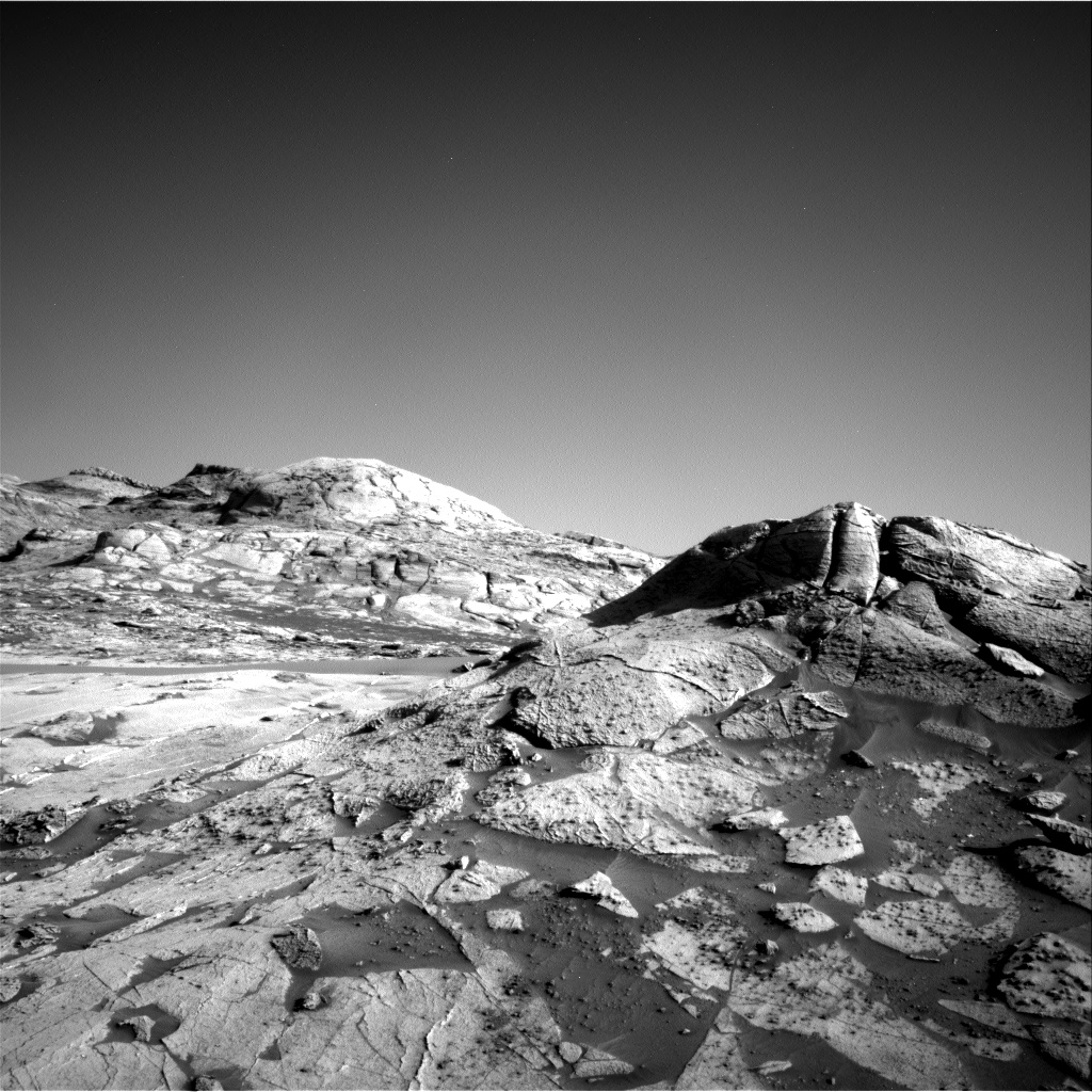
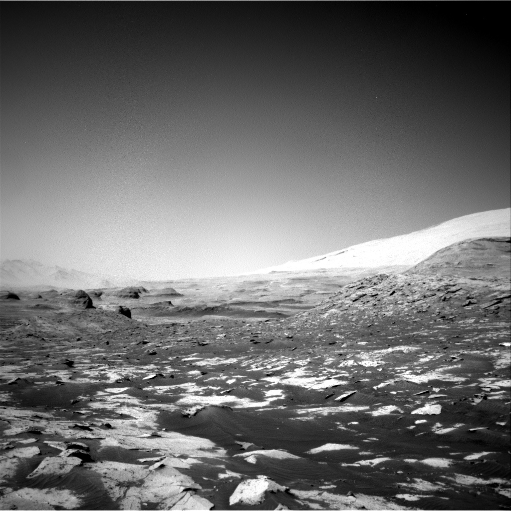
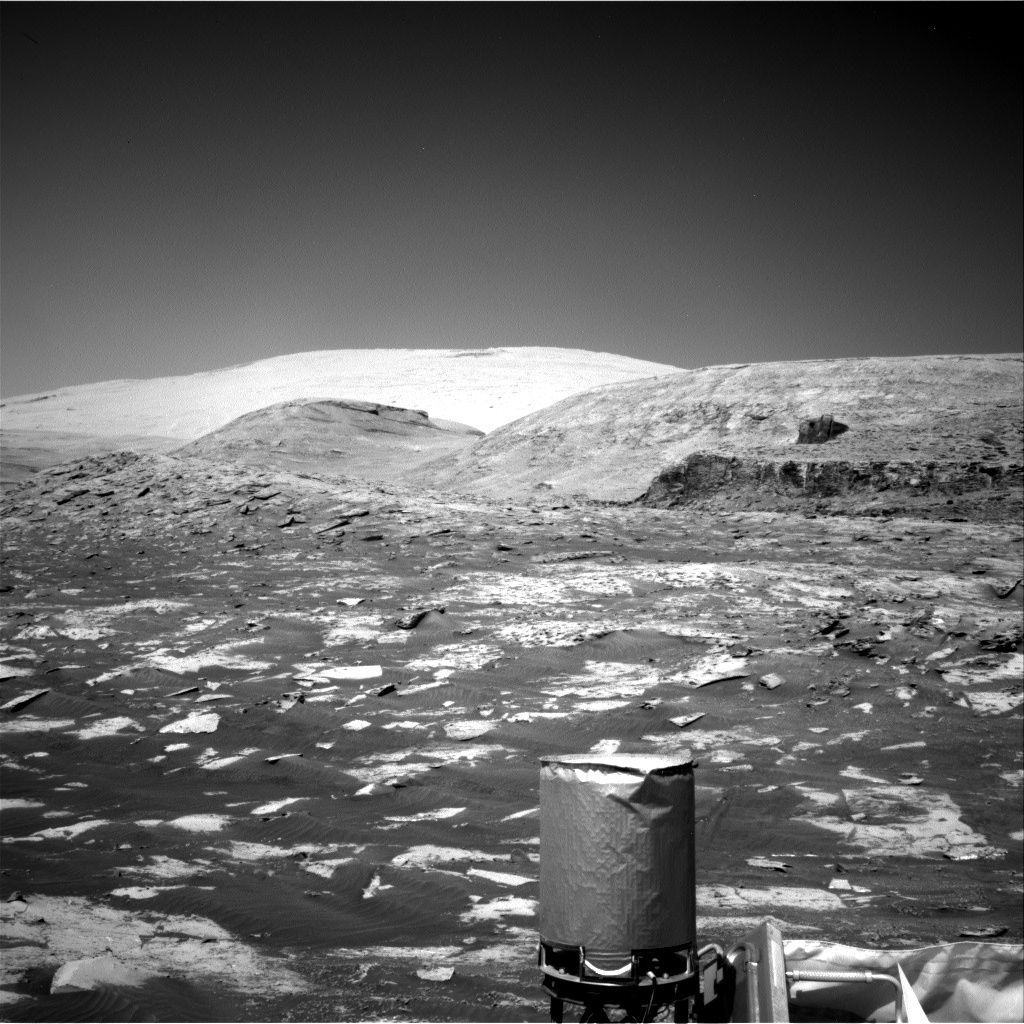
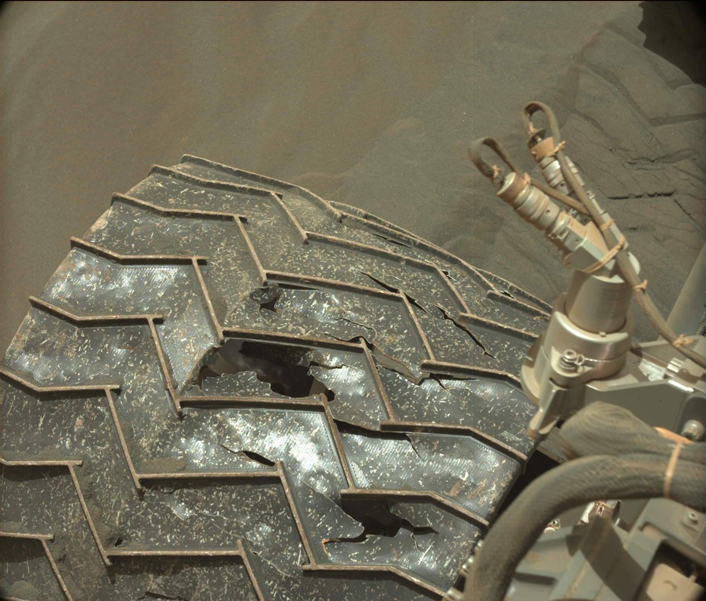
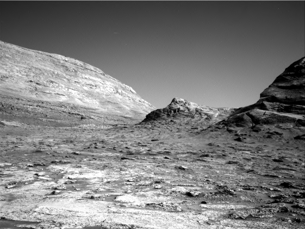
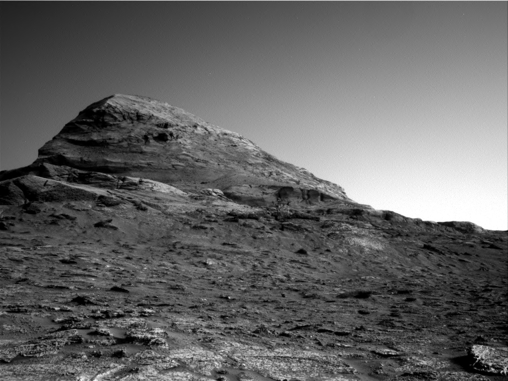
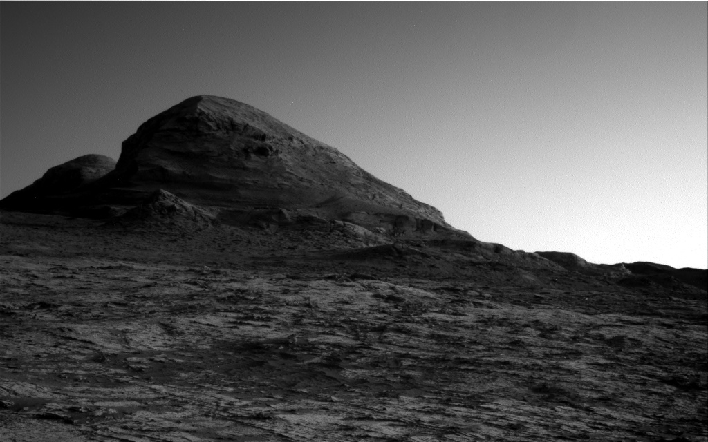
Cool image time! The mosaic above was created from four photos taken by Curiosity’s left navigation camera on December 12, 2021, just after the rover had moved into Maria Gordon Notch. The view is to the north, looking back at the rover’s journey climbing up the floor of Gale Crater into the foothills of Mount Sharp. The rim of Gale Crater can be seen about 25 to 30 miles away.
The cliff in shadow on the left is about 40 feet high. The cliff in sunlight on the right is between 30 to 60 feet high, depending on where you measure.
The overview map to the right shows Curiosity’s entire journey, with the yellow lines indicating the approximate area covered by the mosaic above. All told the rover has climbed about 1,700 feet since it landed. While much of the rover’s route is blocked from our view by the cliffs on left, the nearest sand dune sea in the center of the mosaic is the one that the rover circled around from January 2021 to June 2021.
» Read more

Click for high resolution mosaic. Original images here, here, here, and here.

Click for interactive map.
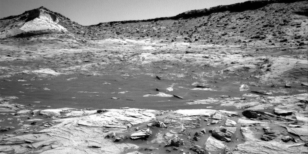
Cool image time! The mosaic above was created from four photos taken by Curiosity’s left navigation camera on December 12, 2021, just after the rover had moved into Maria Gordon Notch. The view is to the north, looking back at the rover’s journey climbing up the floor of Gale Crater into the foothills of Mount Sharp. The rim of Gale Crater can be seen about 25 to 30 miles away.
The cliff in shadow on the left is about 40 feet high. The cliff in sunlight on the right is between 30 to 60 feet high, depending on where you measure.
The overview map to the right shows Curiosity’s entire journey, with the yellow lines indicating the approximate area covered by the mosaic above. All told the rover has climbed about 1,700 feet since it landed. While much of the rover’s route is blocked from our view by the cliffs on left, the nearest sand dune sea in the center of the mosaic is the one that the rover circled around from January 2021 to June 2021.
» Read more


