
New Horizons discovers two binary asteroids in Kuiper Belt
Click for full map.
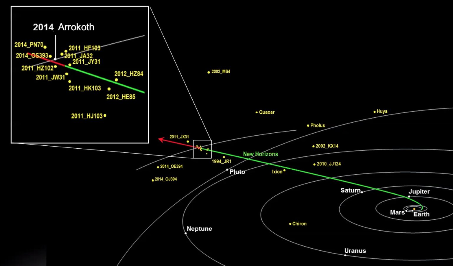
As New Horizons traveled from Pluto to the asteroid Arrokoth in 2018, scientists used it to take images of the relatively nearby asteroids that it was passing, and found that two of those asteroids appeared elongated.
[T]he team fit the shapes with a two-body model: two asteroids in a tight orbit. Even though the individual rocks weren’t resolved, the modeling showed that two bodies were better able to explain the elongation, as well as the brightness seen. The model for 2011 JY31 had two 50-km-wide objects nearly 200 km apart, while for 2014 OS393, the model had slightly smaller bodies (30 km across) that orbited each other 150 km apart.
The map, cropped and further annotated by me, shows New Horizons’ path during this time period, with the two binary asteroids indicated in blue.
This data, combined with the double lobe shape of Arrokoth (formerly named Ultima Thule), strongly suggests that it was not unusual for these primitives asteroids in the early solar system to coalesce from comparably sized partners.

