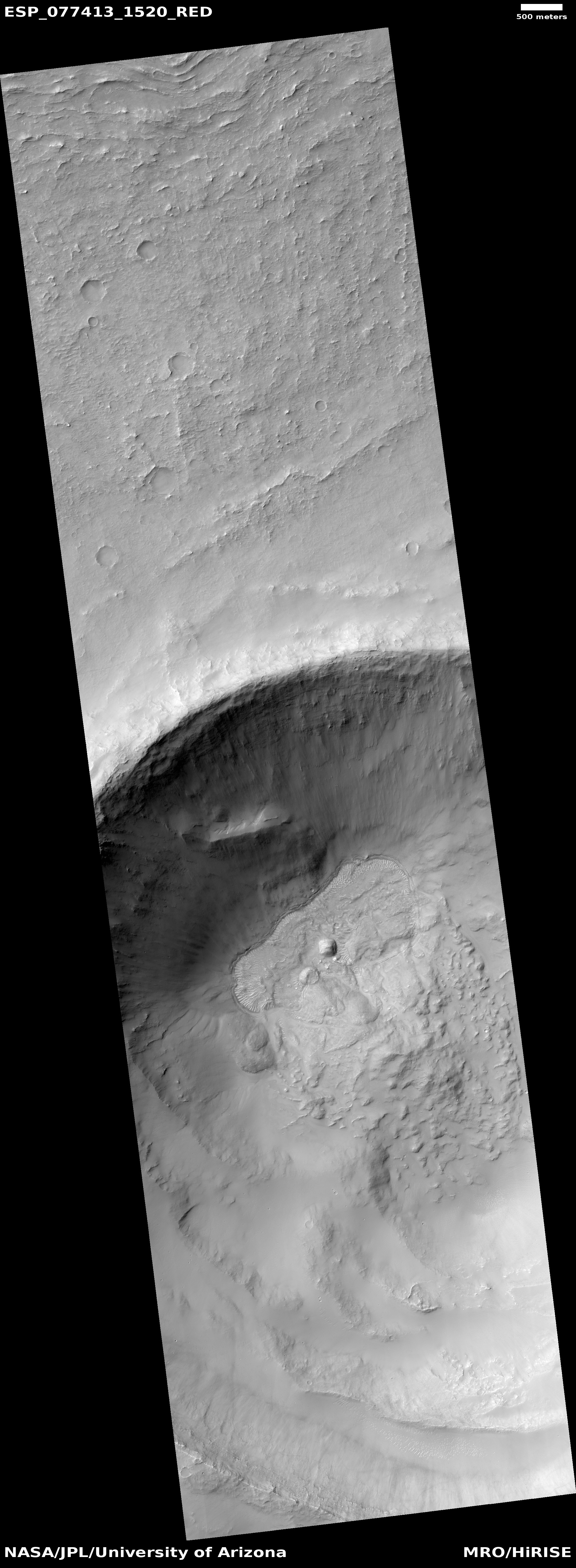
A typical glacier, on Mars

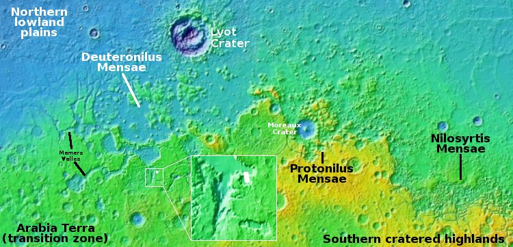
Overview map

A typical glacier, on Mars
Click for original image.

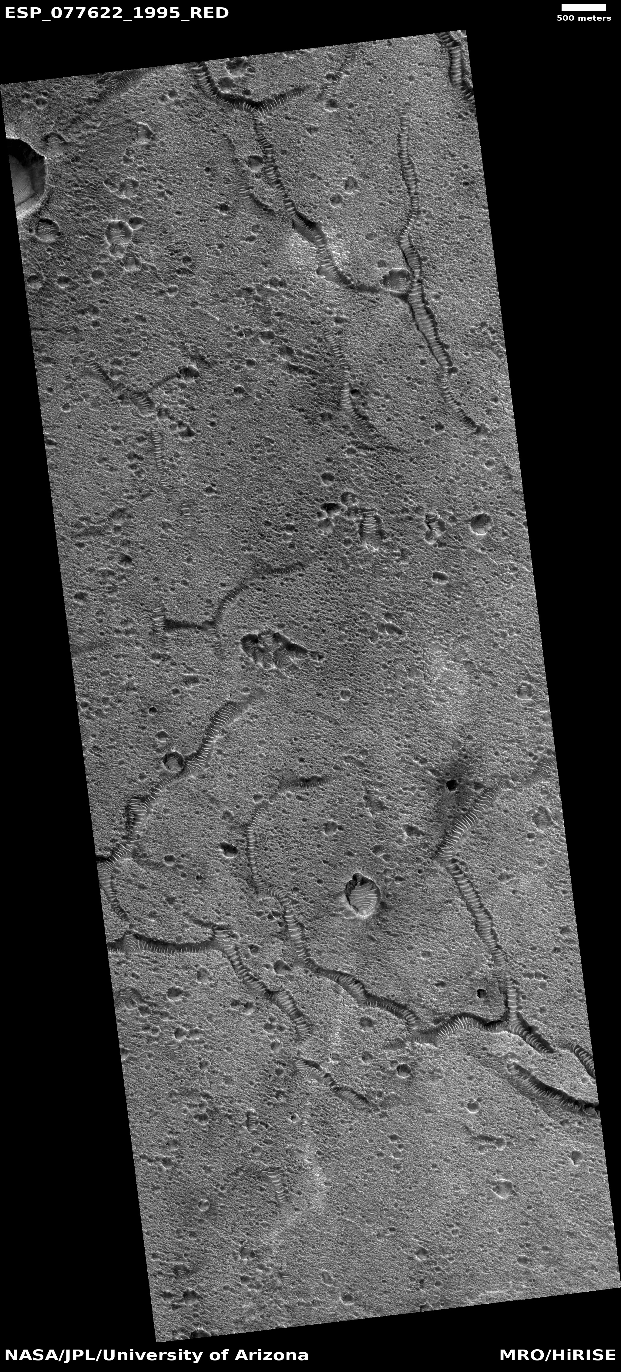
The cool image from Mars to the right, rotated, cropped, reduced, and sharpened to post here, provides us a good illustration of the lineated grooves that are typically seen on the surface of valley-confined glaciers, both on Earth and on Mars, and are also seen on the patched, grooved surface of Ganymede.

The picture was taken on March 13, 2023 by the high resolution camera on Mars Reconnaissance Orbiter (MRO), and shows what appears to be a glacier flowing through a constriction. The arrow indicates the direction of the downhill grade.

The location, indicated by the white dot inside the inset on the overview map above, marks the location, in the western end of the 2,000 long northern mid-latitude strip on Mars I dub glacier country. In these three mensae regions (Deuteronilus, Protonilus, and Nilosyrtis) of chaos terrain practically every high resolution image shows features that resemble glaciers.

In this case, the glacial flow appears to be draining from a 10-mile-wide ponded circular valley though a narrow gap.
0 comments

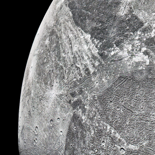
The grooved surface of Ganymede

The grooves of Ganymede
Click for original image.

Cool image time! The picture to the right, reduced to post here, was taken on June 7, 2021 when the Jupiter orbiter Juno did a close flyby of the moon Ganymede, taking four pictures.

Citizen scientists Gerald Eichstädt and Thomas Thomopoulos have now reprocessed parts of those images to bring out the details more clearly (the other new versions available here, and here).

I have chosen to highlight the picture to the right however because it so clearly shows the puzzling grooves that cover much of Ganymede’s surface. While these parallel grooves in many ways mimic the grooves often seen on top of valley glaciers on Earth and Mars, on Ganymede they do not follow any valley floor. Instead, they form patches of parallel grooves that travel in completely different directions, depending on the patch. At the moment their origin is not understood.

These grooves are one of the mysteries that Europe’s Juice probe will attempt to solve when it arrives in orbit around Jupiter in 2031.

1 comment

Webb detects large water plume released from Saturn’s moon Enceladus

Water vapor plume seen by Webb
Click for original image.

Using the infrared cameras on the Webb Space Telescope, astronomers have detected a surprisingly long and large plume of water vapor erupting from the tiger stripe fractures on Saturn’s moon Enceladus that scientists for years have detected vapor plumes.

The false color image to the right shows that plume.

A water vapor plume from Saturn’s moon Enceladus spanning more than 6,000 miles – nearly the distance from Los Angeles, California to Buenos Aires, Argentina – has been detected by researchers using NASA’s James Webb Space Telescope. Not only is this the first time such a water emission has been seen over such an expansive distance, but Webb is also giving scientists a direct look, for the first time, at how this emission feeds the water supply for the entire system of Saturn and its rings.

…The length of the plume was not the only characteristic that intrigued researchers. The rate at which the water vapor is gushing out, about 79 gallons per second, is also particularly impressive. At this rate, you could fill an Olympic-sized swimming pool in just a couple of hours. In comparison, doing so with a garden hose on Earth would take more than 2 weeks.

Though that rate of release sounds large, we must remember it is being released from a moon 313 miles across. From that perspective the rate of flow is quite reasonable.

2 comments

Cracking pedestal crater near Mars’ north pole

Cracking pedestal crater near Mars' north pole
Click for original image.

Cool image time! The picture to the right, cropped, reduced, and sharpened to post here, was taken on March 18, 2023 by the high resolution camera on Mars Reconnaissance Orbiter (MRO). I have also rotated it so that north is to the top.

Labeled a “terrain sample” by the camera team, this picture was likely taken not as part of any specific research project, but to fill a gap in the camera’s schedule so as to maintain its proper temperature. As usual, when the camera team needs to do this, they try to pick a target of interest. Sometimes they succeed, sometimes not.

In this case, the picture is of a location only about 800 miles from the Martian north pole, on the northern lowland plains. While the section shown to the right focuses on the largest crater, the full picture includes a few others, all of which appear to have their interior floors cracking in the same way, and all appear to be pedestal craters, sitting above the surrounding terrain, though by not as much.
» Read more

0 comments

China unveils next Shenzhou launch date and crew to its space station

China today revealed the next three-man crew to occupy its Tiangong-3 space station, with a planned launch in a Shenzhou crew capsule targeting May 30, 2023, Chinese time.

Because of time differences, that launch will occur tonight at 6:28 pm tonight, Pacific time. The rocket will be a Long March 2F taking off from China’s western interior Jiuquan spaceport. The rocket’s lower stages will therefore crash somewhere in China.

The crew will remain on board the station for five months, and with one astronaut the first Chinese to fly in space four times.

0 comments

A fractured spot in Mars’ northern lowland plains

A fractured spot in Mars' northern lowland plains
Click for original image.

Cool image time! The picture to the right, cropped, reduced, and sharpened to post here, was taken on February 16, 2023 by the high resolution camera on Mars Reconnaissance Orbiter (MRO). It shows a pockmarked flat plain with a scattering of meandering hollows, each filled with ripple sand dunes that make these depressions resemble at first glance the tracks of tires.

Obviously, we are not looking at evidence of a past giant vehicle moving across the ground on Mars. The MRO science team labels these “fractures,” suggesting some past geological process caused the surface to crack in this manner, with those cracks widening with time due to erosion or sublimation.

The location of course tells us something about that process.
» Read more

2 comments

The eroding north wall of glacial-filled Harmakhis Valles

The north wall of Harmakhis Valles
Click for original image.

Cool image time! The picture to the right, cropped and reduced to post here, was taken on February 8, 2023 by the high resolution camera on Mars Reconnaissance Orbiter (MRO).

We are looking at the 2,400-foot-high cliff, its lower walls clearly cracking horizontally as they sag downward, with other large sections higher up appearing to have been eroded away in larger pieces.

Yet, the ground below this cliff wall appears to have no debris piles, the kind you would expect below a landslide. Instead, that ground appears to be very glacial in nature, with many linear parallel lines suggesting layers.

The overview map below provides us the context, and an explanation as to where that debris has gone.
» Read more

0 comments

Knobs on the floor of a Martian caldera

Knobs on the floor of a Martian caldera
Click for original image.

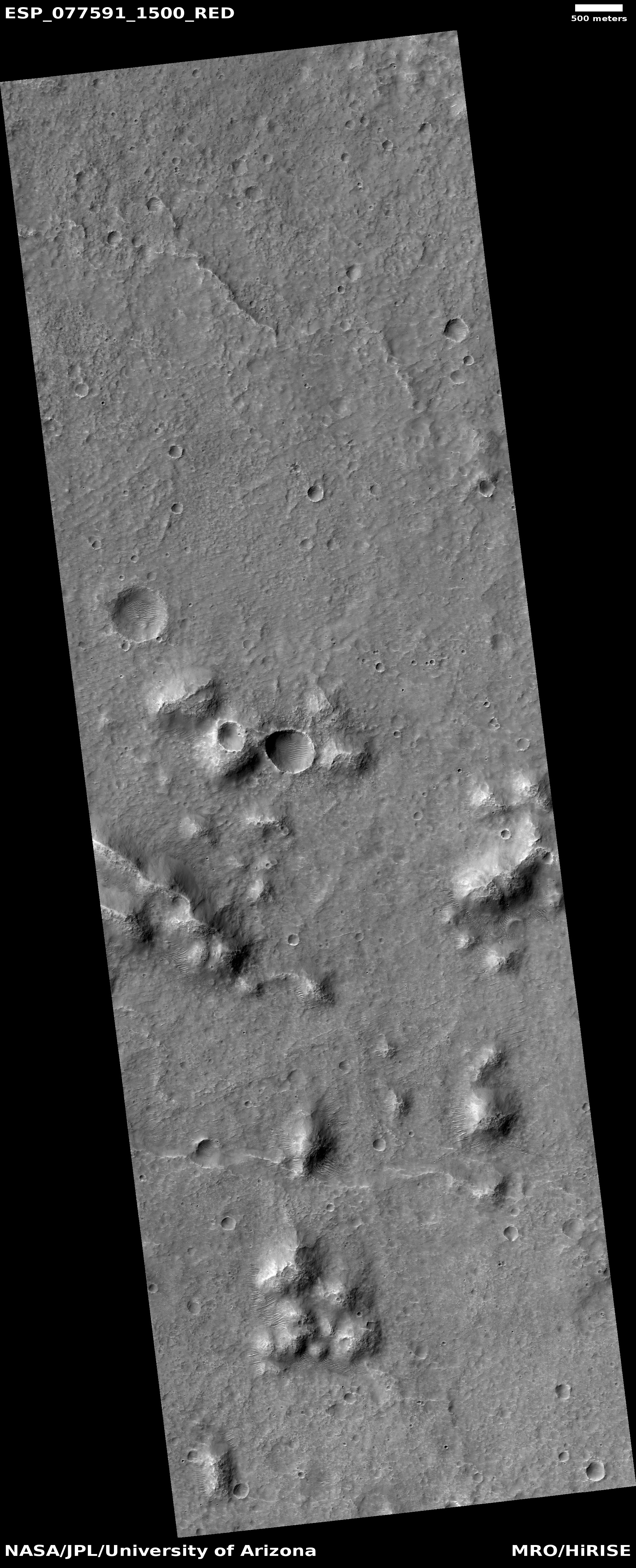
Cool image time! The picture to the right, rotated, cropped, reduced, and sharpened to post here, was taken on February 14, 2023 by the high resolution camera on Mars Reconnaissance Orbiter (MRO) and shows what the scientists have dubbed as “enigmatic knobs” located on the caldera floor of a Martian shield volcano.

The knobs themselves, while puzzling, aren’t that interesting on their own. They are no more than 100 to 200 feet high, and are relatively featureless. Since most lack a pit at their peaks, they are probably not some form of small volcanic vent, though this conclusion is uncertain. The location, at about 30 degrees south latitude, suggests the faint possibility of near surface ice, which could make these mud volcanoes, or a very specific Arctic-type permafrost mound dubbed pingos, but once again the lack of any central pit at their peaks makes these origins also doubtful.

What the knobs however revealed to me was a giant Martian shield volcano I had never noticed before, even though it was hiding in plain sight.
» Read more

0 comments

Frozen waves of Martian lava?

Frozen waves of Martian lava?
Click for original image.

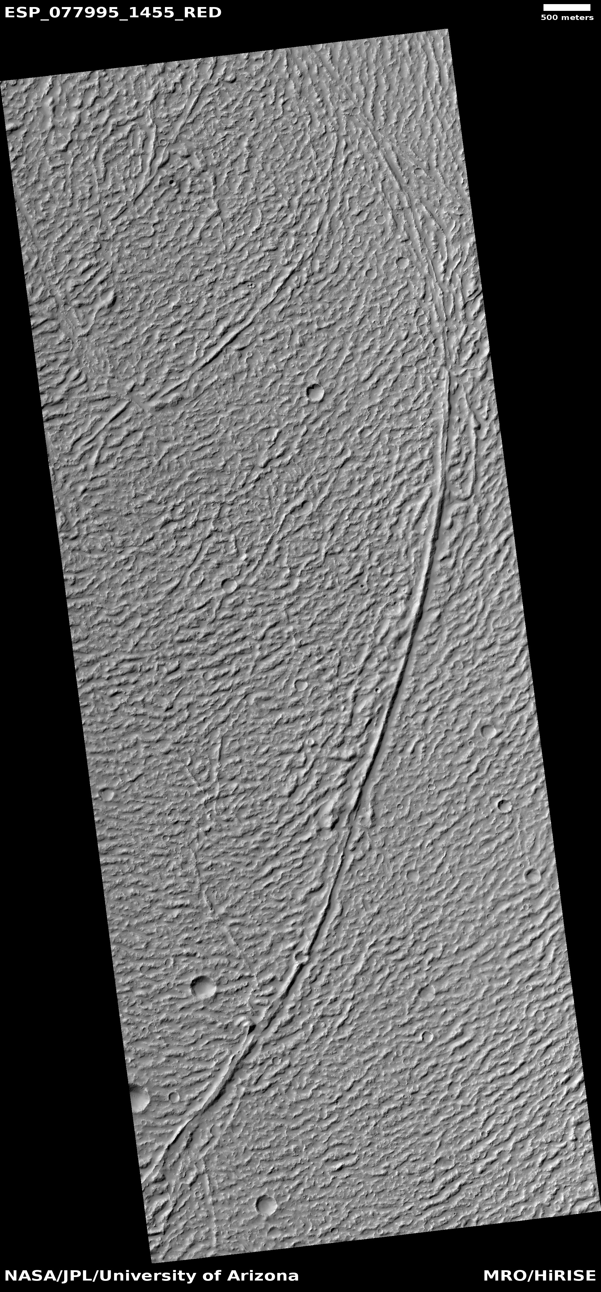
Cool image time! The picture to the right, rotated, cropped, reduced, and sharpened to post here, was taken on March 17, 2023 by the high resolution camera on Mars Reconnaissance Orbiter (MRO). The science team labeled this a terrain sample image, which implies it was taken not as part of any specific request, but to fill a gap in the camera’s schedule in order to maintain its proper temperature.

What are we looking at? This stippled terrain with curved ridges actually extends quite a distance beyond this image. A MRO context camera picture taken on July 22, 2020 shows its full extent, about 10 miles wide but extending to the north and south about 30 miles total, butting up against a north-south mountain chain to its east that is about seventy miles long with its highest peak about 8,000 feet above this plain.
» Read more

0 comments

Lunar Reconnaissance Orbiter spots Hakuto-R1 impact debris on Moon

Hakuto-R1 impact site, before and after
Click for original blink image.

NASA’s Lunar Reconnaissance Orbiter (LRO), scientists have spotted what they think is the impact debris produced when Ispace’s private lunar lander Hakuto-R1 crashed on the Moon on April 25, 2023.

To the right are two LRO images, the first at the top taken prior to Hakuto-R1’s landing attempt. The second at the bottom was acquired by LRO on April 26, 2023, the day after that attempt. The lettered arrows indicate four spots where the scientists identified changes between the two pictures. From the caption:

Arrow A points to a prominent surface change with higher reflectance in the upper left and lower reflectance in the lower right (opposite of nearby surface rocks along the right side of the frame). Arrows B-D point to other changes around the impact site.

According to the LRO science team, these changes suggest different pieces of debris, though it will take more analysis and more images under different lighting conditions to determine more precisely what they have found.

The presence however of four pieces strongly suggests that Hakuto-R1 hit the ground hard enough to break apart. Based on the initial data received during landing, it was thought the spacecraft had touched down softly but then was damaged by some unforeseen obstacle on the ground, such as a large boulder. The LRO image suggests instead that it did not touch down softly at all.

3 comments

Ancient volcano vent in the Martian southern cratered highlands?

Ancient volcano vent on Mars?
Click for original image.

The nature of today’s cool image suggests both ancient and more recent geological activity, each coming from entirely different sources but both helping to shape the alien Martian surface.

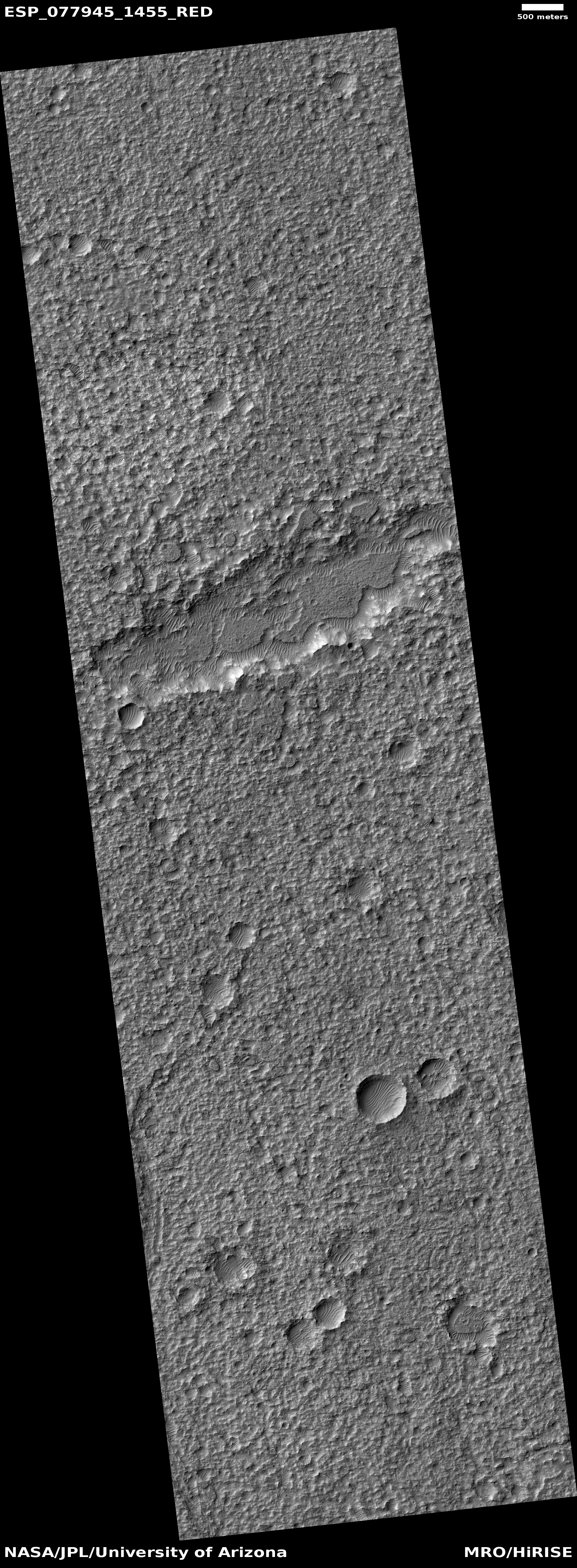
The picture to the right, rotated, cropped, reduced, and sharpened to post here, was taken on March 13, 2023 by the high resolution camera on Mars Reconnaissance Orbiter (MRO). It shows what the science team has labeled an “elongated depression,” sitting in the middle of a relatively flat but very rough stippled circular plain about 60 miles in diameter. An MRO context camera picture, taken on February 19, 2012, covered the central strip of this plain, and shows that its surface is equally rough and stippled everywhere, with only a few craters and one or two slight changes in elevation.

So, how does this feature tell us both about the ancient and recent geological history of this spot on Mars?
» Read more

1 comment

Buried dying glacier in the Martian dry equatorial regions?

Buried glacial ice in dry equatorial regions?
Click for original image.

Today’s cool image from Mars is not so much unique visually as it is unique in terms of its location. The picture to the right, rotated, cropped, reduced, and sharpened to post here, was taken on January 31, 2023 by the high resolution camera on Mars Reconnaissance Orbiter (MRO). It shows the northern rim of a small crater, with its floor filled with an intriguing mound of material.

The picture was labeled a “terrain sample”, which suggests it wasn’t taken as part of any specific research project by instead to fill a gap in the camera’s schedule. To maintain the camera’s proper temperature, it is necessary to take pictures regularly, and when the camera team finds a gap that is too long, they fill it by choosing some almost random target in that gap that might be interesting. Sometimes it is, sometimes not.

In this case I strongly suspect this target was hardly random. The picture title also mentions MRO’s now retired radar CRISM instrument, which was used to detect evidence of underground ice. My guess is that the camera team thus likely decided to image this crater in high resolution because that radar data suggested the presence of underground ice.

This guess is strongly confirmed by a context camera picture taken of this crater on September 1, 2008. The crater appears surrounded by the typical splash apron one routinely sees around impact craters in the mid- and high-latitude northern lowland plains, where there is a lot of near surface ice.

The bumpy mound seen in high resolution on the floor of this crater could very well be buried glacial ice, as it mimics similar features in the many craters in the mid-latitudes of Mars. But is it buried ice? The location says otherwise.
» Read more

1 comment
1 68 69 70 71 72 89