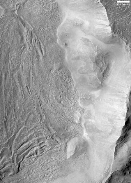
Click for full image.
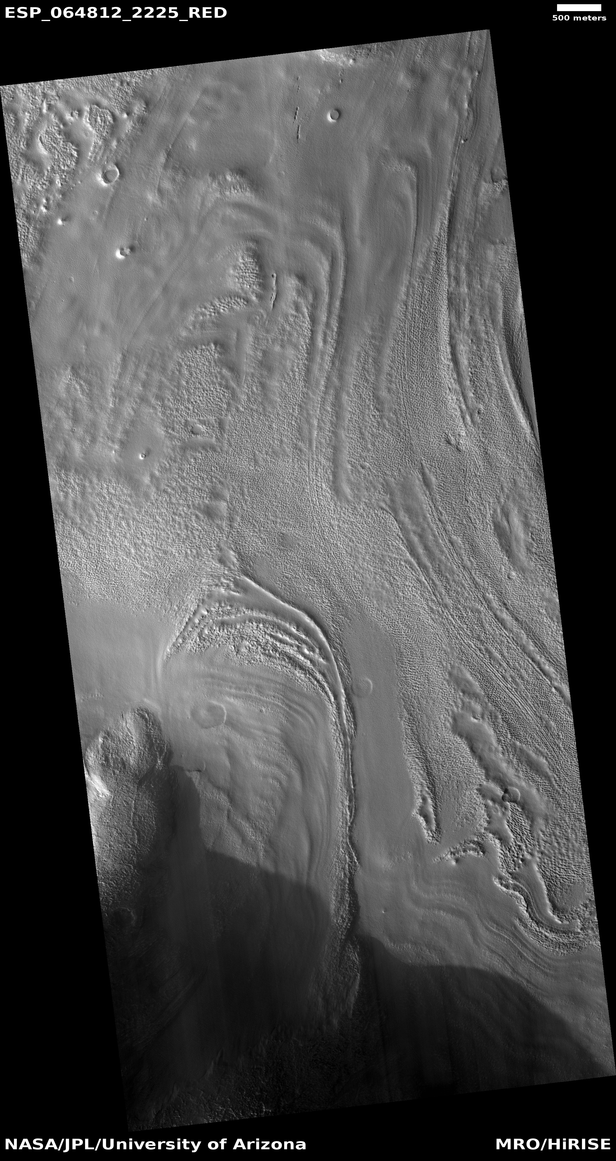
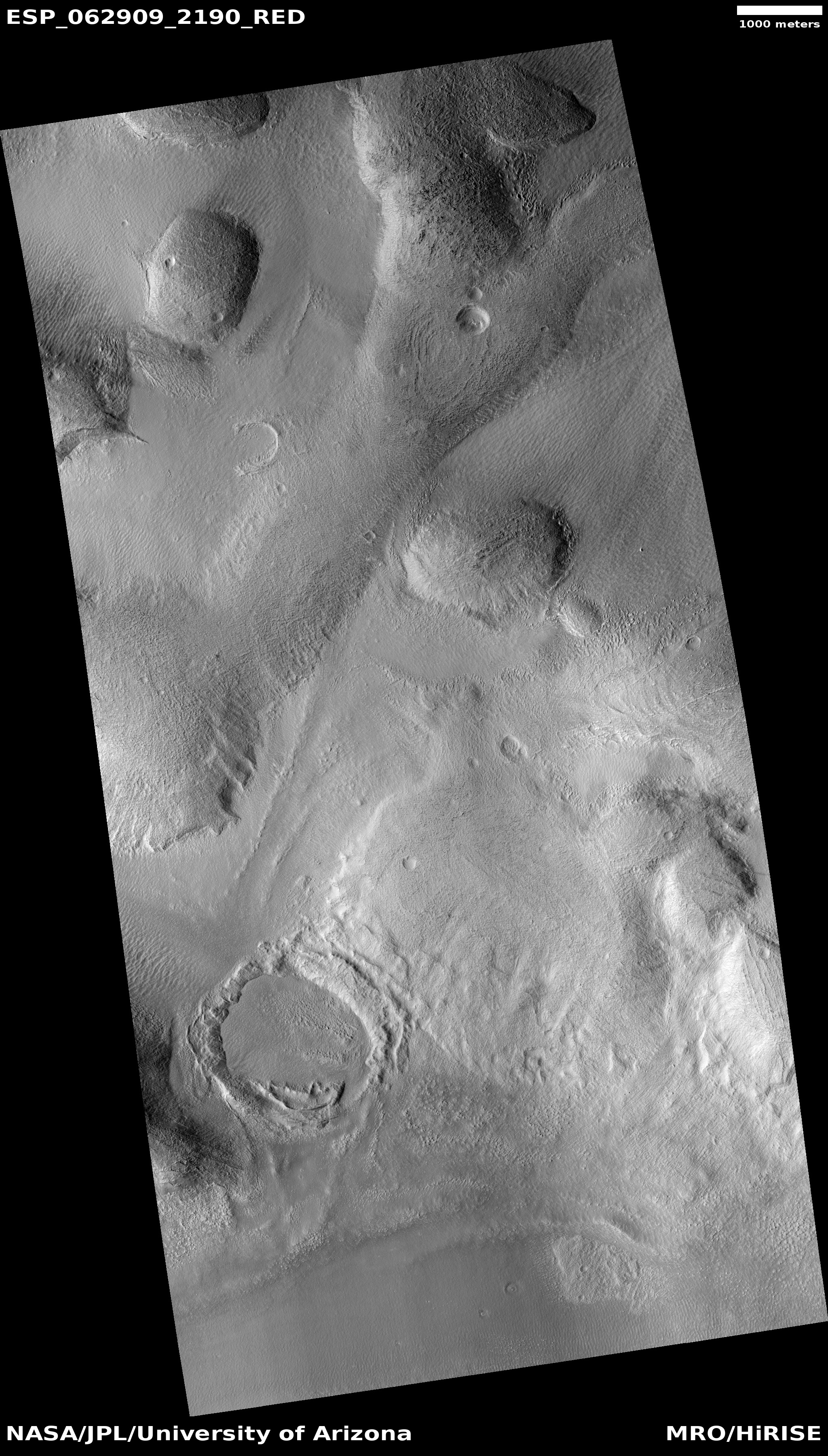
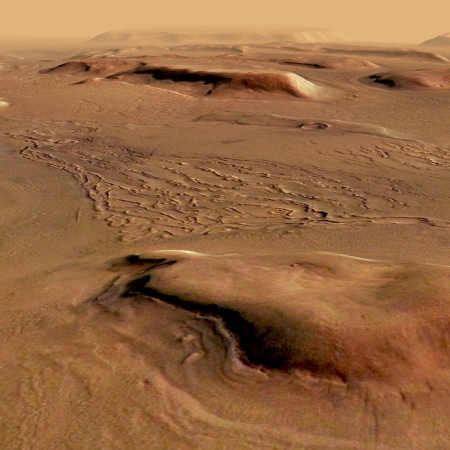
Cool image time! The photograph on the right, rotated, cropped, and reduced to post here, was taken by the high resolution camera on Mars Reconnaissance Orbiter (MRO) on December 21, 2019. It shows the eastern half of the floor and interior rim of a large squarish-shaped crater or depression in what seems to be an unnamed region of chaos terrain located in the transition zone between the Martian southern highlands and the northern lowland plains.
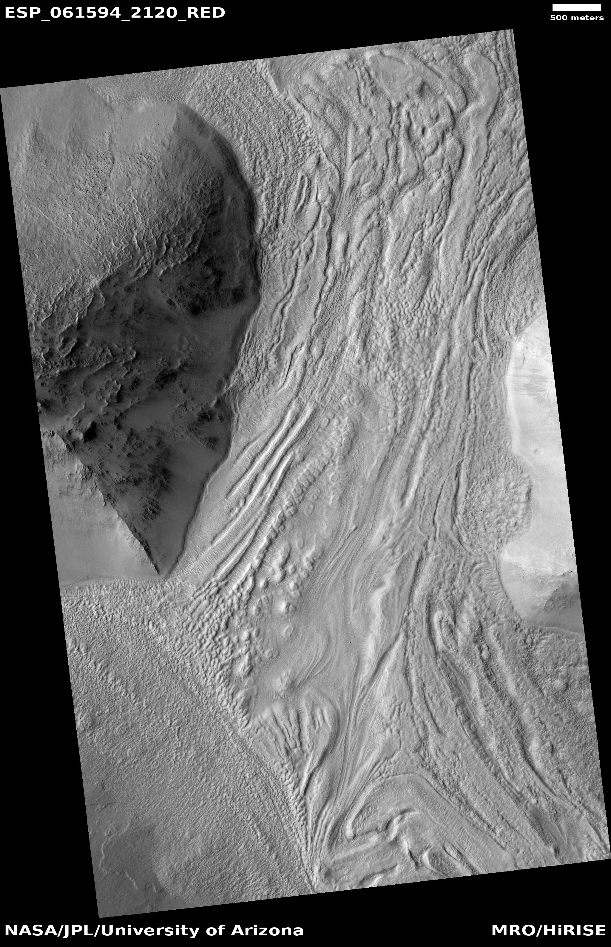
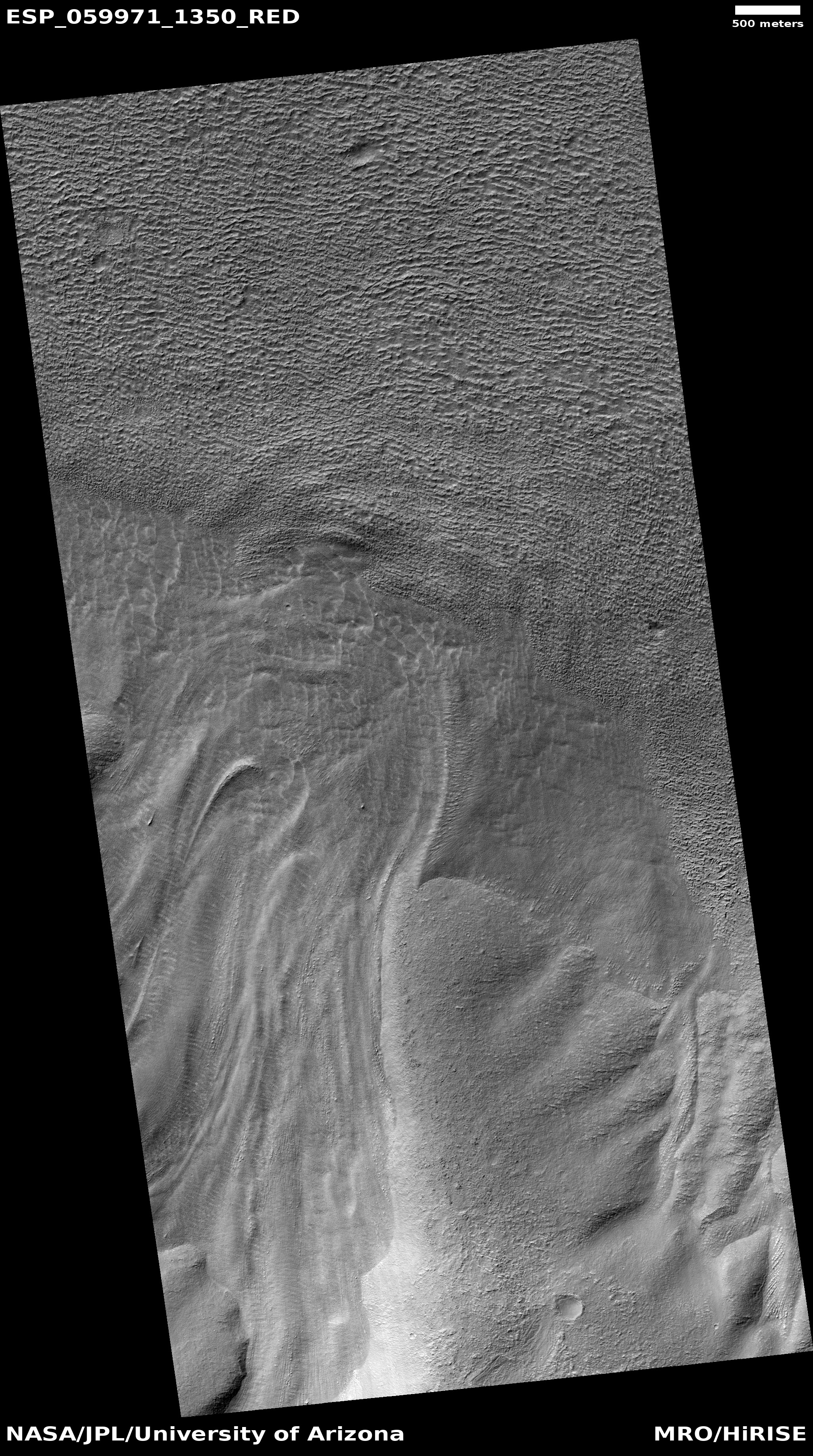
The floor of this depression has many of the features that indicate the presence of a buried ice glacier, including flow features on the depression floor, linear parallel grooves, and repeating moraine features at the slope base. In fact, all these features give the strong impression that this crater is ice-filled, to an unknown depth.
Chaos terrain, a jumble of mesas cut by straight canyons, are generally found in this transition zone, and could be an erosion feature produced by the intermittent ocean that some believe once existed in the northern lowlands. Whether or not an ocean lapped against these mesas and created them, this chaos terrain is believed to have been caused by some form of erosion, either wind, water, or ice.
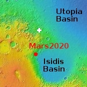
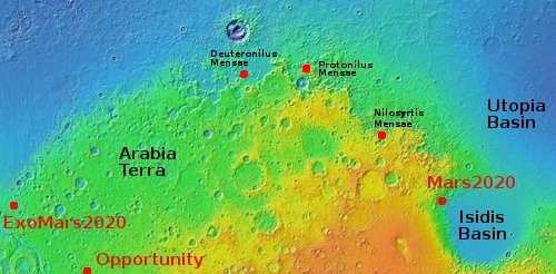
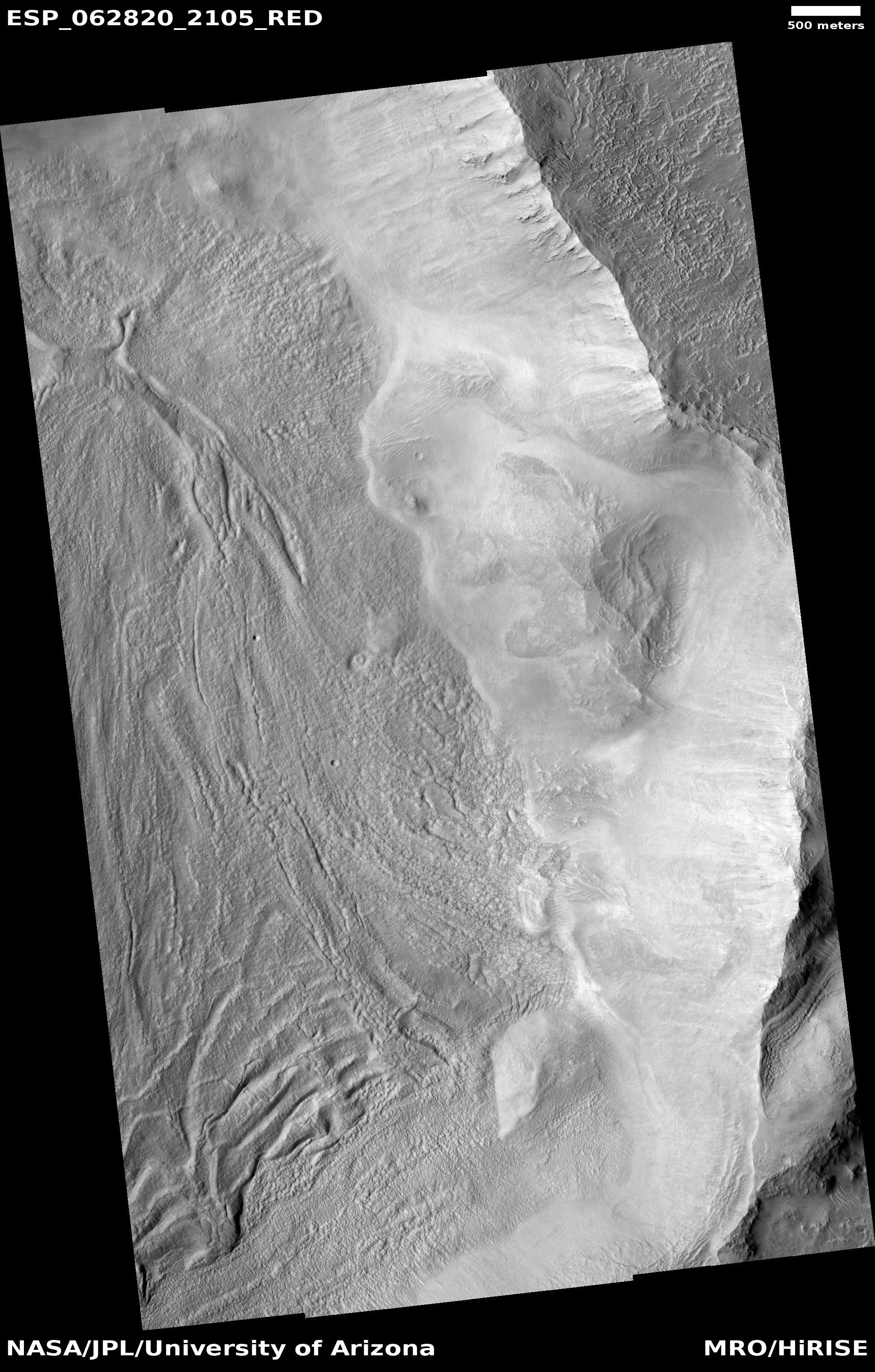
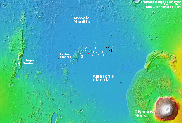
The location is of this chaos terrain in that transition zone is illustrated by the context map to the right. It sits on the edge of the vast Utopia Basin, one of the largest and deepest northern lowland plains. It also sits several hundred miles due north of the planned landing site of the Mars2020 rover in Jezero Crater. There is a lot of chaos terrain in this region, with lots of evidence of buried glaciers flowing off the sides of mesas.
Today’s image, with its numerous features suggesting the presence of a buried glacier filling the depression, reinforces this evidence.
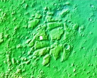
What impresses me most about this particular depression — should it be ice-filled — is its size. I estimate from the scale of the image that the depression is about six miles across, somewhat comparable though slightly smaller than the width of the Grand Canyon. And yet, unlike the Canyon it appears to have a wide flat floor across its entire width. The second context map to the right zooms in on this chaos region to show how relatively large the depression is. It would not be hard to spot it from orbit. We don’t know the depth, but even if relatively shallow this depression still holds a heck of a lot of water ice.
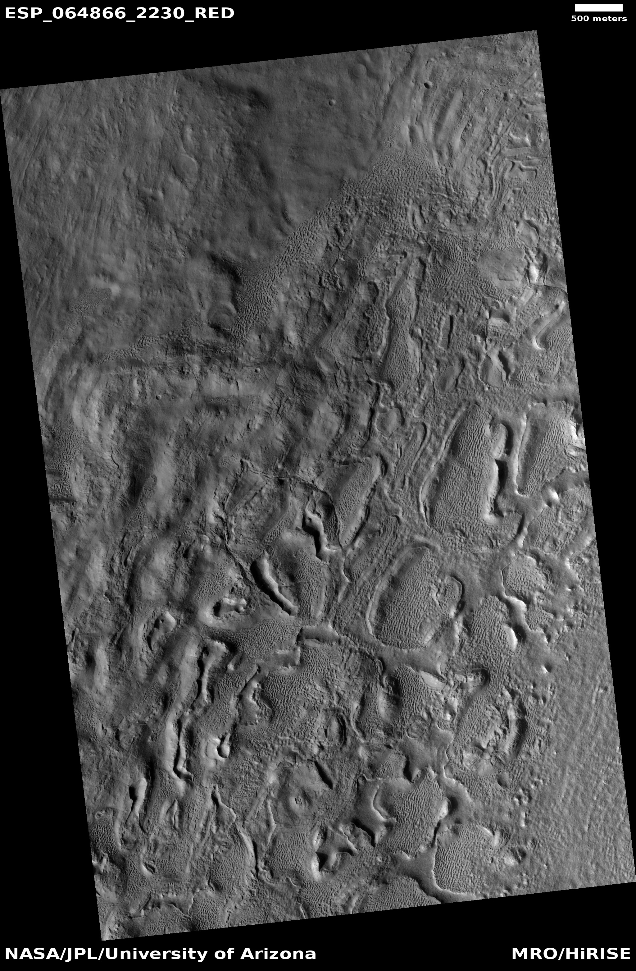
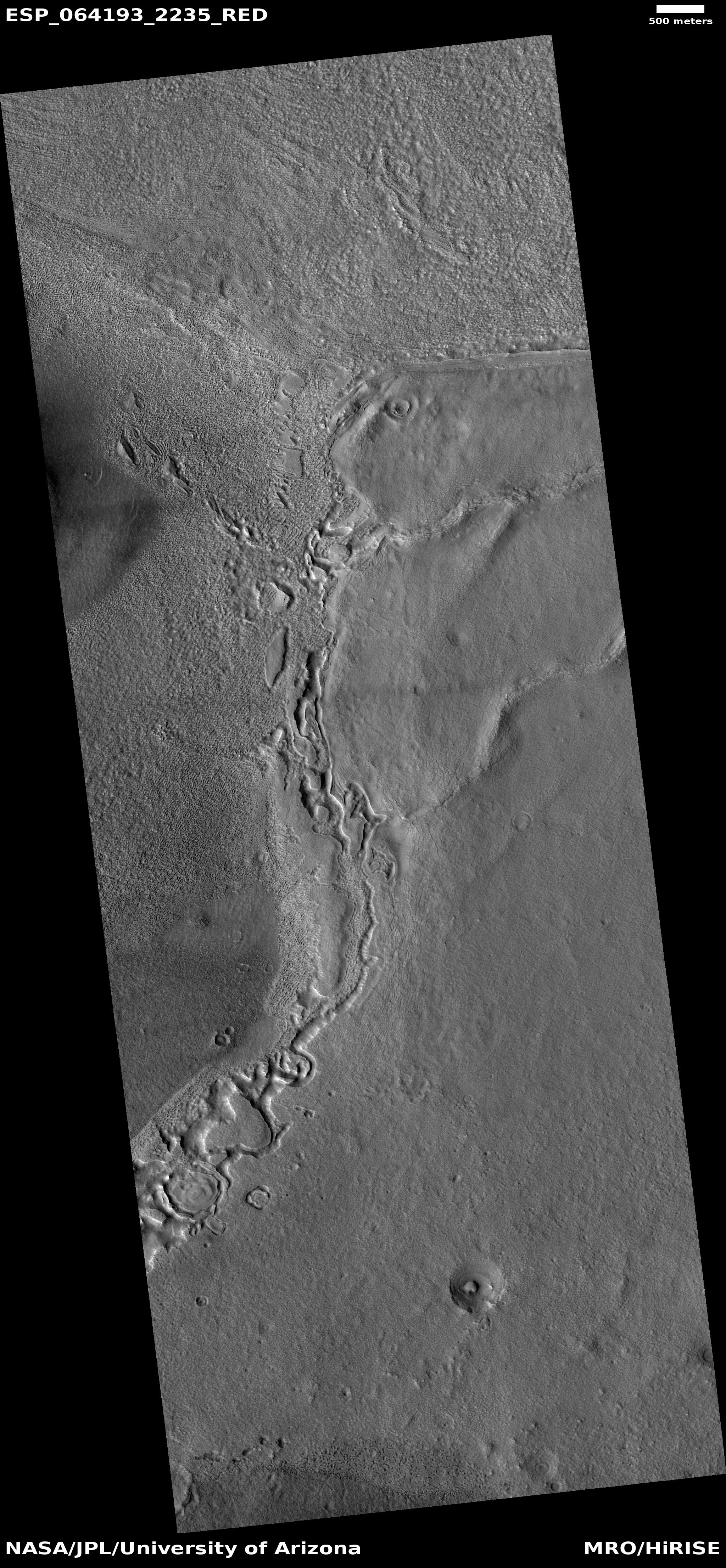
While the depression appears like a crater in lower resolution wider photographs, higher resolution images suggest it is not round but squarish. Why is not clear, and unfortunately MRO’s high resolution camera has taken no other images of it. This image was also one of their terrain sample photographs, taken not because of any specific research request, but because they need to use the camera regularly to maintain its temperature. This location, having few previous images, fit this schedule and made sense photographing.
Thus, no one appears to be specifically studying this location, making it a ripe subject for some postdoc student who wants to put their name on some Martian geology.


