
Giant glaciers in the northern Martian mid-latitudes

Click for original image.
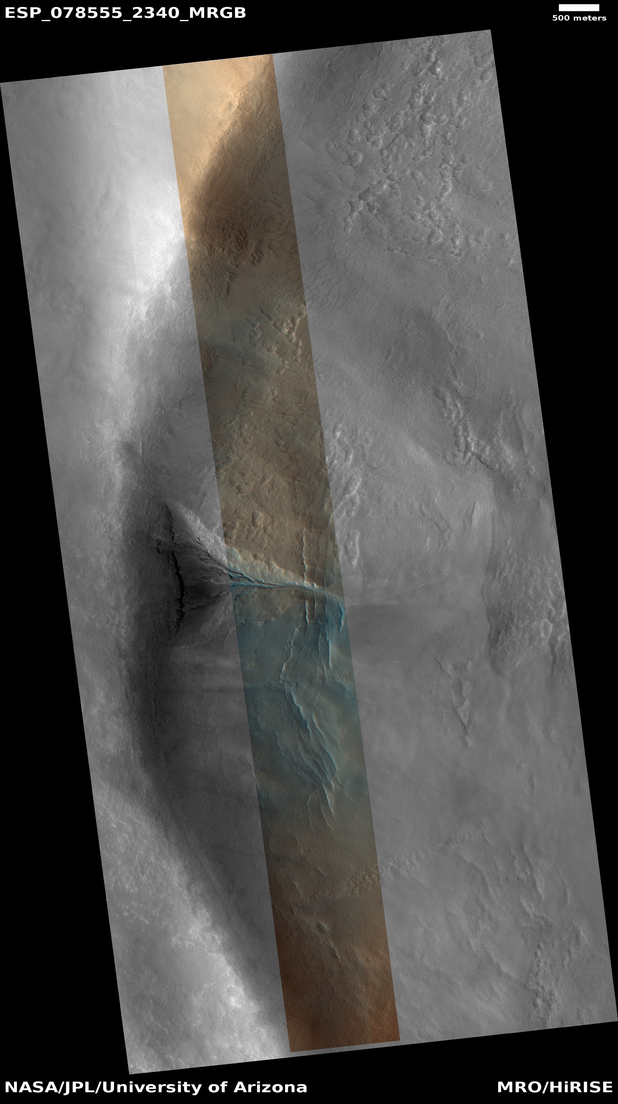
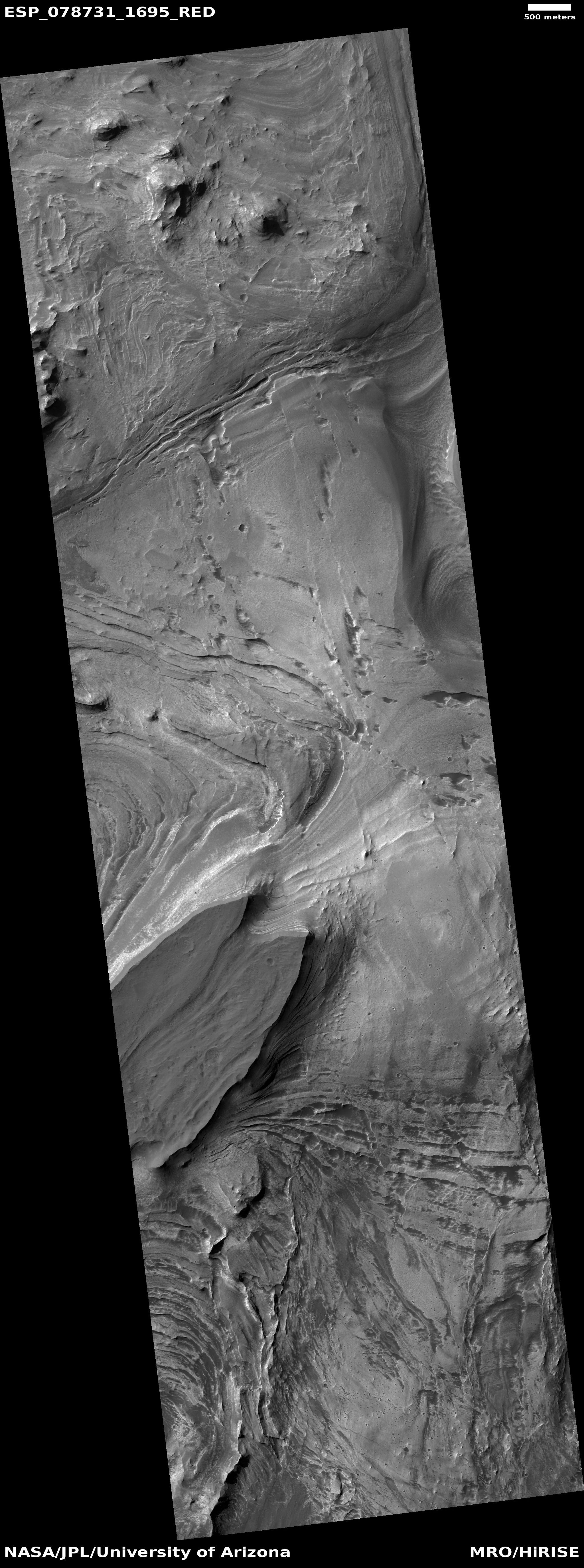
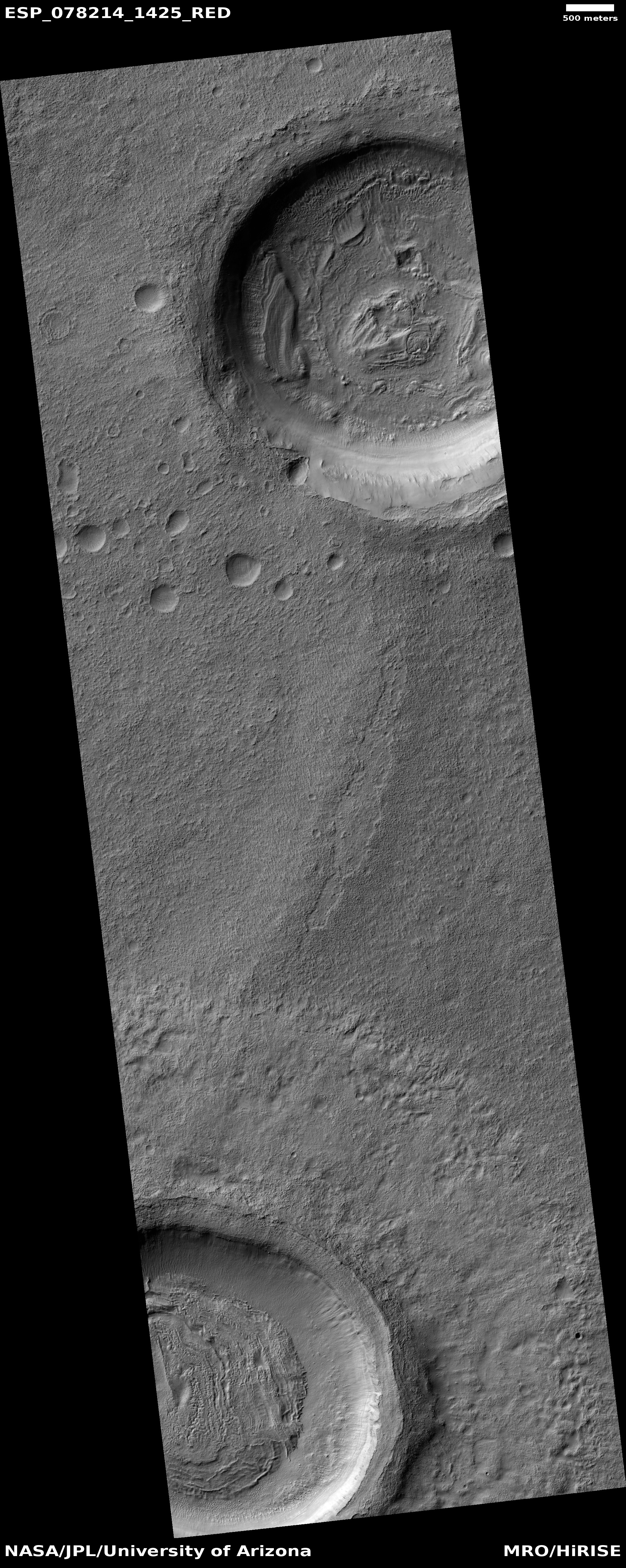
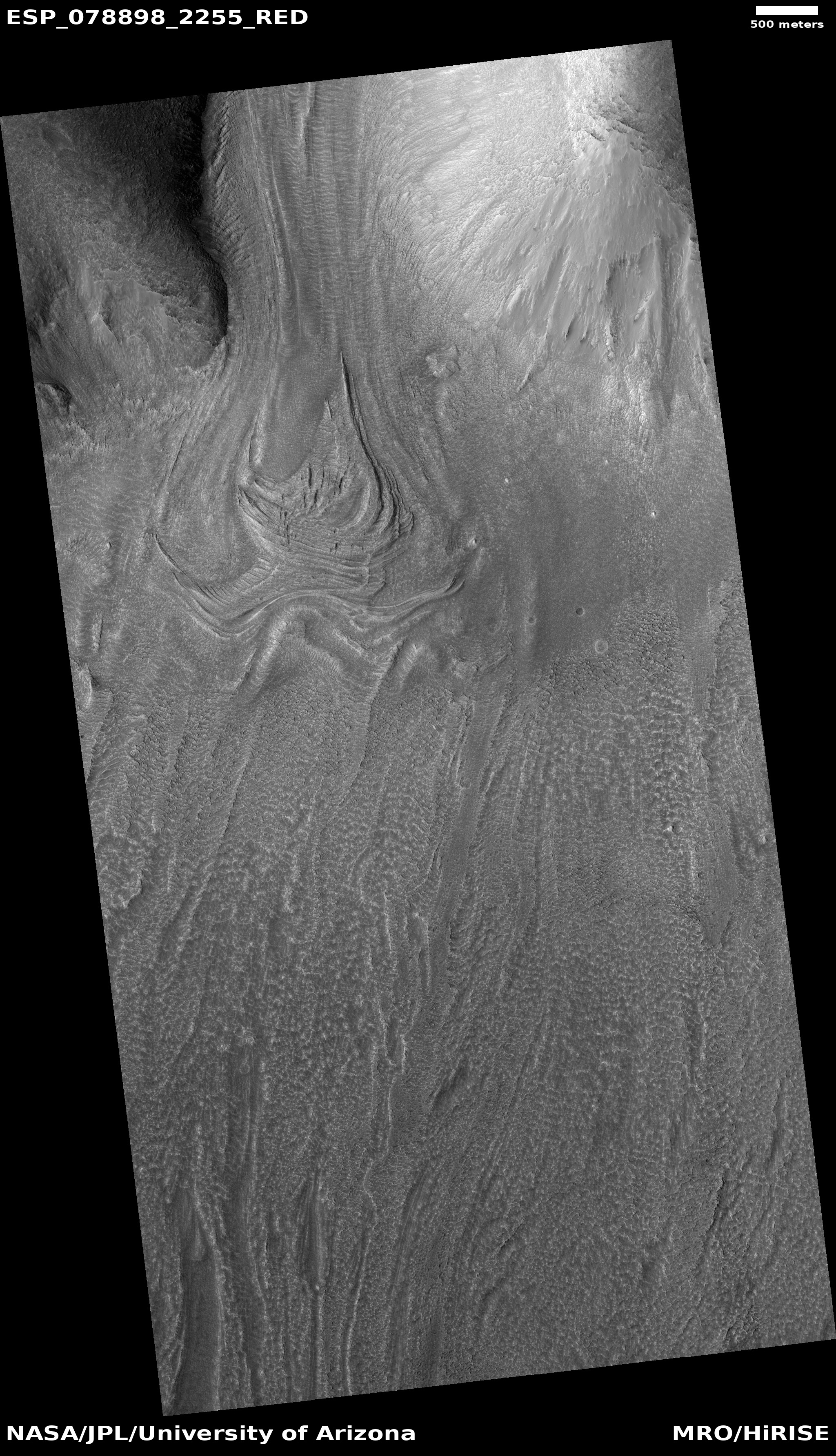
It is time for two cool images! The picture to the right, cropped, reduced, and sharpened to post here, was taken on May 10, 2023 by the high resolution camera on Mars Reconnaissance Orbiter (MRO), and is one of two glaciers imaged by MRO in May that are among a whole series of glaciers flowing down the south wall of the same mesa.
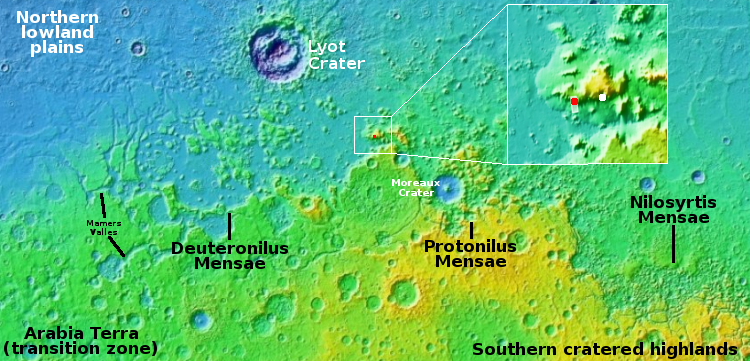
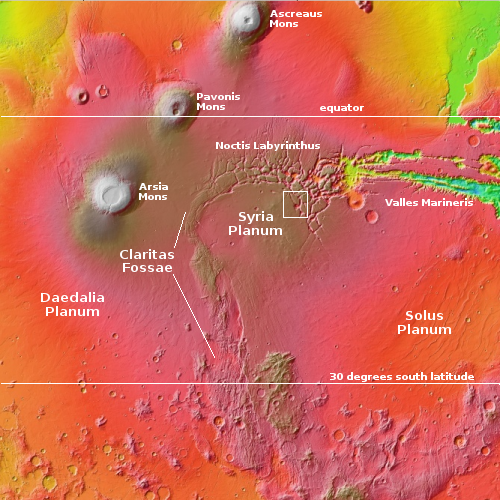
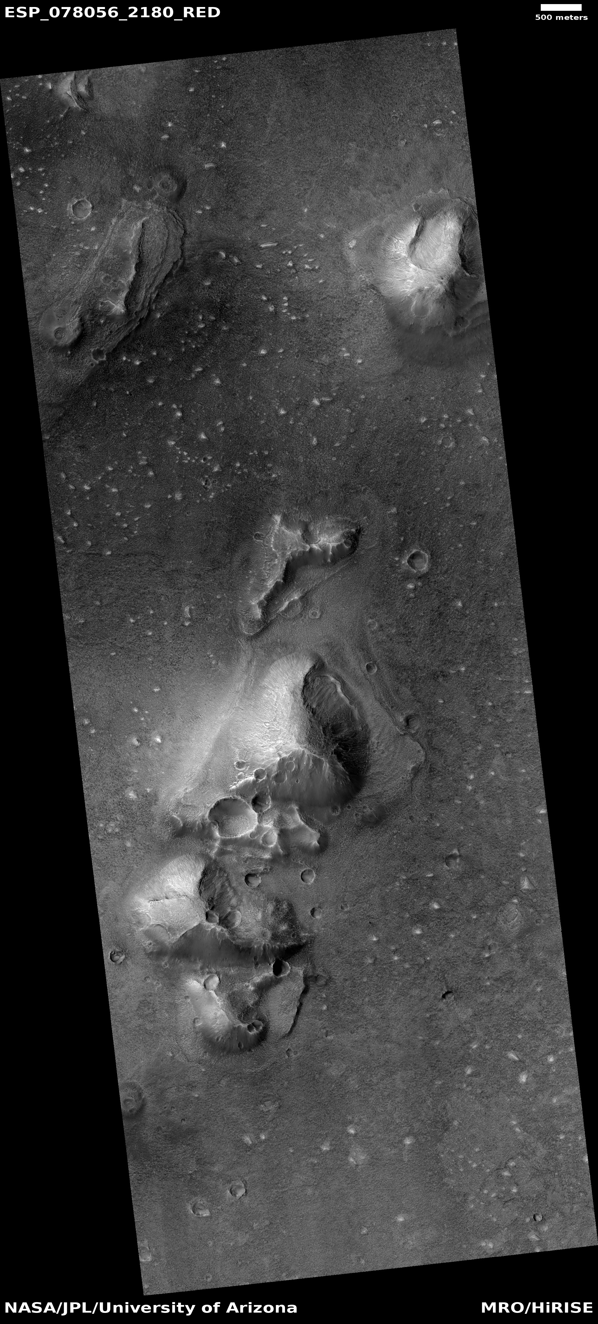
The red dot in the inset and on the overview map above marks the location of the picture to the right. The white dot marks the location of the May 27, 2023 picture, which can be seen here.
The unnamed 10,000-foot-high mesa from which these glaciers flow, located in the middle of the 2,000-mile-long northern mid-latitude strip I dub glacier glacier country, is about 41 miles long and 18 miles wide at its widest point. The glacier to the right falls about 6,000 feet in about four miles, making the grade steep, ranging from 15 to 23 degrees. That steepness explains the split in the glacier, as it flowed around a huge piece of higher bedrock in the middle of this descending hollow.
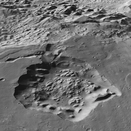
Both images provide further evidence of the dominance of glaciers in this mid-latitude region. While the glaciers are all covered with dust and debris to protect the ice, and are also thought at present to all be inactive, they also all suggest a very dynamic Martian geological and climate history, one that will likely come alive again as the planet’s rotational tilt naturally shifts back and forth from its present 25 degree tilt to 11 to 60 degrees.
The glaciers also show us again that Mars is not a dry desert, but above 30 degrees latitude it is an icy desert much like Antarctica. Colonists will have no trouble finding water.


