
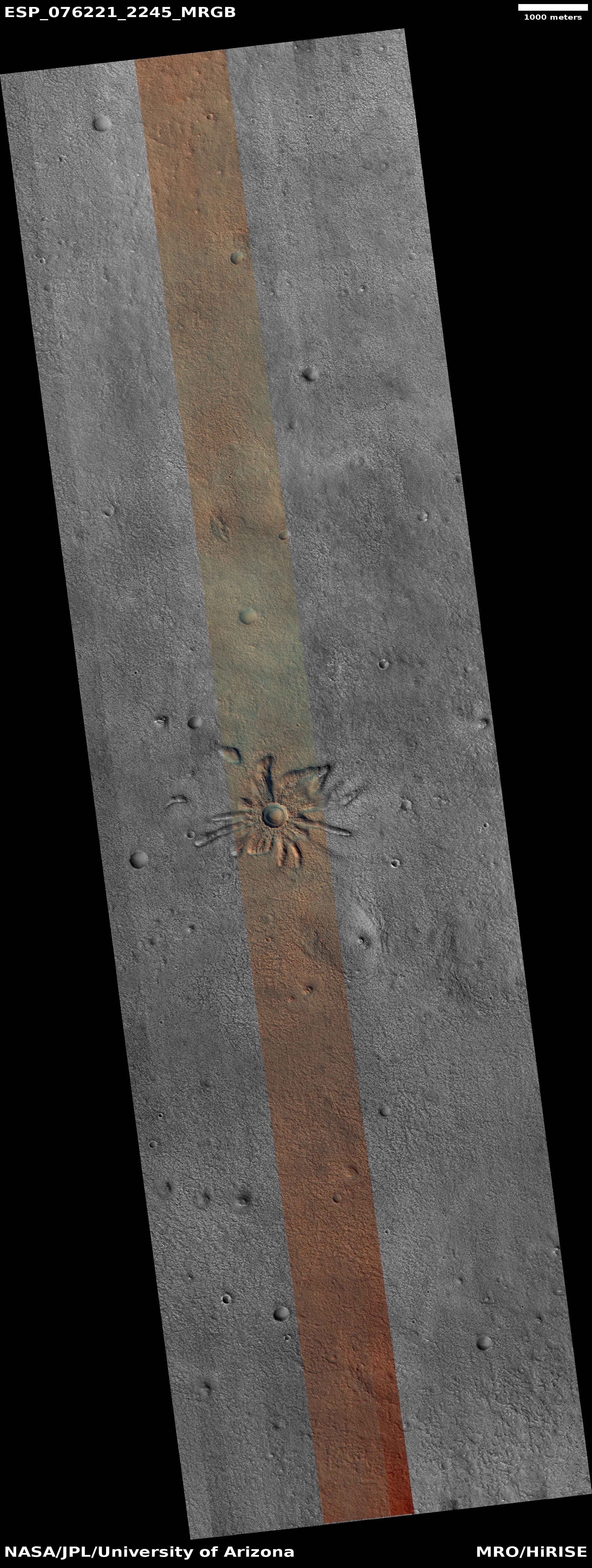
A spray of Martian hollows
Click for full image.
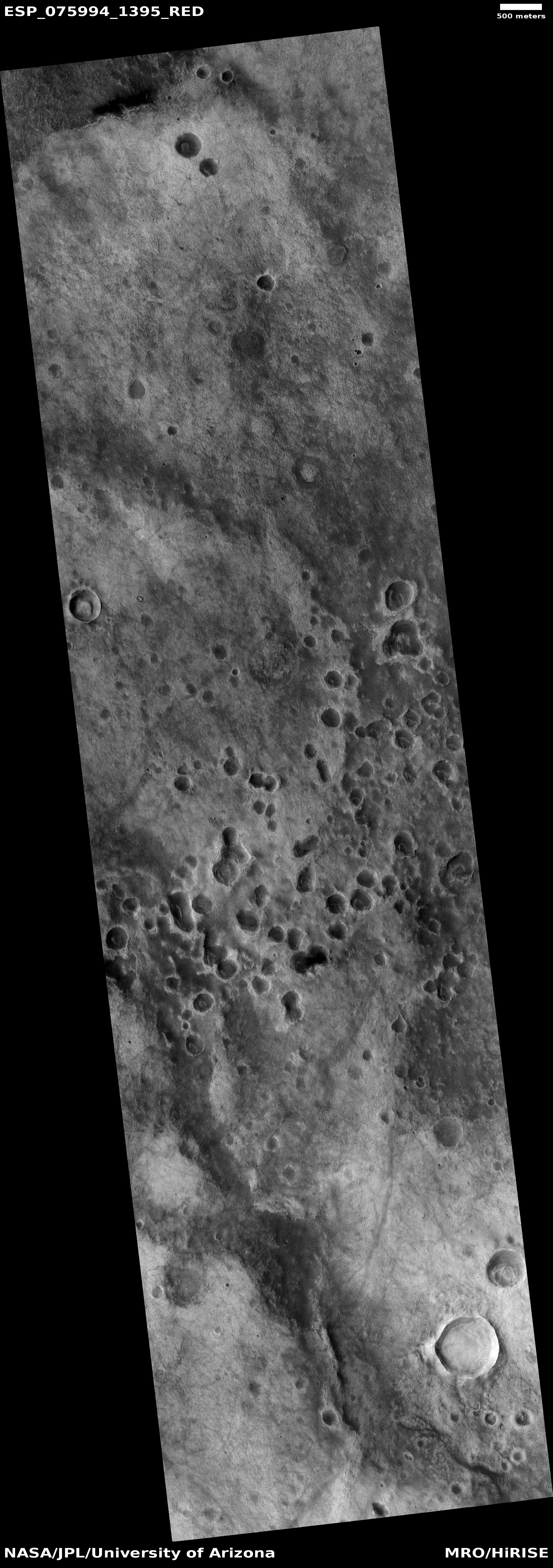
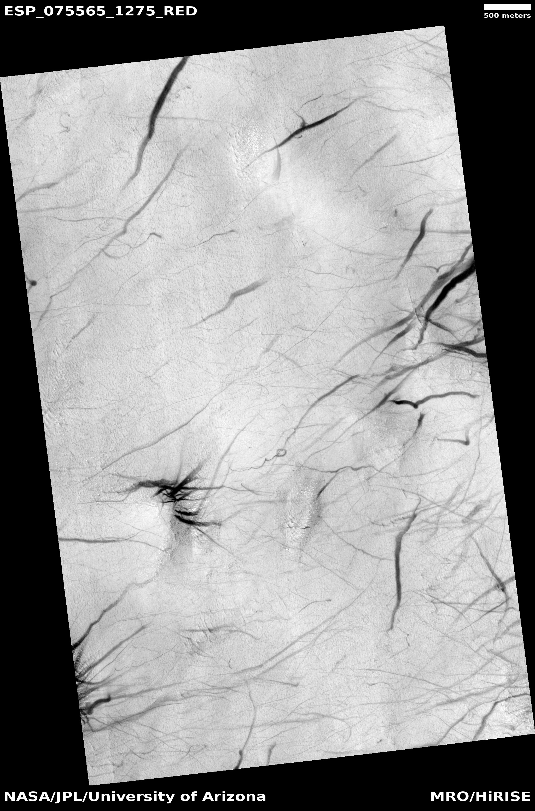
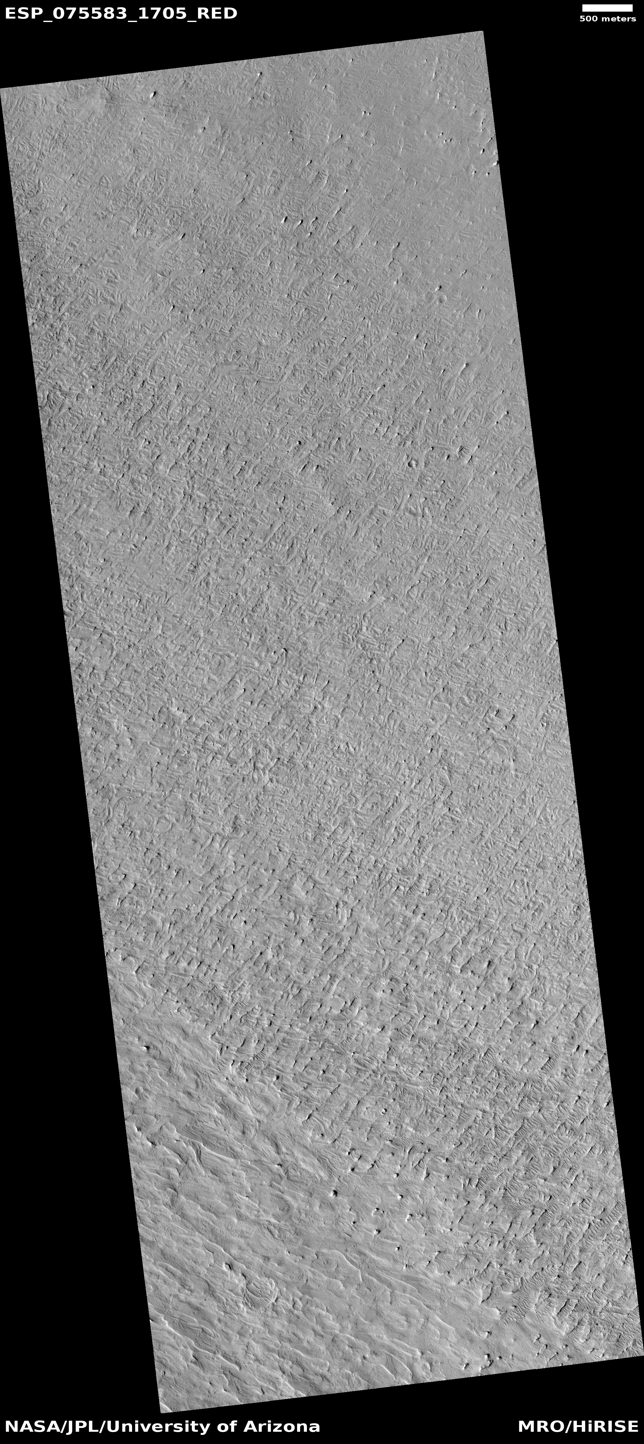
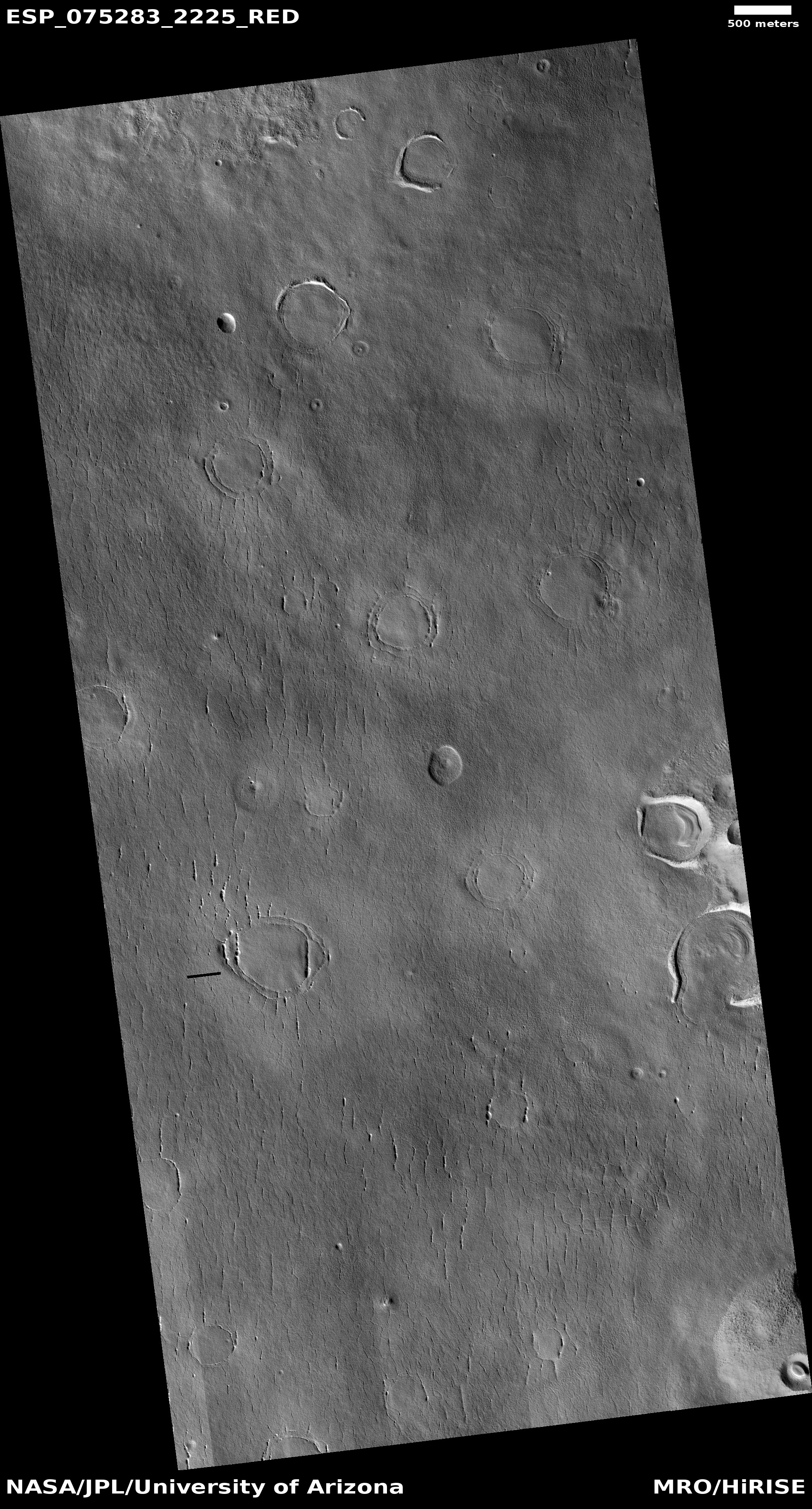
Cool image time! The photo to the right, rotated, cropped, reduced, and sharpened to post here, was taken on October 12. 2022 by the high resolution camera on Mars Reconnaissance Orbiter (MRO). Dubbed simply as a a “terrain sample” by the science team, the picture was not taken as part of any specific research project, but instead to fill a gap in the orbiter’s shooting schedule so as to maintain the camera’s proper temperature. When MRO’s science team does this, they try to pick something in the area below that might be interesting. Sometimes they succeed, but often the features in the picture are nondescript.
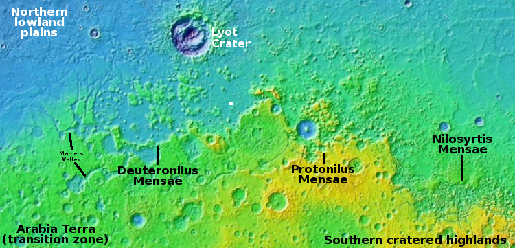
The white line delineates the rim of a faint and very eroded small crater. Are the depressions that are mostly concentrated just to its south and east sinks or past impact craters? I haven’t the faintest idea. The overview map below helps to answer this question, but only partly.
» Read more

