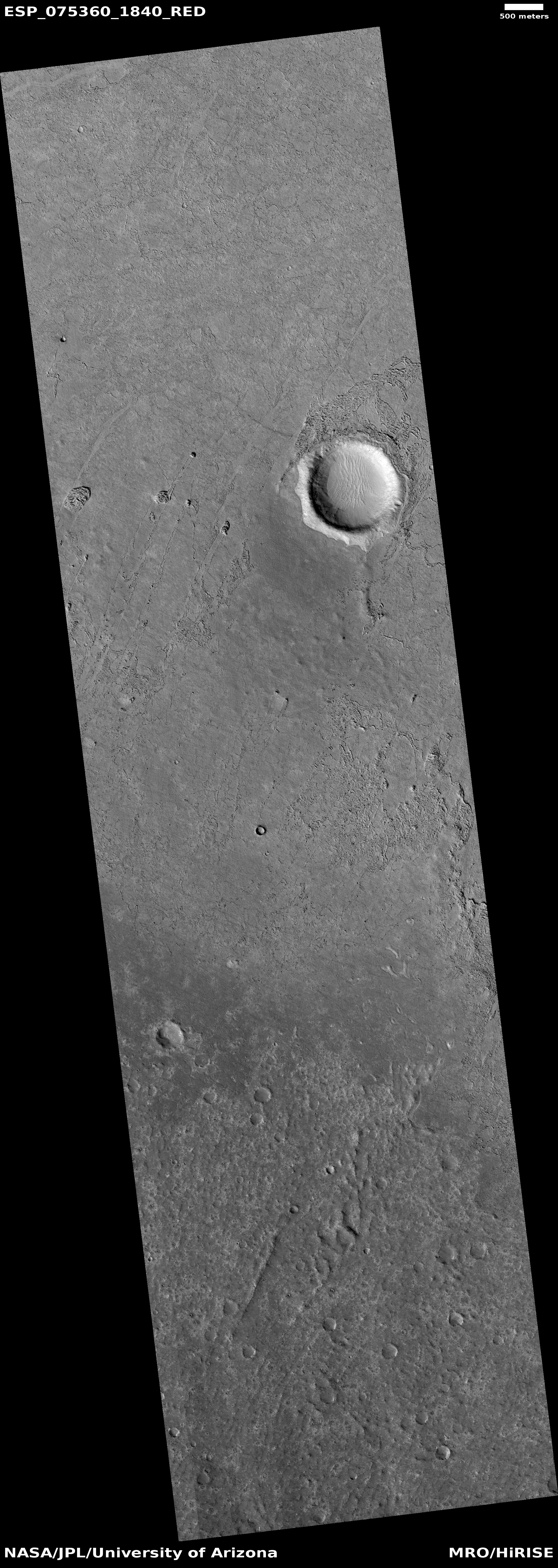
Monitoring the tiger stripes on Martian dunes
Click for full image.
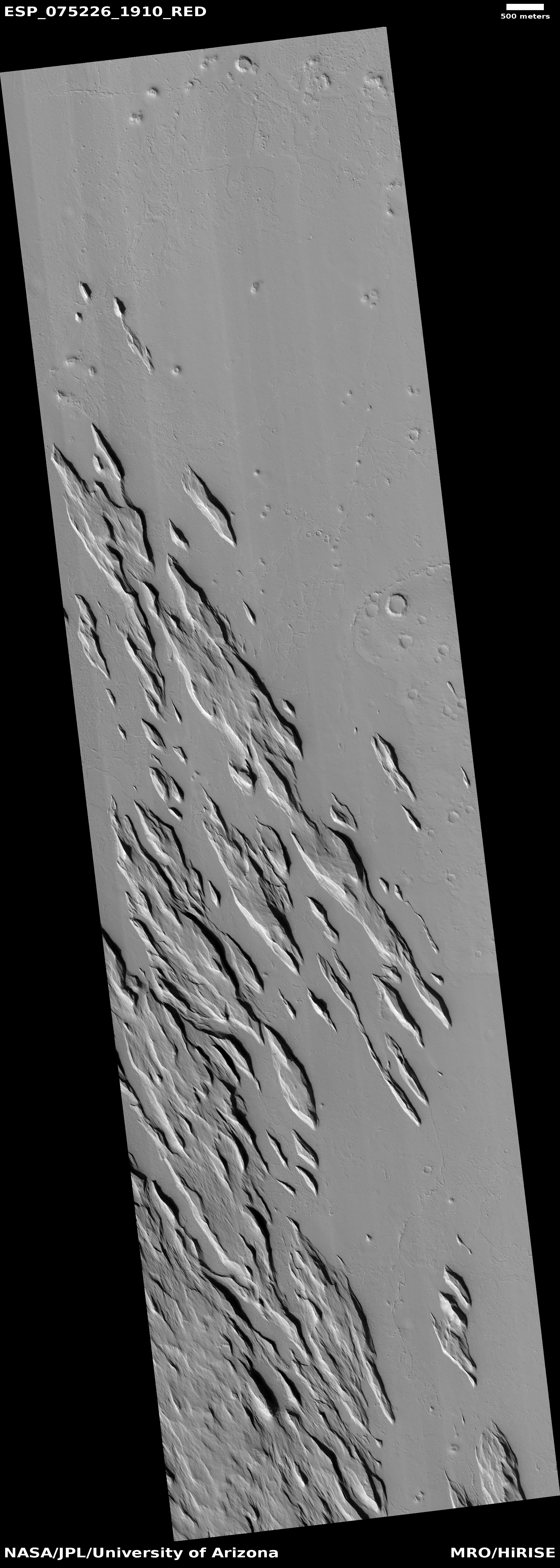
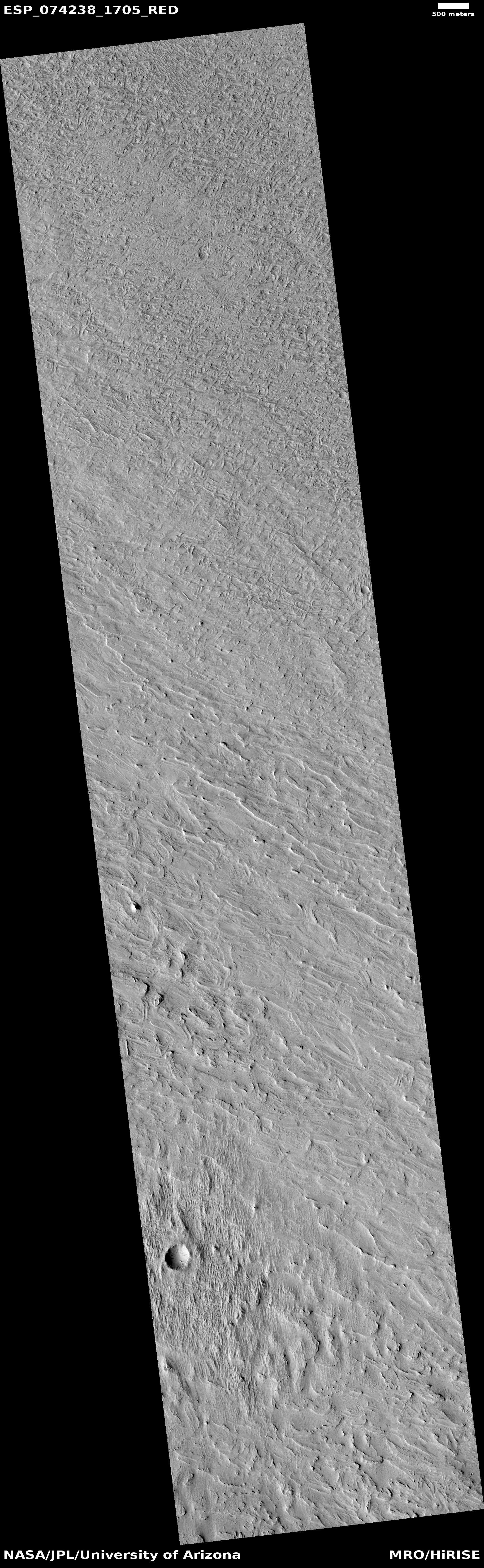
Today’s cool image takes us back to a previous cool image, from December 2020. The photo to the right, rotated, cropped, reduced, and enhanced to post here, was taken on August 22, 2022 as part of a regular monitoring program of these worm-shaped and tiger-striped dunes in 42-mile-wide Kunowsky Crater, located in the northern lowland plains of Mars at the high mid-latitude of 57 degrees north.
The tiger stripes appear to be the northern hemisphere’s version of what are called “spiders” in the south, where each spring the mantle of dry ice that settles on the surface in winter begins to sublimate away, from the bottom up. The trapped gas eventually escapes at the mantle’s weak points where it cracks.
When the gas escapes it spews dust onto the surface, creating the dark patches. In the southern hemisphere, the ground is generally stable, and the gas travels and escapes along the same routes each year, creating relatively permanent spider-like tributary patterns. In the north the ground is less stable, so the dark streaks form more randomly from year to year.
This monitoring campaign, first begun in 2008, is looking to see how these seasonal changes might change these northern dunes. The white rectangle in the image shows an area shown in close-up below, comparing 2020 with 2022 to see what changes might have occurred.
» Read more