A Martian glacier of dust
Click for original image.
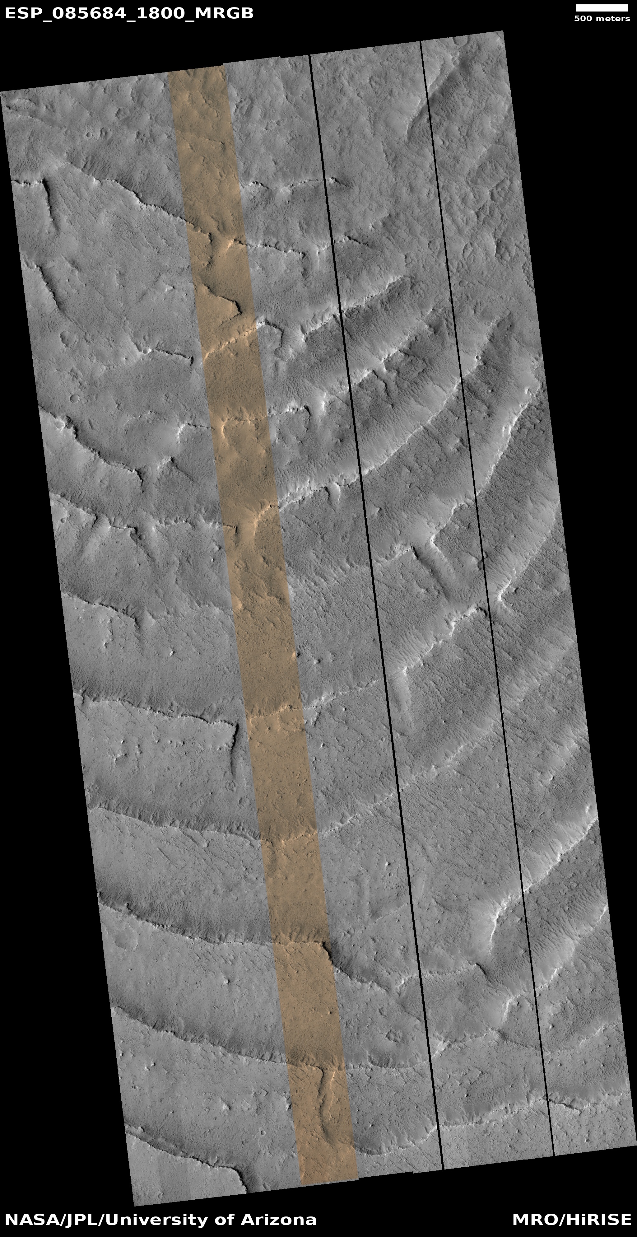
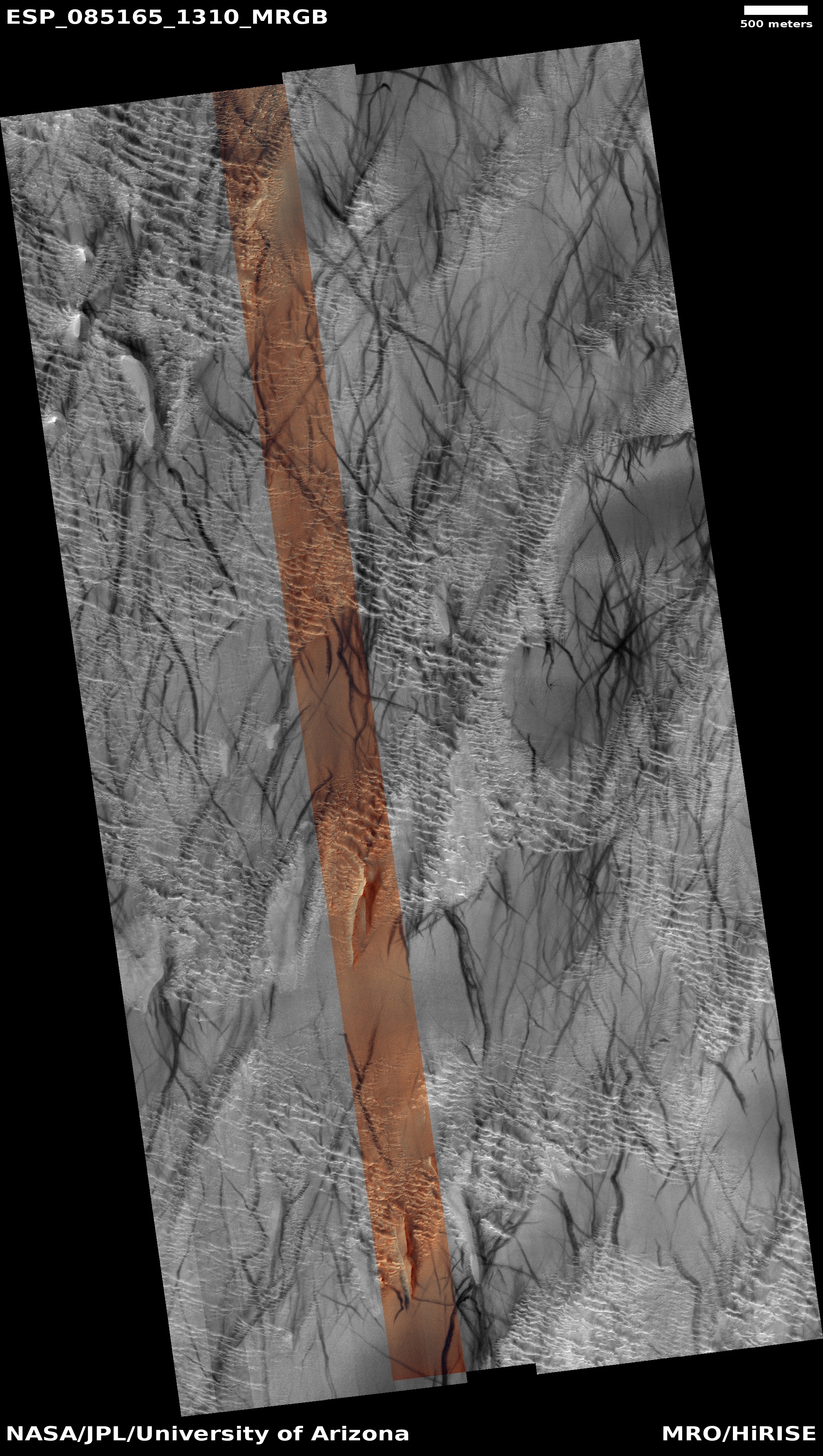
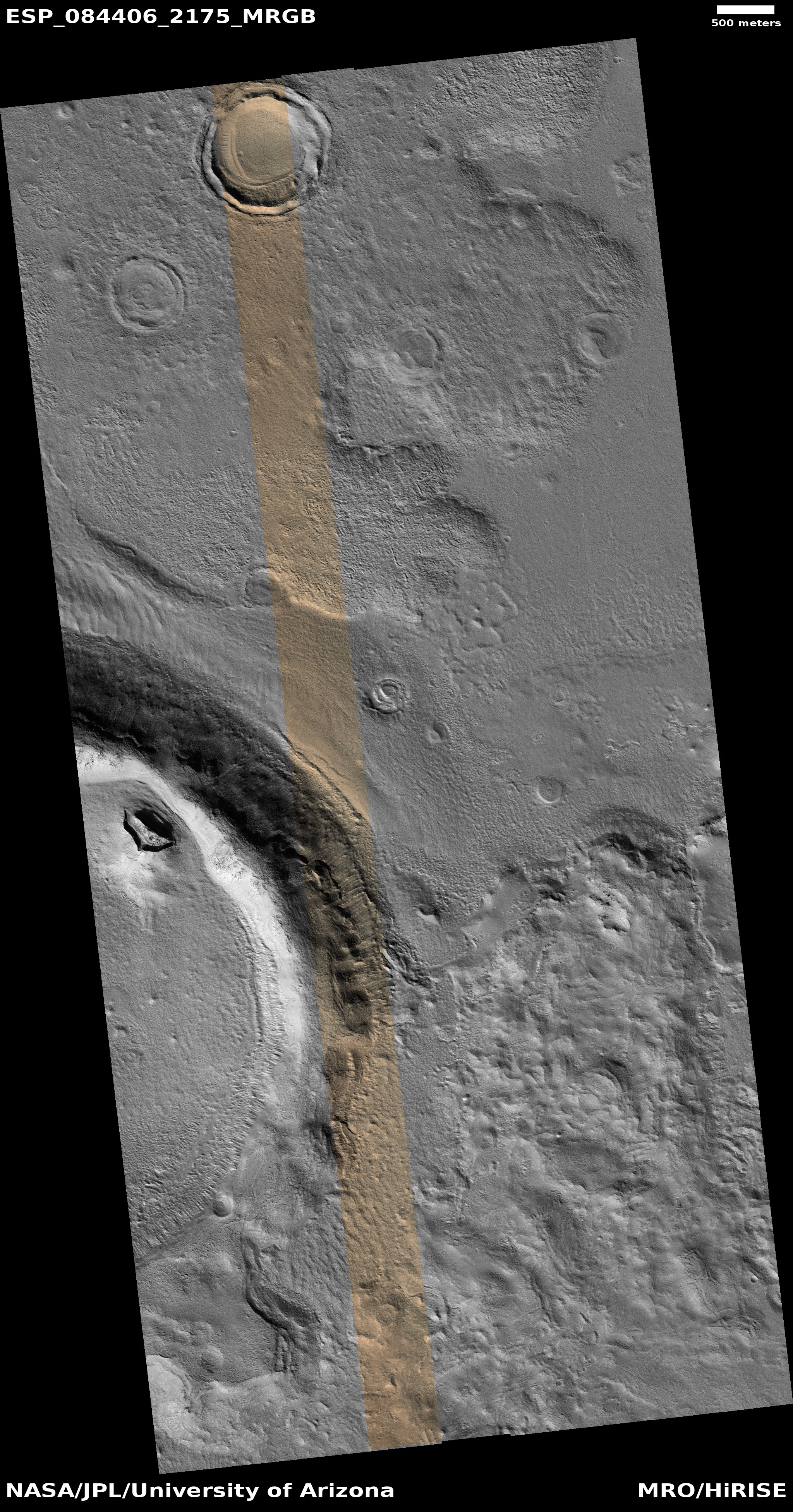
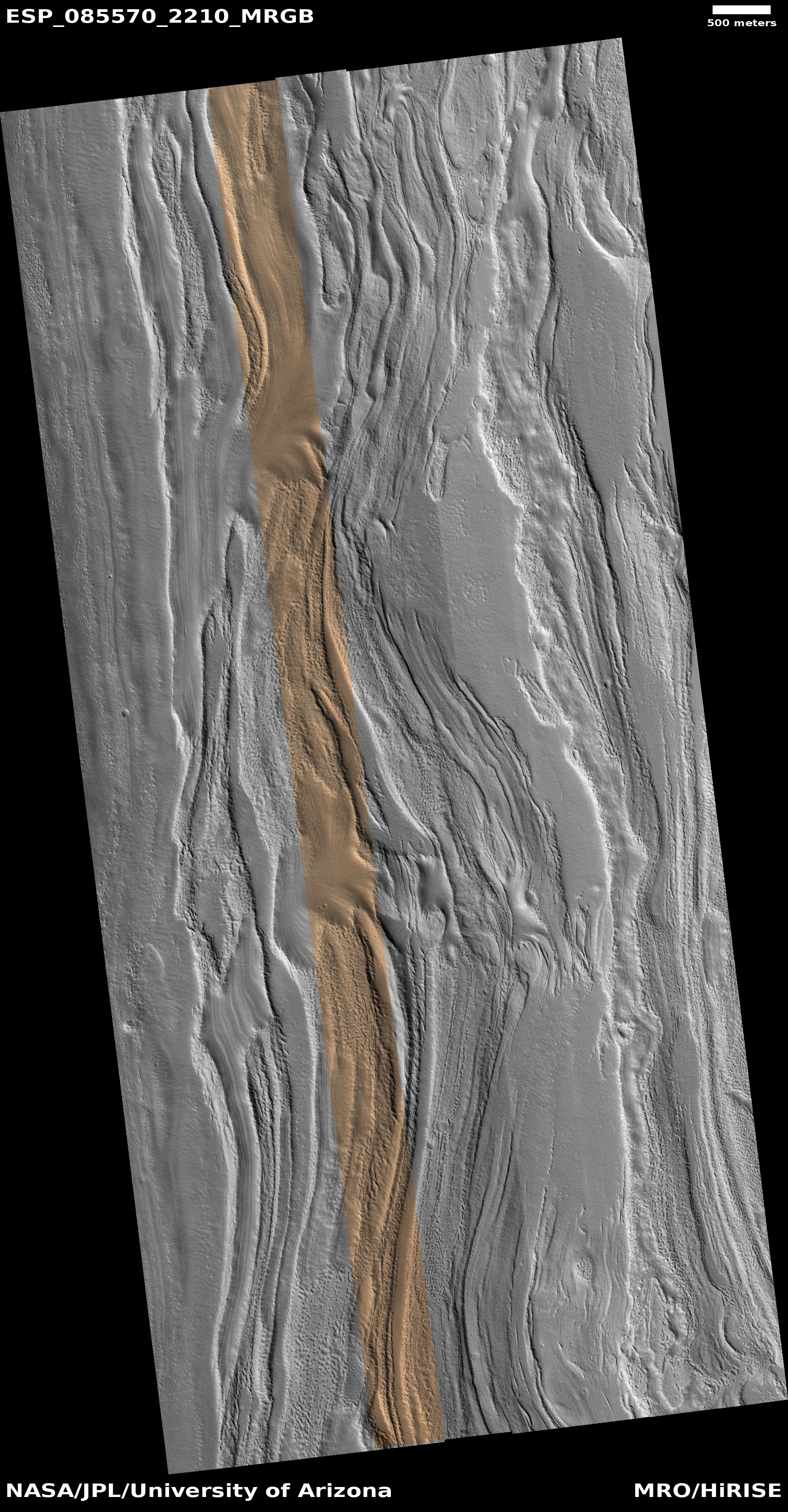
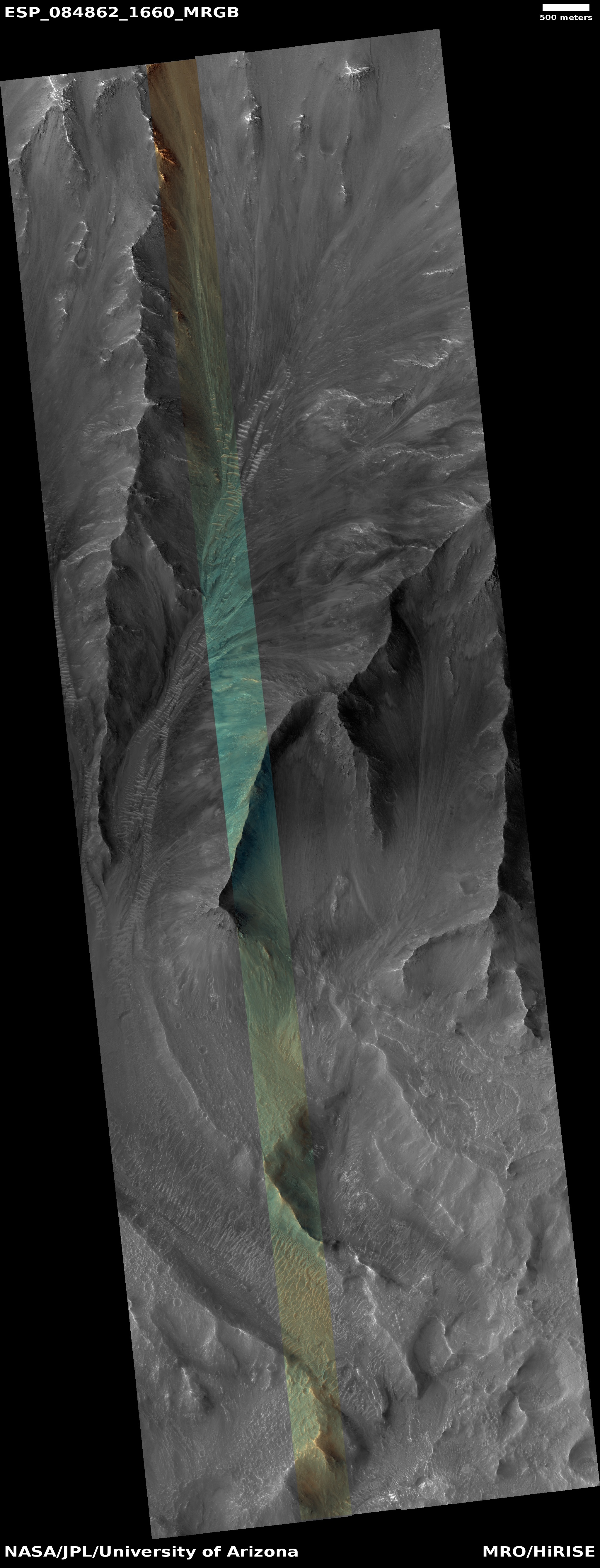
Cool image time! The picture above, rotated, reduced, and sharpened to post here, was taken on September 2, 2024 by the high resolution camera on Mars Reconnaissance Orbiter (MRO).
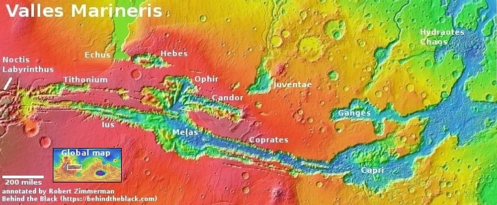
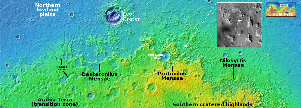
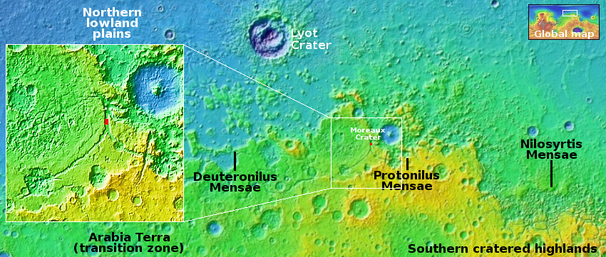
The tiny white dot near the lower center of the overview map below marks the location, on the northern wall of the smaller parallel canyon to the much larger part of Valles Marineris dubbed Coprates Canyon.
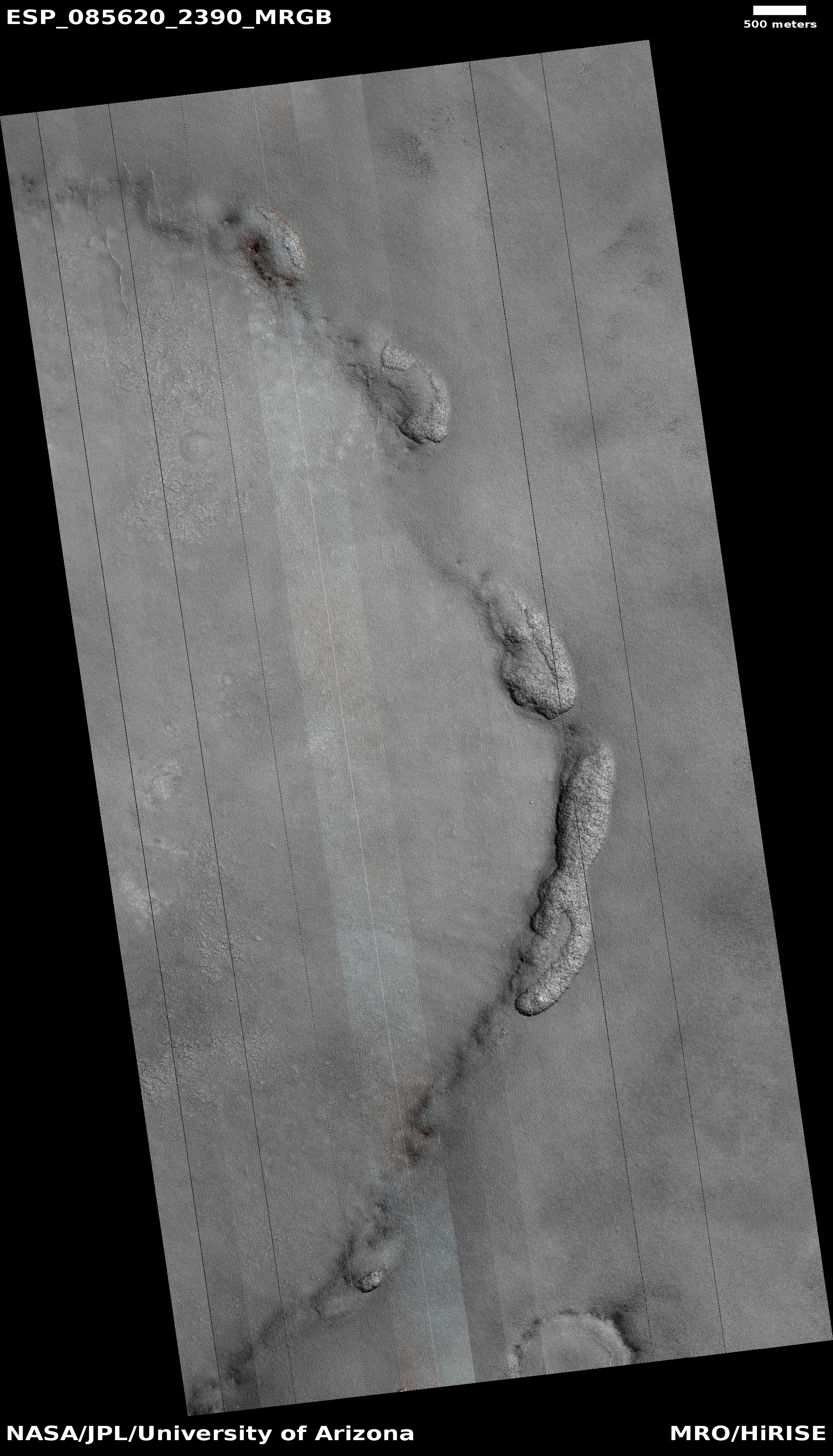
The scientists label this a “slope deposit.” What I see is a dust glacier flowing down hill in that long hollow (indicated by the arrows), with the ripple dunes actually acting almost like waves. Nor is this description unreasonable. On Mars the dust will gather in the hollows of these slopes and over time, with no rain and little wind to disturb them, will begin to flow down much like a glacier.
In this case, the descent is gigantic, considering the size of Valles Marineris. From the top to bottom of this image the elevation drop is about 14,000 feet over a distance of 11 miles.