Today’s blacklist victim: Distinguished scientist and long-time journal editor forced to resign due to threats
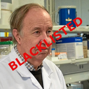
Dr. José Luis Domingo, blacklisted scientist
The modern dark age: Dr. José Luis Domingo, an often cited expert on toxicology and editor for the last seven years of the journal Food and Chemical Toxicology, has been forced to resign his position because of threats and slanders directed at him after he approved the publication of a peer-review paper that documented the potential harmful effects of the mRNA COVID shots.
About a month after the paper was published, Domingo said, he began receiving angry emails and messages. These included insults, calls to resign, demands to retract the paper, and even threats. One email asked him how he could sleep at night, knowing that the scientific paper that he had allowed to be published would lead to the death of millions of people.
The angry messages, he said, were filled with ad hominem attacks against him and against the paper’s co-authors, but did not specify their scientific objections to the contents of the paper.
…Since then, pro-vaccine factions have increased their personal campaign against him, going so far as to adding false information to the Wikipedia entry about him, as well as attacking the Wikipedia page of the journal itself. Both, he said, were negatively modified by pro-vaccination activists. Indeed, an Oct. 4 version of his page, accessed via internet archive, included a subheading entitled “Antivaccine controversy” that accused Domingo of “spreading disinformation during the pandemic.” That paragraph has since been removed.
Domingo even offered — in a gesture of open-mindedness and good will — to publish one of the more-detailed attack messages, if the writers would agree to peer review. They did agree, and then discovered that with peer-review you need to have some facts to back up your accusations. They did not, and their paper was rejected.
No matter. These individuals then found another journal, Stem Cell Reviews and Reports, to publish their attack essay, demanding once again that Domingo retract the paper while once again accusing him of causing the death of millions by its publication:
» Read more