Click for original image.
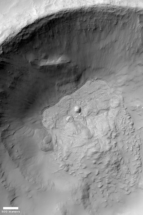
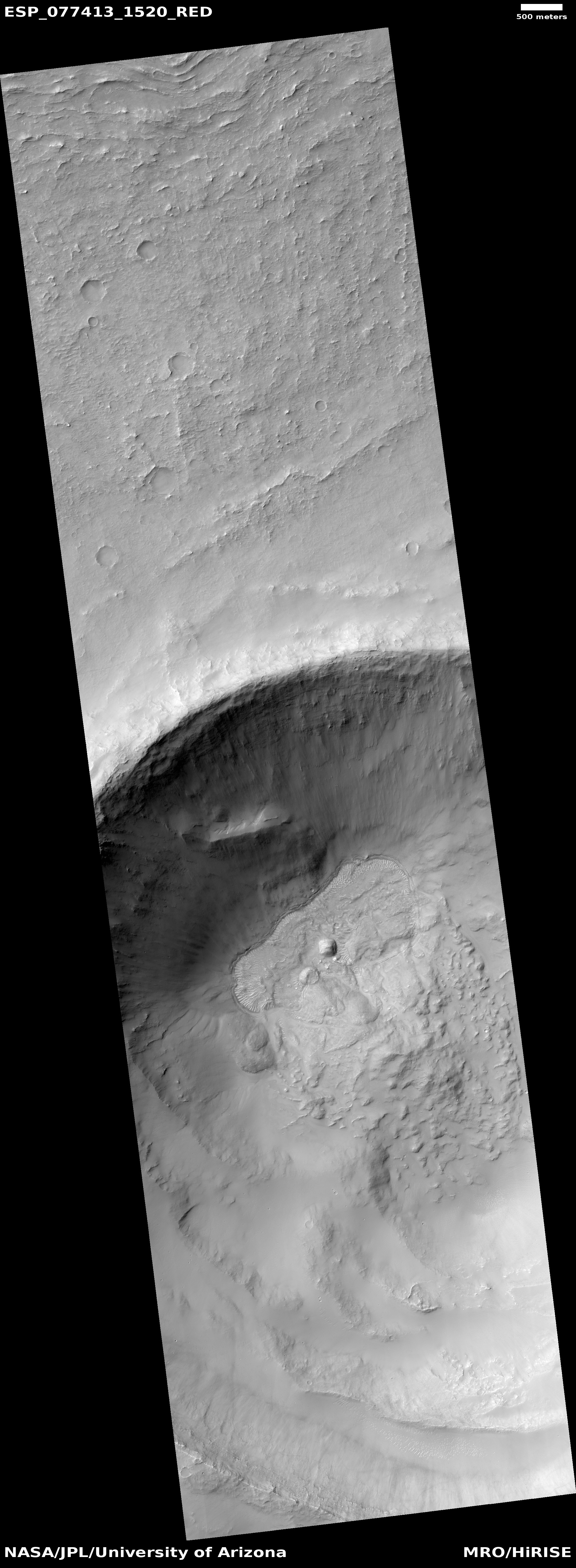
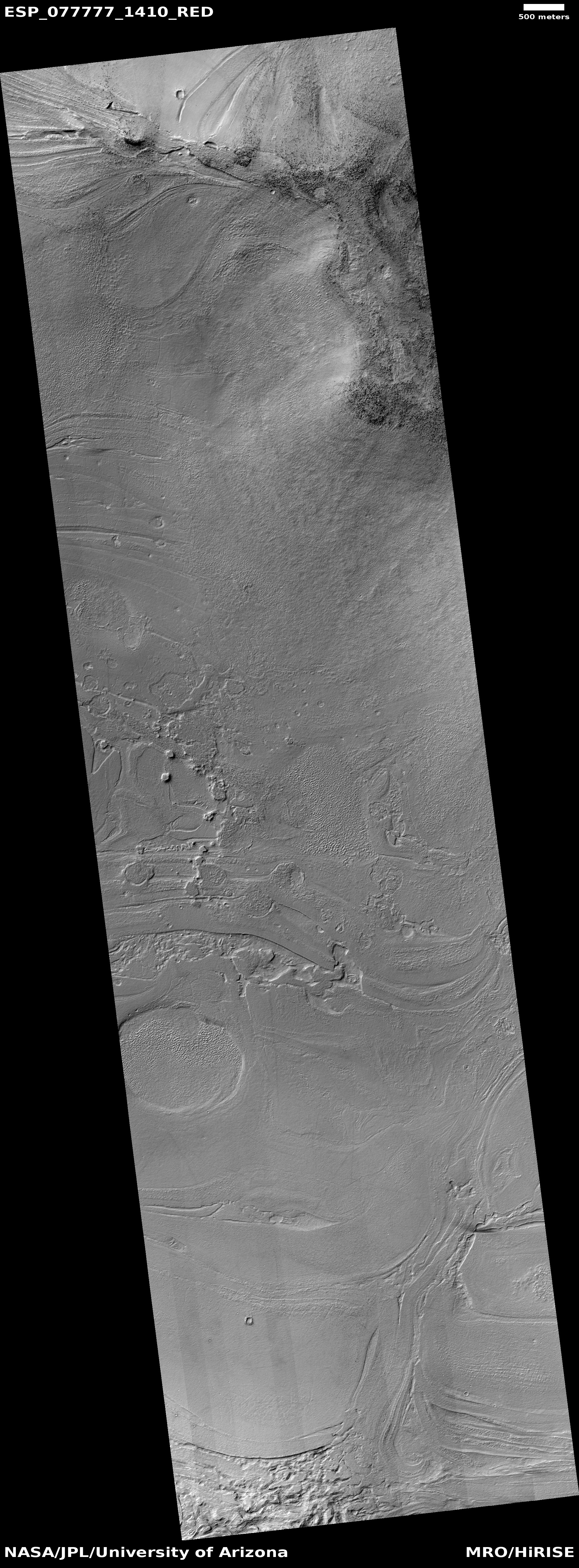
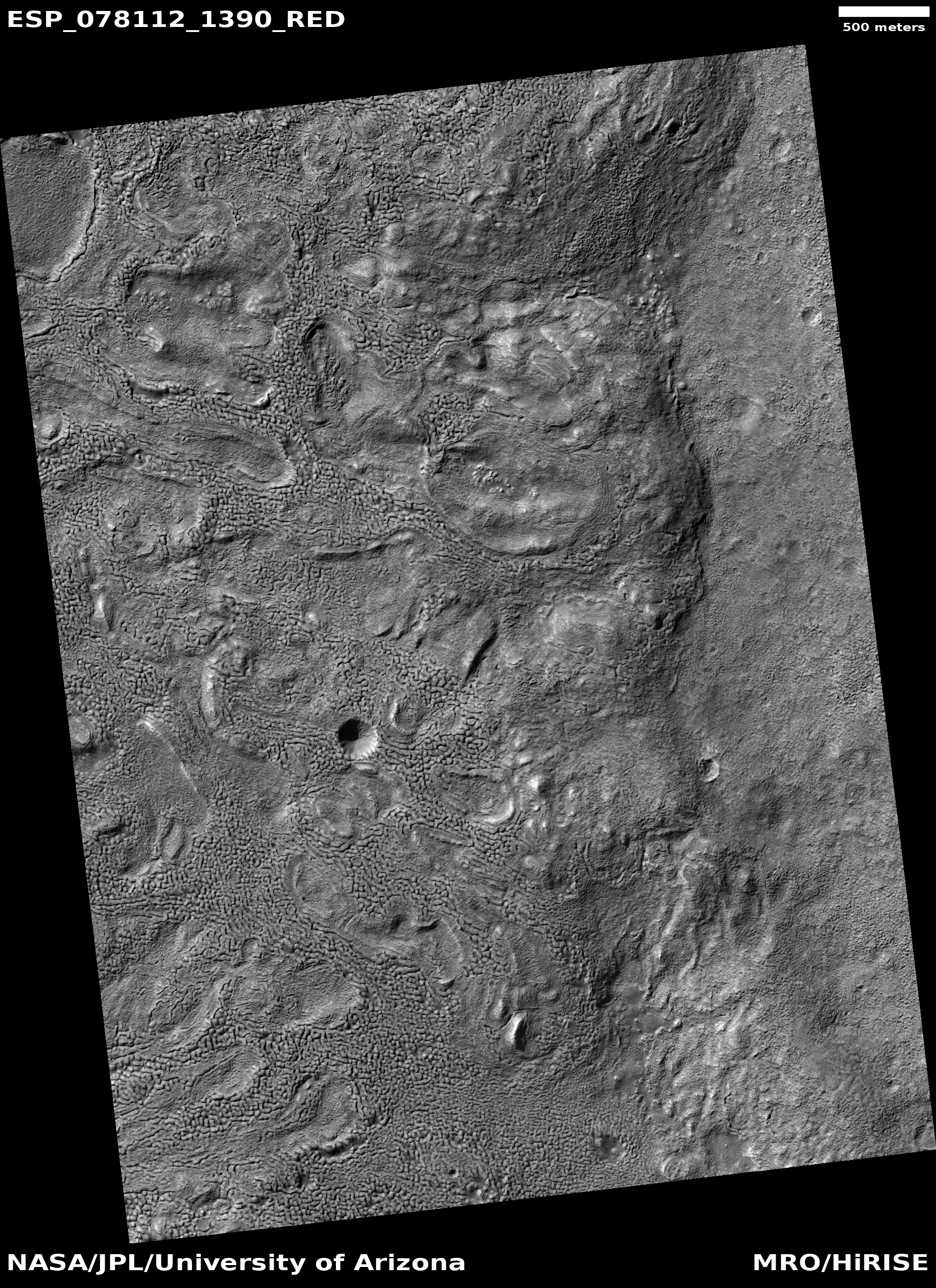
Today’s cool image from Mars is not so much unique visually as it is unique in terms of its location. The picture to the right, rotated, cropped, reduced, and sharpened to post here, was taken on January 31, 2023 by the high resolution camera on Mars Reconnaissance Orbiter (MRO). It shows the northern rim of a small crater, with its floor filled with an intriguing mound of material.
The picture was labeled a “terrain sample”, which suggests it wasn’t taken as part of any specific research project by instead to fill a gap in the camera’s schedule. To maintain the camera’s proper temperature, it is necessary to take pictures regularly, and when the camera team finds a gap that is too long, they fill it by choosing some almost random target in that gap that might be interesting. Sometimes it is, sometimes not.
In this case I strongly suspect this target was hardly random. The picture title also mentions MRO’s now retired radar CRISM instrument, which was used to detect evidence of underground ice. My guess is that the camera team thus likely decided to image this crater in high resolution because that radar data suggested the presence of underground ice.
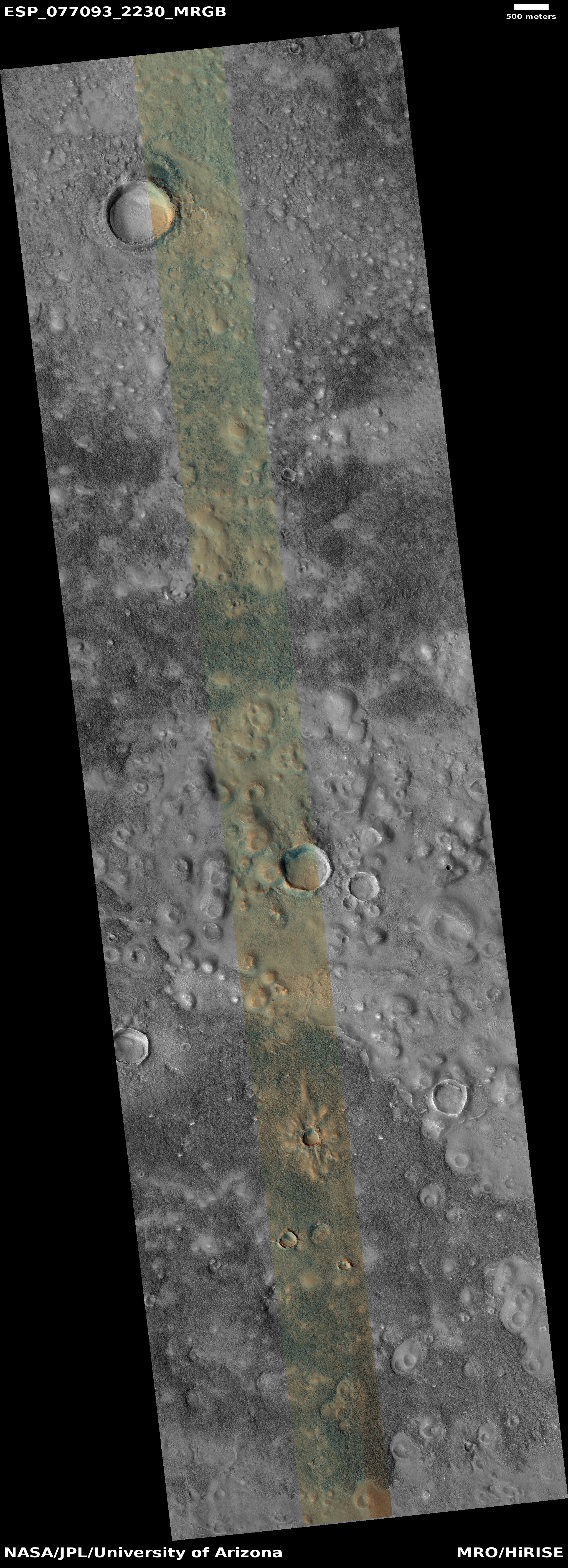
This guess is strongly confirmed by a context camera picture taken of this crater on September 1, 2008. The crater appears surrounded by the typical splash apron one routinely sees around impact craters in the mid- and high-latitude northern lowland plains, where there is a lot of near surface ice.
The bumpy mound seen in high resolution on the floor of this crater could very well be buried glacial ice, as it mimics similar features in the many craters in the mid-latitudes of Mars. But is it buried ice? The location says otherwise.
» Read more


