A Martian landscape of volcanic pimples

A Martian landscape of volcanic pimples
Click for original image.

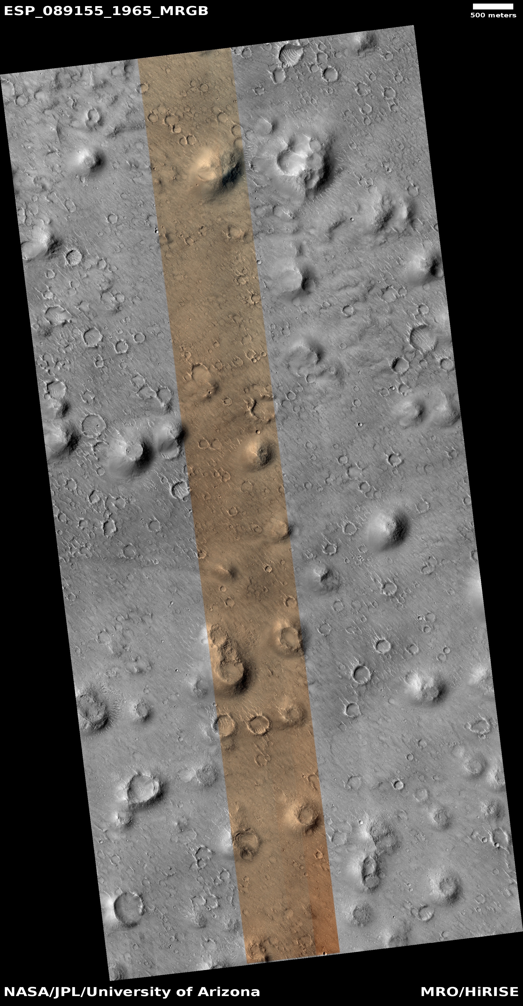
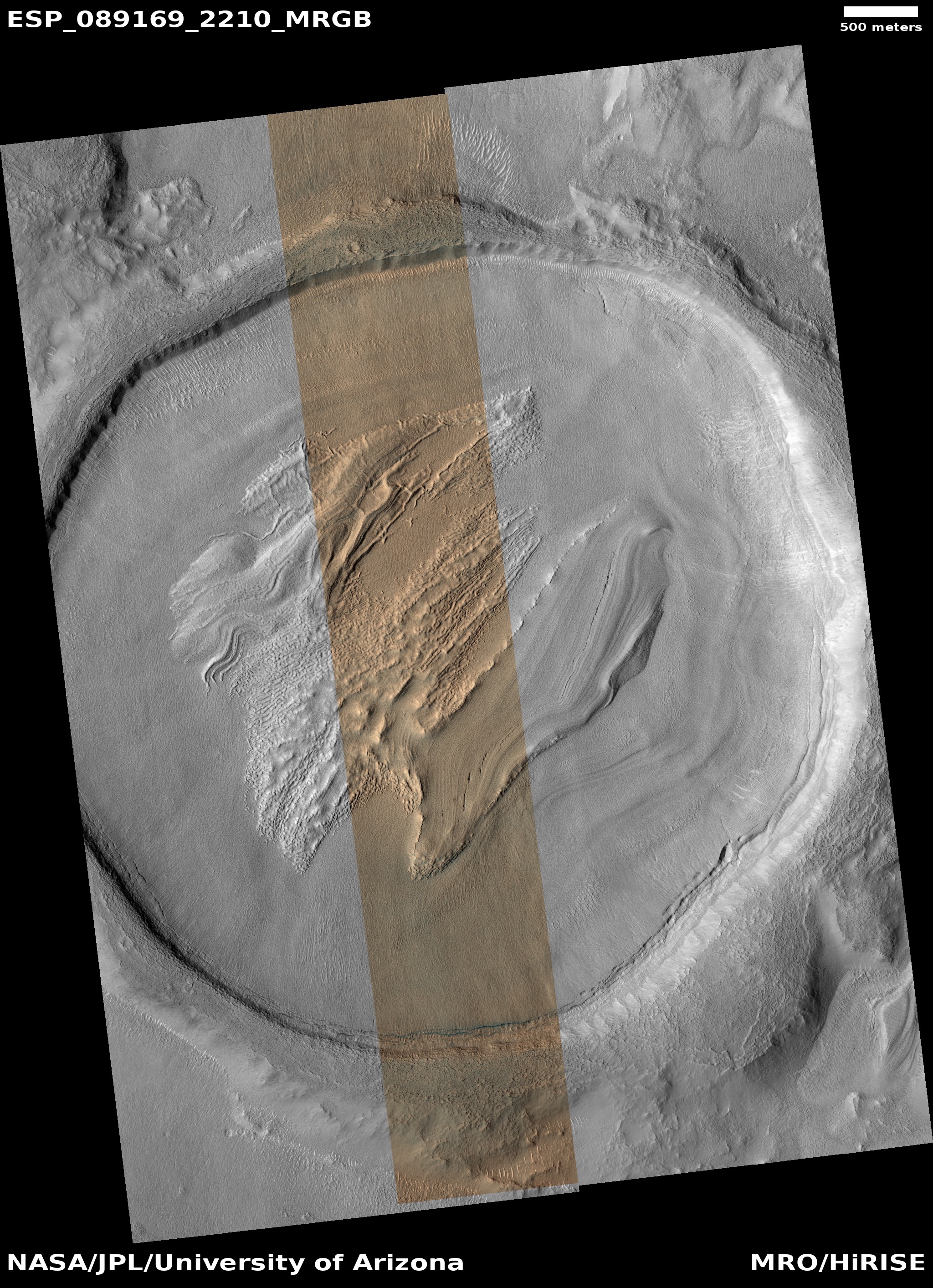
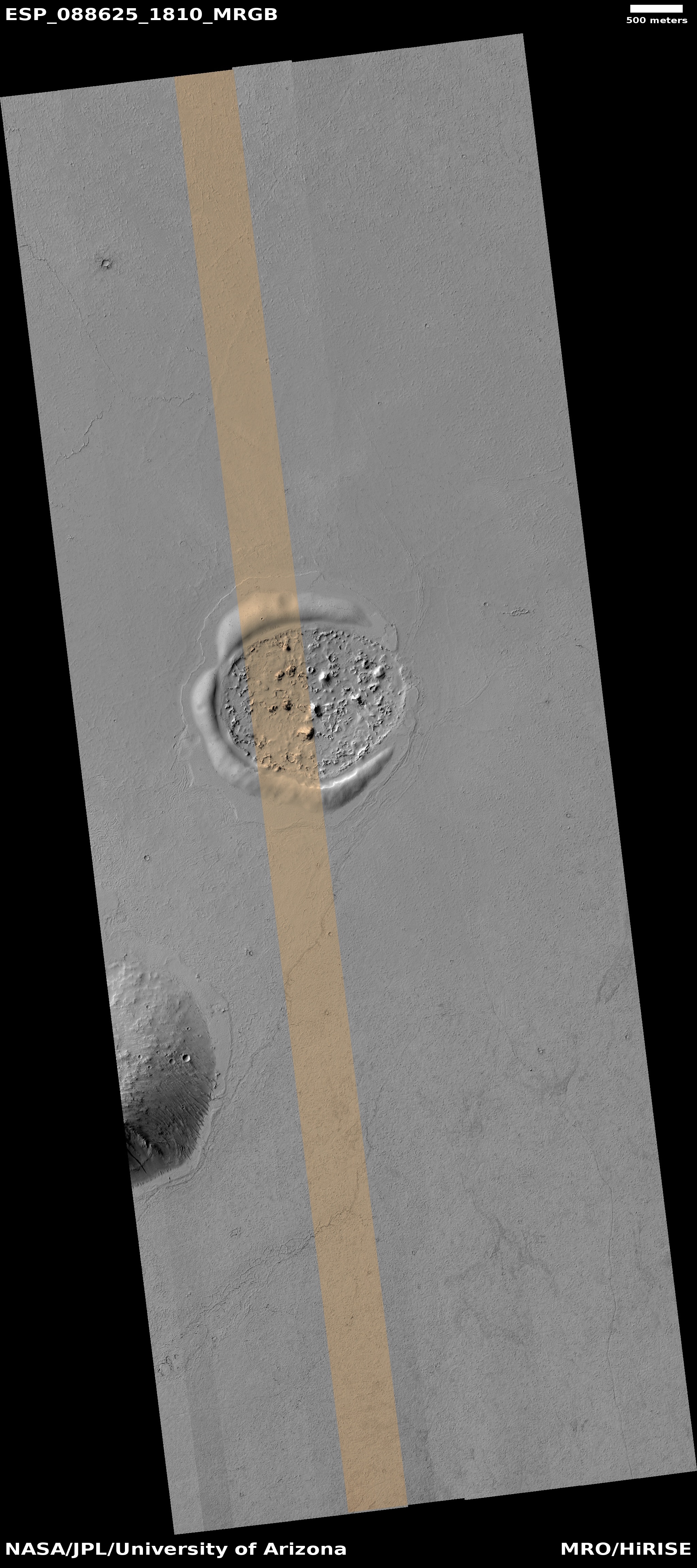
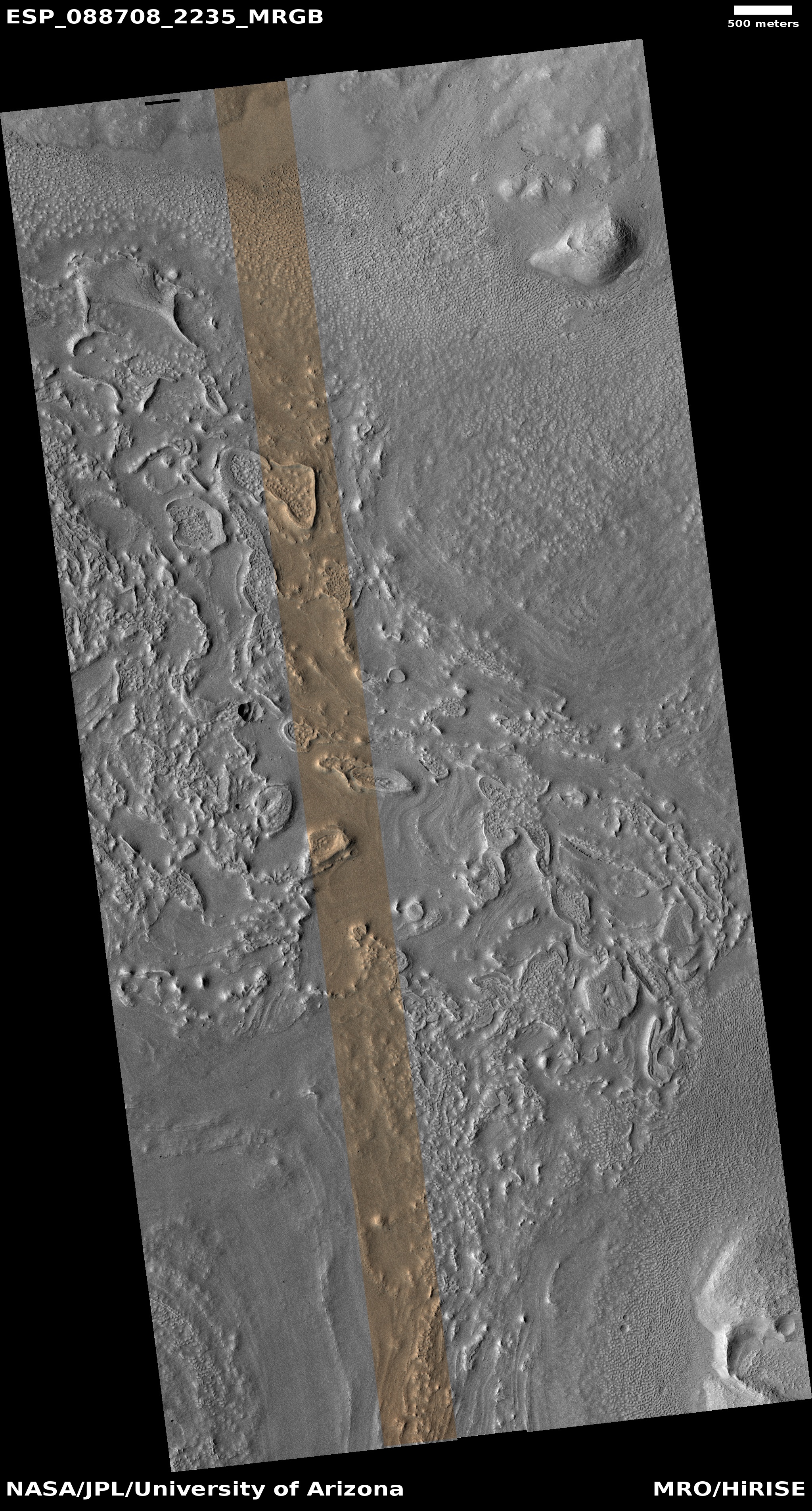
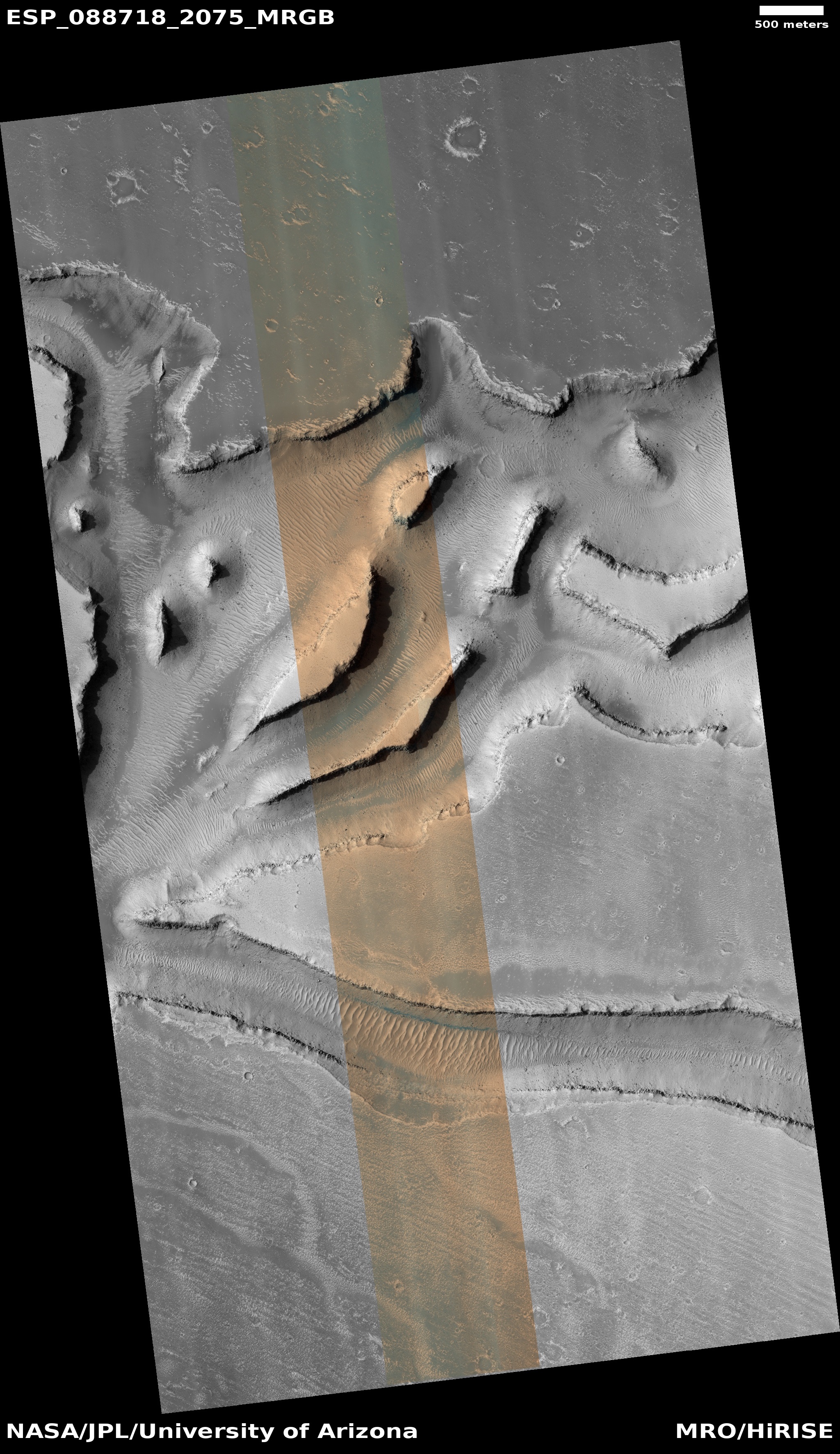
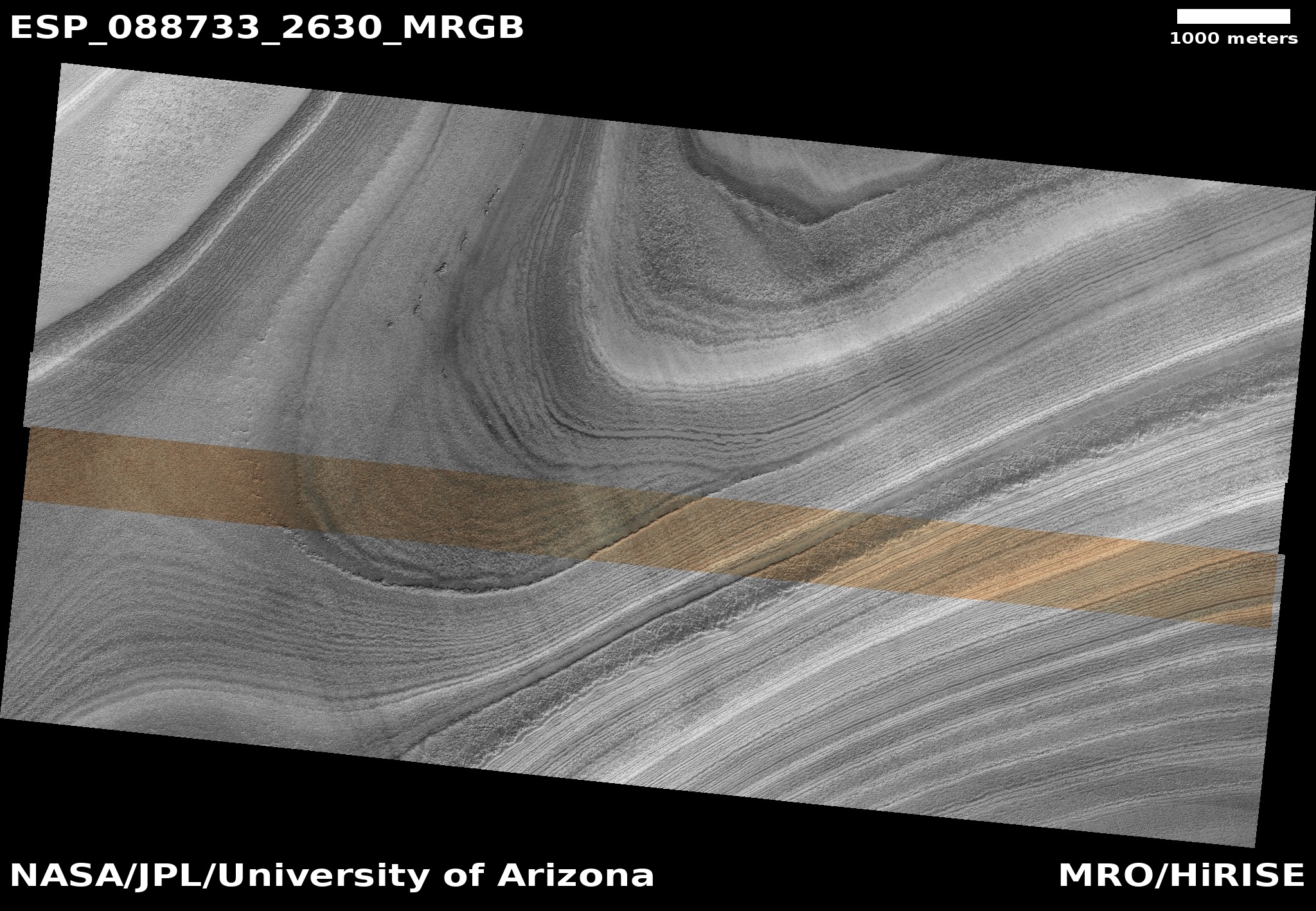
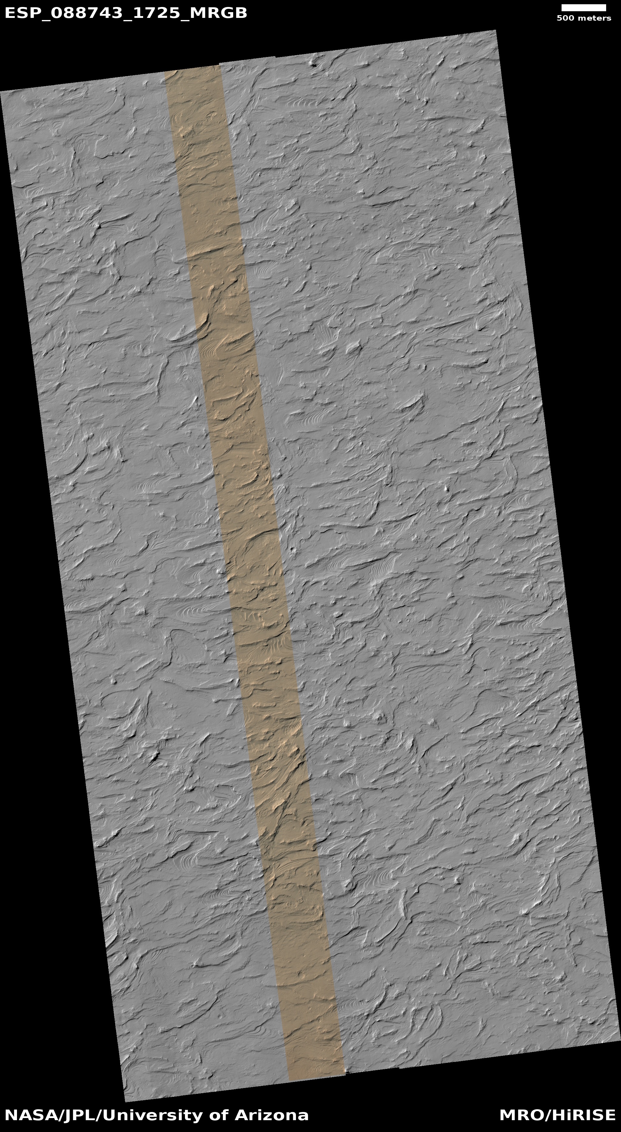
Cool image time! The picture to the right, cropped, reduced, and sharpened to post here, was taken by the high resolution camera on Mars Reconnaissance Orbiter (MRO) and downloaded on August 3, 2025. Labeled as a “terrain sample,” such images are usually taken not as part of any specific research request but because the camera team needs to fill a gap in the camera’s schedule so as to maintain its proper temperature. When they do this, they always try to pick interesting targets within the time window, and usually succeed.

In this case, the camera team picked a location in the middle of Isidis Planitia, one of Mars’ four biggest basins thought to have been formed from a major impact several billion years ago, focusing on an area covered with these strange knobs that have craterlike depressions at their peaks.

According research published in 2010 [pdf], it is believed these cones — all of which are only a few feet high — are the result of volcanic activity following the impact that formed Isidis four billion years ago. In a sense, they are leftover pimples from that impact and the subsequent volcanic activity within that melted basin.
» Read more

1 comment

Blobby Martian crater filled with ice

Overview map

A blobby Martian crater filled with ice
Click for original image.

Cool image time! The picture to the right, rotated, cropped, reduced, and sharpened to post here, was taken on August 4, 2025 by the high resolution camera on Mars Reconnaissance Orbiter (MRO).

The science team labels this a “concentric fill crater,” a term used by planetary scientists for Martian craters that appear to be filled with glacial material. That certainly appears to be the case, but this 3.5-mile-wide unnamed crater also appears to have been warped by the ice that impregnates the ground all around it.

The overview map above explains why. The white dot marks the location, on the eastern end of the 2,000-mile-long northern mid-latitude strip that I label glacier country, because almost every image in this region shows similar glacial features. Though it is hard to tell from the inset, all the craters here have similar glacial material within them, and the ground surrounding them also appears glacial in nature.

This particular location is at 40 degrees north latitude. While it might be difficult to establish a colony here, on ground that appears so unstable, going 700 to 800 miles to the southeast would put you in what is considered one of Mars’ prime mining regions. Thus, with the right equipment mining operations would have accessible water not that far away.

2 comments

Monitoring the largest recent impact detected by InSight’s seismometer

Overview

Cool image time! On December 24, 2021 the seismometer of the Mars lander InSight detected a four magnitude earthquake, the largest detected up until then. Because its nature suggested that it had been caused by an impact, not an internal shifting, the science team for Mars Reconnaissance Orbiter (MRO) immediately started searching for new impact craters in the area of Mars where the data suggested the quake came from.

Two months later they found it, in the northern lowland plains just south of the prime landing zone chosen by SpaceX for its Starship spacecraft. The black cross on the overview map to the right indicates the position. The four red spots are the prime Starship landing sites. The white dots indicate other locations considered. The black dots were images taken for a proposed Dragon landing. This impact is thus only about 100 miles away from the nearest possible Starship landing spot.
» Read more

7 comments

Bubbling lava frozen in a Martian crater

Bubbling lava frozen in a Martian crater
Click for original image.

Cool image time! The picture to the right, cropped, reduced, and sharpened to post here, was taken on June 23, 2025 by the high resolution camera on Mars Reconnaissance Orbiter (MRO). This one-mile-wide unnamed crater was a featured image last week by the science team. As noted in the caption, written by Chris Okubo of the U.S. Geological Survey:

This area was covered by a large flood of lava, which we see as the generally flat areas surrounding the crater. As the lava flowed across, some of it flowed into this crater through a low spot along the crater rim.

Once in the crater, the lava heated ground water or ground ice in the floor, causing the water to boil and turn into steam. This steam then exploded through the overlying lava and created small, ring-shaped formations. These are called โ€rootless cones,โ€ and they record the presence of ground water or ground ice in the crater floor at the time of the lava eruptions.

In other words, when this crater was flooded with hot lava, it was filled with ice or water. That fact is significant because of the crater’s location, as shown in the overview map below.
» Read more

2 comments

Has Curiosity stumbled upon a small slope streak?

Is that a slope streak in the lower right?
Click for original.

Overview map
Click for interactive map

In reviewing the pictures downloaded today by the Mars rover Curiosity, I noticed something very intriguing in the pictures taken by rover’s two navigation cameras. One such picture is above, taken by the right navigation camera and looking west across the boxwork ridges that Curiosity has been traversing for the past two months. You can see two such ridges in the right foreground, cutting diagonally from left to right.

The overview map to the right gives the context, with the blue dot marking Curiosity’s position. The white and red dotted lines indicate its actual and planned routes respectively, with the top inset zooming in to show the recent travels more clearly. The yellow lines show the approximate area covered by the picture above.

Note the dark streak in the lower right of the picture. The bottom inset on the overview map shows this streak more closely. To my eye, it strongly resembles a slope streak, a strange geological feature unique to Mars.

If I am right, expect the rover team to focus in on this streak. The cause of slope streaks remains unknown. From orbit, the streaks look like avalanches at first glance, but they don’t change the topography, have no debris pile at their base, and sometimes even travel up and over rises as they head downhill. They can occur randomly throughout the year, can be bright or dark, can occur anywhere, and fade with time.

There are a number of theories (see here, here, and here) attempting to explain their cause, but none has been confirmed. If this is a streak, it will be the first that any scientist can see up close.

It is also very likely my guess is wrong, and this is not a streak. Stay tuned for updates.

2 comments

Patterned frozen lava in Mars’ volcano country

Patterned frozen lava
Click for original image.

Cool image time! The picture to the right, cropped, reduced, and enhanced to post here, was taken on May 31, 2025 by the high resolution camera on Mars Reconnaissance Orbiter (MRO).

The camera team label this “patterned ground.” And it is indeed. Though the topography is almost flat for large distances, the ground itself has these various patterns on it, from meandering small ridges to stippled roughness to very smooth sections.

The location is at 4.6 degrees north latitude, in the dry equatorial regions of Mars. No near surface ice created these features. All we can deduce from this picture is that this landscape is relatively young, as there are no craters seen.

So what caused these features? The location as always provides a clue.
» Read more

2 comments

“What the heck?!” glaciers on Mars

Overview map

Another
Click for original image.

Cool image time! The picture to the right, cropped, reduced, and sharpened to post here, was taken on June 29, 2025 by the high resolution camera on Mars Reconnaissance Orbiter (MRO). It falls into what I call my “What the heck?!” category of Martian land-forms, simply because their shape is so strange and inexplicable it is difficult to conceive a geological process that could create them.

Nor does it help much that we know what these land-forms are made of. The white dot on the overview map above marks the location, inside the 2,000-mile-wide northern mid-latitude strip I label glacier country, because almost every image taken shows glacial features. In this case, this strange geology is located on the floor of a canyon that is part of a large region of chaos terrain, a landscape typical of glacier country. This floor, as well as all the low areas, seems filled with glacial flows. This particular canyon appears to roughly flow downhill to the northwest, though the downhill grade in the entire region varies widely in all directions.

Based on all the orbital data, these flows are glacial in nature, the ice protected by a thin top layer of dirt and debris. The strange features at the top of all the small mesas in the picture above suggest that the wind possibly blew off the dirt and debris, exposing the ice and allowing it to sublimate away. This in turn produced the knobby hollows at the top of each mesa.

I am guessing, and no one should trust my guess considering I only make believe I’m a geologist on the internet.

3 comments

Perseverance looks west

Perseverance looks west
Click for full resolution. For original images go here and here.

Overview map
Click for interactive map.

Cool image time! The panorama above, reduced and sharpened to post here, was created using two pictures taken on August 28, 2025 by the left navigation camera on the Mars rover Perseverance (here and here).

The blue dot on the overview map to the right marks Perseverance’s location when it took these pictures. The yellow lines indicate the approximate area covered by the panorama. The red dotted line indicates the rover’s planned route, with the white dotted line its actual travels.

The recent geological research focused on the lighter-colored ridge on the right center, dubbed Soroya. From the August 27, 2025 update by the science team:

Soroya was first picked out from orbital images as a target of interest because, as can be seen in the above image, it appears as a much lighter color compared to the surroundings. In previous landscape images from the surface, Mars 2020 scientists have been able to pick out the light-toned Soryoa outcrop, and they noted it forms a ridge-like structure, protruding above the surface. Soroya was easily identifiable from rover images as Perseverance approached since it indeed rises above the surrounding low-lying terrain.

The view is looking downhill away from Jezero Crater. The curve of the horizon is an artifact of the navigation camera’s wide view, accentuated by the slope that the rover sits on. The low resolution of this western region on the overview map is because the science team has not yet had Mars Reconnaissance Orbiter (MRO) get highest resolution pictures there yet.

Note the utter barrenness of this terrain. This is Mars, a lifeless world that has only the future potential for life, once we humans start to colonize it. Whether there was ever any past life remains uncertain, but the nature of its terrain as seen by both Perseverance and Curiosity suggests strongly that past life never existed, or if it did it barely survived and was quickly wiped out, a long time ago.

0 comments

Another great hiking location on Mars

Another great hiking location on Mars
Click for original image.

In honor of our just completed visit to the south rim of the Grand Canyon, today’s cool image takes us to another location on Mars that to me appears a perfect place to install some hiking trails. The picture to the right, cropped, reduced, and sharpened to post here, was taken on June 30, 2025 by the high resolution camera on Mars Reconnaissance Orbiter (MRO).

The image shows a two-mile wide canyon with a number of scattered narrow mesas within. The north and south rims rise about 550 feet above the canyon floor. The two mesas labeled “A” and “B” rise about 200 and 100 feet respectively.

The hiker in me immediately imagines what a great hike it would be to go up the western nose of either ridge and walk along its crest. The knife-edge nature of ridge “A” would mean that for a large majority of the hike you’d be at the north and south edges at the same time.
» Read more

2 comments

Sand dunes inside the Martian north polar icecap

Sand dunes inside the Martian north polar icecap
Click for original image.

Today’s cool image returns to the Martian north pole. The picture to the right, rotated, cropped, reduced, and enhanced to post here, was taken on July 3, 2025 by the high resolution camera on Mars Reconnaissance Orbiter (MRO). It shows the top of a ridge near the edge of that icecap, with dunes visible in the hollow several thousand feet below.

The angle of this picture does not show us the many layers on the cliff leading down to those dunes. It does show evidence, however, of the top few layers on the flat crest of that ridge. The white lines delineate those layers, each line marking the edge of a series of wide terraces.

The dunes in the canyon below are of interest because their source is likely the dust that is mixed into thick icecap’s ice. As that ice sublimates away on the face of the cliff, the dust falls into the canyon, where it is trapped.
» Read more

1 comment

The beauty of Mars’ many-layered northern icecap

The beauty of Mars' ice cap
Click for original image.

Cool image time! The picture to the right, rotated, cropped, reduced, and sharpened to post here, was taken on July 1, 2025 by the high resolution camera on Mars Reconnaissance Orbiter (MRO).

The science team labels it clumsily as “North Polar layered deposits structural geology in icy layers”. What we see are the many layers that make up the north polar cap, produced by the red planet’s many climate cycles that scientists think Mars has undergone over the eons as the red planetโ€™s rotational tilt, or obliquity, rocked back and forth from 11 degrees inclination to as much as 60 degrees. At the extremes, the ice cap was either growing or shrinking, while today (at 25 degrees inclination) it appears to be in a steady state.

These layers are a mixture of ice and dust. The variations from dark to light likely indicate changes in the amount of dust in the atmosphere. Dark layers suggest the atmosphere was more dusty due to volcanic eruptions. Light layers suggest the planet’s volcanic activity was more subdued.

At least that’s one hypothesis.
» Read more

0 comments

Wind-eroded terrain on the edge of Mars’ largest volcanic ash field

Wind-eroded terrain in Mars' largest volcanic ash field

Cool image time! The picture to the right, cropped and sharpened to post here, was taken on July 2, 2025 by the high resolution camera on Mars Reconnaissance Orbiter (MRO).

Labeled simply as “wavy terrain” by the MRO science team, it shows a relatively flat plain of hollows and terraced ridges that suggest the prevailing winds come from the west-southwest. As they blow, they slowly cause the layers of material to peel away, exposing those terraces.

This wavy landscape extends for many miles to the west, covering a region 135 by 160 miles in area. The layering and wavy nature of the terrain suggests the material here is fragile and easily peeled away by the winds of Mars’ very thin atmosphere. Think of the sandstone that forms Monument Valley and Canyonlands in the southwest United States, shaped almost entirely by wind.

And in fact, the overview map below confirms this.
» Read more

0 comments
1 7 8 9 10 11 157