
Petrified sand dunes on Mars
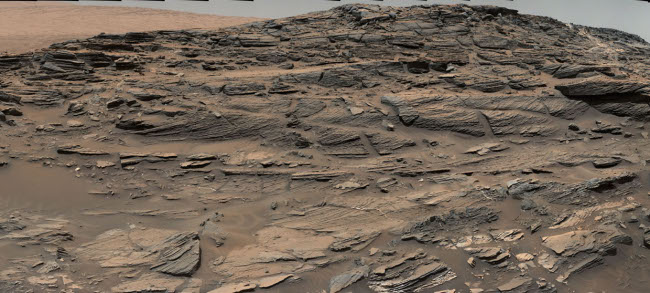
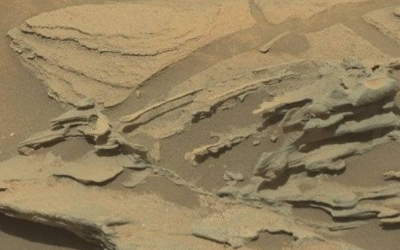
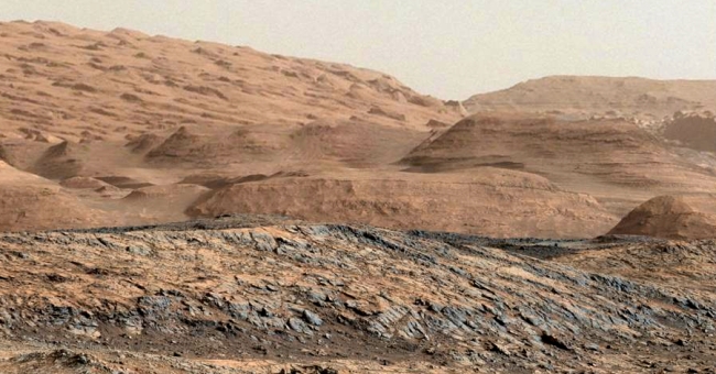
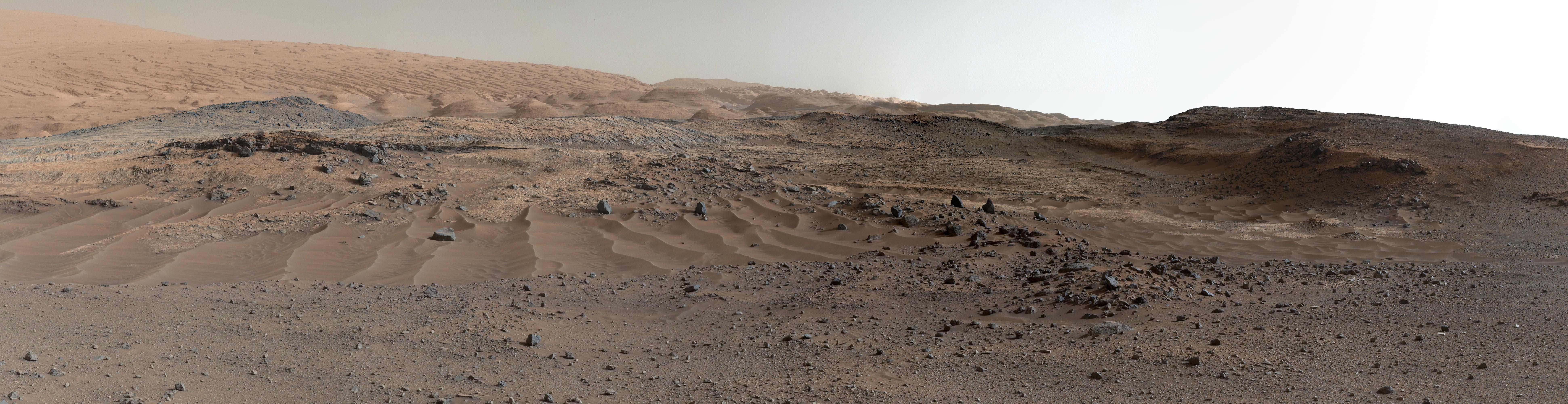
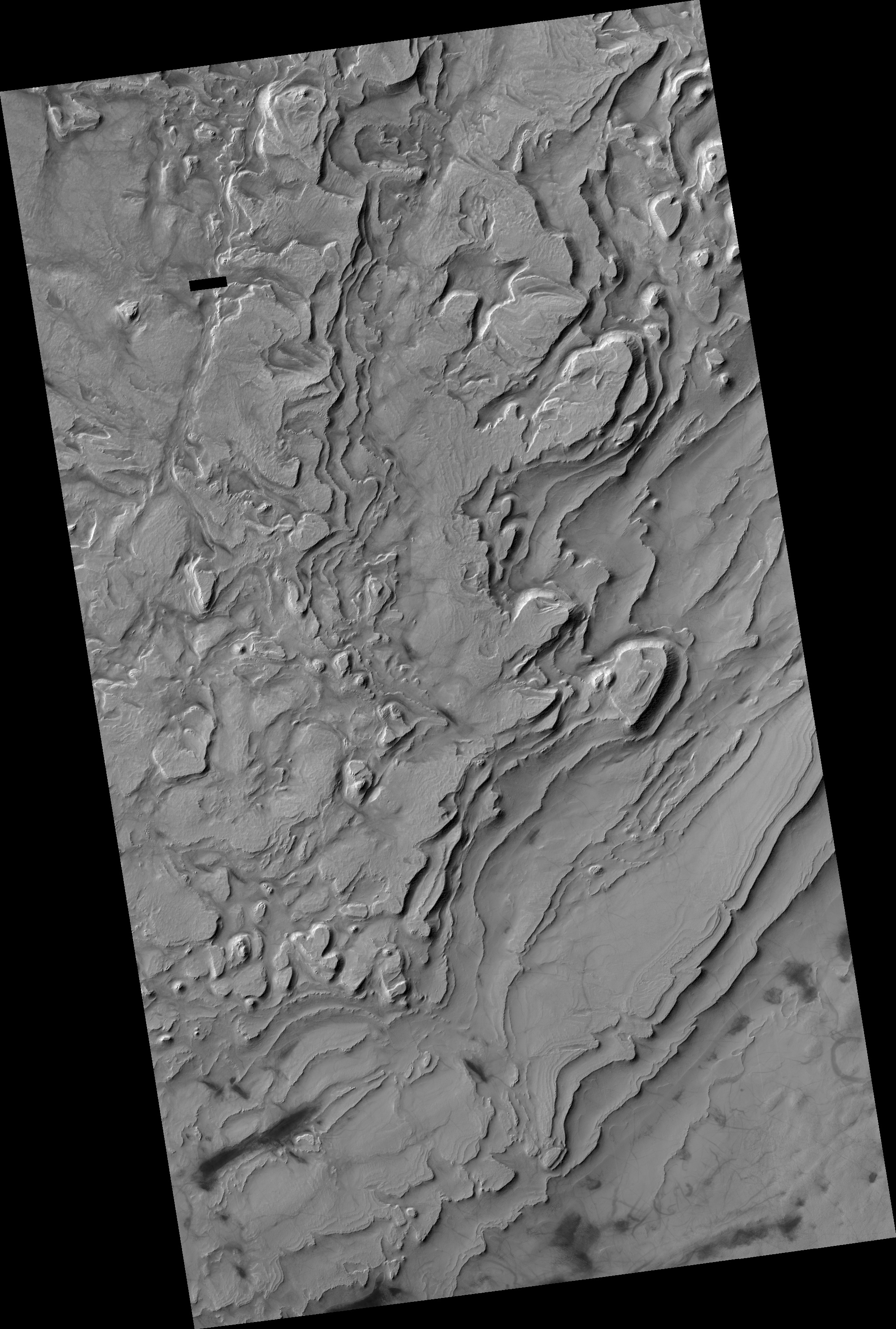
Cool image time! A panorama produced from images taken by Curiosity’s Mast camera has revealed the remains of ancient sand dunes, cemented into sandstone and now eroding.
This sandstone outcrop — part of a geological layer that Curiosity’s science team calls the Stimson unit — has a structure called crossbedding on a large scale that the team has interpreted as deposits of sand dunes formed by wind. Similar-looking petrified sand dunes are common in the U.S. Southwest. Geometry and orientation of the crossbedding give information about the directions of the winds that produced the dunes.
The Stimson unit overlies a layer of mudstone that was deposited in a lake environment. Curiosity has been examining successively higher and younger layers of Mount Sharp, starting with the mudstone at the mountain’s base, for evidence about changes in the area’s ancient environment.
The image above is cropped and reduced in resolution. Be sure to look at the original.
This report also suggests that Curiosity is definitely moving up the geological layers on Mount Sharp. With each layer, we learn a little bit more about the complex geological history of Gale Crater.
