
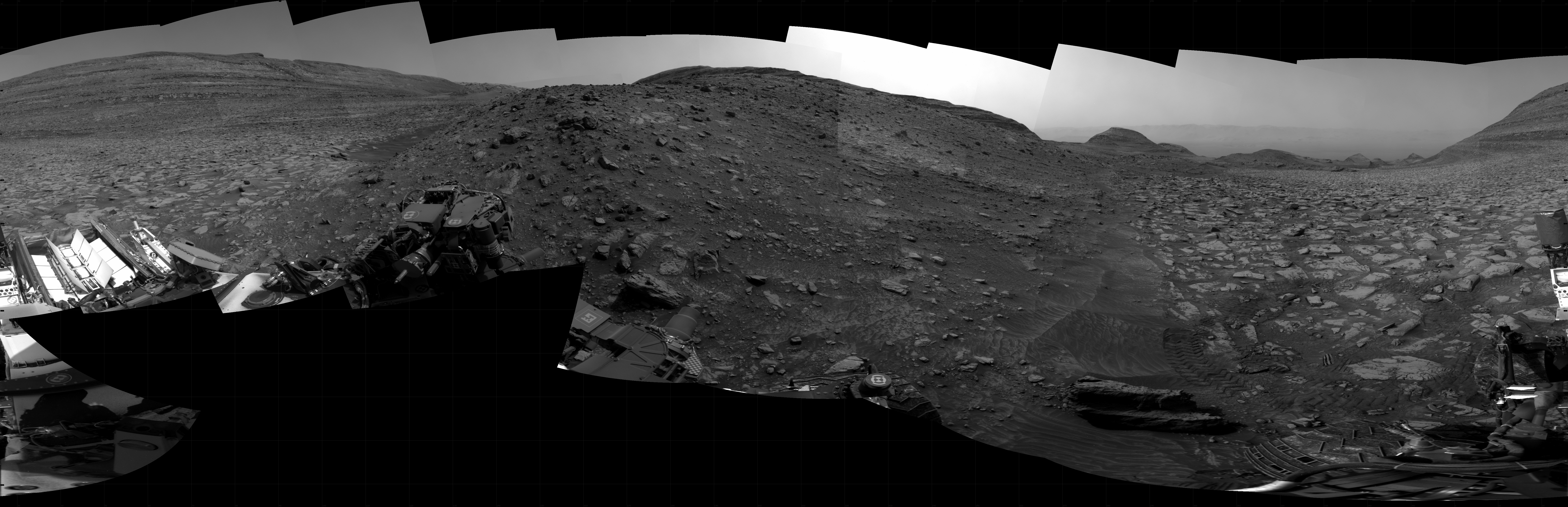
Perseverance looks ahead, out of Jezero Crater
Click for high resolution. Go here and here for original images.
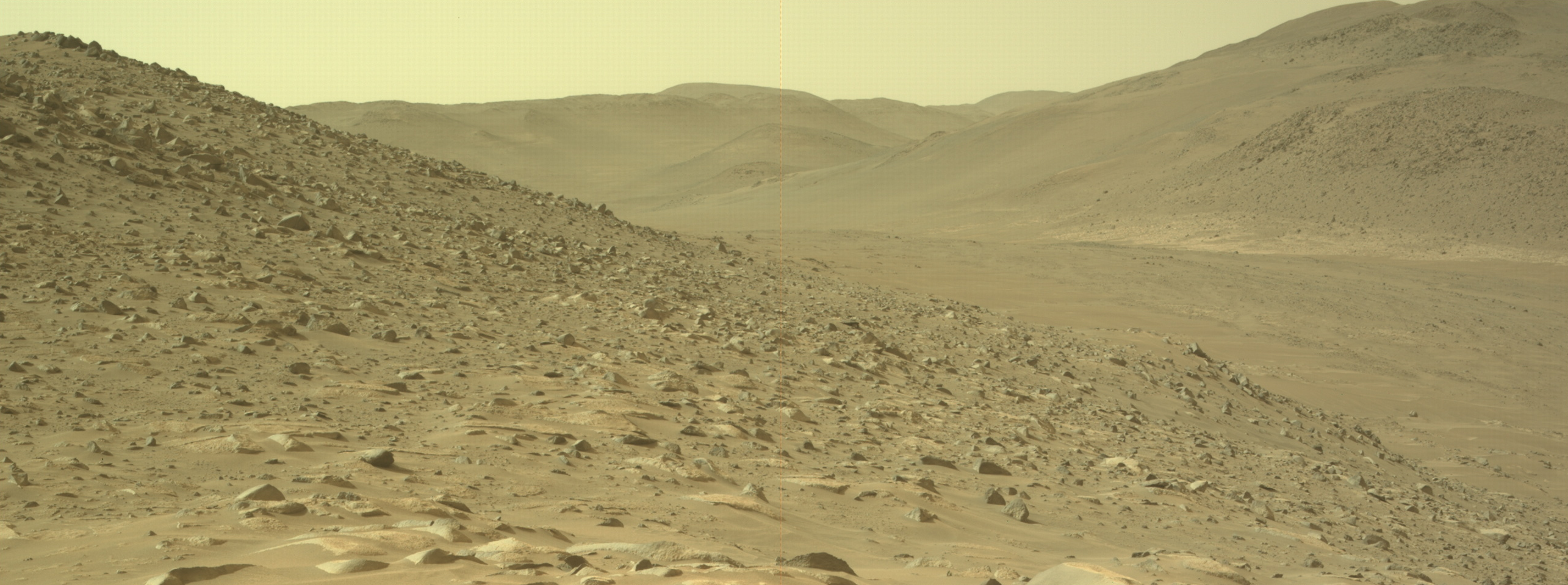
Cool image time! The panorama above, recropped, reduced, and annotated to post here, was created from two pictures taken by Perseverance’s right navigation camera on May 9, 2024 (here and here). It looks almost due west, out the gap in the rim of Jezero Crater to the mountains beyond.
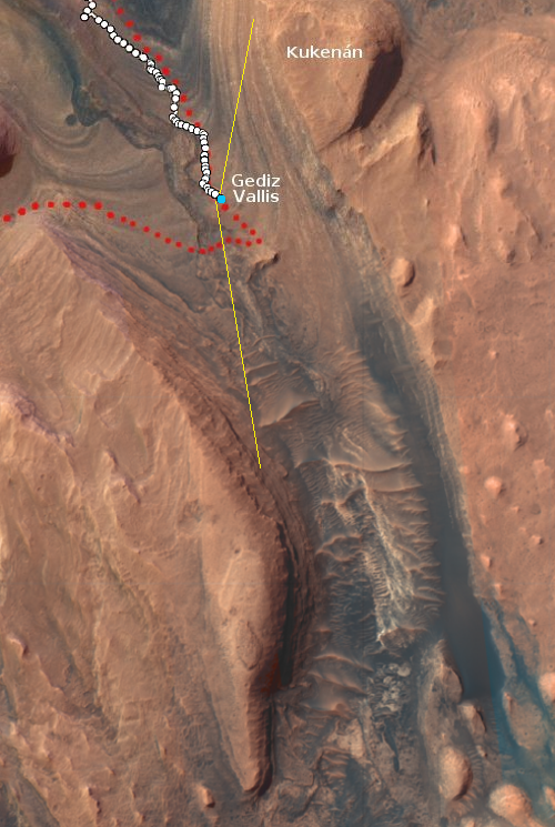
The blue dot in the overview map below marks Perseverance’s location when these photos were taken. The yellow lines indicate the approximate area covered by the panorama. The red dots indicate the rover’s planned route.
It is obvious this panorama was taken as part of the science team’s planning for Perseverance’s upcoming traverse across Neretva Vallis. The picture also gives us a nice view of the barren terrain found here in the dry tropics of Mars. There is no ice or water present anywhere, though the geology strongly suggests H2O in one form or another once shaped this landscape.
Nor is there any visible life. As much as NASA and many others devoutly wish to find some, I doubt any will be found. There is a very tiny chance the remains of long-gone microbiotic life might be found, but I wouldn’t bet much money on that either.
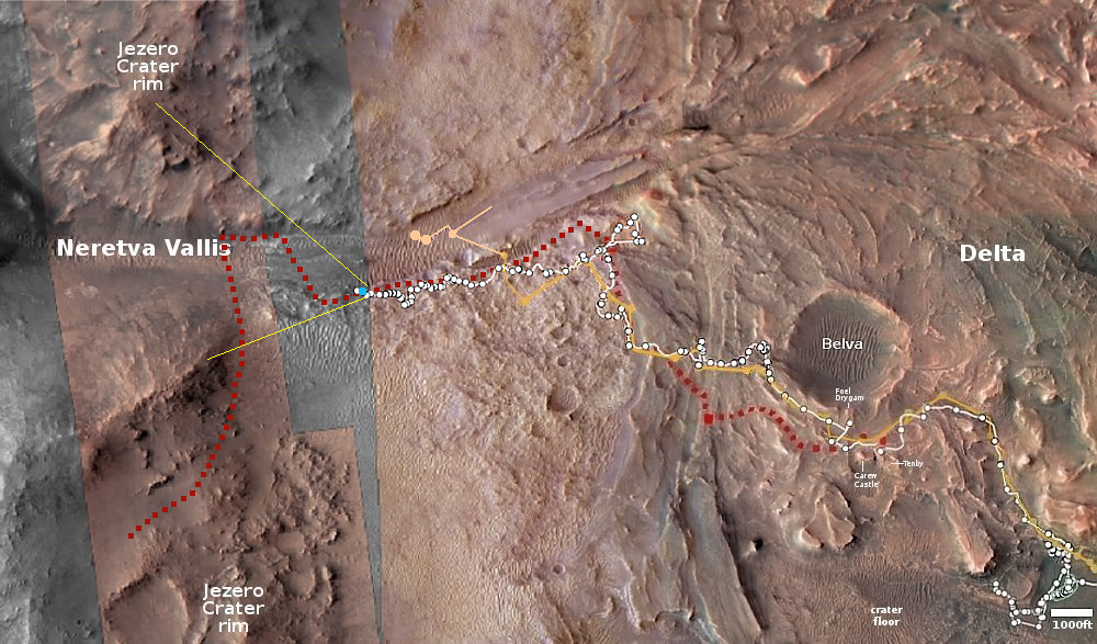
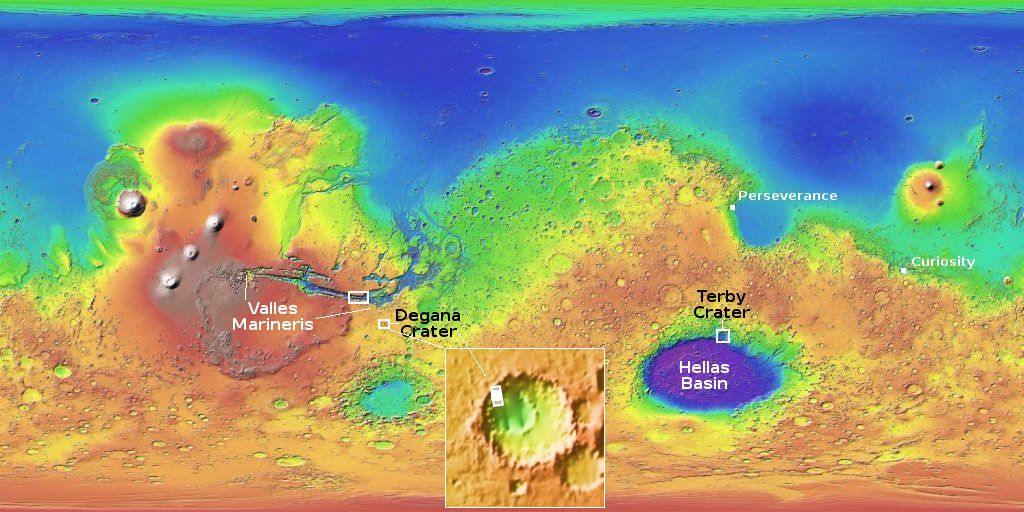
Click for interactive map.


