
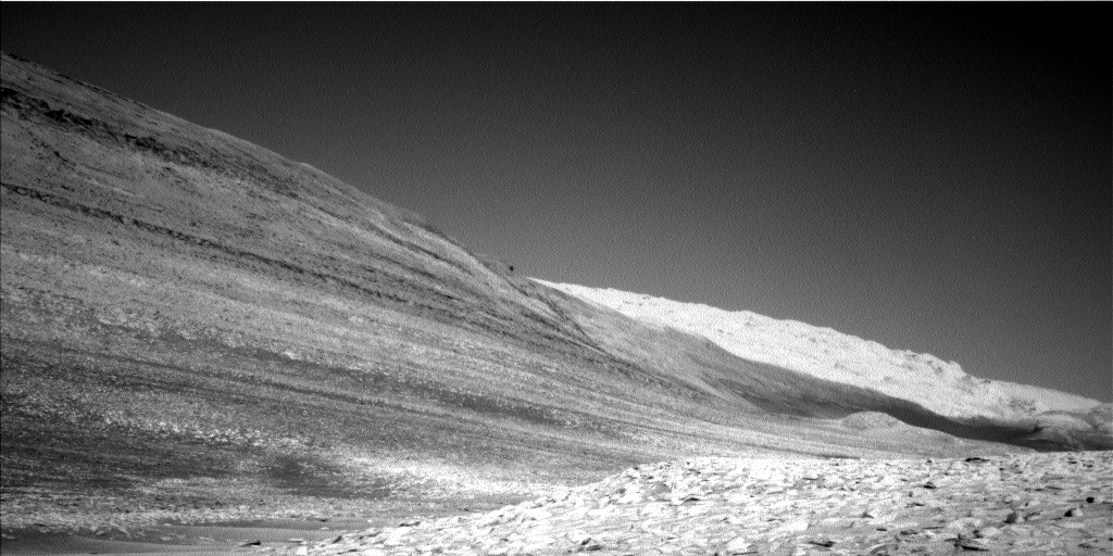
Big mountains everywhere inside Valles Marineris
Click for original image.
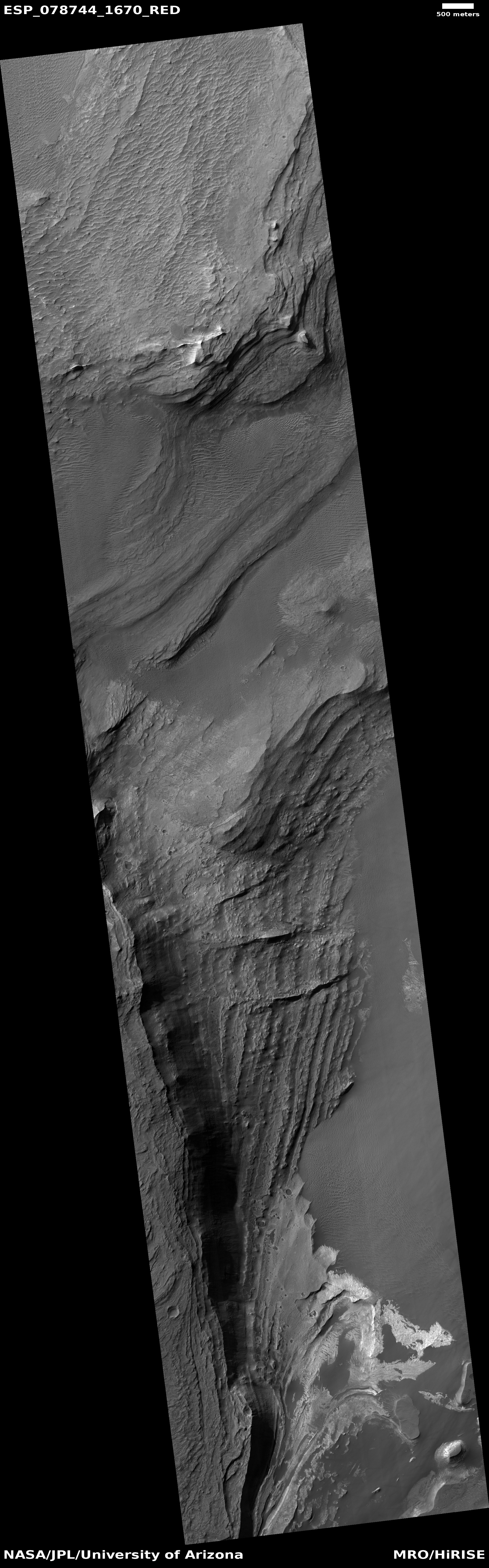
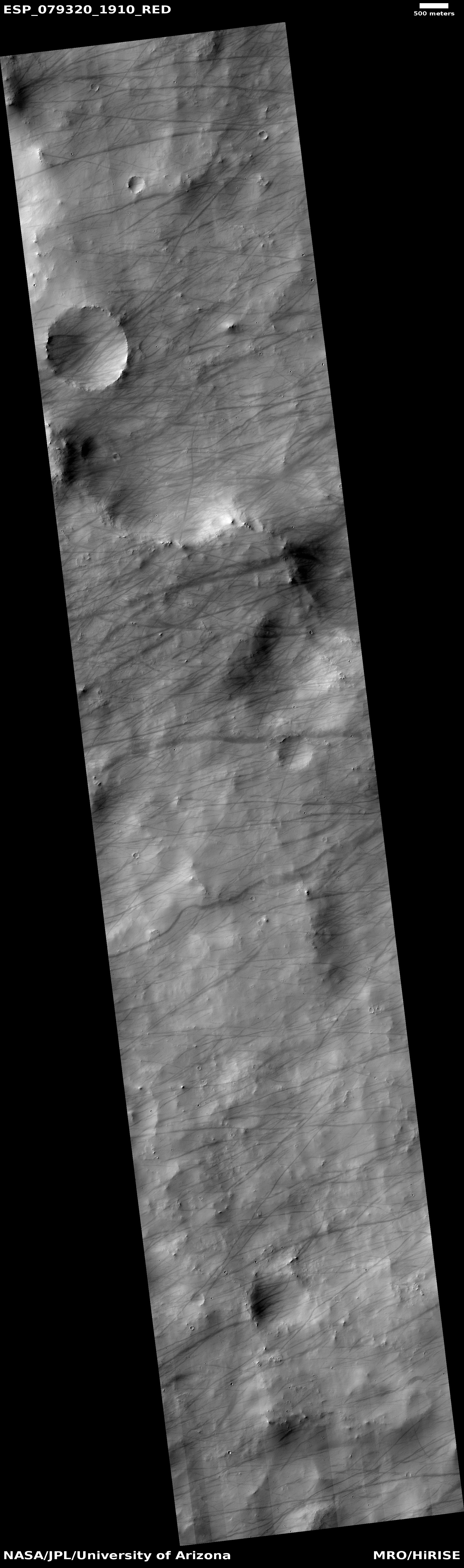
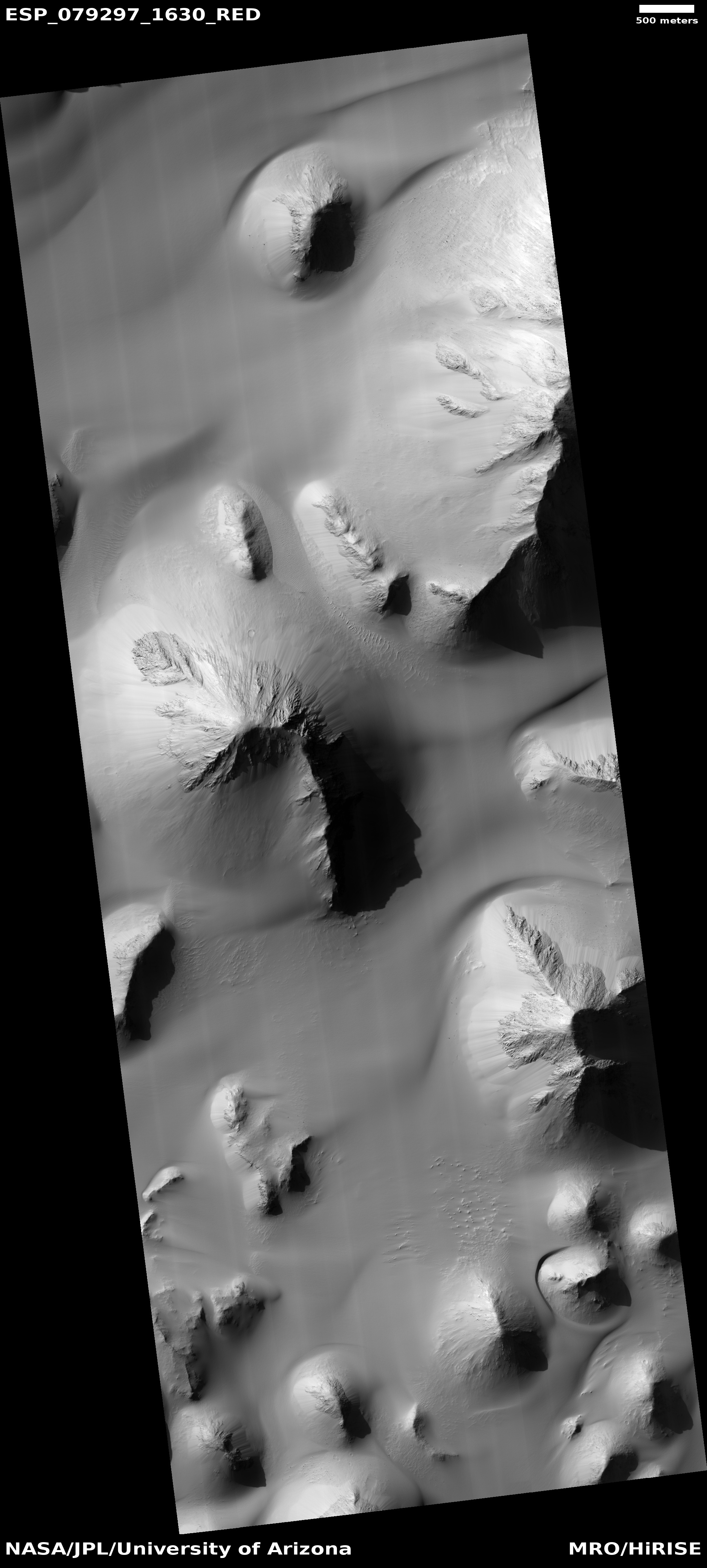
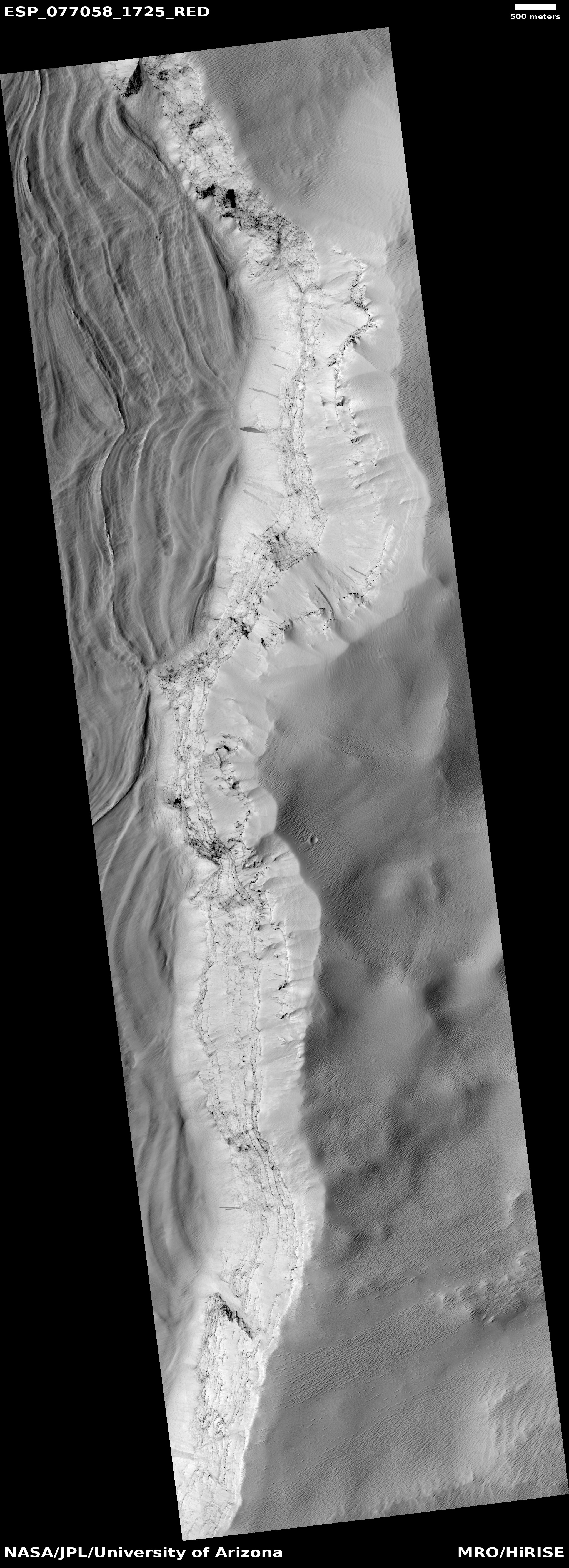
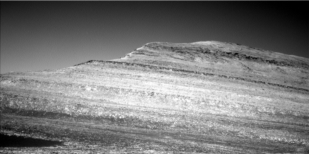
While the giant canyon Valles Marineris on Mars is known best as the biggest known canyon in the solar system — large enough to cover the continental United States several times over — that size tends to diminish the mountainous nature of its interior. Today’s cool image attempts once again (see for example these earlier posts here, here, here, here, and here) to illustrate that stupendous and mountainous nature.
The picture to the right, rotated, cropped, reduced, and sharpened to post here, was taken on May 15, 2023 by the high resolution camera on Mars Reconnaissance Orbiter (MRO). The goal of the picture was to get a better view of the numerous layers of this terraced cliff wall. What I see, however from my tourist’s perspective, is a steep wall that descends almost 4,500 feet from the high to the low point in just over three miles. This is as steep if not steeper than the walls of the Grand Canyon.
» Read more


