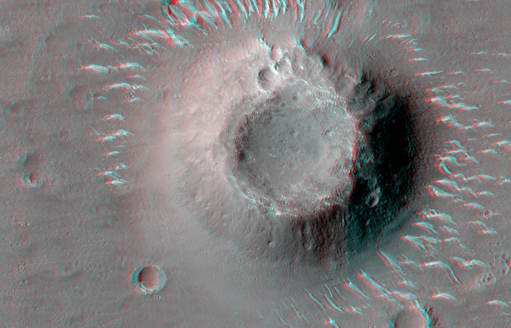
Scientists: Clay, not liquid water, explains radar data under Martian south icecap

The uncertainty of science: In a new paper scientists claim that clay materials, not liquid water, better explain the radar data obtained by orbital satellites, initially hypothesized to be liquid water lakes under Mars’ south polar icecap.

Sub-glacial lakes were first reported in 2018 and caused a big stir because of the potential for habitability on Mars. Astrobiologists and non-scientists were equally attracted to the exciting news. Now, the solution to this question, with great import to the planetary science community, may be much more mundane than bodies of water on Mars.

The strength of this new study is the diversity of techniques employed. “Our study combined theoretical modeling with laboratory measurements and remote sensing observations from The Compact Reconnaissance Imaging Spectrometer for Mars (CRISM) instrument on NASA’s Mars Reconnaissance Orbiter. All three agreed that smectites can make the reflections and that smectites are present at the south pole of Mars. It’s the trifecta: measure the material properties, show that the material properties can explain the observation, and demonstrate that the materials are present at the site of the observation,” Smith said.

This paper is only one of several recently that has popped the balloon on the liquid lake theory. Nothing is actually proven, but the weight of evidence is definitely moving away from underground liquid water under the south pole icecap.

1 comment

Nauka finally docks with ISS

ISS configuration with Nauka added
The configuration of the Russian portion of ISS with
Nauka and the as-yet launched docking hub.

This morning the new fullsize module to ISS, Nauka, finally docked with the station, ending a week of tension because of issues with its engines.

The docking was not without issue, with Russian cosmonauts noting that Nauka wasn’t on the correct course less than an hour before docking; however, a retro burn quickly corrected the issue. After also troubleshooting an issue with the TORU manual docking system, Nauka successfully docked in automated fashion to the Zvezda service module’s nadir port at 09:29 EDT / 13:29 UTC, marking the first major expansion to the Russian segment for over 20 years.

They will now begin a series of eleven spacewalks to outfit the module. This includes installing a new European-built robot arm and transferring an airlock and radiator on a different module that were originally built to be attached to Nauka and have been waiting eleven years for its much delayed arrival.

In November Russia will then launch a small docking hub module that will dock with Nauka and provide the docking ports that were lost when the Piers module was detached earlier this week (thus allowing Nauka to dock). This new docking hub is also critical, because it will allow Russia to limit dockings to the aft port on Zvezda, which has serious structural stress issues and must be treated gently to prevent further hull cracks and air leaks.

5 comments

The nearest hill to China’s Zhurong

Pitted cone near Zhurong
Click for full image.

Cool image time! The science team for the high resolution camera on Mars Reconnaissance Orbiter (MRO) today released a pair of images the camera took on June 28, 2021 of the nearest pitted cone to China’s Zhurong rover.

The stereo anaglyph to the right, cropped and reduced to post here, allows you, with blue-red 3D glasses, to see the cone in three dimensions. Quite impressive. As noted by Alfred McEwen of the Lunar & Planetary Laboratory in Arizona in his caption,

This image completed a stereo pair of a region just west of where the Zhurong rover landed in southern Utopia Planitia.

The cutout is from a portion of the stereo anaglyph, showing an enigmatic pitted cone. Is this cone composed of sediments or volcanic materials? The sharp bright features surrounding the cone are aeolian (wind-blown) landforms.

According to McEwan, the hill itself is about 200 to 220 feet high, with the pit at its top about 60-65 feet deep.

While McEwan has told me this cone would be his primary target if he was running Zhurong, it appears the Chinese are instead heading south toward the largest nearby crater, and on the way inspecting the parachute, fairing, and heat shield discarded just prior to landing.

The mosaic below from three MRO context camera images provides a wider overview.
» Read more

4 comments

Fractured crater close to the Phoenix lander on Mars

Fractured crater on Mars
Click for full image.

Cool image time! The photo to the right, cropped to post here, was taken on May 3, 2021 by the high resolution camera on Mars Reconnaissance Orbiter (MRO). It shows a remarkably fractured crater that lies only a few miles to the southeast of where the now-inactive Phoenix lander put down back in 2008, at the very high latitude of 69 degrees north.

Phoenix was purposely sent to this high latitude to find out what the ground and atmosphere was like there. It found the following:

Phoenix’s preliminary science accomplishments advance the goal of studying whether the Martian arctic environment has ever been favorable for microbes. Additional findings include documenting a mildly alkaline soil environment unlike any found by earlier Mars missions; finding small concentrations of salts that could be nutrients for life; discovering perchlorate salt, which has implications for ice and soil properties; and finding calcium carbonate, a marker of effects of liquid water.

Phoenix findings also support the goal of learning the history of water on Mars. These findings include excavating soil above the ice table, revealing at least two distinct types of ice deposits; observing snow descending from clouds; providing a mission-long weather record, with data on temperature, pressure, humidity and wind; observations of haze, clouds, frost and whirlwinds; and coordinating with NASA’s Mars Reconnaissance Orbiter to perform simultaneous ground and orbital observations of Martian weather.

Below is an overview map showing the location of both this crater and the Phoenix lander.
» Read more

0 comments

An astrophysicist explains cosmology’s theoretical failures

Link here. The astrophysicist, Paul Sutter, does a very nice job of outlining the conundrum that has been causing astrophysicists to tear their hair out for the past decade-plus.

In the two decades since astronomers discovered dark energy, we’ve come upon a little hitch: Measurements of the expansion rate of the universe (and so its age) from both the CMB [cosmic microwave background] and supernovas have gotten ever more precise, but they’re starting to disagree. We’re not talking much; the two methods are separated by only 10 million or 20 million years in estimating the 13.77-billion-year history of the universe. But we’re operating at such a level of precision that it’s worth talking about.

If anything, this failure for two measurements of data spanning billions of light years — which is billions in both time and space — is a perfect illustration of the uncertainty of science. Astrophysicists are trying to come up with answers based on data that is quite thin, with many gaps in knowledge, and carries with it many assumptions. It therefore is actually surprising that these two numbers agree as well as they do.

Sutter, being in the CMB camp, puts most of the blame for this failure on the uncertainty of what we know about supernovae. He could very well be right. The assumptions about supernovae used to measure the expansion rate of the universe are many. There is also a lot of gaps in our knowledge, including a full understanding of the process that produces supernovae.

Sutter however I think puts too much faith in theoretical conclusions of the astrophysics community that have determined the age of the universe based on the CMB. The uncertainties here are as great. Good scientists should remain skeptical of this as well. Our knowledge of physics is still incomplete. Physicists really don’t know all the answers, yet.

In the end, Sutter however does pin down the biggest problem in cosmology:

The “crisis” is a good excuse to keep writing papers, because we’ve been stumped by dark energy for over two decades, with a lot of work and not much understanding. In a sense, many cosmologists want to keep the crisis going, because as long as it exists, they have something to talk about other than counting down the years to the next big mission.

In other words, the discussion now is sometimes less about science and theories and cosmology, but instead about funding and career promotion. What a shock!

11 comments

A hiker’s view from Mount Sharp

A hiker's view of Gale Crater, taken by Curiosity
Click for full image.

A quick cool image! The photo to the right, reduced to post here, was taken yesterday by Curiosity’s left navigation camera. It looks west across the floor of Gale Crater, at the base of a nearby butte.

The crater rim, as seen by the distant mountains, is about 25 miles away. The butte that towers above Curiosity is probably no more than 50 feet high.

Below is a panorama showing the full view to the west, with Navarro Mountain (the nearby 450-foot-high foothill at the base of Mount Sharp) on the left edge. Based on the rover’s planned route, it will travel to the right of the butte rather than climbing up onto the saddle on the left. This will take it to the western side of Navarro Mt, where it will eventually head south into the canyon Gediz Vallis.
» Read more

4 comments

1st water vapor in Ganymede’s atmosphere, detected using data from Hubble

Using Hubble data, astronomers have detected the first evidence of water vapor in the atmosphere of Jupiter’s largest moon, Ganymede.

Though larger than the blistering planet Mercury, the Jovian moon Ganymede is no place to go sunbathing. Located ½-billion miles from the Sun, the water ice on its surface is frozen solid in frigid temperatures as low as minus 300 degrees Fahrenheit. This makes the ice as hard as rock. Still, a rain of charged particles from the Sun is enough to turn the ice into water vapor at high noon on Ganymede.

This is the first time such evidence has been found, courtesy of the Hubble Space Telescope’s spectroscopic observations of aurora on Ganymede spanning two decades. The auroras are used to trace the presence of oxygen, which then is linked to the presence of water molecules sputtering off the surface. Ganymede has a deep ocean located an estimated 100 miles below the surface. That’s too deep for water vapor to be leaking out.

This detection has a margin of uncertainty, but it provides a baseline for the up close observations planned for Europe’s JUICE orbiter, set to launch in ’22 and arrive in Jupiter orbit in ’29. JUICE’s study focus will be the three Galilean moons that appear to have lots of ice, Ganymede, Calisto, and Europa.

0 comments

Update on Ingenuity’s 10th flight and Perseverance’s first sample drilling

Ingenuity landing at end of 10th flight

The news coming from the Perseverance and Ingeniuty science teams has been sparse this past weekend, even though Perseverance had begun drilling its first core sample that it will stored for pickup by a later unmanned robot, and Ingenuity had attempted its 10th and most challenging flight yet.

We do have images however, and the two to the right give us hints about what has happened.

First, the top picture on the right was taken by Ingenuity’s navigation camera just prior to landing. The camera looks straight down and is used by the helicopter to adjust its flight. The dark area is the helicopter’s shadow. Based on this picture and the four preceding images (taken over an eleven second period), it appears the helicopter was landing safely. No other images have yet been downloaded, nor has the Ingenuity team announced any results, so we do not yet know if the flight proceeded as planned.

UPDATE: The flight was a success, as per this JPL announcement:

With the #MarsHelicopter’s #flight success today, we crossed its 1-mile total distance flown to date. It targeted an area called “Raised Ridges,” named for its #geographic features. Flight 10 is #Ingenuity’s most complex flight profile yet, with 10 distinct waypoints and a new #record height of 40 feet (12 meters).

Drill and core sample in the ground

The second image, taken by Perseverance’s left navigation camera and cropped and reduced to post here, is more puzzling. It shows what appears to be the core sample still in the ground after drilling. While this could be entirely as planned, it seems very surprising. Most of what I can find online describing the operation for obtaining these samples implies that the robot arm would drill the hole, and then retract the sample immediately to place it in storage. Nothing suggests the arm would be retracted with the sample still in the ground.

I think however the odds of this picture revealing a problem are low. This JPL press release from February 2021 implies vaguely that the core sample will be released in this manner before retraction. After the core sample, with bit, is separated from the arm, the release suggests they will lift the arm away to inspect the drilling process, then return the arm to retract the core sample for storage. This does make some sense, though grabbing that sample again will be quite challenging.

If this was not supposed to happen as described, then there is a problem that must be resolved. I expect more details in the next day or so to clarify this situation.

5 comments

The Oort Cloud: what little is known

Link here. This is one of the best articles on the theorized Oort Cloud, in that right off the bat the author recognizes this important fact:

We know so little about it that its very existence is theoretical — the material that makes up this cloud has never been glimpsed by even our most powerful telescopes, except when some of it breaks free.

The cloud’s existence is extrapolated from the arrival of long period comets, and seems to make sense. Yet, without any direct observations it remains a theory only, and an unproven one at that.

4 comments

SpaceX wins contract to launch Europa Clipper to Jupiter

Capitalism in space: NASA today awarded SpaceX a $178 million contract to use its Falcon Heavy rocket to launch Europa Clipper to Jupiter.

If all goes according to plan, Clipper will lift off in October 2024 from NASA’s Kennedy Space Center in Florida and arrive in orbit around Jupiter in April 2030. The probe will then study Europa in depth during nearly 50 close flybys of the moon over the course of about four Earth years, mission team members have said.

The award is not really a surprise. Falcon Heavy is really the only operational rocket with the power capable of launching this mission. Because for years Congress had mandated Europa Clipper be launched on SLS, it was designed with more mass than normal for such planetary missions. Delays in the SLS program however finally forced Congress to relax that mandate, but that left NASA with a payload too heavy for all operational rockets except Falcon Heavy, and even that requires this six year flight, with flybys of the Earth and Mars to get it to Jupiter.

The price for the launch is significantly greater than SpaceX normally charges for its Falcon Heavy, but since it was the only game in town, I suspect SpaceX drove a hard bargain.

10 comments

Ice, lava, quakes, and faults, all in one Martian image

A lot of geology in one picture
Click for full image.

Cool image time! The photo to the right, rotated, cropped, and reduced to post here, was taken by the high resolution camera on Mars Reconnaissance Orbiter (MRO) on April 25, 2021. It grabbed my attention because it possibly captures a whole range of Martian geological processes, all in one place, including evidence of quakes, of lava, of faults, and possibly of glaciers.

First, ignore the black rectangle, which is merely a small section of lost data.

The picture itself shows a wide north-south fissure, as indicated by the distinct western cliff and the fainter and less pronounced eastern cliff. This fissure, likely formed along a fault, was created when the crust was pushed and stretched upward by the pressure of underground volcanic magma, part of the long series of eruptions that formed the many similar and parallel north-south fissures south of the shield volcano Alba Mons.

The overview map below illustrates this fissure’s relationship with Alba Mons.
» Read more

0 comments

Global dust storm on Mars brought on an early spring in southern hemisphere

Scientists analyzing the climate effects from the 2018 global dust storm on Mars have found that while it did little to change the seasons in the northern hemisphere, it caused winter to end early in southern hemisphere.

The team found that the 2018 storm had profoundly different effects in each hemisphere. At the south pole, where the vortex was almost destroyed, temperatures rose and wind speeds fell dramatically. While the vortex may have already been starting to decay due to the onset of spring, the dust storm appears to have had a decisive effect in ending winter early.

The northern polar vortex, by contrast, remained stable and the onset of autumn followed its usual pattern. However, the normally elliptical northern vortex was changed by the storm to become more symmetrical. The researchers link this to the high dust content in the atmosphere suppressing atmospheric waves caused by the extreme topography in the northern hemisphere, which has volcanoes over twice as tall as Mount Everest and craters as deep as terrestrial mountains.

These differences are likely also related to the eccentricity in the Martian orbit around the Sun, which is greater than that of Earth and actually has a direct effect on its seasons. As noted in this recently published paper about the activity scientists have now documented on the Martian surface in the past decade,

Because perihelion (the closest approach to the Sun) currently occurs [during summer in the south], southern hemisphere seasons are more extreme, with a longer winter and shorter, warmer summer

This difference is probably a major factor explaining the different effects of the global dust storm. It also is probably why the Red Planet’s two polar ice caps are so different.

This difference between the two hemispheres will also likely help drive the intitial human settlement on Mars to the north. Not only does the northern hemisphere have the flat lowland plains, making those first difficult landings easier and safer, it has a more benign climate year round.

1 comment
1 221 222 223 224 225 729