
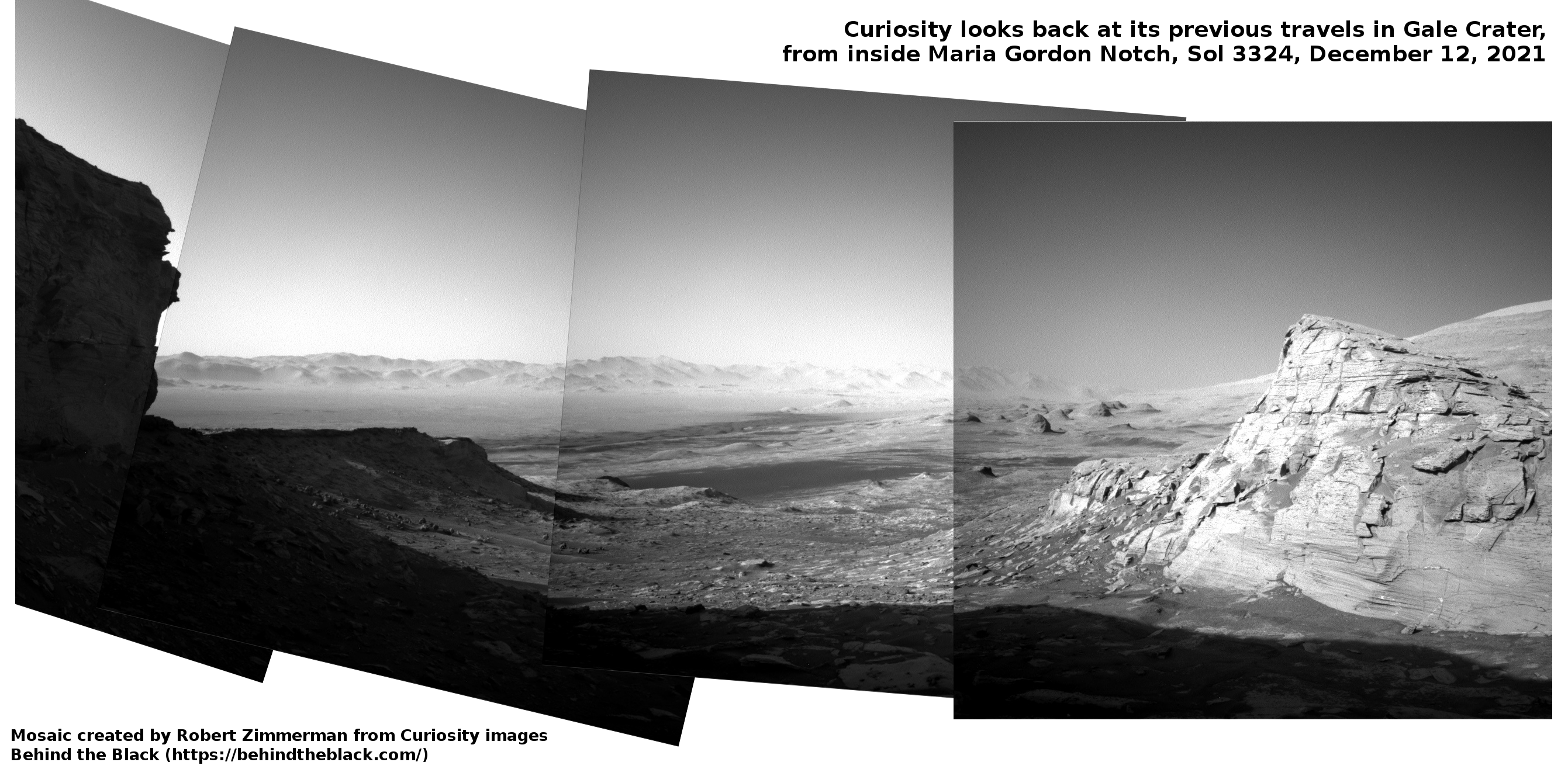
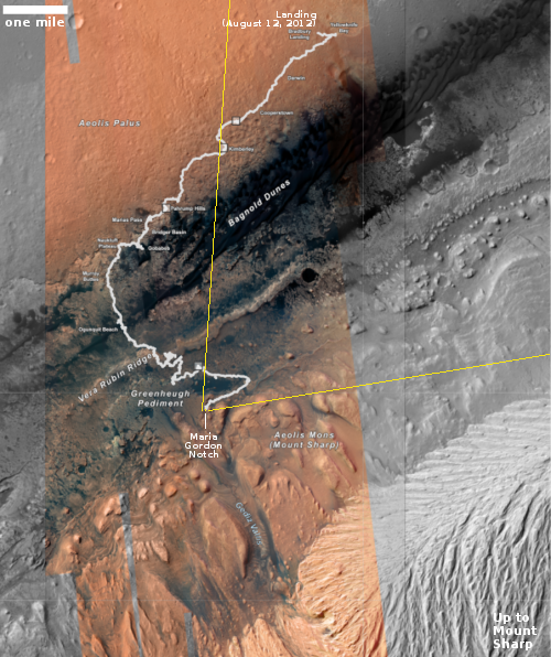
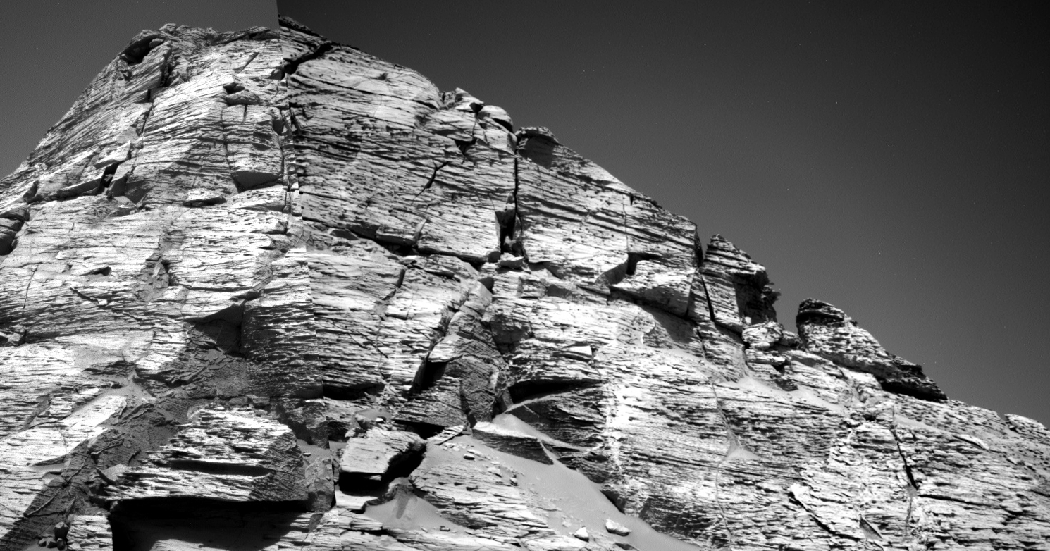
NASA approves Axiom’s second commercial flight to ISS
In a strangely worded NASA press release, the agency announced that it has “selected” Axiom for the second private commercial manned mission to ISS.
NASA has selected Axiom Space for the second private astronaut mission to the International Space Station. NASA will negotiate with Axiom on a mission order agreement for the Axiom Mission 2 (Ax-2) targeted to launch between fall 2022 and late spring 2023.
As at present there appears to be no other American company planning commercial manned flights to ISS, NASA wasn’t “selecting” Axiom at all. All NASA was doing was approving Axiom’s proposal to fly the mission to NASA’s space station, while confirming that Axiom will pay NASA’s greatly increased charges, raised about 700% more than the older price list.
The language of this announcement, combined with the exorbitant NASA charges, is only going to accelerate the effort of private companies, including Axiom, to build their own independent space stations. It isn’t NASA’s place to “select” any privately funded commercial flight into space, ever. That this government agency is making believe it has that right is only going to alienate the new private space industry, giving them reason to get away from NASA as fast as possible.
Meanwhile, Axiom is already scheduled to fly its first tourist flight to ISS in February 2022. The second flight that NASA “selected” today is to be followed by two more, for a total of four tourist flights. At that point, around 2024, Axiom will then launch its first module to ISS, beginning the process of relying less on NASA and leading to the undocking of Axiom’s station from ISS.
