
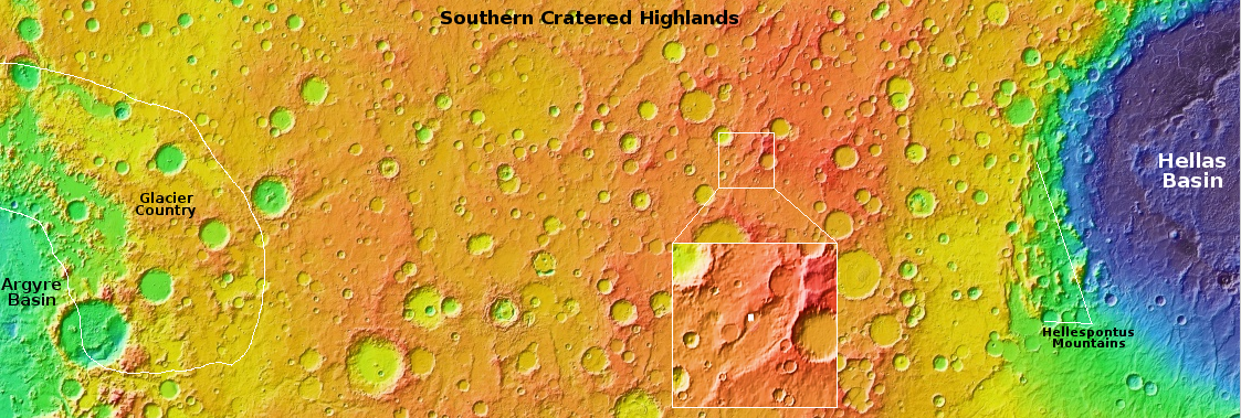
Chaos in the southern cratered highlands of Mars
Click for full image.vi
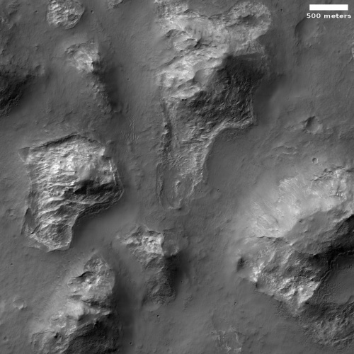
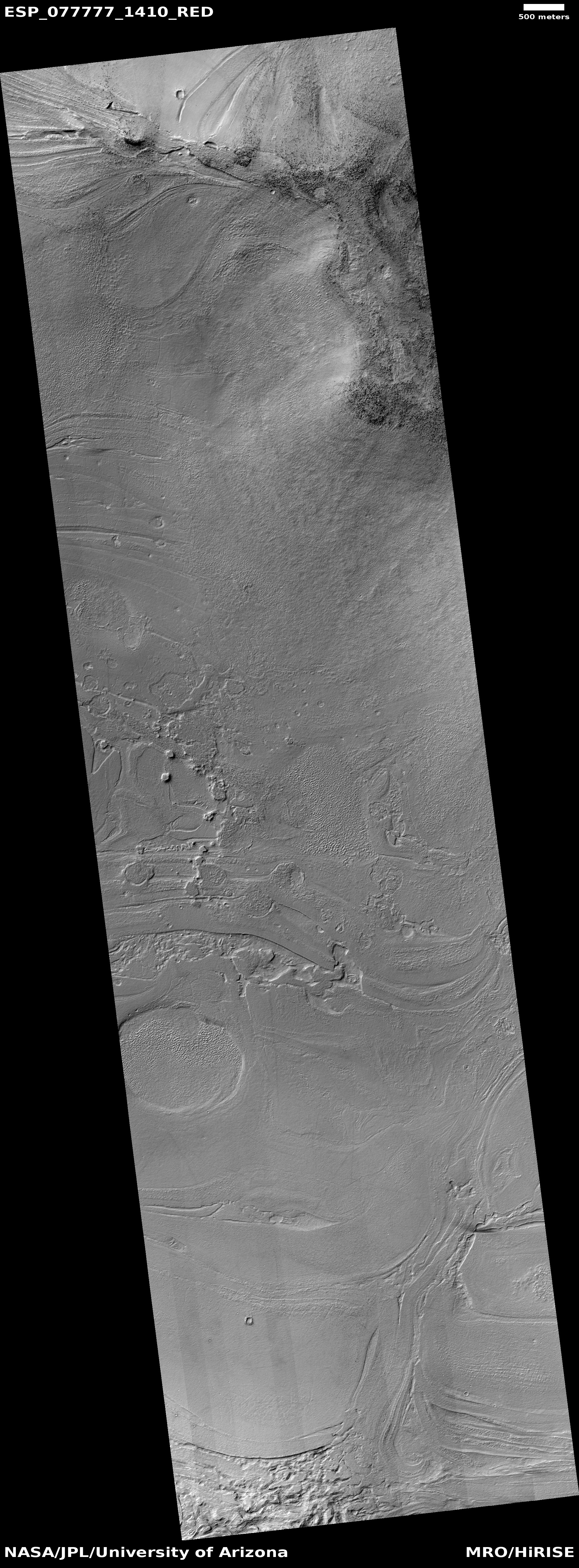
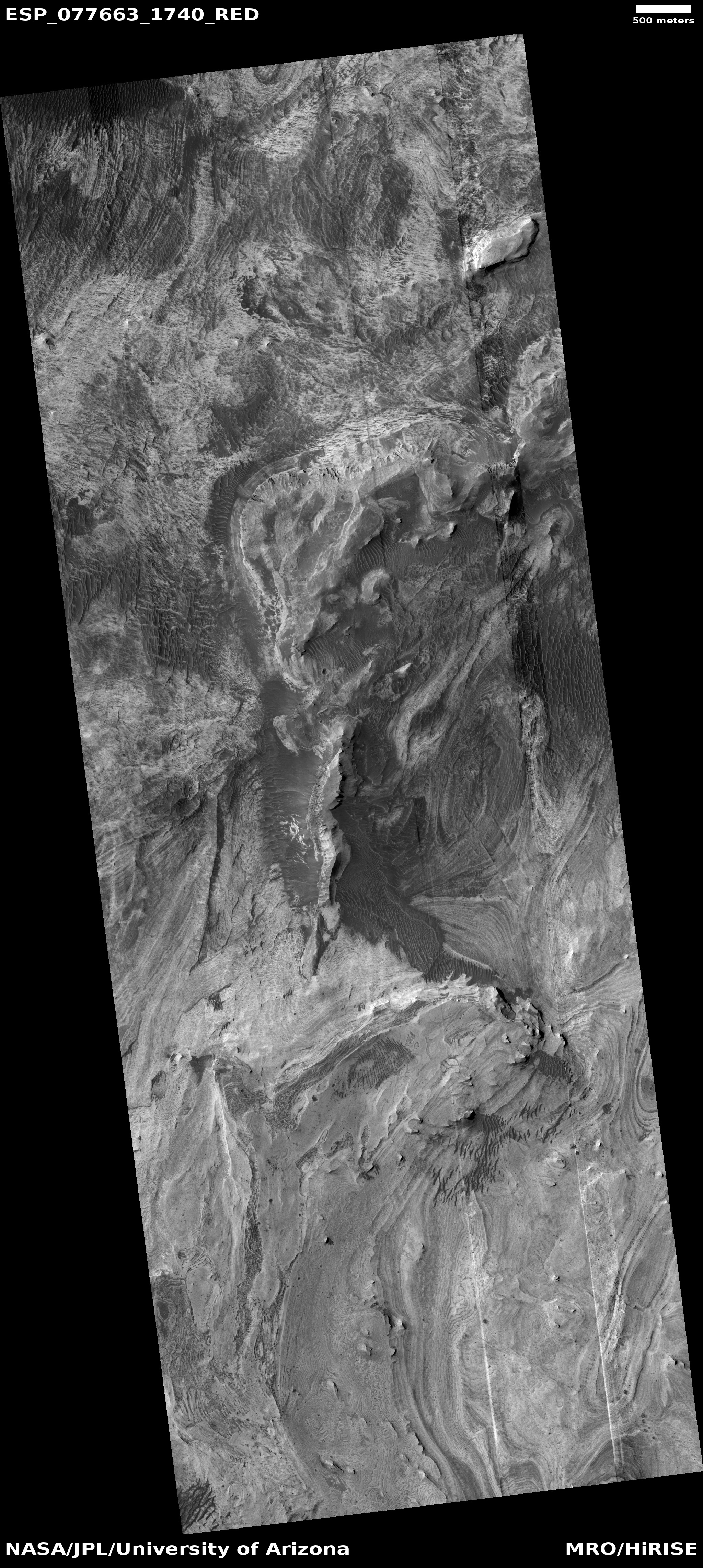
Today’s cool image takes us to a part of the cratered southern highlands of Mars that I have not featured much previously. The picture to the right, rotated, cropped, and reduced to post here, was taken on March 7, 2023 by the high resolution camera on Mars Reconnaissance Orbiter (MRO). It shows what appears to be a collection of rough hills and mesas surrounded by a sea of smooth ground that at the base of the cliffs seems to end abruptly.
The smooth ground is probably mantled by a layer of dust and debris. Since this location is at 36 degrees south latitude, there is also probably near surface ice under that layer. The abrupt edges likely indicate where the increasing slope next to the mesas and mounds caused that ice to be exposed and thus sublimate away.
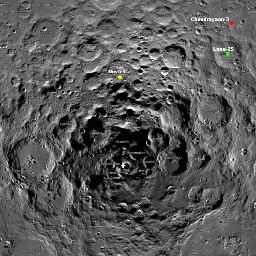
As for the location, we must go to the overview map.
» Read more

Click for full image.vi
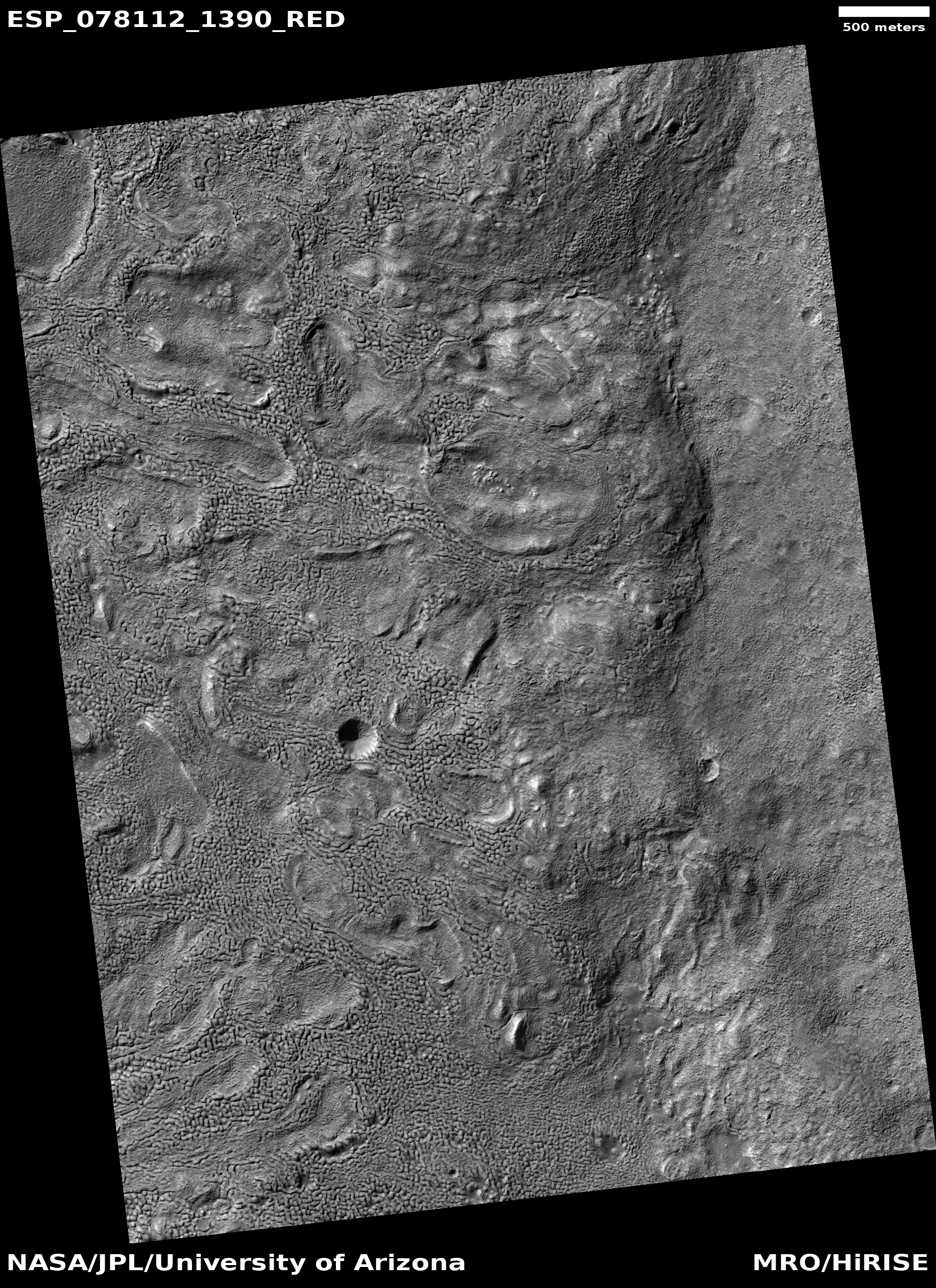
Today’s cool image takes us to a part of the cratered southern highlands of Mars that I have not featured much previously. The picture to the right, rotated, cropped, and reduced to post here, was taken on March 7, 2023 by the high resolution camera on Mars Reconnaissance Orbiter (MRO). It shows what appears to be a collection of rough hills and mesas surrounded by a sea of smooth ground that at the base of the cliffs seems to end abruptly.
The smooth ground is probably mantled by a layer of dust and debris. Since this location is at 36 degrees south latitude, there is also probably near surface ice under that layer. The abrupt edges likely indicate where the increasing slope next to the mesas and mounds caused that ice to be exposed and thus sublimate away.
As for the location, we must go to the overview map.
» Read more


