Ancient Martian landslides

Click for original image.
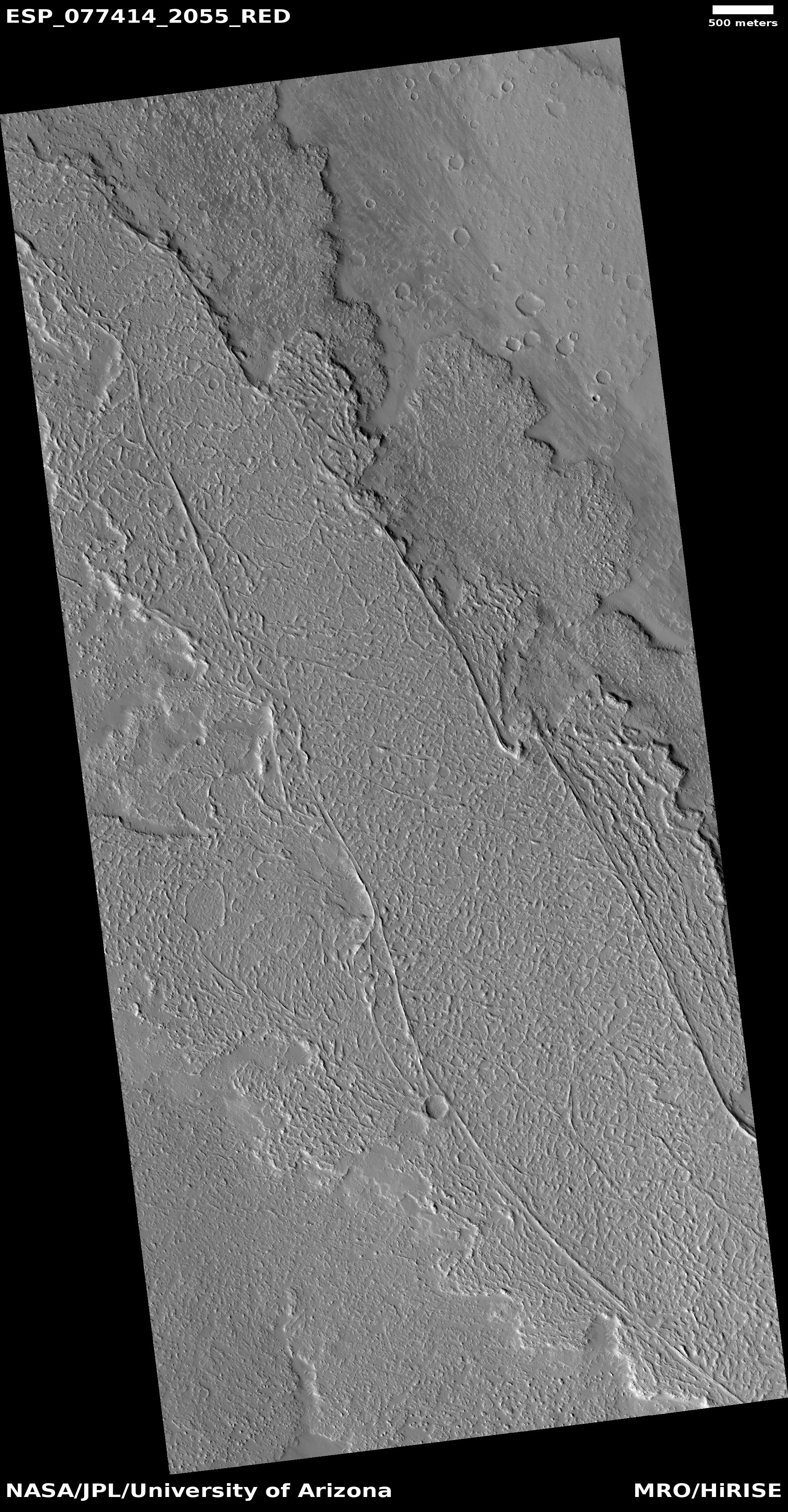
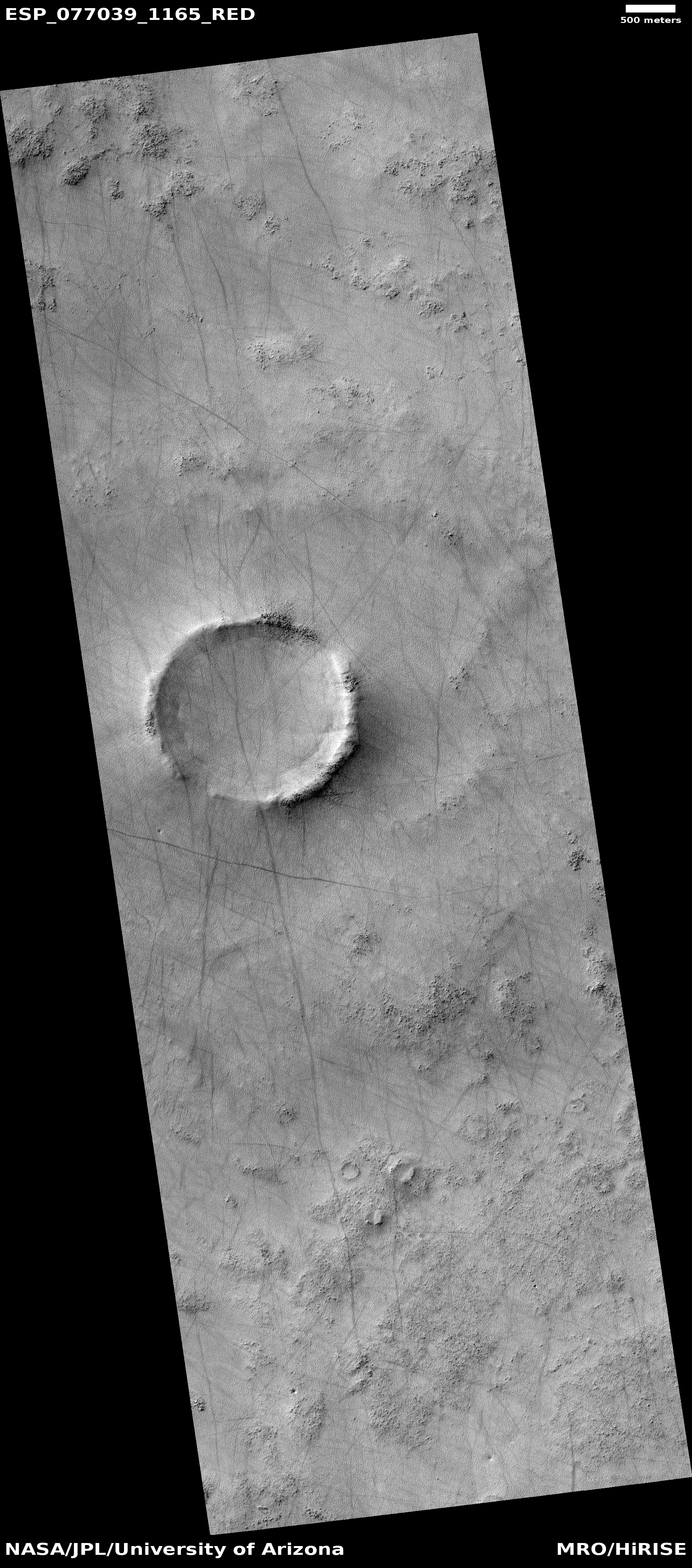
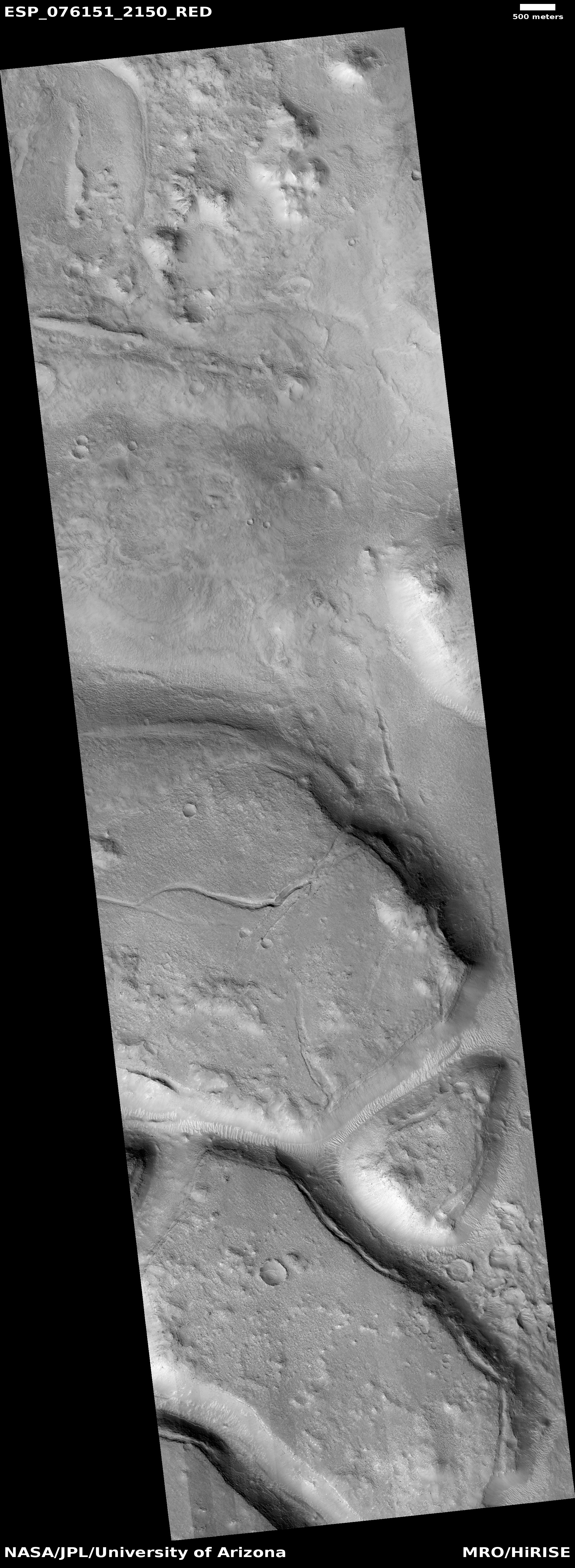
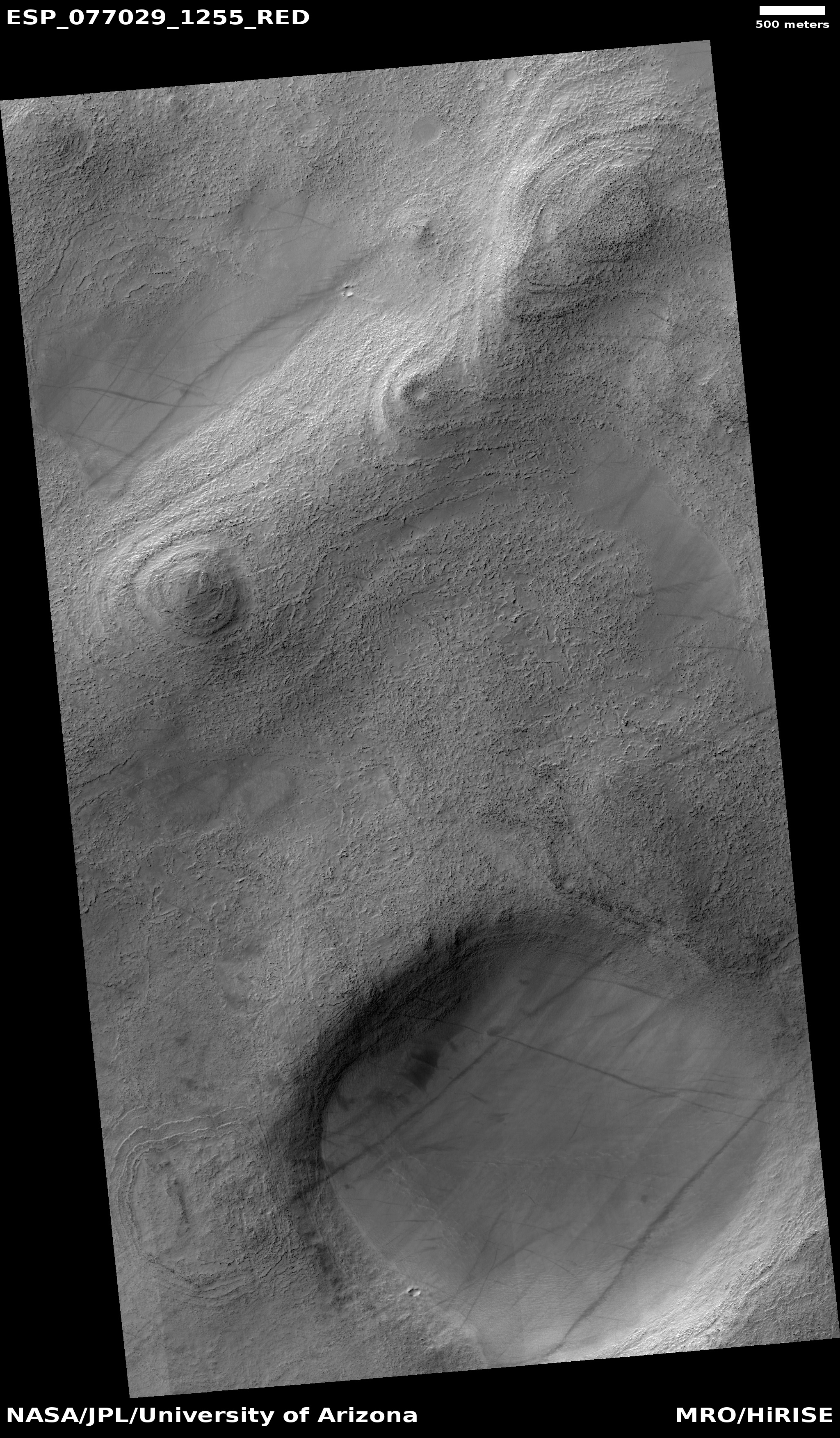
Cool image time! The picture to the right, rotated, cropped, reduced, and sharpened to post here, was taken on December 23, 2022 by the high resolution camera on Mars Reconnaissance Orbiter (MRO). The image was labeled “Landslides in Orson Welles Crater” because the full photo shows at least two large and obvious slides, with the biggest shown to the right.
These avalanches are likely ancient because both have craters on them suggesting the material has not moved for a very long time. Yet when both flowed they did so almost like mud, the material moving downhill almost in a single blobby mass. Both have this look, as do many Martian landslides, which I think is why the scientists usually label them mass wasting events.
» Read more