
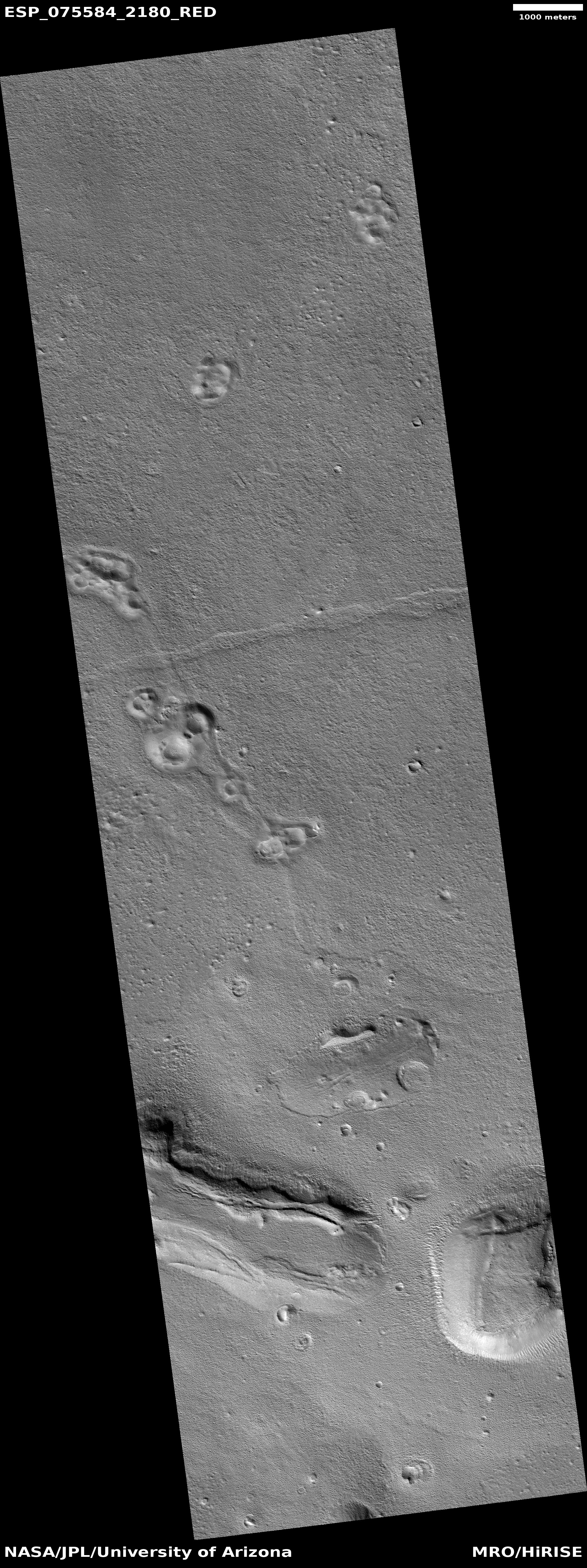
A Martian river canyon?
Click for full image.
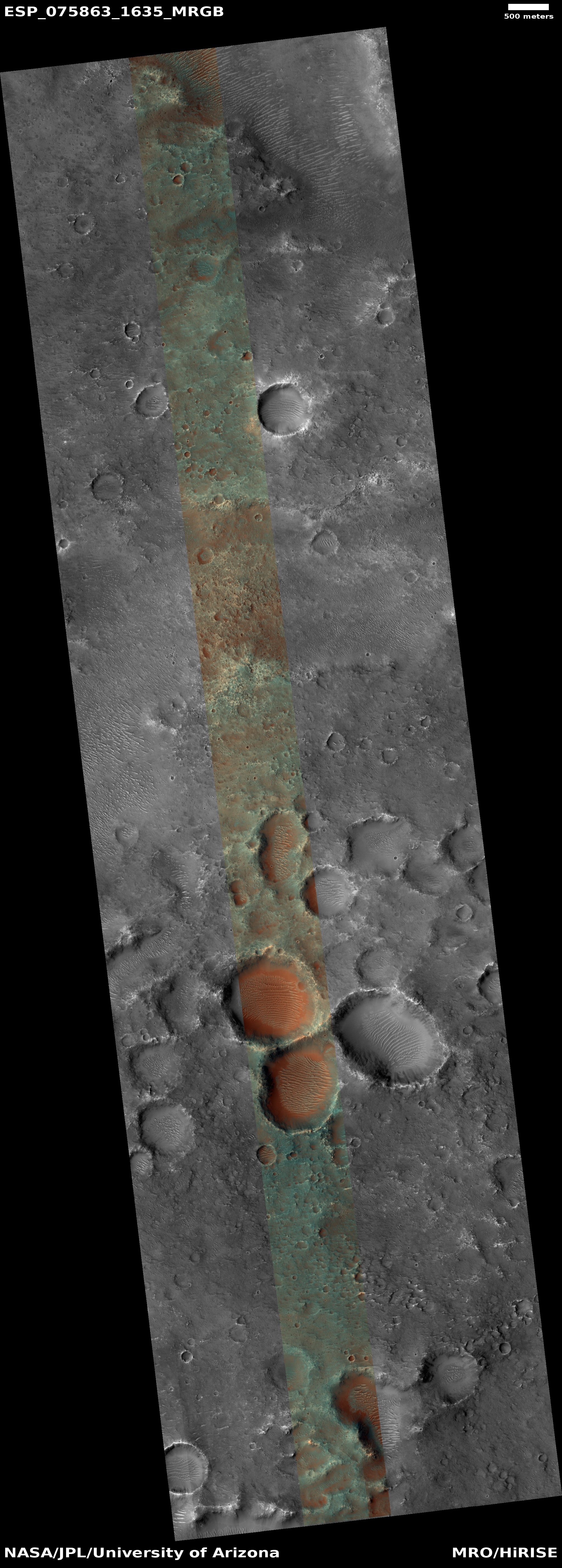
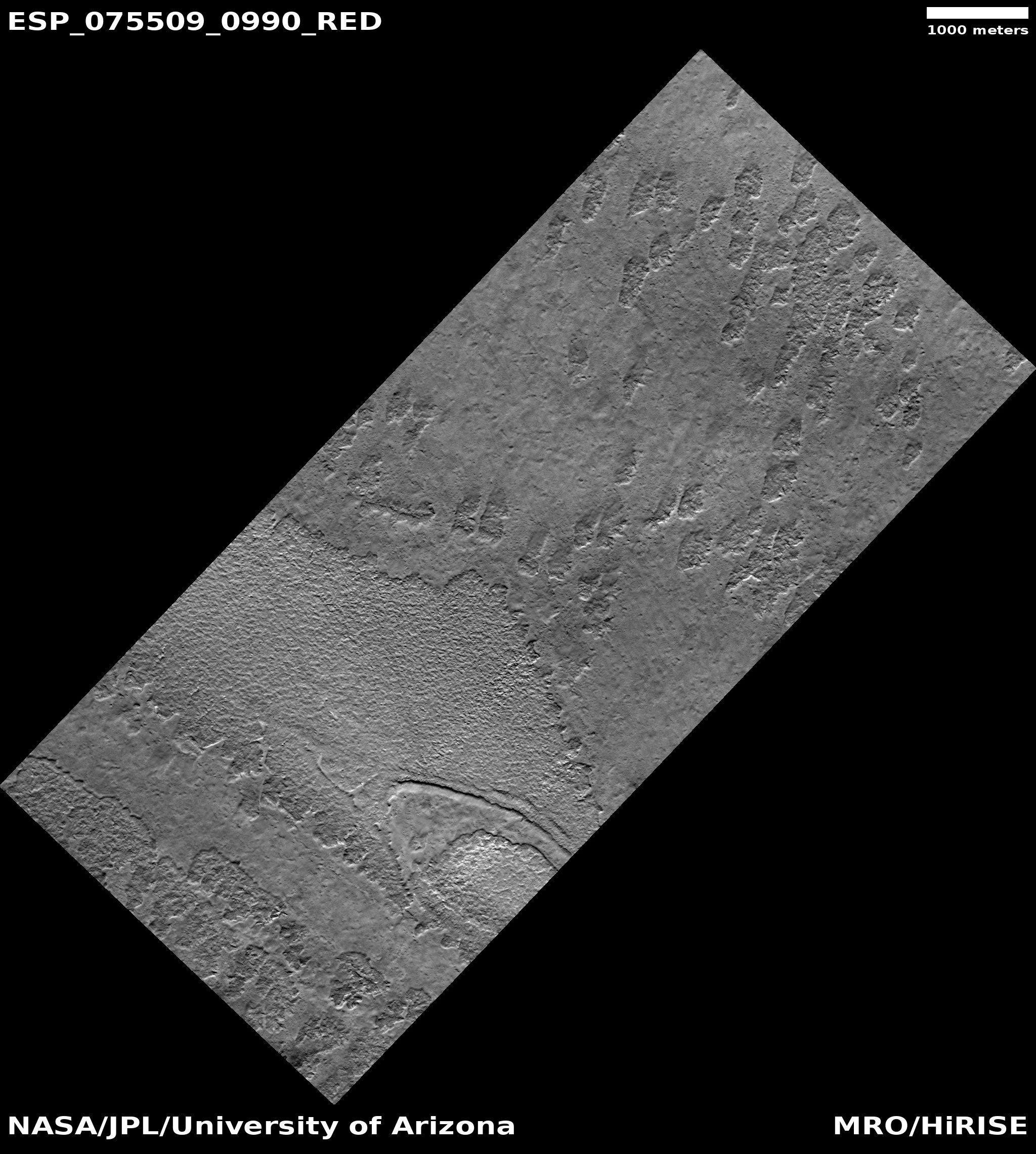
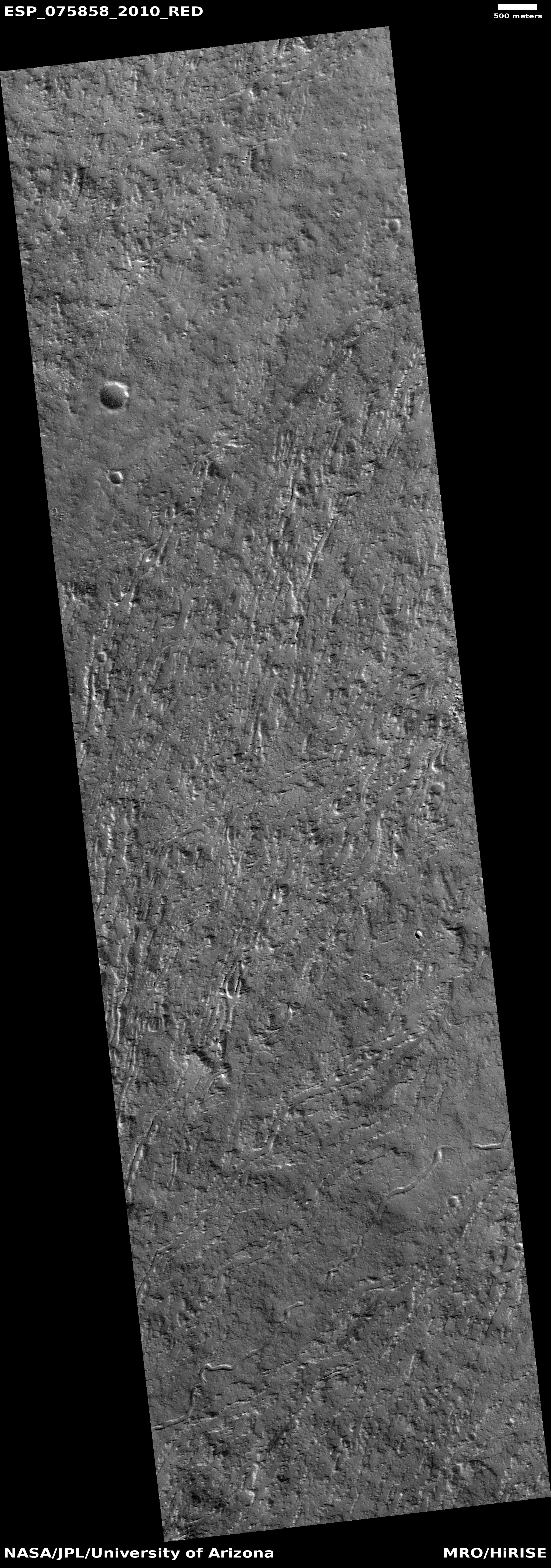
Today’s cool image highlights the biggest mystery of Mars that has baffled scientists since the first good pictures of its surface were taken in the early 1970s by the Mariner 9 orbiter. The picture to the right, rotated, cropped, reduced, and sharpened to post here, was taken on October 24, 2022 by the high resolution camera on Mars Reconnaissance Orbiter (MRO), and shows a very small segment of the 400-mile-long meandering canyon on Mars called Nigal Vallis. From the Wikipedia page:
The western half of Nirgal Vallis is a branched system, but the eastern half is a tightly sinuous, deeply entrenched valley. Nirgal Vallis ends at Uzboi Vallis. Tributaries are very short and end in steep-walled valley heads, often called “amphitheater-headed valleys.”
We can see one of those short tributaries on the image’s left edge. The overview maps below provide a wider view of this entire canyon.
» Read more


