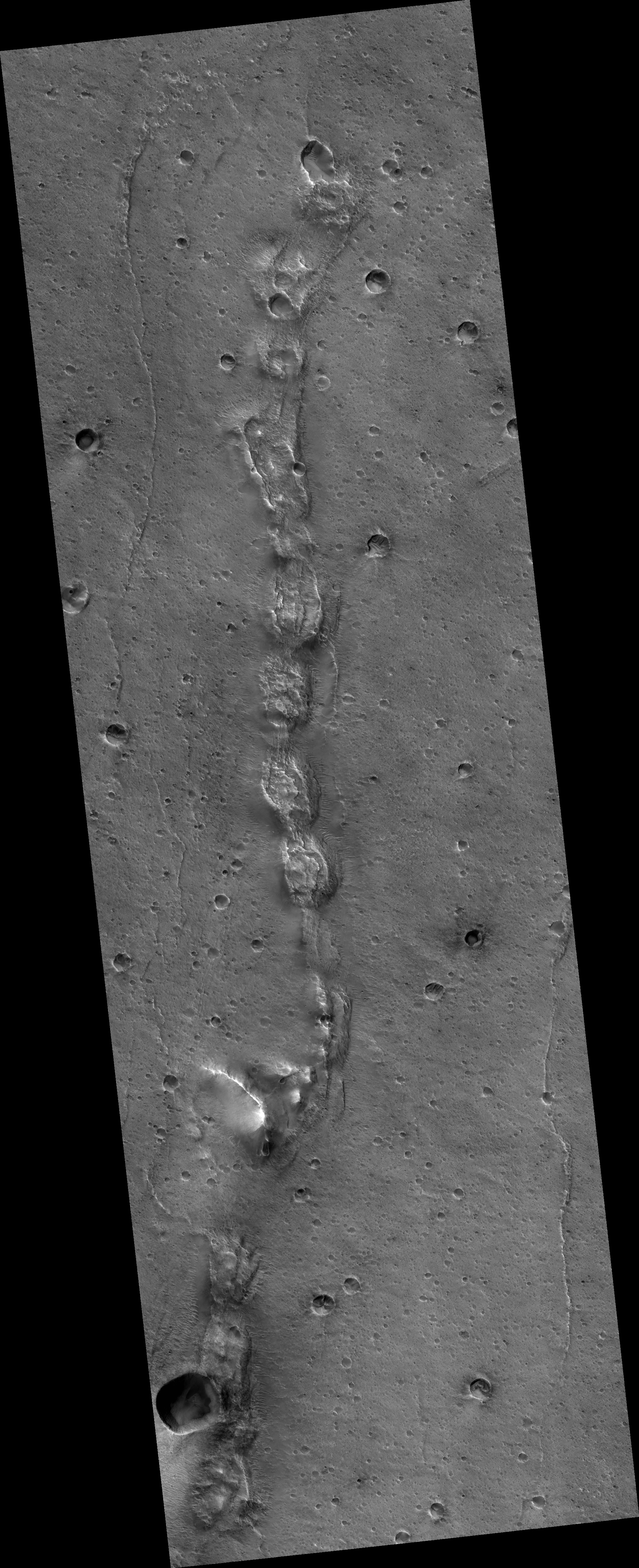
The aging data relay spacecraft orbiting Mars

By the 2020s, NASA and other space agencies sending landers and rovers to Mars will be faced with a data-relay crisis, as the orbiters they presently use to provide communications with the Martian surface are aging, and no replacements are presently planned.

The venerable Mars Global Surveyor (MGS) and Mars Odyssey spacecraft were the first to employ data relay capabilities in the modern era of Mars exploration. They operated as relays for the twin Mars Exploration Rover missions until the arrival of the Mars Reconnaissance Orbiter (MRO) in 2006.

MGS entered into a safe mode in November 2006 and NASA later declared the mission over in January 2007 after the space agency failed to reestablish contact with the aging orbiter. The 12-year-old MRO and 17-year-old Odyssey have served as the primary data relays for Mars surface missions since.

More important, funding for a dedicated communications satellite called NEMO, planned for launch in 2022, has disappeared.

However, funding for NeMO has been largely phased out in favor of directing limited funds towards the development of the Mars Sample Return mission. Mars Sample Return has the primary objective of fetching samples that scientists plan to collect and cache using the Mars 2020 rover currently under development. The current Planetary Science Decadal Survey has listed the flagship sample return mission as the primary objective for NASAโ€™s Mars program in the 2020s, along with requisite funding. The existing fleet of orbiting spacecraft at Mars, while aging, are in generally good health meaning the postponement of a new orbiter will require careful management of existing orbital assets into the next decade.

One of the reasons there is no funding for NEMO is that NASA has had to steal money from its planetary program to fund the cost overruns on the James Webb Telescope. Though this was never admitted publicly, the cuts that the Obama administration imposed on the planetary program were partly to pay for Webb. Thus, not only has that telescope killed almost all of NASA’s entire astrophysics program, it has damaged the planetary program as well.

3 comments

The two Mars cubesats flying in formation with InSight

Even as the InSight lander heads to Mars, it is being accompanied by two test cubesats, the first such smallsats to ever fly an interplanetary mission.

The MARCO mission objective is a challenging one. The team will provide a dedicated relay during Mars InSight’s descent to the surface of the Red Planet on November 26, 2018. Rather than entering orbit, the CubeSats will pass 2,175 miles (3,500 kilometers) from Mars during the larger mission’s crucial landing phase. Mars will be 97.5 million miles (157 million kilometers) away at the time, making for an 8.7-light-minute communications lag from Mars to the Earth. The lag means that NASA engineers will need to wait 8.7 minutes to see whether the landing was successful, equivalent to Curiosity’s “seven minutes of terror;” meanwhile, if all goes well, MARCO will have a front-row seat to the show. While the success of the InSight mission isn’t dependent on MARCO, the CubeSats will provide a black box data recorder of all aspects of the mission’s descent.

If these cubesats succeed in accomplishing their engineering test missions, their true innovation will not be engineering but cost reduction. If they prove that cubesats can be designed as interplanetary probes, the costs to build and launch such missions will be drastically reduced. Not only do cubesats routinely use cheaper off-the-shelf components, they are far lighter than standard satellites, which means a smaller, cheaper rocket can launch them.

The data-relay test of these cubesats however is quite important, nonetheless. See my post above.

1 comment

Atlas 5 successfully launches Mars lander InSight

ULA’s Atlas 5 rocket early this morning successfully launched NASA’s newest Mars lander InSight.

InSight will drill a seismic probe into the Martian surface and monitor earthquake activity. This will be the first time such monitoring will occur, and the probe is planned to do it for at least two years.

The launch puts the U.S. back in a tie with China for the lead in launches this year. The standings:

13 China
8 SpaceX
5 Russia
5 ULA

11 comments

Volcano or Impact?

Elliptical crater with flow features

Cool image time! Yesterday the Mars Reconnaissance Orbiter (MRO) team released its monthly image dump of more than 500 new photographs, taken by the spacecraft’s high resolution camera. As I have started to do in the past few months, I am reviewing this collection and plan to post a few of the more interesting images over the next month. On the right is the first of this series. I have cropped and reduced the resolution to show here, but you can see the full resolution version if you click on the image.

The MRO team labels this image an “elliptical crater with flow features.” The first impression one gets from the image is that the impact that caused the crater came from the side and hit the ground obliquely, creating the crater’s oval shape and the lava-type flow features in the crater’s floor.

As is almost always the case with Martian geology, beware of first impressions. You need to give any feature both a more detailed look as well as a broader view to have any chance at understanding its context and geology.
» Read more

4 comments

Alien world

Meridiani Planum
So what is it we are looking at in the image above? I have reduced the resolution slightly to fit it here, but you can see the full resolution image by clicking on the picture.

Is it a marble or granite kitchen counter? Nah, the surface is too rough.

Maybe it’s a modern abstract painting that we can find hanging in the Museum of Modern Art in New York. Nah, it has too much style and depth. Abstract art is much more shallow and empty of content.

Could it be a close-up of a just-opened container of berry-vanilla ice cream, the different flavors swirling and intertwined to enhance the eating experience? No, somehow it looks too gritty for ice cream.
» Read more

7 comments

Heat shield for 2020 Mars rover cracks during testing

The heat shield to be used during landing by the U.S.’s 2020 Mars rover cracked during recent testing.

The heat shield’s structural damage, located near the shield’s outer edge, happened during a weeklong test at the Denver facility of contractor Lockheed Martin Space, according to a NASA statement released Thursday (April 26). The test was intended to subject the heat shield to forces about 20 percent greater than those it will experience when it hits the Martian atmosphere for entry, descent and landing operations.

The Mars 2020 team found the fracture on April 12. Mission management at NASA’s Jet Propulsion Laboratory in Pasadena, California, will work with Lockheed Martin to lead an examination of the cause of the crack and to decide if any design changes should be made, NASA officials said in the statement.

They do not expect this issue to cause them to miss the 2020 launch window. However, it is astonishing that the heat shield should fail in this manner. First, to save development costs this rover was essentially a rebuild of Curiosity. The new heat shield should have been the same design, and thus should have already been proven capable of surviving this test. Second, Lockheed Martin has been making heat shields of all kinds for decades. This is not cutting edge technology.

Third, note that Lockheed Martin is building Orion, and it also experienced cracks in the capsule’s structure (not its heat shield) during manufacture and testing.

Overall, these facts suggest that some fundamental manufacturing error has occurred, and that there might also be a quality control problem at Lockheed Martin.

6 comments

Mars rover update: April 27, 2018

Summary: Curiosity’s exploration of Vera Rubin Ridge is extended, while an attempt by Opportunity to climb back up Perseverance Valley to reach an interesting rock outcrop fails.

For a list of past updates beginning in July 2016, see my February 8, 2018 update.

Curiosity

Curiosity's traverse map, Sol 2030

For the overall context of Curiosity’s travels, see Pinpointing Curiosityโ€™s location in Gale Crater.

Since my March 21, 2018 update, it has become apparent that the Curiosity science team has decided to extend the rover’s research on Vera Rubin Ridge far beyond their original plans. They have continued their travels to the northeast well past the original nominal route off the ridge, as indicated by the dotted red line on the traverse map above. Along the way they stopped to inspect a wide variety of geology, and have now moved to the north and have actually begun descending off the ridge, but in a direction that takes the rover away from Mount Sharp and its original route. As noted in their April 25 update,
» Read more

1 comment

Trace Gas Orbiter releases its first image

Trace Gas Orbiter's first released image of Korolev Crater

Europe’s Trace Gas Orbiter has released its first image after reaching its planned science orbit.

The image is posted above, reduced in resolution to show here. It shows a portion of the rim of Korolev Crater, a rare large crater located in the vast northern plains of Mars. Because it is so far north, it has ice on the rim which looks almost like glacial flows in this image.

0 comments

Zooming in on a Martian surprise

Global map of Mars

Let’s take a journey. Above is a global map of Mars, showing its largest and well known geological features. While far smaller than Earth, its lack of oceans means that Mars’ actual dry surface has about the same square footage as the continents of Earth. It is a vast place. Getting a close look at every spot is going to take many decades of work, and probably won’t be finished until humans are actually walking its surface.

Let’s pick a spot, zoom in and find out what’s there.
» Read more

5 comments

Imaging restrictions on Mars Reconnaissance Orbiter

Young lava flows on Mars

In releasing a new set of four captioned images today from the high resolution camera on Mars Reconnaissance Orbiter (MRO), the captions from each also included this paragraph:

Note: HiRISE has not been allowed to acquire off-nadir targeted observations for a couple of months due to MRO spacecraft issues, so many high-priority science objectives are on hold. What can be usefully accomplished in nadir mode is sampling of various terrains. Especially interesting in this observation are bedrock exposures, which provide information about the geologic history of Mars. โ€œNadirโ€ refers to pointing straight down.

The image restrictions are probably related to either or both the battery and and reaction wheel issues noted in recent status report. What it means is that though they can still take good and revealing images, like the one to the right, cropped and reduced to post here, showing very young lava flows only a few million years old, scientists have less flexibility in what they can photograph.

If you click on the image you can see the full resolution version. The reason scientists think these are young flows is that they are so few craters here. The lava flows are located in the southern lava flows coming off the large volcano Elysium Mons, which sits due west of Mars’ largest volcano, Olympus Mons. These flows are also in the transition zone between Mars’ low flat northern plains and its high rough southern terrain.

When and if the spacecraft can resume full imaging operations is unknown. Based on the status report, it might never do so.

1 comment

Is it a volcano or an impact crater? Mars Express wants to know!

Europe’s Mars Express orbiter has taken a high resolution image of Ismenia Patera, a very large crater located in the Arabia Terra region of Mars, the largest part of the transition zone between the low flat northern plains and the high rough southern terrain.

The crater is intriguing to scientists because they are not sure if it was created by an impact, or a volcano.

Certain properties of the surface features seen in Arabia Terra suggest a volcanic origin: for example, their irregular shapes, low topographic relief, their relatively uplifted rims and apparent lack of ejected material that would usually be present around an impact crater.

However, some of these features and irregular shapes could also be present in impact craters that have simply evolved and interacted with their environment in particular ways over time.

There is also additional evidence that this region was once home to volcanic activity. If so, that activity would have changed the terrain, and thus made its geological history more complex and difficult to decipher, a fact that is important since this is also a region that might have been at the edge of theorized northern Martian Ocean.

3 comments

A Martian snake of collapsed hills

A Martian snake of collapsed hills

Close-up of collapsed hills

Time to once again delve into this month’s release of high resolution images from Mars Reconnaissance Orbiter. The image above, cropped, rotated, and reduced in resolution to post here, shows a string of strange mounds or hills, each with similar collapse features on their tops. If you click on the picture, you can see the full resolution image, rotated properly with north up. You can also go to the MRO post, which provides some additional information.

The white box indicates the location of the cropped close-up, at full resolution, to the right. This area is typical across the entire snake-like ridge. You have these mounds or hills, each with chaotic depressions at their tops. The depressions suggest that this ridge follows an underground void, like a lava tube. The ridge-like nature of the line of hills also suggest that this tube has been exposed by erosion over time, with the surrounding terrain more easily blown or washed away while the more resistant ridge remains.

At the same time, the line of hills is baffling. Why would a lava tube expand periodically to form something that looks like a string of pearls?

The location of this snaking ridge provides some additional context.
» Read more

8 comments
1 154 155 156 157 158 212