
A pit on the Moon reveals some really bad journalism

At the start of this week three different major news organizations posted articles about a so-called “discovery” of a cave on the Moon that could sustain a human colony.
What all three articles [now updated with a fourth] demonstrated however was how little research was done by the journalists who wrote the articles, as well as the lack of any editorial supervision to make sure the news organization publishing the stories didn’t look stupid.
Here are the articles in question:
- The Guardian: Underground cave found on moon could be ideal base for explorers
- BBC: Cave discovered on Moon could be home for humans
- New Scientist: Scientists have confirmed a cave on the moon that could be used to shelter future explorers
- Space.com: Newly discovered cave on the moon could house future lunar astronauts [Added July 18]
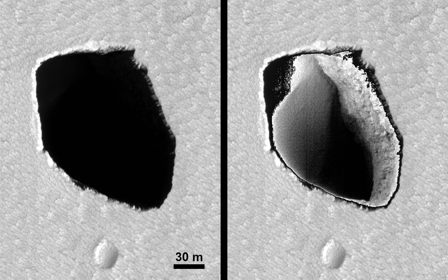
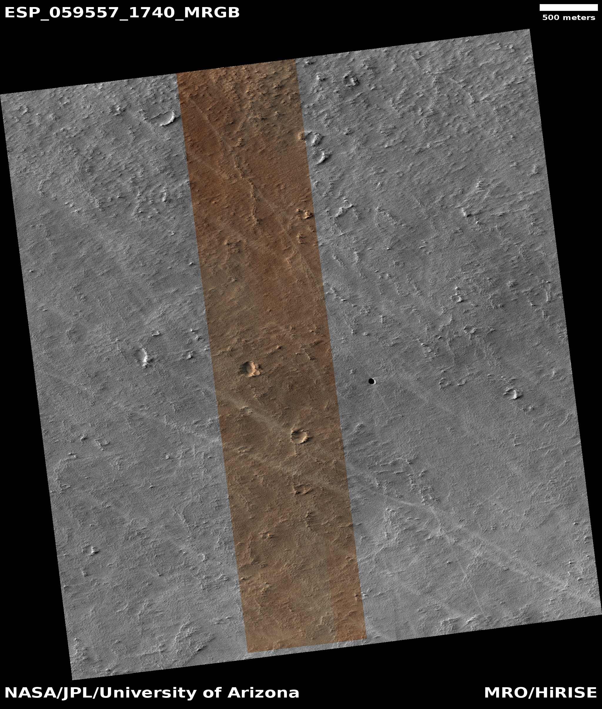
The original paper that these stories are based on can be read here. It didn’t take me more than five seconds to immediately recognize that the pit in question, dubbed the Mare Tranquillitatis pit, has been known about for years. I in fact wrote about it as long ago as 2011, when researchers used Lunar Reconnaissance Orbiter (LRO) to take oblique images of it. One such image is to the right, cropped and enhanced to post here.
The new research has simply used the radar instrument on LRO to take oblique radar data to see if there are any cave passages at its base, and found that there could be voids leading off from the pit as much as “tens of meters” long, or about 100 feet or so.
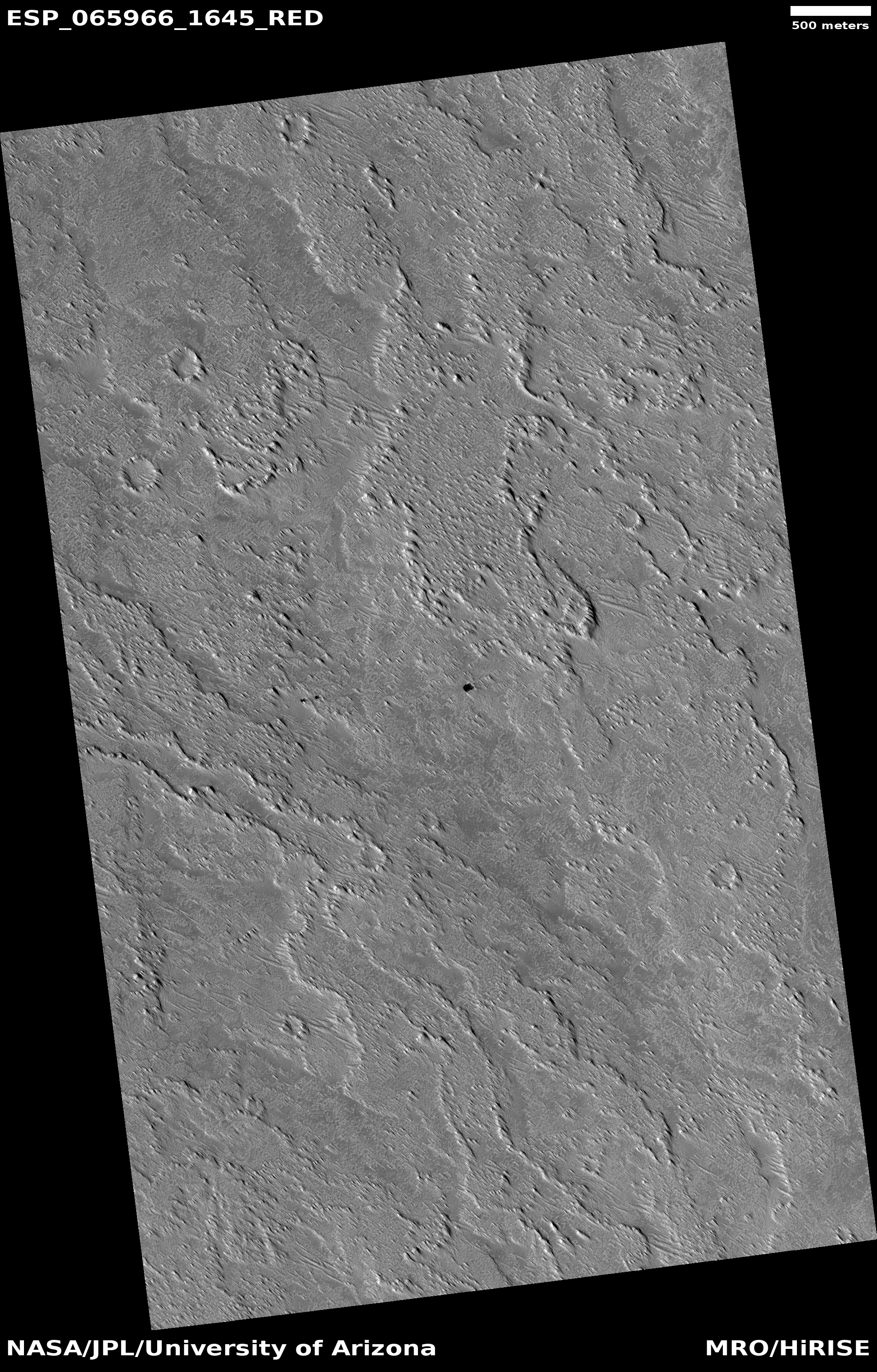
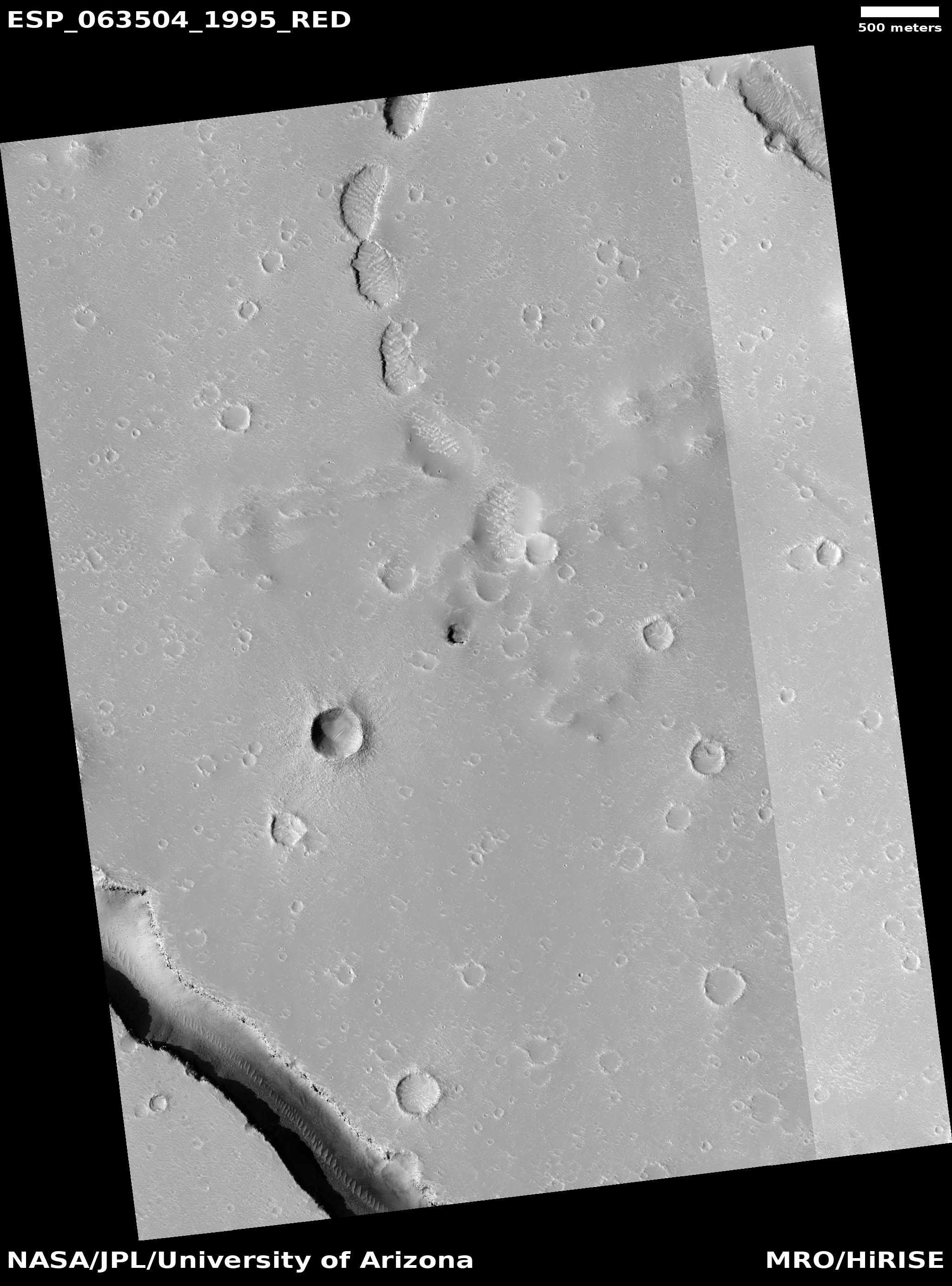
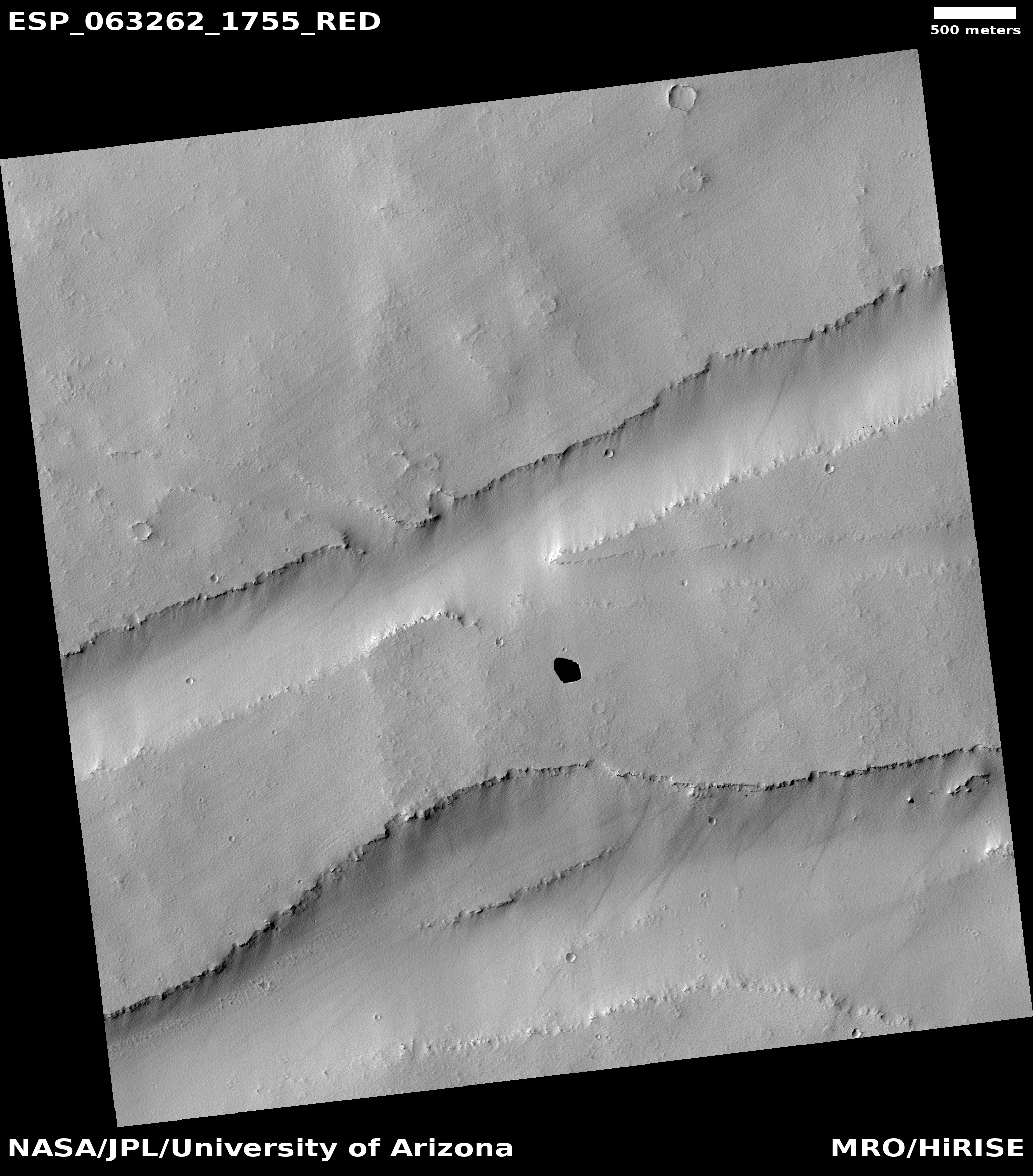
This is good research, but the finding is hardly significant. Numerous other studies have suggested the same results, all tantalizing but entirely unconfirmed until we can send some probe (manned or manned) into these pits. In addition, hundreds of similar lunar pits have been documented for more than a decade.
Yet the first two articles above treated this cave as God’s gift to humanity, as if it was the first such pit found on the Moon that could hold a human base, while the third provided so little information about the background of this work that the article was essentially worthless.
I write this as a warning to my readers. Mainstream news sources no longer do the proper due diligence that should be expected from writers and editors. If you want good information, you need to go to sources that specialize in the subject (such this website), and you must go to more than one in order to understand the subject entirely.

At the start of this week three different major news organizations posted articles about a so-called “discovery” of a cave on the Moon that could sustain a human colony.
What all three articles [now updated with a fourth] demonstrated however was how little research was done by the journalists who wrote the articles, as well as the lack of any editorial supervision to make sure the news organization publishing the stories didn’t look stupid.
Here are the articles in question:
- The Guardian: Underground cave found on moon could be ideal base for explorers
- BBC: Cave discovered on Moon could be home for humans
- New Scientist: Scientists have confirmed a cave on the moon that could be used to shelter future explorers
- Space.com: Newly discovered cave on the moon could house future lunar astronauts [Added July 18]
The original paper that these stories are based on can be read here. It didn’t take me more than five seconds to immediately recognize that the pit in question, dubbed the Mare Tranquillitatis pit, has been known about for years. I in fact wrote about it as long ago as 2011, when researchers used Lunar Reconnaissance Orbiter (LRO) to take oblique images of it. One such image is to the right, cropped and enhanced to post here.
The new research has simply used the radar instrument on LRO to take oblique radar data to see if there are any cave passages at its base, and found that there could be voids leading off from the pit as much as “tens of meters” long, or about 100 feet or so.
This is good research, but the finding is hardly significant. Numerous other studies have suggested the same results, all tantalizing but entirely unconfirmed until we can send some probe (manned or manned) into these pits. In addition, hundreds of similar lunar pits have been documented for more than a decade.
Yet the first two articles above treated this cave as God’s gift to humanity, as if it was the first such pit found on the Moon that could hold a human base, while the third provided so little information about the background of this work that the article was essentially worthless.
I write this as a warning to my readers. Mainstream news sources no longer do the proper due diligence that should be expected from writers and editors. If you want good information, you need to go to sources that specialize in the subject (such this website), and you must go to more than one in order to understand the subject entirely.


