
Strange beat-up Martian terrain
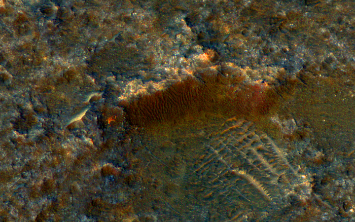
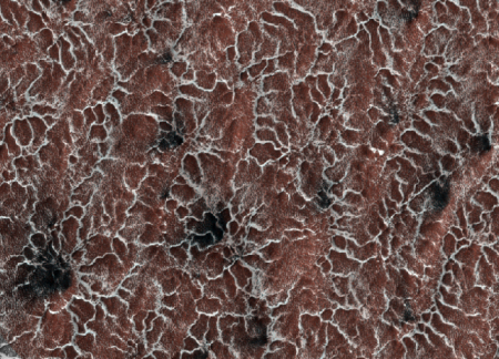
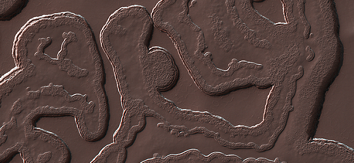
Cool image time! The image above, taken by Mars Reconnaissance Orbiter and cropped to show here, reveals some very strange terrain, pounded by numerous impacts. The full color-enhanced image, which only covers a small area of the much larger strip image, shows a rough surface that on Earth would definitely be labeled “badlands.”
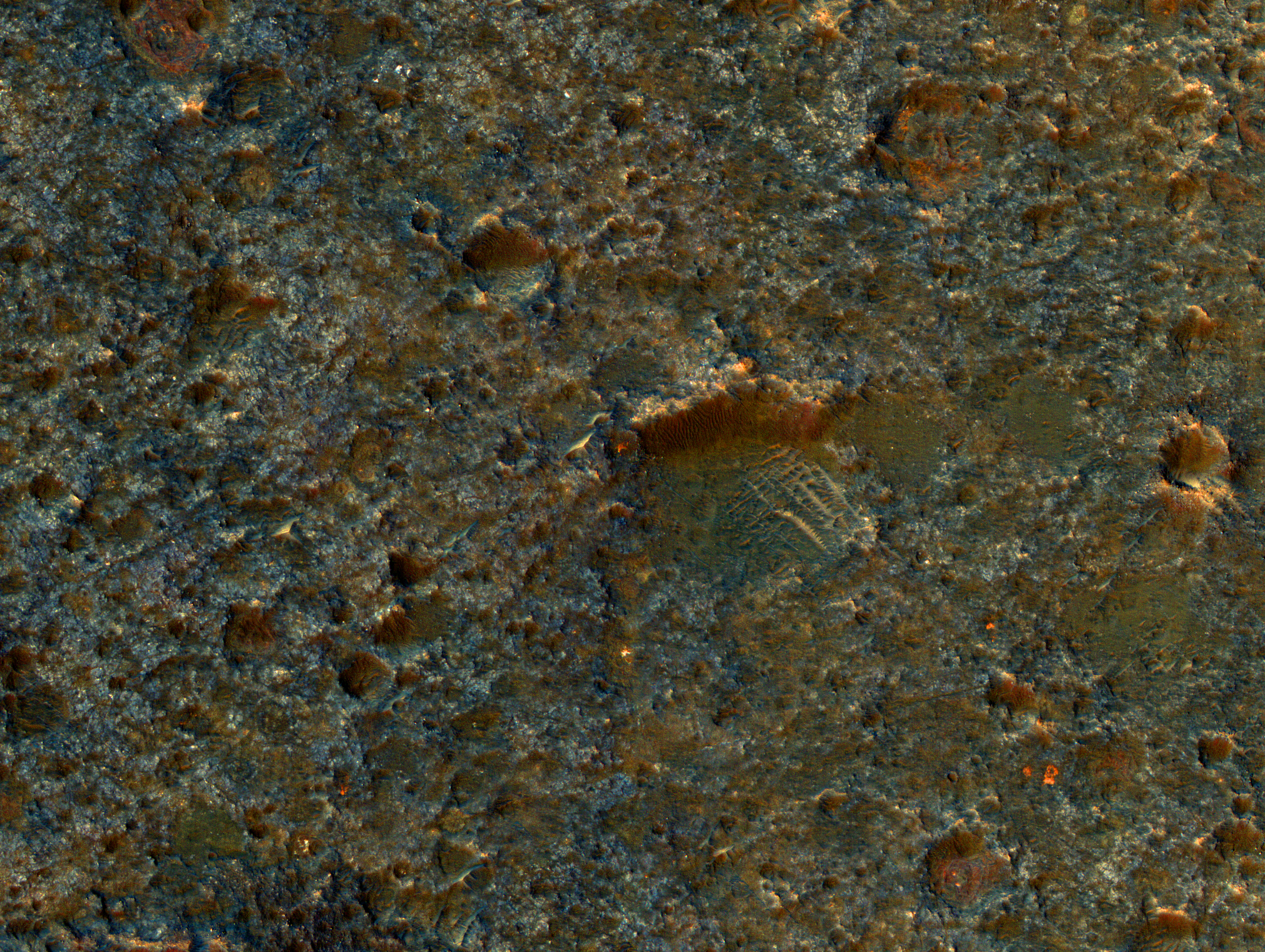
The very tiny cropped section above especially intrigued me because of the pronounced cliff that appears to be the north wall of a crater in which the east, west, and south walls have eroded away. The riverlet-like flows down the cliff-face are also intriguing, as are the cross-crossing features in the crater floor.
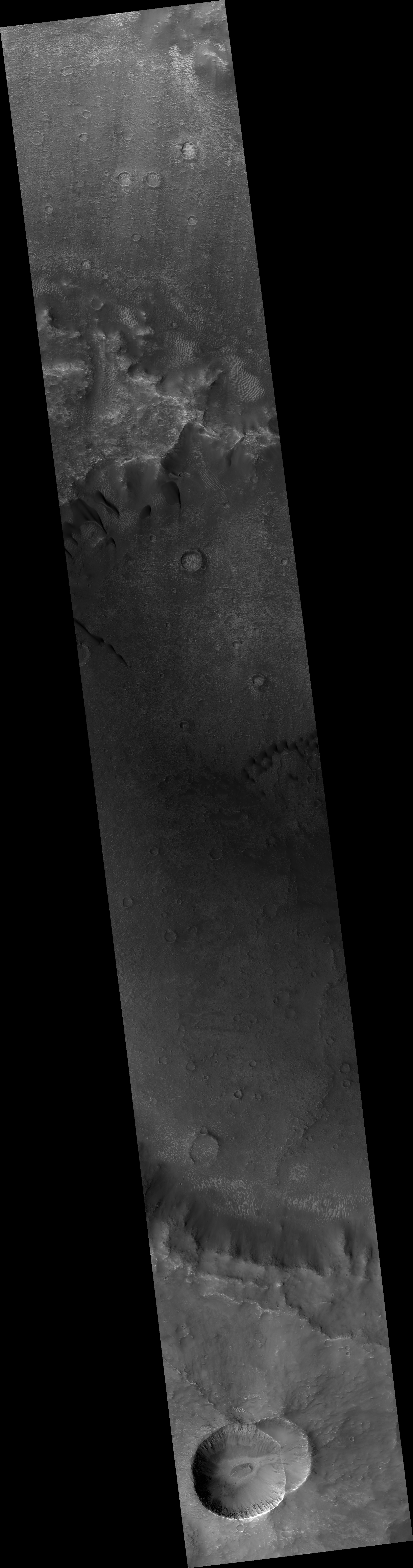
Make sure you look at the full images. Quite strange and fascinating. Even though the complete image strip isn’t color enhanced. it is filled with many interesting geological forms. I haven’t yet been able to find the spot shown by the color-enhanced section, but it is there nonetheless. I wonder if any of my readers can locate it.