
Mars rover update: January 16, 2018
Summary: Both rovers have moved little in the past month, Opportunity because it is in a good science location and because it must save energy during the winter and Curiosity because it is in a geological location so good the scientists appear to almost be going ga-ga over it.
Curiosity
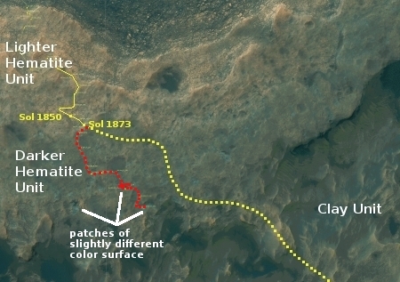
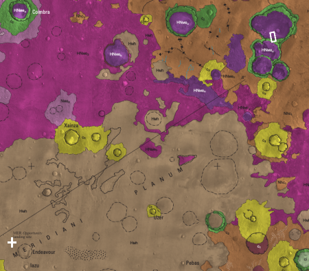
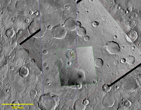
For the overall context of Curiosity’s travels, see Pinpointing Curiosity’s location in Gale Crater.
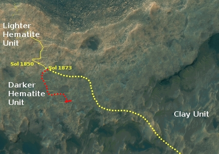
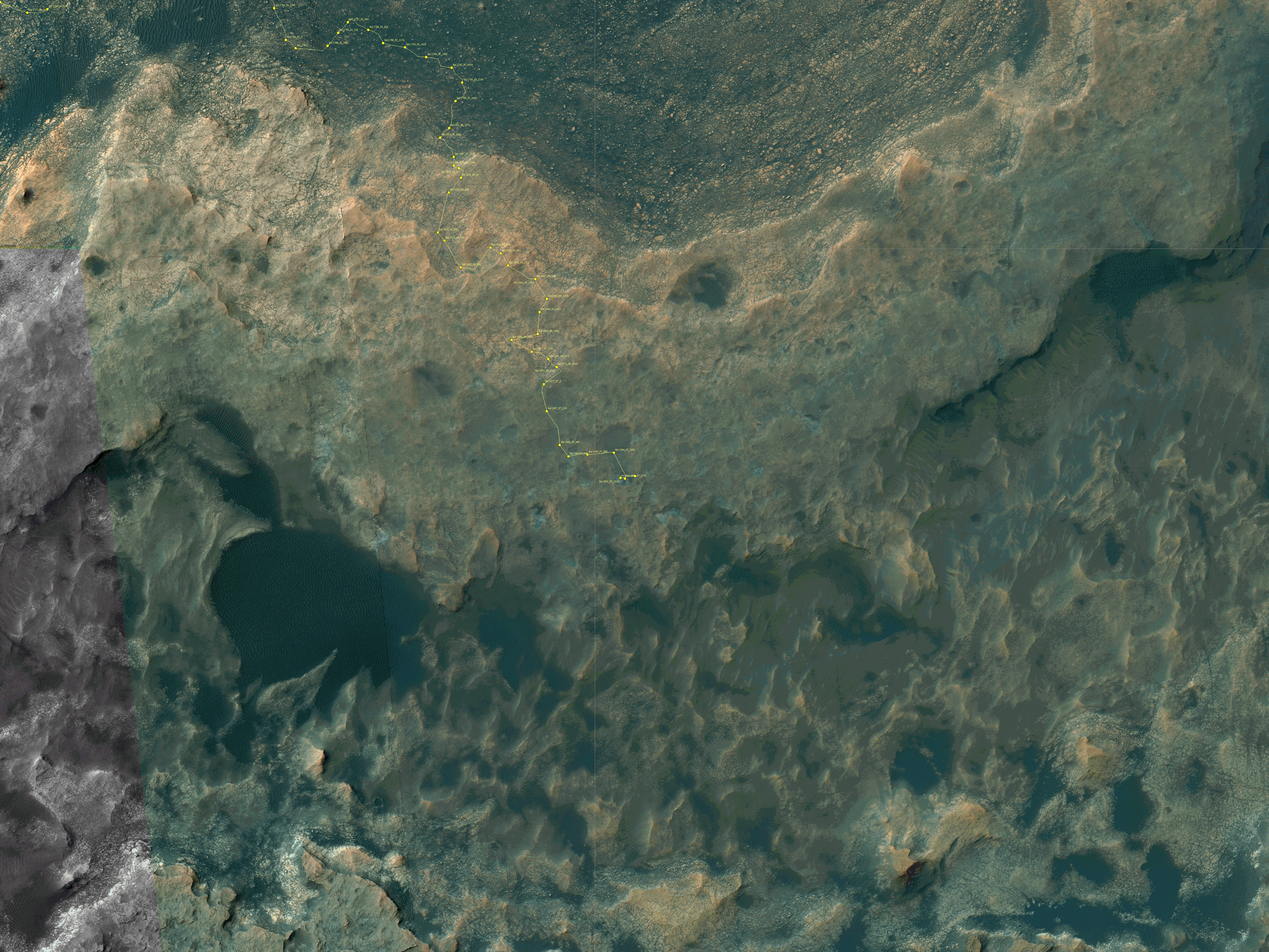
In the month since my December 18 update, Curiosity has continued to head south rather than east as originally planned (as indicated by the dotted yellow line in the traverse map to the right). Moreover, the rover has not moved very much, because the science team has decided that there is just too much significant geology in this area on Vera Rubin Ridge, also part of a geological unit they have dubbed the Hematite Unit.
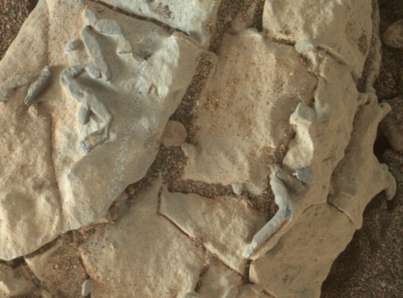
Right now the rover is located at an area they call “Region e,” one of the three patches I have also indicated on the image to the right. From the second update below:
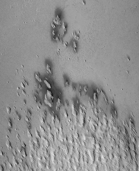
This location is a slight depression with exposed fractured bedrock that appears more “blue” from orbit than the surrounding region. In addition, the orbital evidence and observations from the ground suggest that this location is similar to “Region 10” that we visited just last week, which was shown to have some pretty spectacular small-scale features that were of particular interest to many on the science team. As a result, the team was very excited to reach “Region e” and begin our scientific investigation!
The last few updates on the Curiosity mission update page indicate the excitement the geologists have for this site:
» Read more