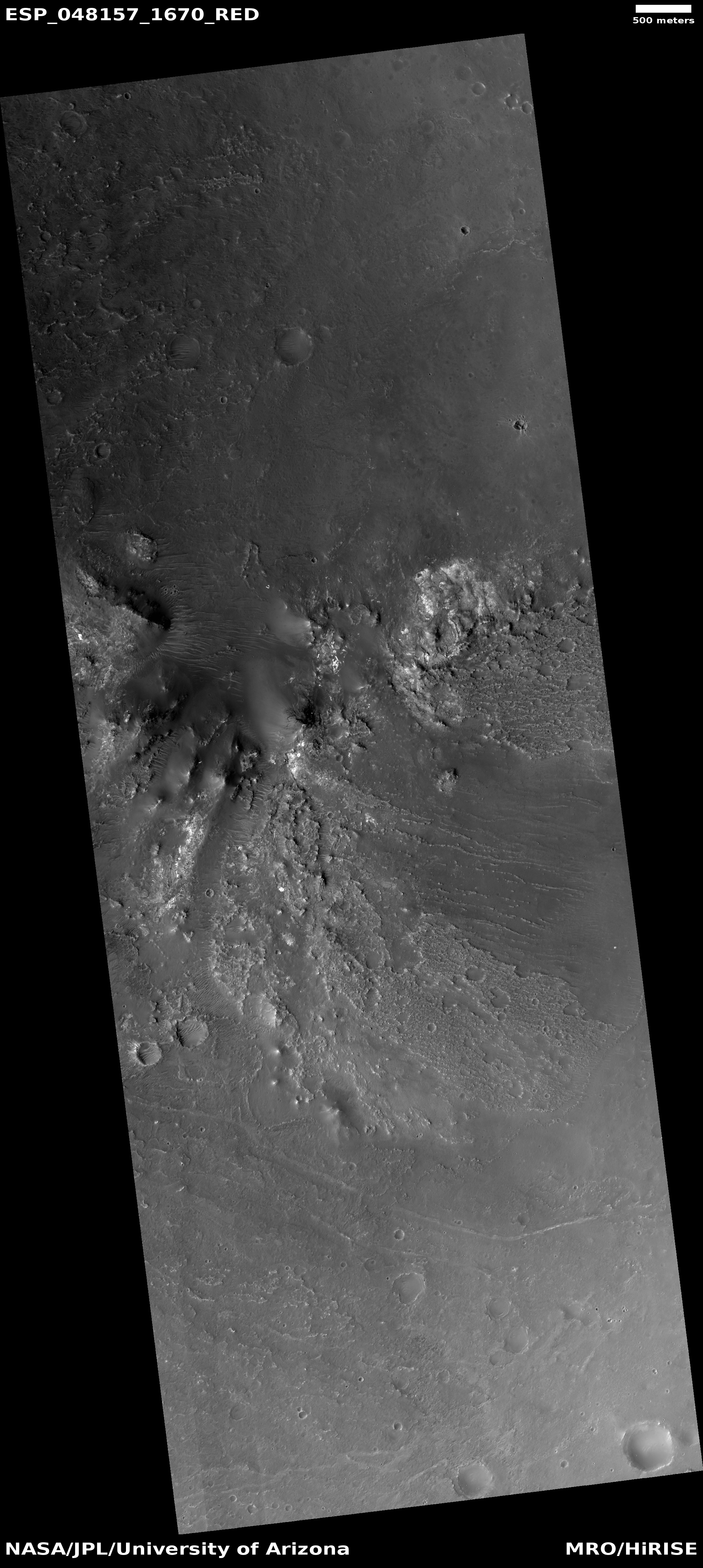
Big Martian gullies partly filled with glacial material

Overview map

Big Martian gullies partly filled with glacial material

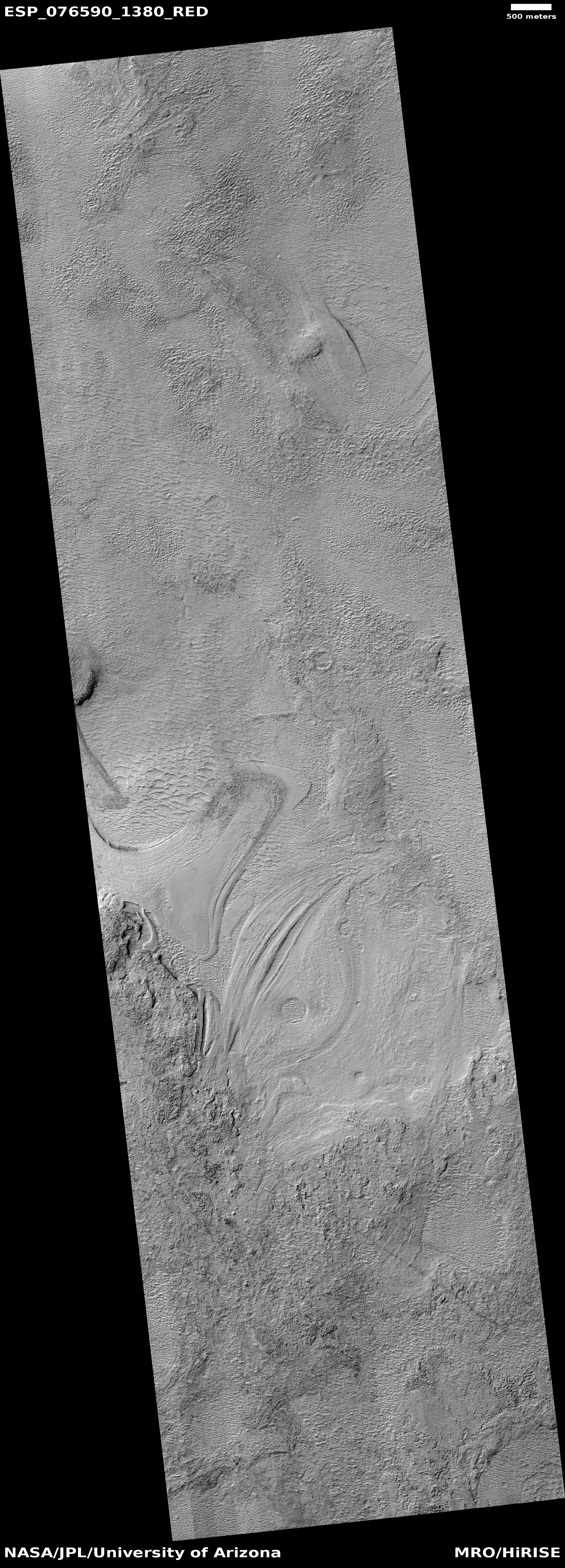
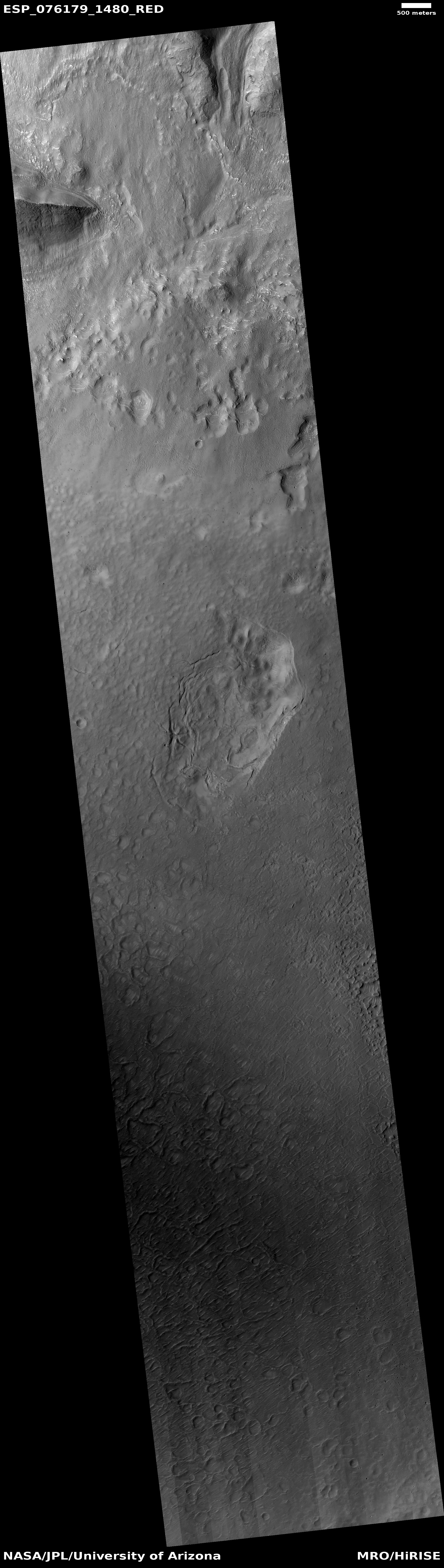
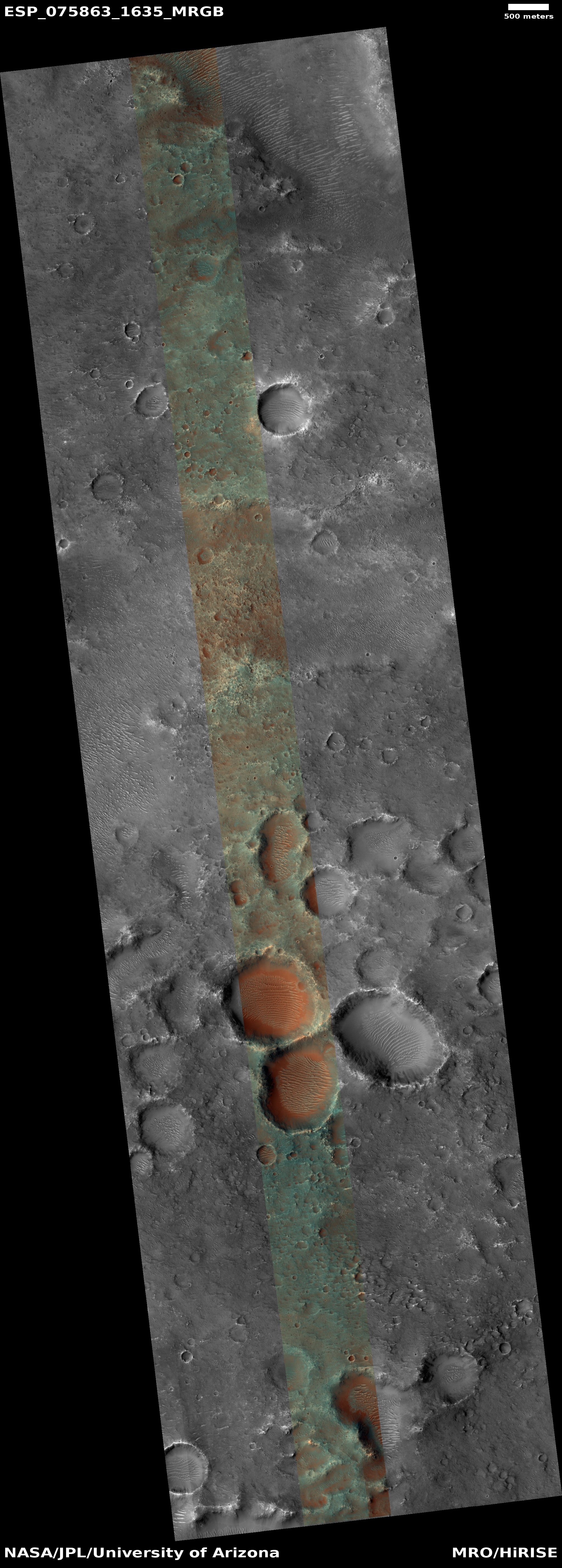
Cool image time! The picture to the right, cropped, reduced, and sharpened to post here, was taken on August 18, 2023 by the high resolution camera on Mars Reconnaissance Orbiter (MRO). It shows what the scientists dub as “large gullies with infilled alcoves.”

Gullies on Mars were one of the first discoveries by orbiters of small-scalle potential water-caused features on the Red Planet. The favorite explanation for their formation today involves the seasonal freeze-thaw cycle, combined with the deposition of ice and dry ice frost in the winter. When that ice and dry ice sublimates away in the spring it causes collapse and erosion, widening the gullies.

These gullies also exhibit evidence that underground and glacial ice might contribute as well. The material in the largest gullies looks like a mixture of glacial material and dust and debris. It could also be that there is ice impregnated in the ground, which can cause large collapses when it sublimates away.

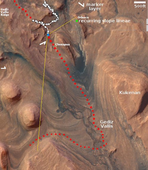
The white rectangle on the overview map and inset above marks the location of this picture, on the western rim of a 13-mile-wide unnamed crater inside the western portion of the 2,000-mile-long mid-latitude strip on Mars I dub glacier country, since every image from orbit shows evidence of glaciers.

This picture is no different, as the horizontal cracks at the base of the crater rim suggests the glacier that fills the crater floor is being pulled apart by gravity at its edges. The elevation drop from the top of the rim to the floor is about 3,200 feet, so any ice on that slope will definitely be stressed by gravity. Such cracks are therefore not surprising.

0 comments

Psyche takes its first pictures

The spacecraft Psyche — going to the metal asteroid Psyche — has successfully taken its first pictures, proving its camera and pointing system work as planned.

The pictures, taken on December 4, 2023 from about 16 million miles from Earth, are actually quite boring, merely showing a field of stars. However,

The imager instrument, which consists of a pair of identical cameras, captured a total of 68 images, all within a star field in the constellation Pisces. The imager team is using the data to verify proper commanding, telemetry analysis, and calibration of the images. …The imager takes pictures through multiple color filters, all of which were tested in these initial observations.

At this moment all looks good for Psyche’s eventual arrival at Psyche in 2029.

2 comments

Mars Reconnaissance Orbiter takes another look at the non-face on Mars

The non-face on Mars
Click for original image

In 2007, shortly after it began science operations in Mars orbit, the science team for Mars Reconnaissance Orbiter (MRO) pointed its high resolution camera at the so-called “Face on Mars”, taking a picture that confirmed (as had Mars Global Surveyor several years earlier) that this “face” was a non-face, simply a mesa whose features made it appear roughly facelike in low resolution imagery.

Now, more than sixteen years later, scientists have used MRO to take a new picture of the non-face mesa. That picture is to the right, cropped, reduced, and sharpened to post here. Compared to the 2007 photo the new photo has far better lighting conditions, revealing many details on the mesa’s eastern half that were mostly obscured by shadows previously.

In fact, these new details strongly suggest that the depression on the mesa’s eastern slopes harbors a decaying glacier. At least, that is what the features there resemble.
» Read more

11 comments

Lava-filled Martian crater

Lava-filled Martian crater
Click for original image.

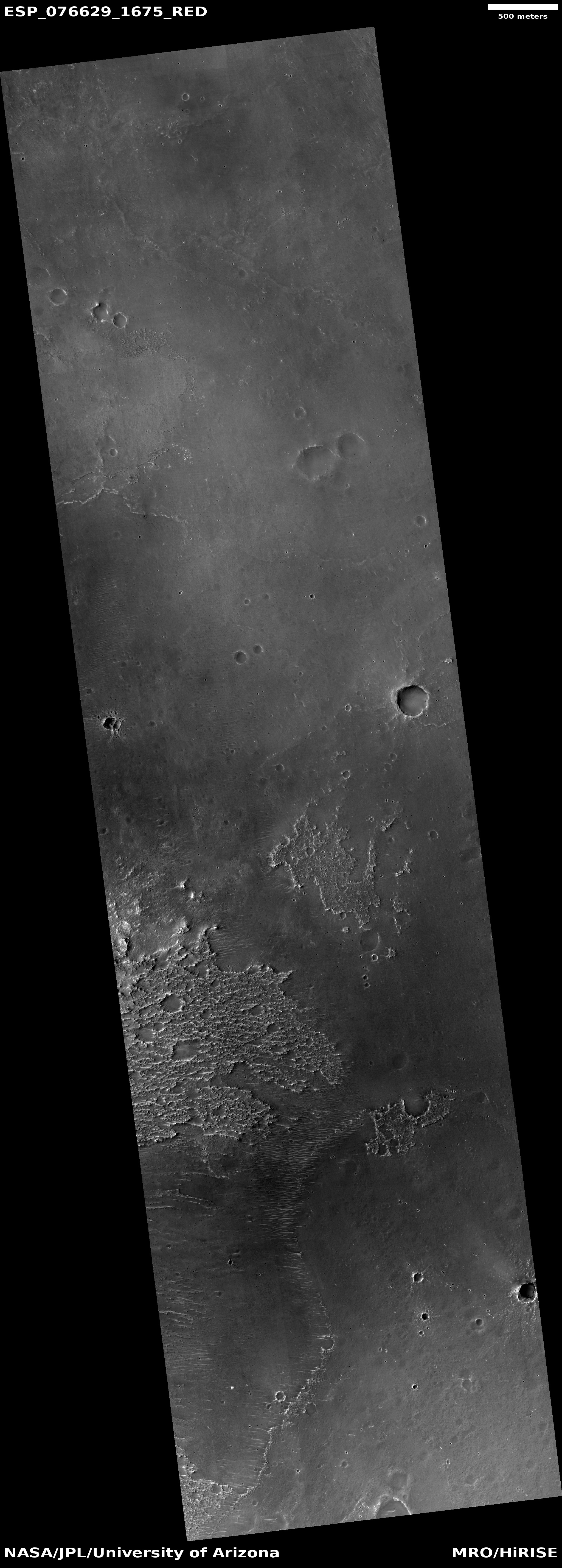
Cool image time! The picture to the right, rotated, cropped, reduced, and sharpened to post here, was taken on July 10, 2023 by the high resolution camera on Mars Reconnaissance Orbiter (MRO). It shows the northeast corner of an unnamed 7-mile-wide crater, located near the equator in the dry Martian tropics.

The MRO science team labels this “crater and lava fill”, suggesting that the crater interior is filled with lava material. The nature of that crater floor reinforces this conclusion, as it is relatively smooth and does not have rough aspects of glacial material found in craters in the mid-latitudes. Instead, it looks like a frozen lake of lava that has the peaks of mostly buried features poking up at various spots.

What makes this crater interesting however are the gullies on the northern interior rim. Gullies on Mars are normally thought to be associated with some water-frost-ice process, probably seasonal, where the thaw-freeze cycle causes small collapses and avalanches. Yet, this crater is almost at the equator, in a very dry region where no evidence of near-surface ice is found. Gullies here suggest the hypothesis for explaining the gullies on Mars have not quite solved the mystery.
» Read more

1 comment

Thick windblown ash in Mars’ largest mountain region

Thick windblown ash near Mars' largest volcano
Click for original picture.

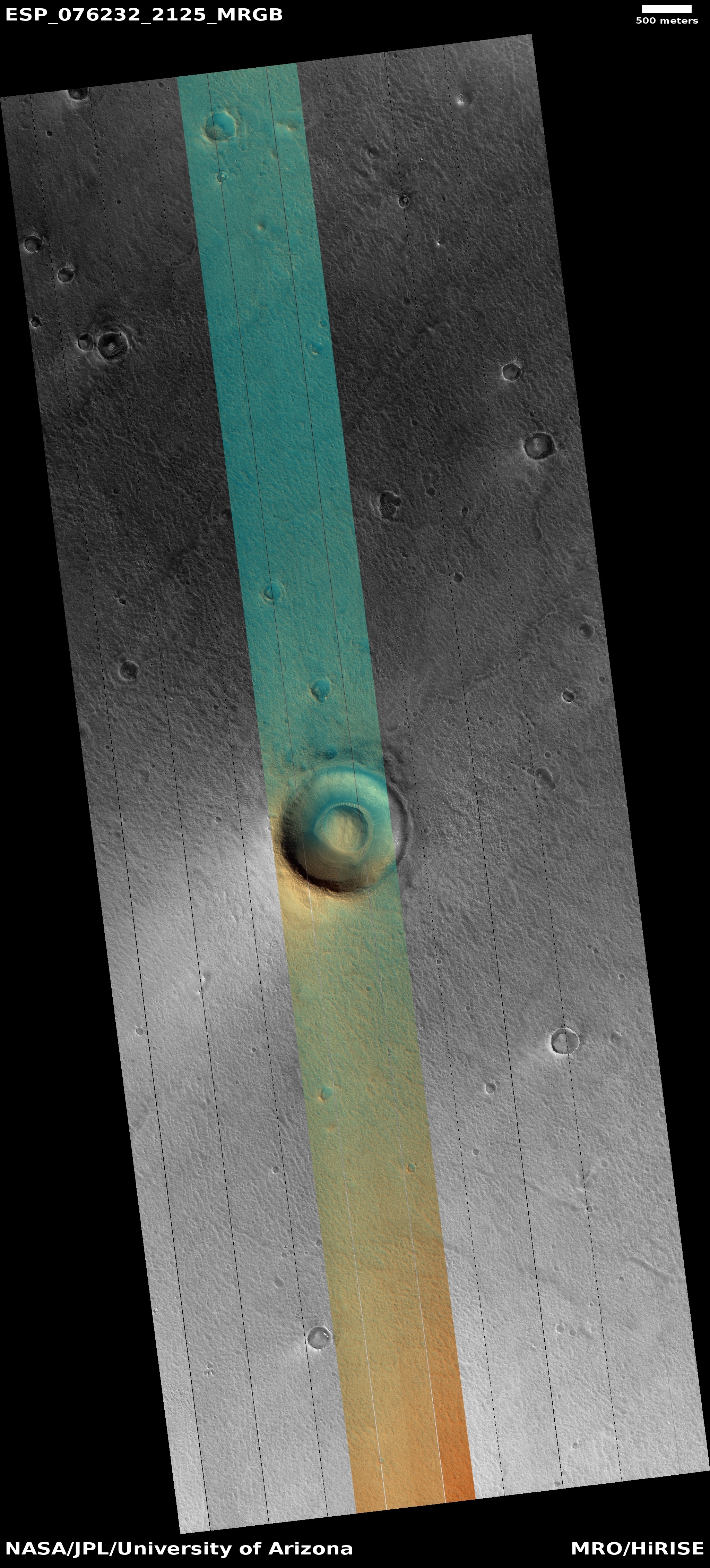
The cool image to the right, rotated, cropped, reduced, and sharpened to post here, was taken on September 1, 2023 by the high resolution camera on Mars Reconnaissance Orbiter (MRO), and shows what the scientists label as “Erosional Features on Olympus Mons.”

What is eroding? Based on the picture itself the first guess is volcanic ash, as these features strongly resemble the many features seen in the Medusae Fossae Formation, the largest volcanic ash field on Mars — about the size of the subcontinent of India.

Medusae however is many thousand miles away, and is not apparently related to any specific volcano. These features are instead directly linked to Olympus Mons, the largest known volcano in the solar system. However, much of the terrain for many hundreds of miles around Olympus is covered with flood lava, which was deposited and hardened quickly to form smooth featureless plains that have resisted much erosion over the eons. Here the terrain is clearly eroded, which suggests that if the material here is volcanic, it was laid down not by flood lava but by falling ash that got compressed but was easily friable and could be blown away by the winds of Mars’ thin atmosphere.
» Read more

0 comments

Close-up of Helene, one of Saturn’s many many moons

Helene, as seen by Cassini in 2011

Cool image time! Though the Saturn orbiter Cassini is long gone, having been sent into Saturn’s atmosphere to burn up in 2017, its image archive of magnificent pictures is still available to peruse. To encourage others to do so, NASA today issued a series of press releases, listing the spacecraft’s top ten pictures from 2011, 2012, 2013, 2014, and 2015.

The picture to the right, cropped, reduced, and sharpened to post here, comes from the 2011 collection and was taken on June 18, 2011. It shows a close-up of 21-mile-wide Helene, one of Saturn’s many many moons and only discovered in 1980. Back in 2010 I featured another Cassini image of Helene, but that picture did not reveal the small surface features seen in the photo to the right.

The light and dark streaks probably indicate dust flowing downhill on the surface. Though the gravity of this object is tiny, it will be enough for dust to act like almost like a liquid, flowing down grade and then pooling in the central pond at the lowest point near the center of the picture. That process is so much like liquid flowing that it appears to have even eroded gullies on slopes near the top and bottom of the picture.

Side note: NASA’s “Science Editorial Team” also issued a press release today that falsely and ignorantly claimed these releases were “to celebrate 10 years since arriving at Saurn,” implying that Cassini arrived in 2013 and is still functioning.

The problem is that Cassini arrived in orbit around Saturn in 2004 and as I noted above ended its mission in 2017. It thus appears that the NASA Science Editorial Team is unable to do even one five-second web search to find out what really happened.

Just another data point indicating the dark age we now live in.

3 comments

Mars’ giant sinkholes

The floor of one of Mars' giant sinkholes

Cool image time! The picture to the right, rotated, cropped, reduced, and sharpened to post here, was taken on June 27, 2023 by the high resolution camera on Mars Reconnaissance Orbiter (MRO). It shows a small section of the floor and northern slope of Hebes Chasma, one of the many very large enclosed pits that can be found to the north of Valles Marineris, the largest canyon in the solar system. Though Hebes seems small next to the 1,500 mile long Valles Marineris, it still is 200 miles long by 80 miles wide, and could easily fit a half dozen Grand Canyons within it.

For example, the Grand Canyon is from 4,420 to 5,400 feet deep, hiking down from the south and north rim lodges respectively, which sit about ten miles apart. On this picture, the peak on the right sits about 5,300 feet above and only about 3.8 miles from the low spot on the bottom left, which means this one small picture encapsulates the Grand Canyon. And yet, the northern rim of Hebes sits another 21,000 feet higher and twelve miles away. And the entire chasma itself extends 50 miles to the west, 150 miles to the east, and 50 miles to the south.
» Read more

0 comments

Striped terrain on Mars

Overview map

Striped terrain on Mars
Click for original image.

Today’s cool image will be a mystery with the answer below the fold. Before you look at the answer, however, you must try to come up with your own explanation for the picture to the right, cropped to post here, that was taken on September 25, 2018 by the high resolution camera on Mars Reconnaissance Orbiter (MRO).

What we see in this picture is what looks like a striped terrain, alternating bands of light and dark. What caused the bands? Why the different colors?

The overview map above provides some clues. The white rectangle inside Juventae Chasma near the map’s center marks the area within which this picture was taken, though the picture to the right covers only about a pixel inside that rectangle.

Can you guess what these stripes reveal, from this little information? For this quiz to work you must make a guess, but be prepared to be wrong and quickly reassess your conclusions. Such is the real scientific method, so rarely taught now in schools.
» Read more

2 comments

Martian ice sheets sublimating like peeling paint?

Overview map

Martian ice sheets resembling paint peeling
Click for original image.

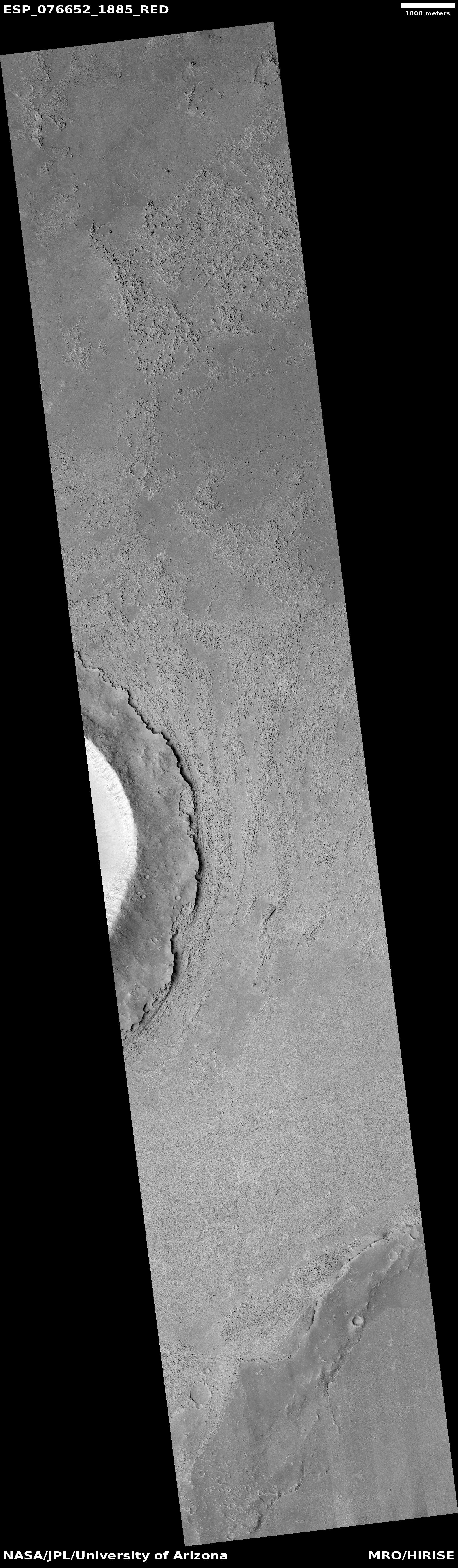
Cool image time! The picture to the right, rotated, cropped, reduced, and sharpened to post here, was taken on September 19, 2023 by the high resolution camera on Mars Reconnaissance Orbiter (MRO).

The features are described as “ribbed terrain” in the label. To my eye they more resemble flakes of peeling paint, most especially the mesas in the lower left. On the full image there are many more examples that resemble old paint peels, barely attached to the wall.

The white dot on the overview map above marks the location, deep inside the 2,000-mile-long strip in the northern mid-latitudes I dub glacier country, because everything seems covered by glacial features. This location is at 42 degrees north latitude, where plenty of near-surface ice features are found on Mars.

At first glance it looks like the top “paint-peel” layers to the south have been slowly sublimating away, leaving behind the smooth plain to the north. The problem is that this smooth area in the full image actually appears to be a glacial ice sheet of its own, filling all the low areas between mesas.

In other words, we are probably looking at layers and layers of ice sheets, each created during a different Martian climate cycle, caused by the wide swings of the planet’s rotational tilt, or obliquity.

The location is within Arabia Terra, the largest transitional zone on Mars between the northern lowland plains and the southern cratered highlands. Thus it sits above the glaciers that fill the lower regions of chaos to the north. What we have here is terrain that will eventually become chaos terrain, as the narrow faults and cracks are slowly widened into canyons by the cycles of glacial activity.

0 comments

Ancient volcanic vent on Mars

Volcanic vent on Mars
Click for original image.

Cool image time! The picture to the right, rotated, cropped, reduced, and sharpened to post here, was taken on May 28, 2023 by the high resolution camera on Mars Reconnaissance Orbiter (MRO).

The picture label describes it as a “Low Shield Vent and Pit Northeast of Arsia Mons,” suggesting these depressions are volcanic in nature. We know the pit in the lower left is not an impact crater because it has no raised rim of ejecta. Instead, it looks like a collapsed sinkhole, formed when the ceiling above a void could no longer support its weight. Similar, the trench to the northeast is aligned with the downhill grade to the northeast, with its features suggesting a vent draining in that direction.

The ample dust inside the trench and pit suggest that it has been a very long time since this vent was active. Research suggests volcanic activity last occurred in this region from 10 to 300 million years ago, so that gives us a rough estimate of this vent’s age. Since then any dust that is blown into it will tend to become trapped there.
» Read more

0 comments

Webb: Needles scattered near the center of the Milky Way

Needles in space
Click for original image.

Scientists today released a new false-color infrared image taken by the Webb Space Telescope of a region about 300 light years from the center of the Milky Way, dubbed Sagittarius-C. That picture is to the right, cropped, reduced and sharpened to post here. The blue or cyan regions are ionized hydrogen clouds, and with this image were revealed to be much more extensive than expected. The orange blob near the center is a densely packed cluster of protostars, the starlight blocked by the cloud of material.

The most interesting feature however are the needle-like structures within that ionized hydrogen, oriented in all directions in a manner that looks completely random. Though such needles have been seen previously, the data here is far more detailed, and might eventually help astronomers figure out what the heck these features are and what caused them.

5 comments

The southernmost extent of Mars’ youngest lava flood event

The southernmost edge of Mars' youngest lava event
Click for original image.

Cool image time! The picture to the right, rotated, cropped, reduced, and sharpened to post here, was taken on August 24, 2023 by the high resolution camera on Mars Reconnaissance Orbiter (MRO).

Labeled “flow margin in Elysium Planitia,” it shows the very edge of what scientists believe was the most recent large lava event on Mars, dubbed the Athabasca Valles, that is thought to have occurred only 600 million years ago. In only a matter of weeks the fast flowing lava covered a region about the size of Great Britain. What we see here is the southernmost edge of that flow, with the smooth terrain on the west an older lava flood plain, covered by the new flood lava from Athabasca on the east.

The polygon cracks likely indicate cracks that formed during the hardening process (like the polygon cracks in drying mud). Hot lava then pushed up from below to form the ridges. It is also possible the ridges are what scientists call “wrinkle ridges,” formed when material shrinks during the drying process.
» Read more

1 comment
1 50 51 52 53 54 89