
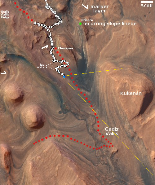
Flow channels on Mars

Click for original image.
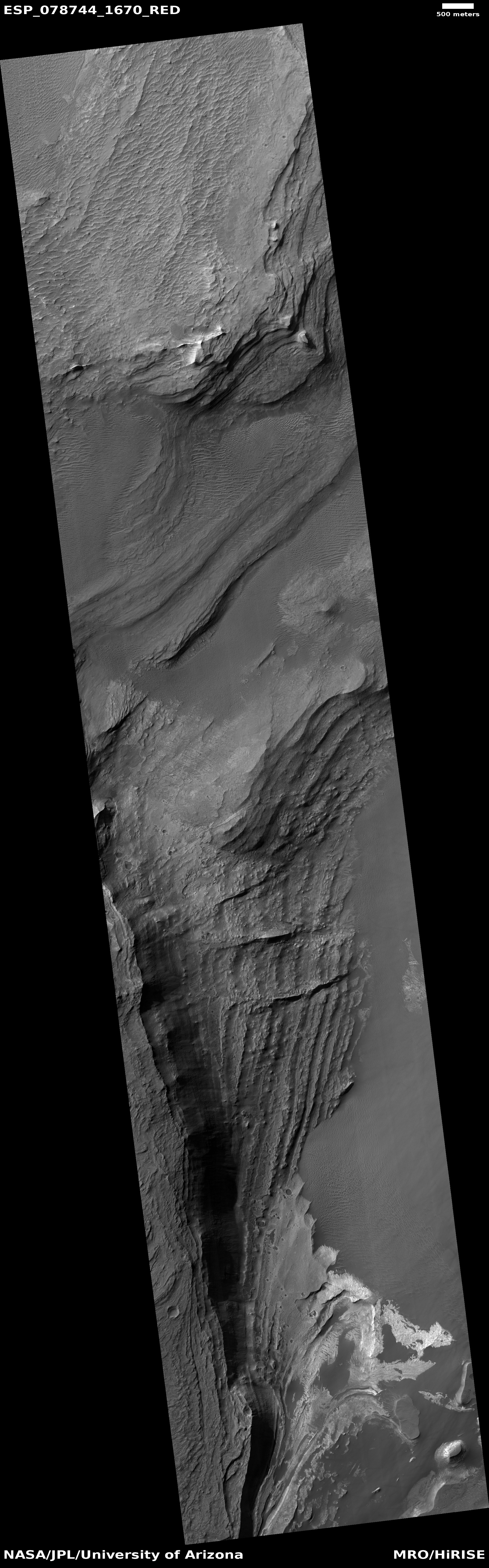
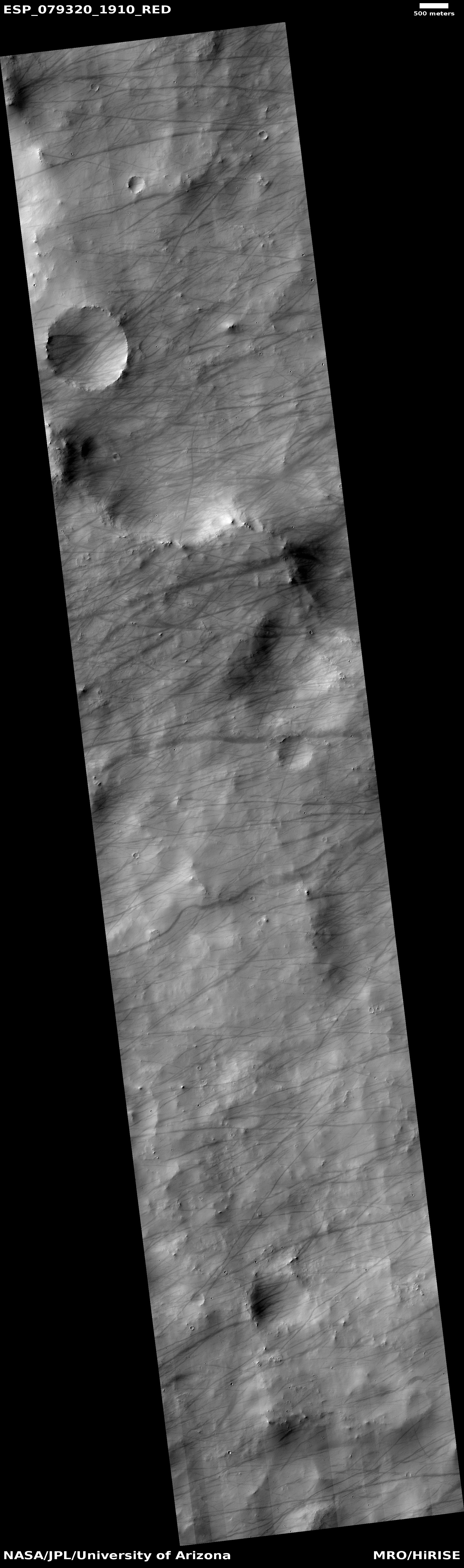
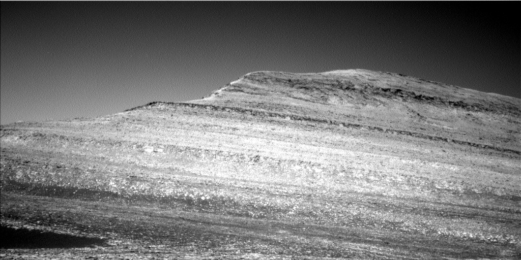
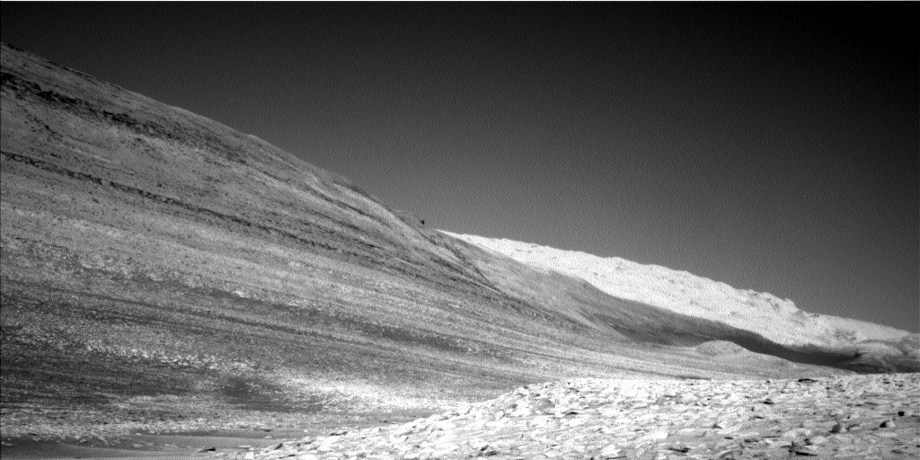
Cool image time! The picture to the right, rotated, cropped, reduced, and sharpened to post here, was taken on May 13, 2023 by the high resolution camera on Mars Reconnaissance Orbiter (MRO). It shows what the scientists call a “channel and depression”, though to my eye everything looks like flow channels, descending to the east.
The drop from the narrow northern channel to wider southern channel is about 200 feet, with the small crater on the left sitting about halfway between. To our Earthbound eyes, something clearly flowed downhill from that northern channel into the wider channel. What we don’t know now is what the material was that did the flowing?
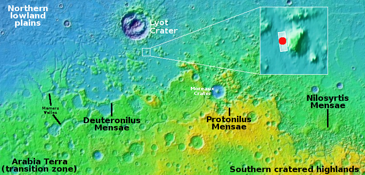
Was it liquid water? Glaciers? The overview map below provides some context, though it doesn’t actually provide an answer.
» Read more


