
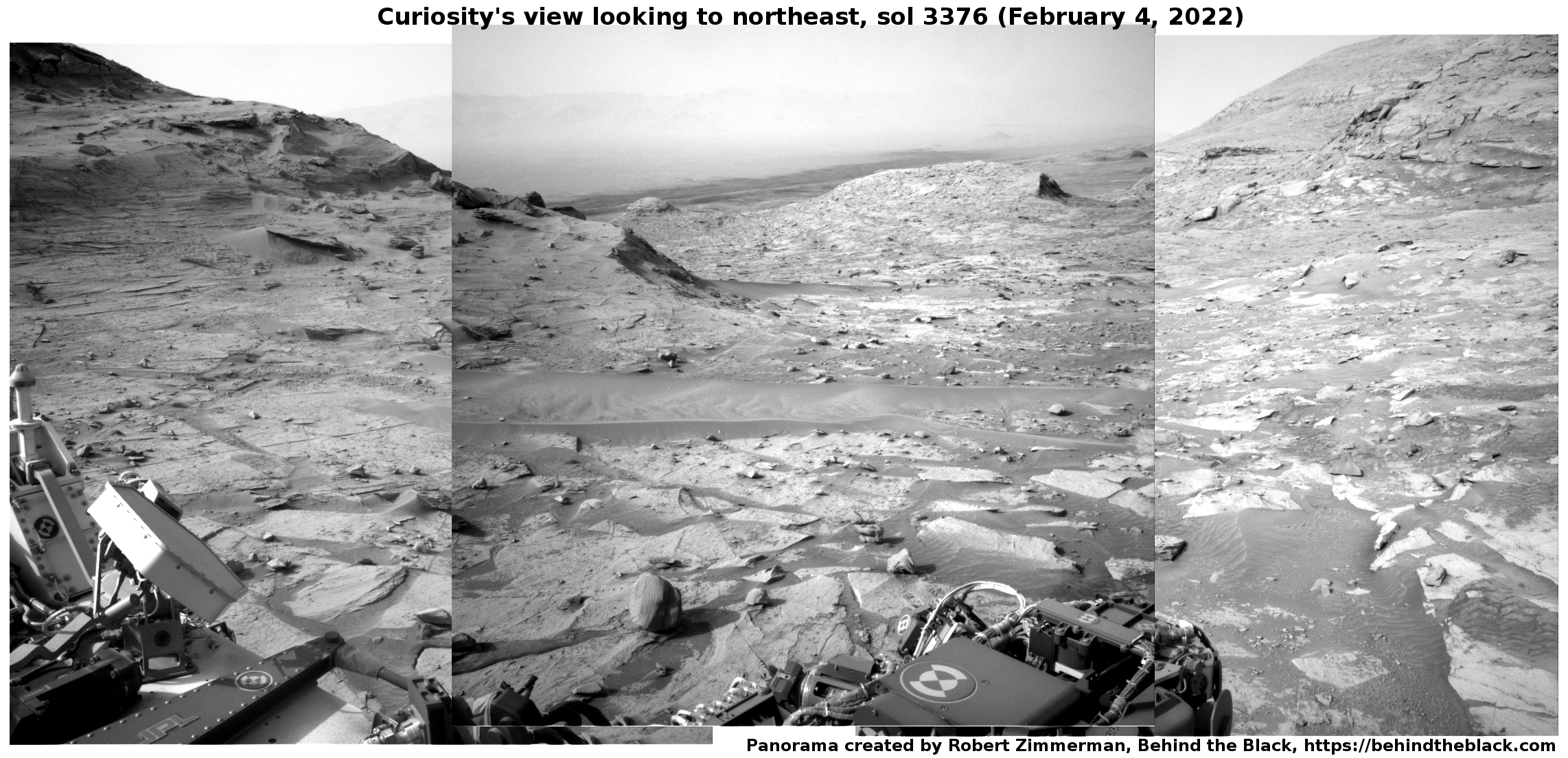
Lockheed Martin wins NASA contract to build Mars rocket
Capitalism in space: NASA yesterday awarded Lockheed Martin a $194 million contract to build the Mars rocket that will lift Perseverance’s samples into orbit for return to Earth.
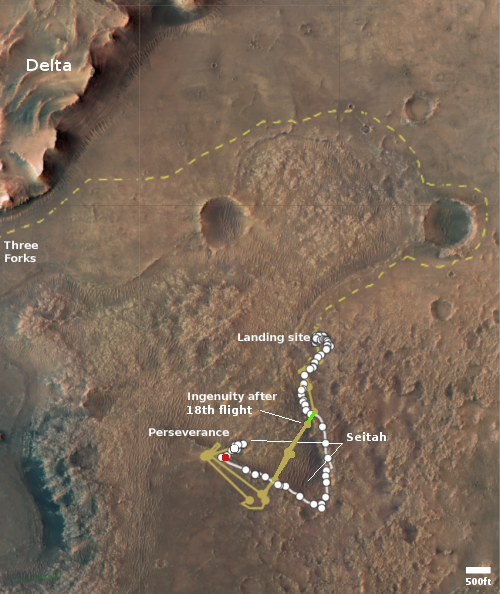
Set to become the first rocket fired off another planet, the MAV [Mars Ascent Vehicle] is a crucial part of a campaign to retrieve samples collected by NASA’s Perseverance rover and deliver them to Earth for advanced study. NASA’s Sample Retrieval Lander, another important part of the campaign, would carry the MAV to Mars’ surface, landing near or in Jezero Crater to gather the samples cached by Perseverance. The samples would be returned to the lander, which would serve as the launch platform for the MAV. With the sample container secured, the MAV would then launch.
Once it reaches Mars orbit, the container would be captured by an ESA (European Space Agency) Earth Return Orbiter spacecraft outfitted with NASA’s Capture, Containment, and Return System payload. The spacecraft would bring the samples to Earth safely and securely in the early- to mid-2030s.
According to this project’s webpage, the European Space Agency (ESA) is building that they call a “fetch rover” which will be deployed from the rover to get the samples and bring them back to the MAV.
There are a lot of uncertainties in this scenario. It has been decades since Lockheed Martin built rockets. ESA has not yet built an operational Mars rover. It is also unclear who will build NASA’s lander and capture/return payload. Thus, do not expect this mission to launch “as early as ’26,” as the press release says. I predict it will launch at least five, maybe ever ten years, later.
Capitalism in space: NASA yesterday awarded Lockheed Martin a $194 million contract to build the Mars rocket that will lift Perseverance’s samples into orbit for return to Earth.
Set to become the first rocket fired off another planet, the MAV [Mars Ascent Vehicle] is a crucial part of a campaign to retrieve samples collected by NASA’s Perseverance rover and deliver them to Earth for advanced study. NASA’s Sample Retrieval Lander, another important part of the campaign, would carry the MAV to Mars’ surface, landing near or in Jezero Crater to gather the samples cached by Perseverance. The samples would be returned to the lander, which would serve as the launch platform for the MAV. With the sample container secured, the MAV would then launch.
Once it reaches Mars orbit, the container would be captured by an ESA (European Space Agency) Earth Return Orbiter spacecraft outfitted with NASA’s Capture, Containment, and Return System payload. The spacecraft would bring the samples to Earth safely and securely in the early- to mid-2030s.
According to this project’s webpage, the European Space Agency (ESA) is building that they call a “fetch rover” which will be deployed from the rover to get the samples and bring them back to the MAV.
There are a lot of uncertainties in this scenario. It has been decades since Lockheed Martin built rockets. ESA has not yet built an operational Mars rover. It is also unclear who will build NASA’s lander and capture/return payload. Thus, do not expect this mission to launch “as early as ’26,” as the press release says. I predict it will launch at least five, maybe ever ten years, later.


