
Cryptic Terrain on Mars
Click for full image.
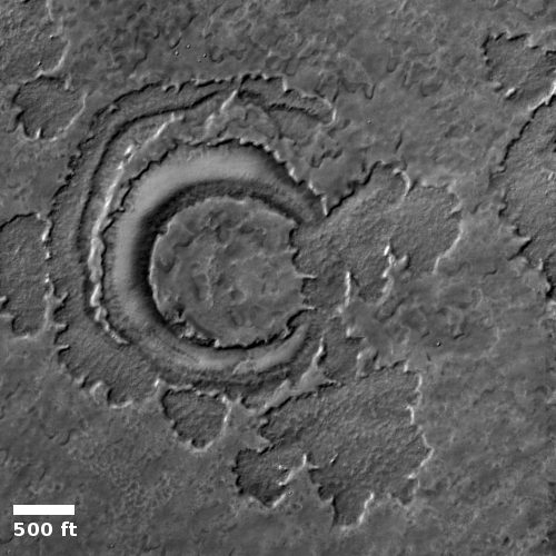
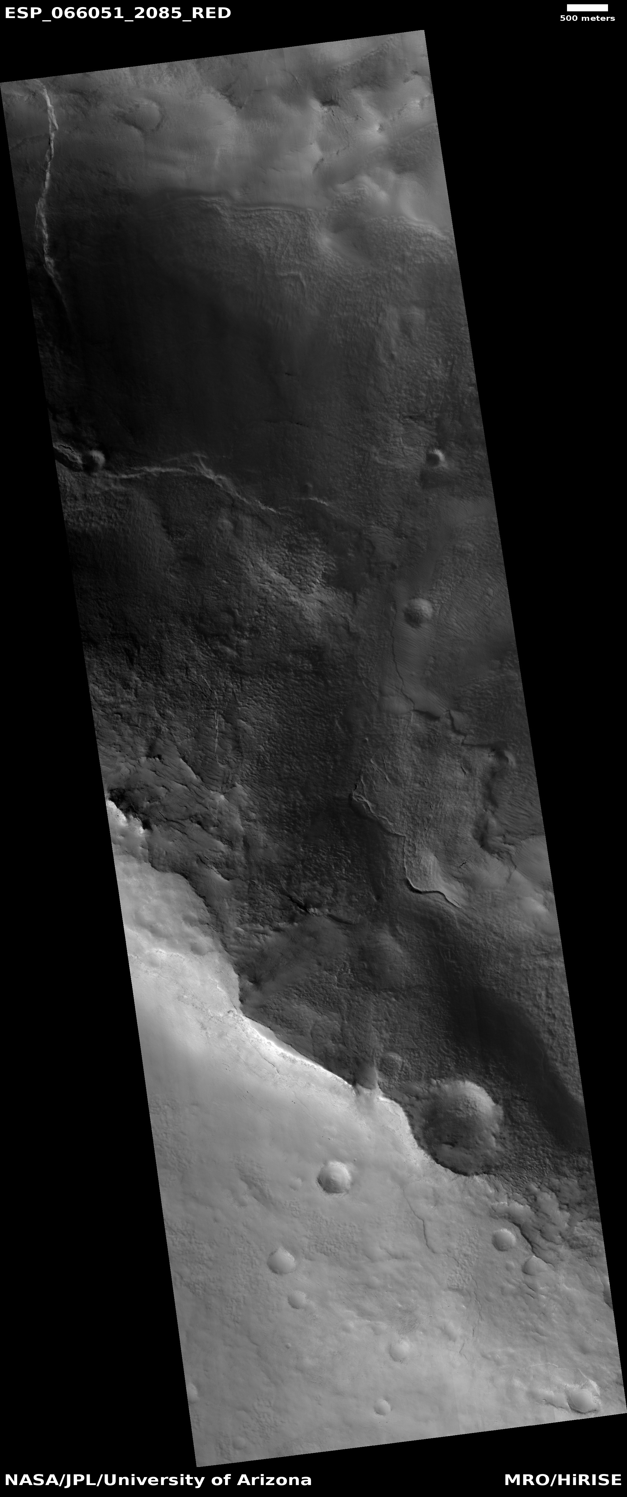
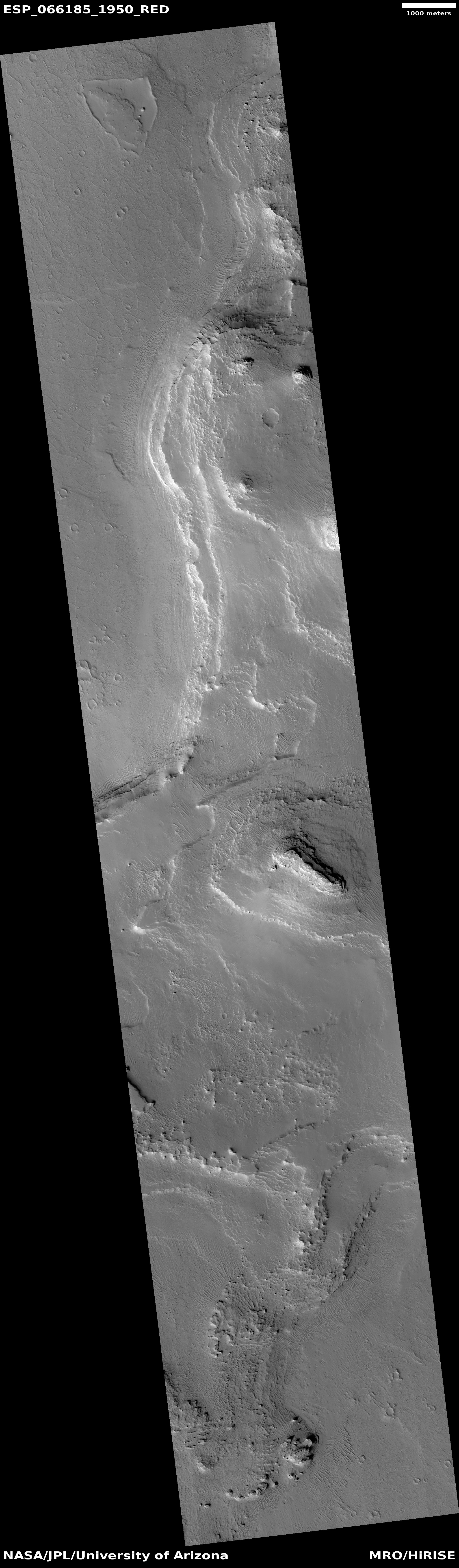
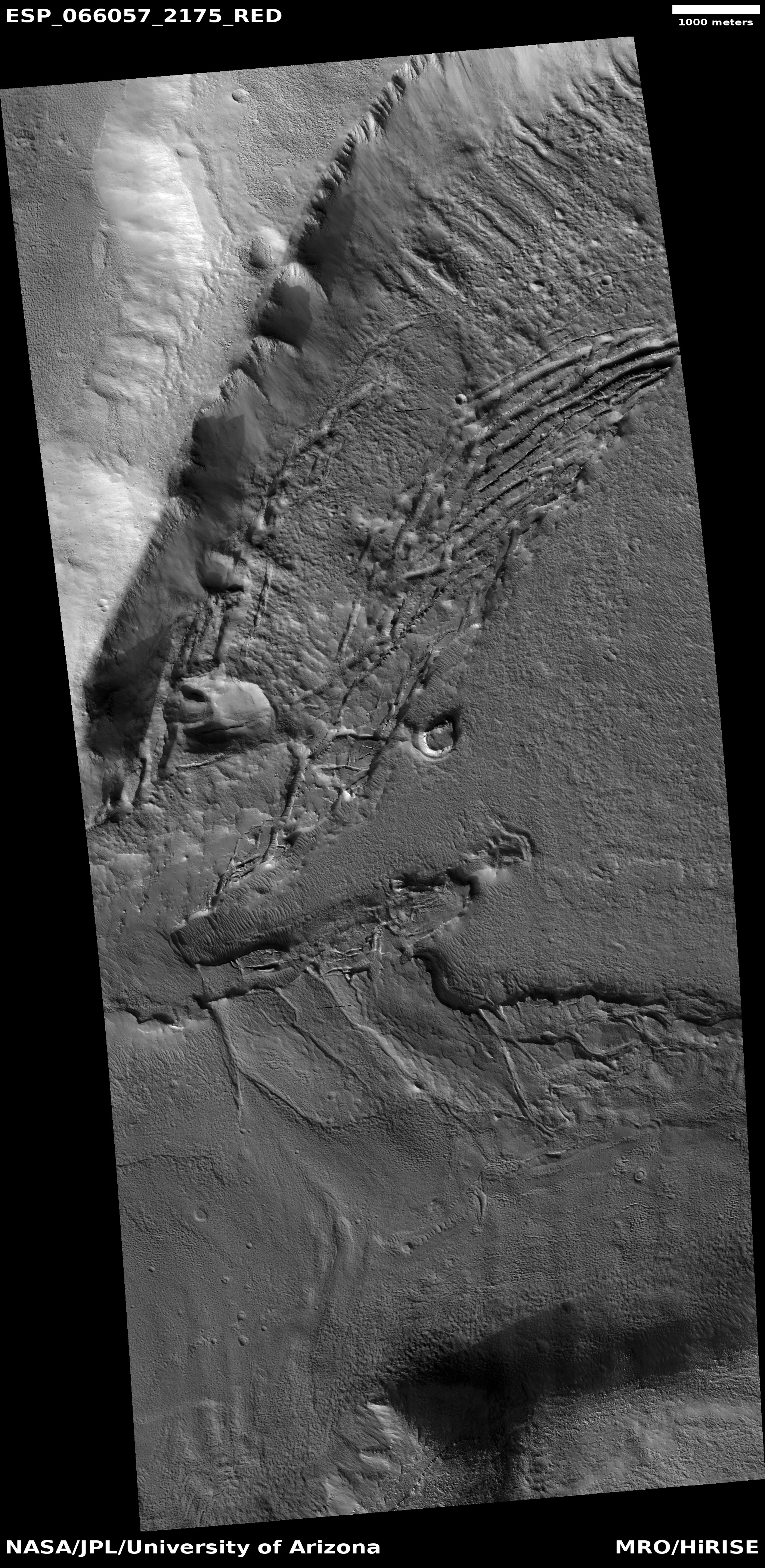
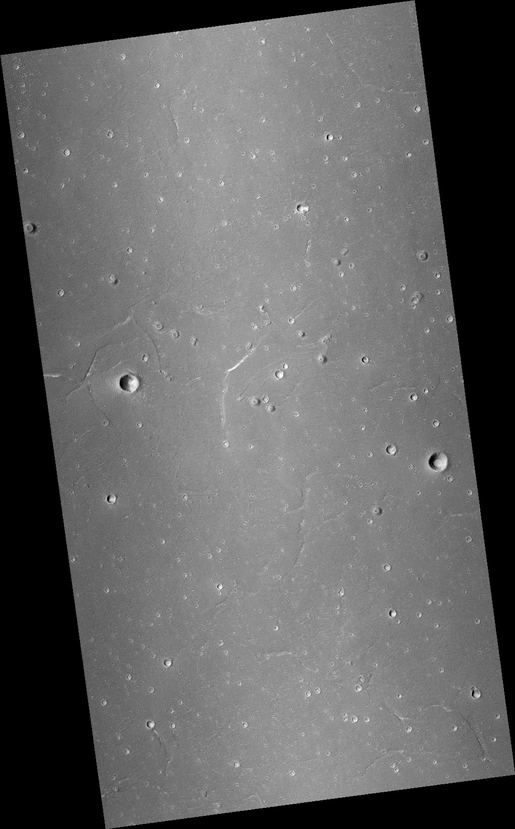
Cool image time! The photo to the right, rotated and cropped to post here, was taken on September 27, 2020 by the high resolution camera on Mars Reconnaissance Orbiter (MRO). It shows what is likely a crater that is partly buried by ice and dust and sand near or on the edge of Mars’s south polar ice cap.
It also shows an example of what planetary scientists have dubbed “cryptic terrain,” found generally on the margins of that ice cap. In this case, the location is on a plateau adjacent to the ice cap dubbed Promethei Planum. Despite a lot of searching, I could not locate any research papers describing Promethei Planum, though data outlined in one Mars Express press release from 2008 suggested it was part of the polar ice cap more than two miles thick that is covered by a thin mantle of dry ice each winter.
The strange curlicue cliffs and plateaus seen here are thought to form as part of the arrival and then sublimation away of that seasonal dry ice mantle, but how that process exactly works to create these particular geological features remains I think a mystery. North is to the top. The general grade is also downhill away from the icecap to the north.
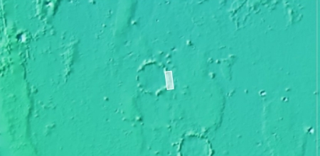
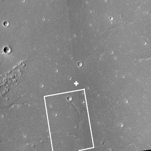
Moreover, the overview map below, with the location of this image indicated by the blue cross, illustrates more mysteries.
» Read more

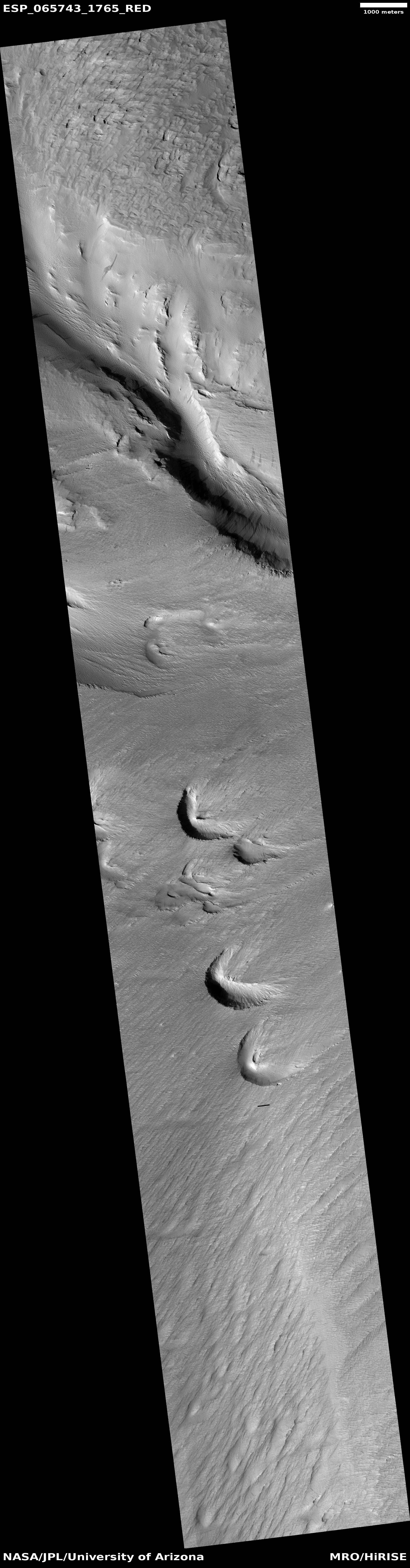
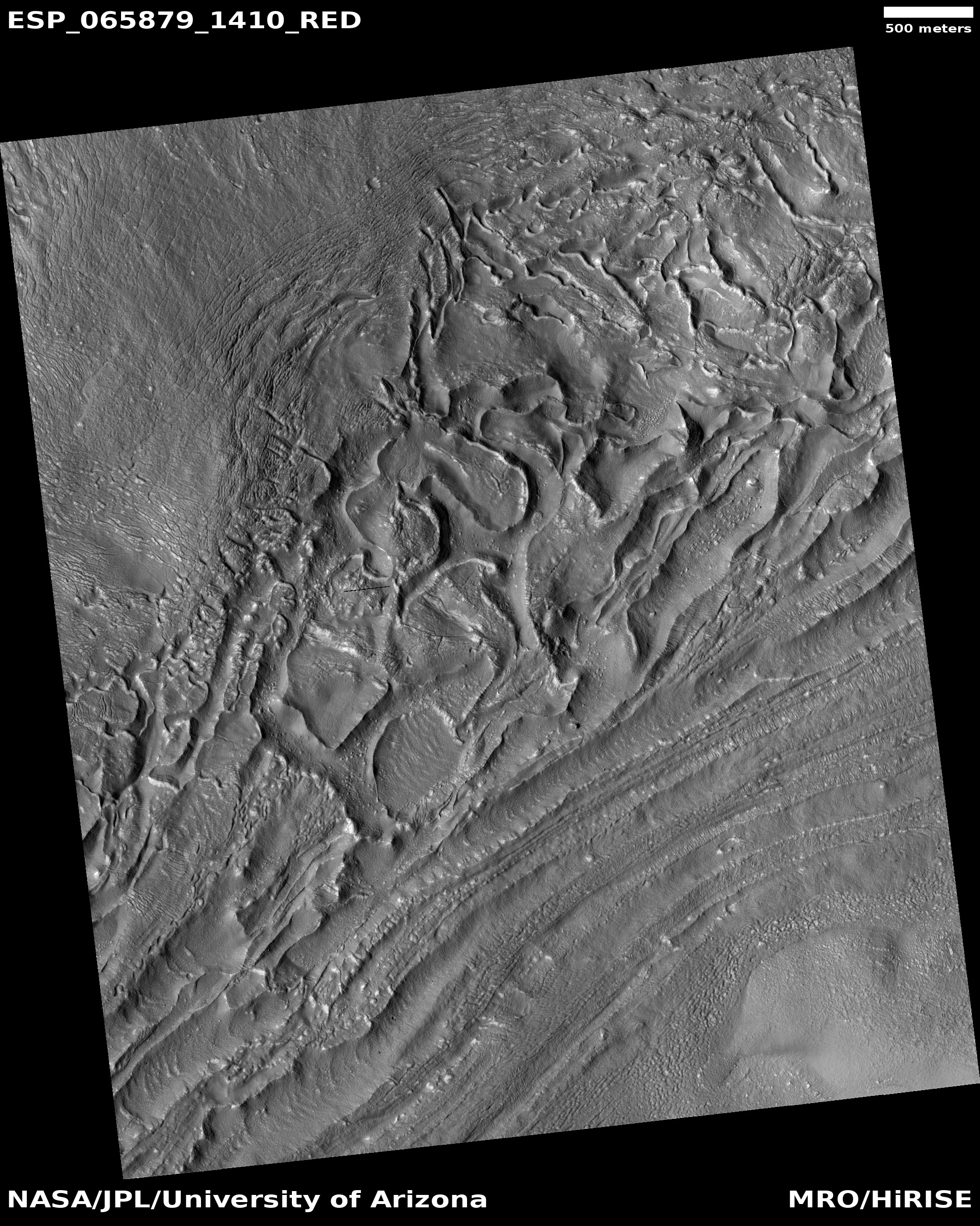
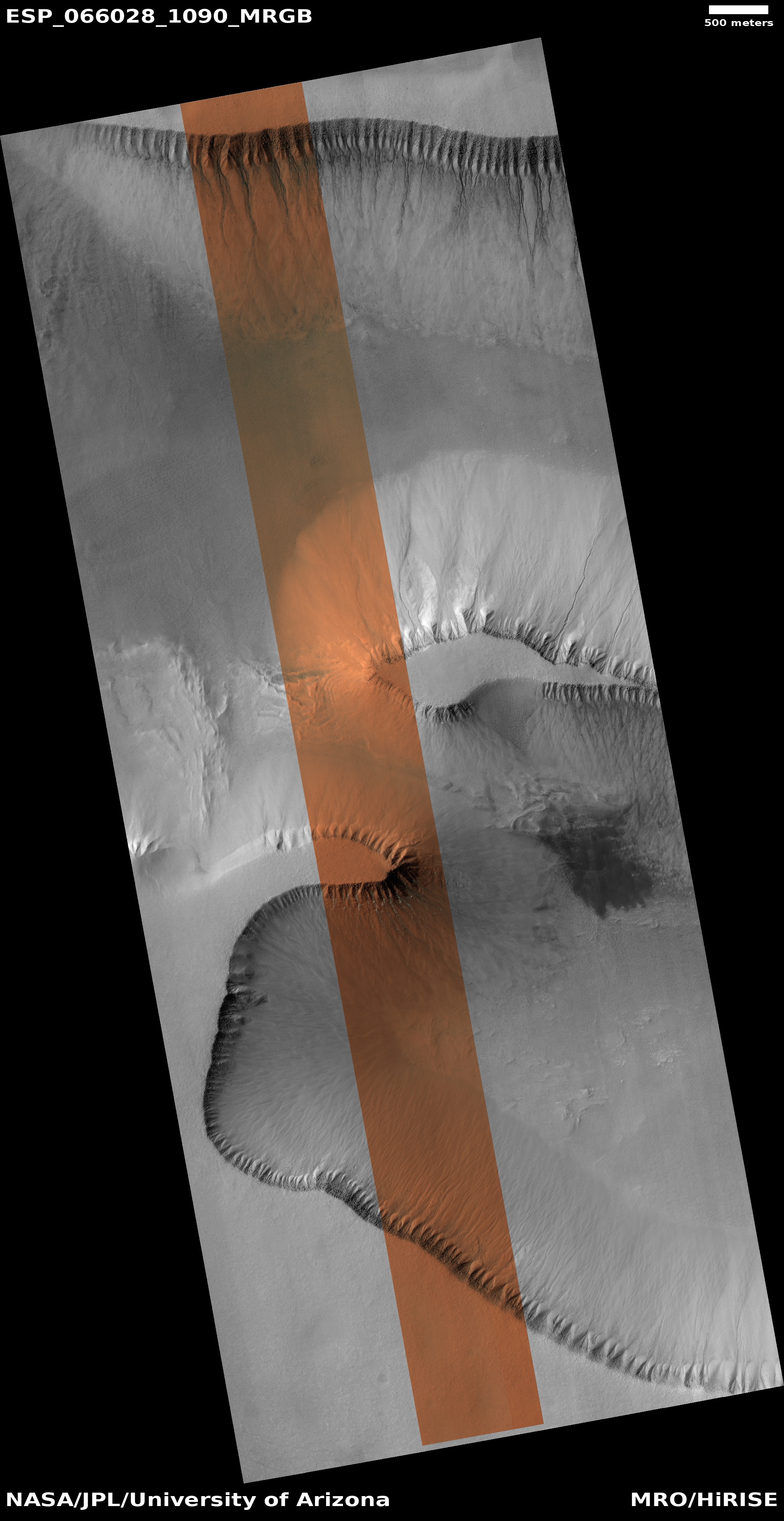
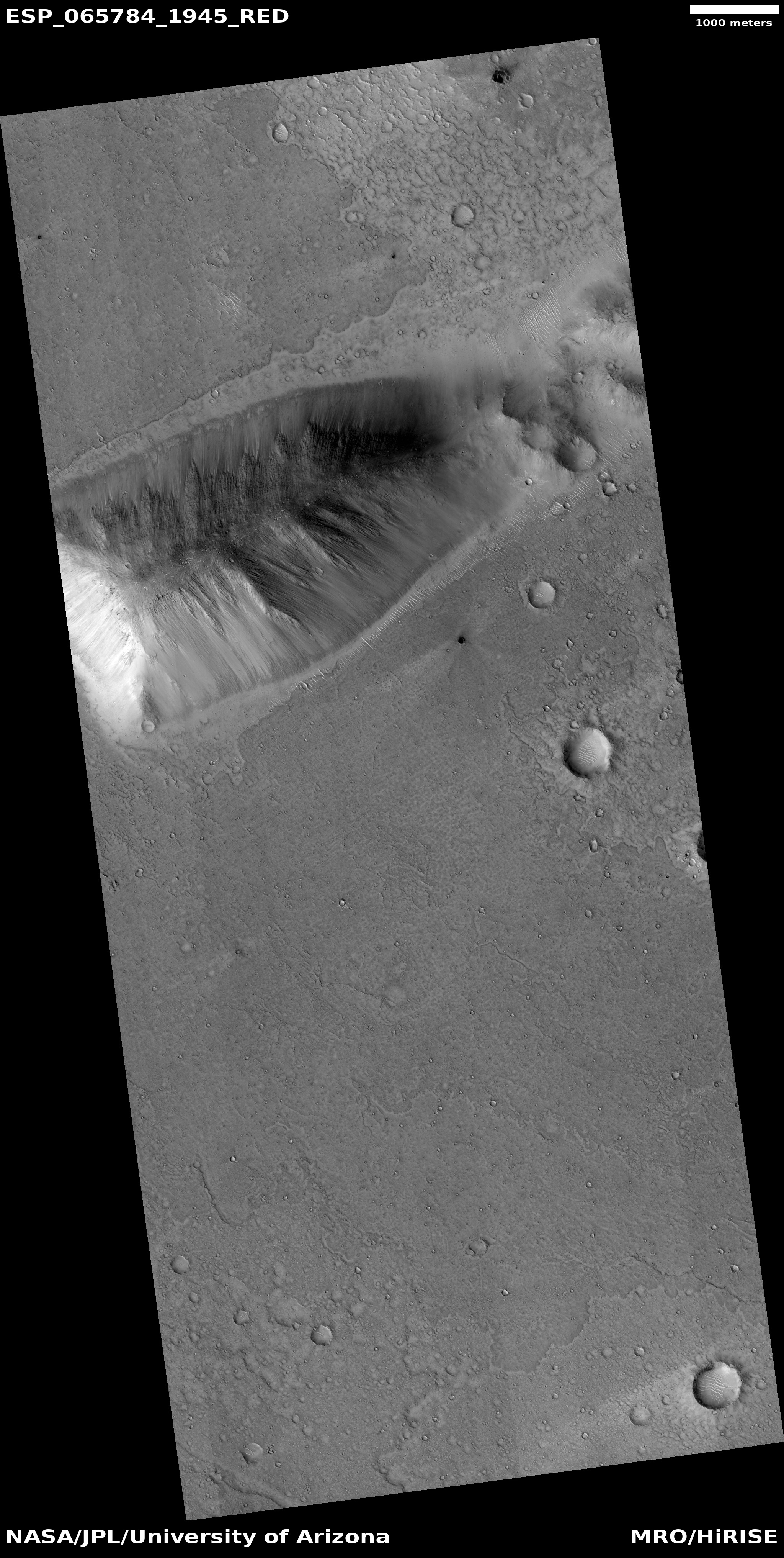
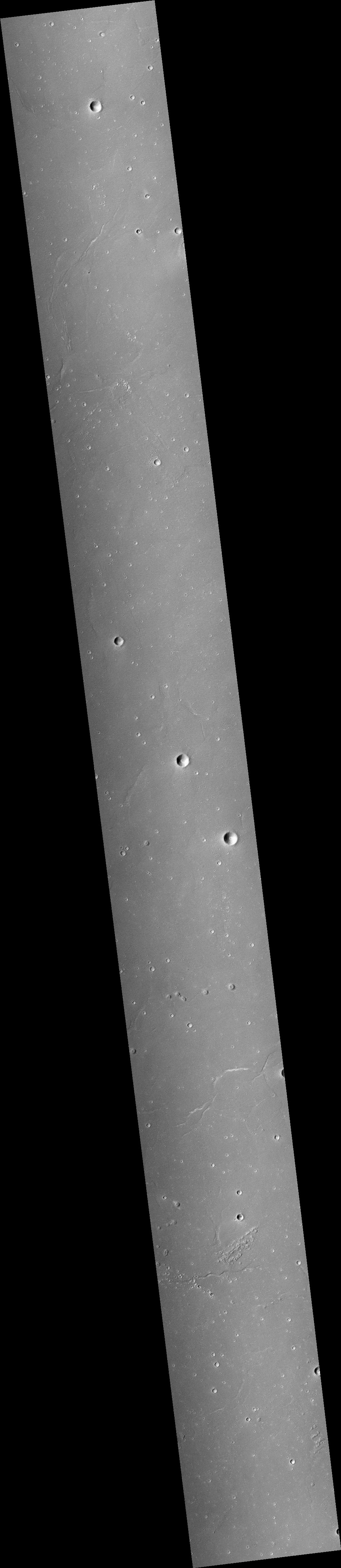
Click for full image.
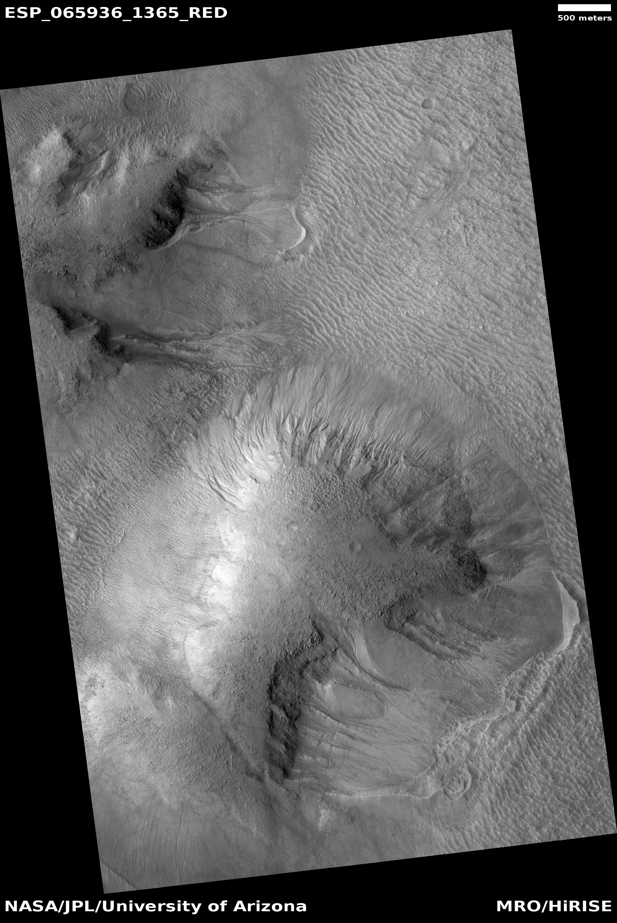
Cool image time! The photo to the right, rotated and cropped to post here, was taken on September 27, 2020 by the high resolution camera on Mars Reconnaissance Orbiter (MRO). It shows what is likely a crater that is partly buried by ice and dust and sand near or on the edge of Mars’s south polar ice cap.
It also shows an example of what planetary scientists have dubbed “cryptic terrain,” found generally on the margins of that ice cap. In this case, the location is on a plateau adjacent to the ice cap dubbed Promethei Planum. Despite a lot of searching, I could not locate any research papers describing Promethei Planum, though data outlined in one Mars Express press release from 2008 suggested it was part of the polar ice cap more than two miles thick that is covered by a thin mantle of dry ice each winter.
The strange curlicue cliffs and plateaus seen here are thought to form as part of the arrival and then sublimation away of that seasonal dry ice mantle, but how that process exactly works to create these particular geological features remains I think a mystery. North is to the top. The general grade is also downhill away from the icecap to the north.
Moreover, the overview map below, with the location of this image indicated by the blue cross, illustrates more mysteries.
» Read more


