
Splats on Mars!
Click for original image.
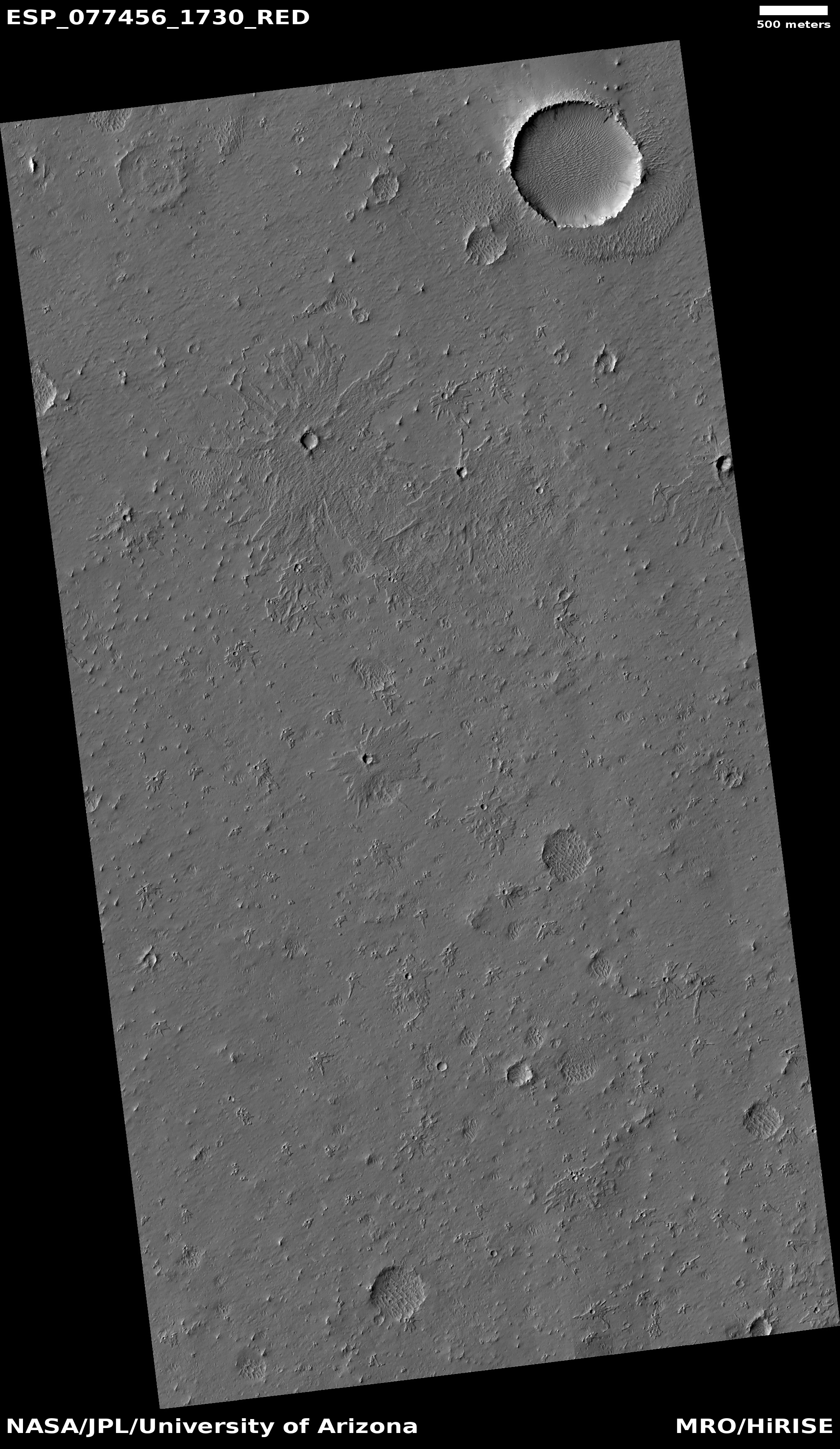
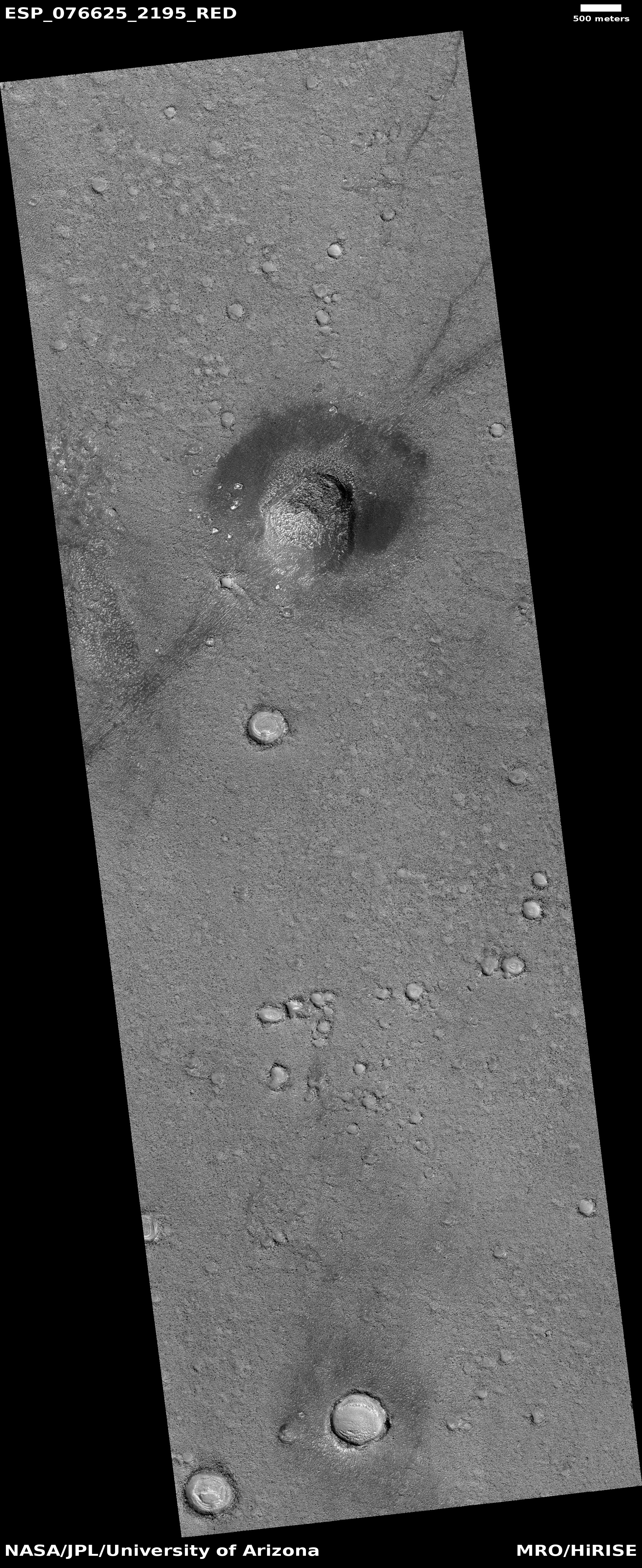
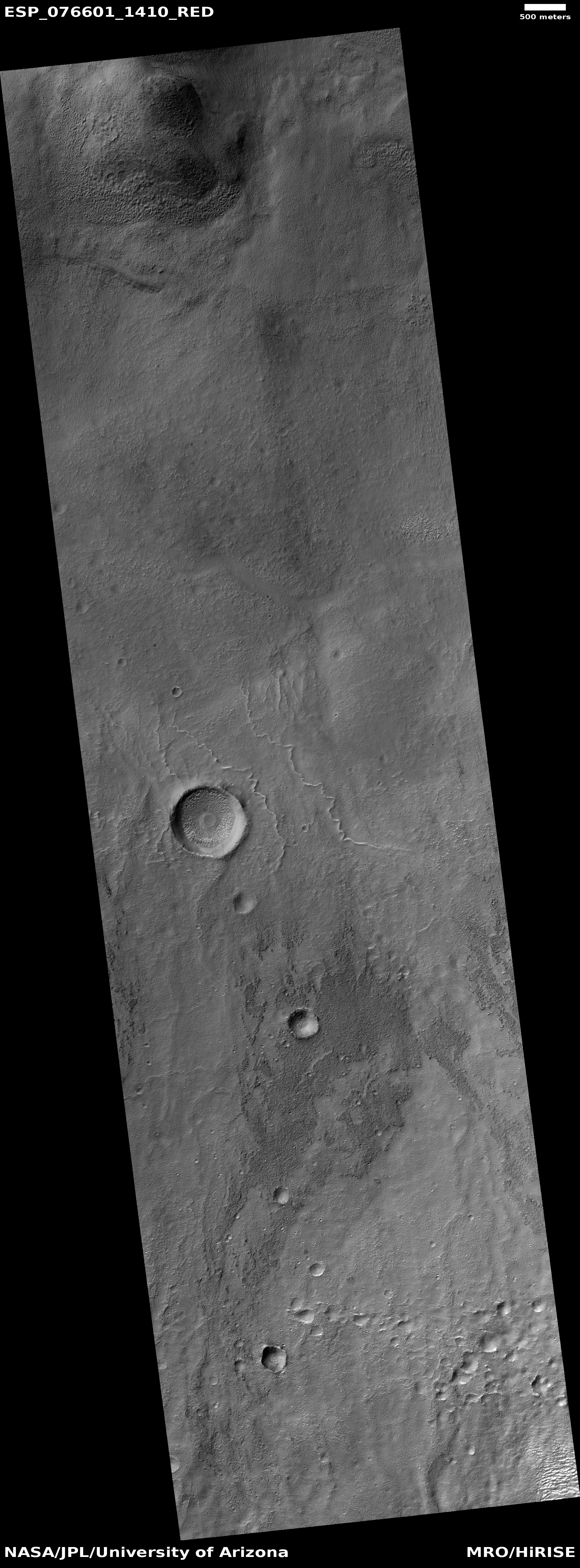
Cool image time! The picture to the right, cropped and sharpened to post here, was taken on February 3, 2023 by the high resolution camera on Mars Reconnaissance Orbiter (MRO). It shows a number of crater splats of varying sizes. If you look at the full image, you will find several even bigger splats to the north of the one in the picture to the right. You will also see many more similar-sized crater splats to the south.
I cannot provide any confident explanation about what caused these splats, other than to assume that most here are secondary impacts from ejecta thrown out by a larger impact somewhere nearby. I also assume all these small impacts occurred at the same time because they all appear to have hit the ground when it had the same thick liquid consistency, a condition that was probably temporary. Note for example how many of the other craters in the full image do not have this same splattered look.
» Read more


