A paper published this week in Geophysical Research Letters by the science team for China Zhurong Martian rover has revealed the discovery of small polygon cracks on the surface of the many curved light-colored small dunes found in the region where Zhurong landed, suggesting the possibility of relatively recent water activity between the atmosphere and the dune surfaces.
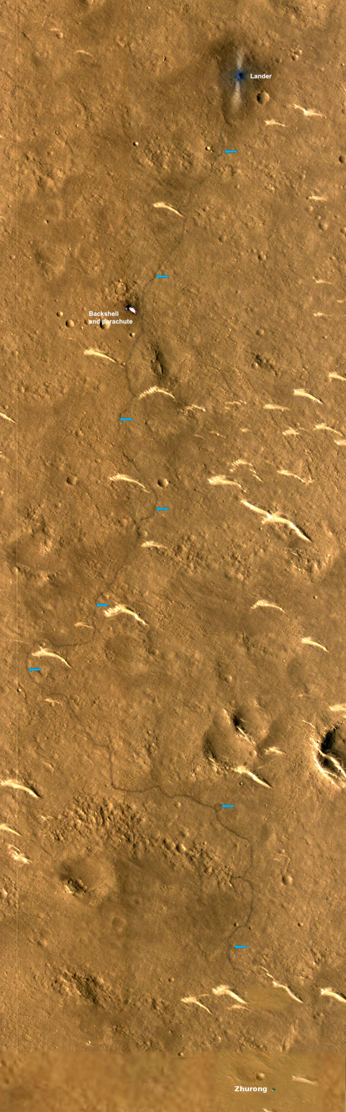
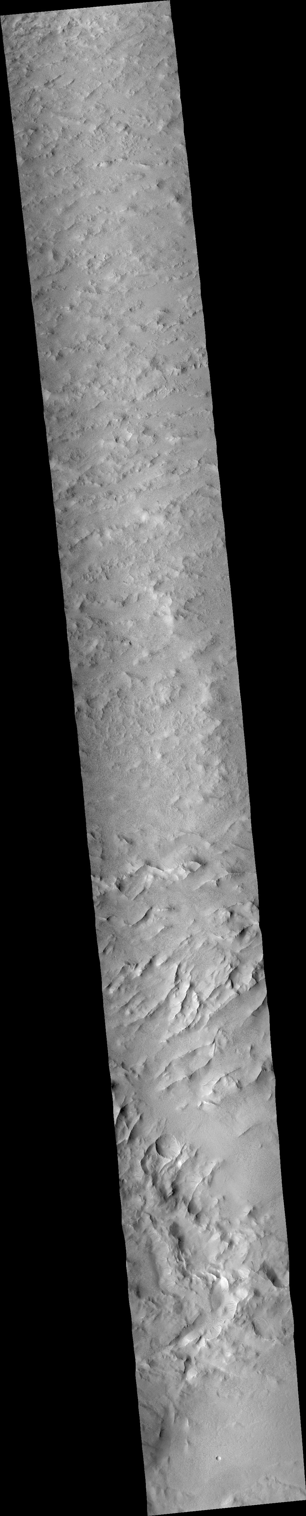
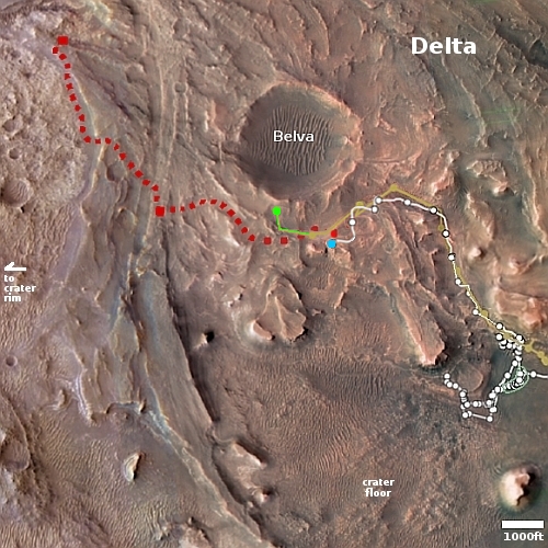
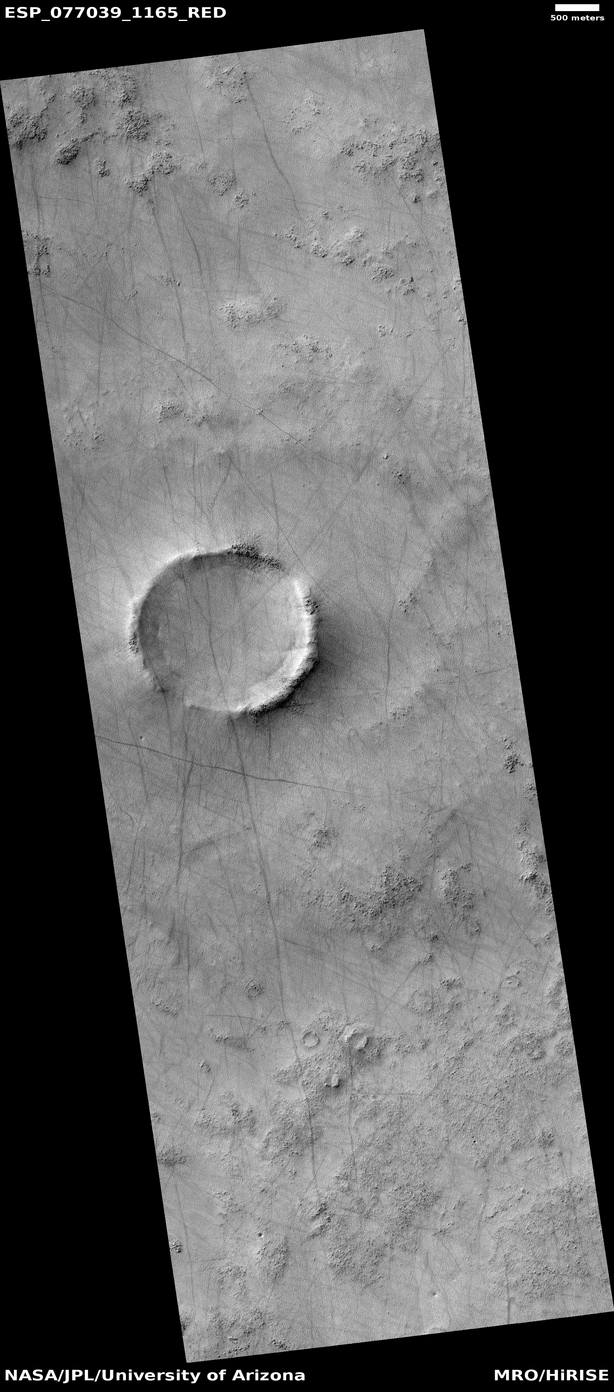
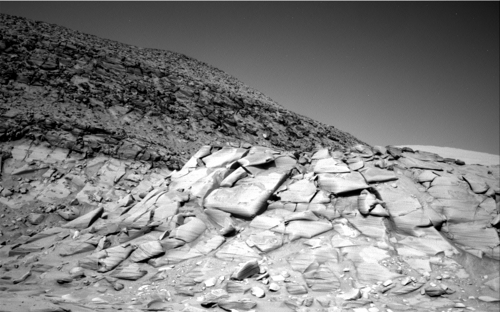
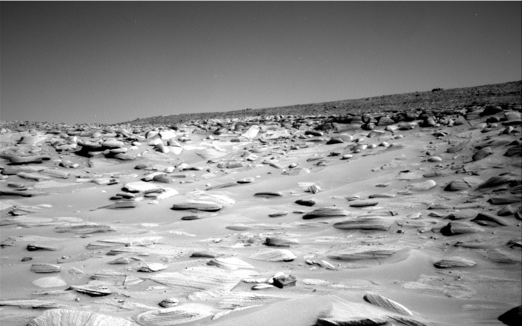
Those dunes, dubbed transverse aeolian ridges (TARs) by the science team, are the many light curves visible in the labeled Mars Reconnaissance mosaic to the right. The blue arrows indicate Zhurong’s path south from its landing spot at the top and ending near the bottom of the picture after traveling about 1,400 feet.
According to the paper, the TARs were formed by the prevailing winds over many eons, coming first from the north and then from the northwest. The edges of the ridges, being smaller, are pushed ahead quicker, thus creating the curved shape. The polygons were small, never larger than 4 inches in size, with five to six sides. The scientists theorize that they were formed when atmospheric water interacted with the dune crust, causing fractures “due to temperature/moisture changes or deliquescence/dehydration cycling of salts”. This process could be slow or fast, and could actually be occurring in relatively recent times, as the scientists say it requires only a little water in the atmosphere.
More likely however we are seeing evidence of water from the past, from tens of thousands to several million years ago.
Zhurong meanwhile remains in hibernation, and might never come out of that condition. Orbital images indicate that its solar panels are dust-covered, the result of the heavy winter dust storm season. The project team however is hopeful that with time and the arrival of Martian summer the dust will be blown off and they can reactivate the rover. This hope however entirely depends on the arrival of a dust devil acoss the top of Zhurong, a random event that cannot be predicted. With both the Spirit and Opportunity rovers, such events happened regularly, allowing those missions to last years instead of only 90 days. With InSight it never happened, and the lander died after two-plus years on Mars.
Zhurong’s future fate thus remains unknown, but not promising at this moment.


